|
Hucknall Urban District
Hucknall was an urban district in Nottinghamshire, England, from 1894 to 1974. It was created under the Local Government Act 1894 based on the Hucknall Torkard urban sanitary district. It was centred on the town of Hucknall. In 1935 it gained parts of Linby and Papplewick from the Basford Rural District. Its neighbours were the county borough of Nottingham to the south and the Basford Rural District to the north, east and west. Since 1974 the town of Hucknall has formed part of the Ashfield district, with Linby and Papplewick becoming part of Gedling Gedling is a village in the Gedling district, in Nottinghamshire, England, four miles northeast of Nottingham city centre. The population at the 2011 census of the ward was 6,817 and 111,787 for the district. Gedling was recorded in the Domes .... ReferencesHucknall Urban District at Vision of Britain Districts of England created by the Local Government Act 1894 Districts of England abolished by the Local Government A ... [...More Info...] [...Related Items...] OR: [Wikipedia] [Google] [Baidu] |
Hucknall
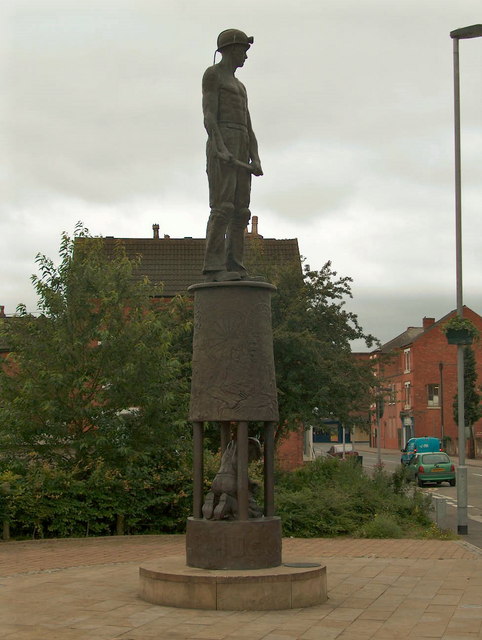
Hucknall, formerly Hucknall Torkard, is a market town in the Ashfield district of Nottinghamshire, England. It lies 7 miles north of Nottingham, 7 miles south-east of Kirkby-in-Ashfield, 9 miles from Mansfield and 10 miles south of Sutton-in-Ashfield. It is the second largest town in the Ashfield district after Sutton-in-Ashfield. Hucknall is north-west of Nottingham, on the west bank of the Leen Valley, on land which rises from the Trent Valley in the south and extends northwards to Kirkby-in-Ashfield. The Whyburn or Town Brook flows through the town centre. Farleys Brook marks its southern boundary. Due to the mass amount of housing and industrial estates along the southside of the town. Hucknall is contiguous with the wider City of Nottingham with the suburbs of Bulwell and Bestwood Village both to the south and southeast. The town's highest point is Long Hill, at above sea level, with views over the city and Trent Valley, which descends to 22–24 metres (72–79&nbs ... [...More Info...] [...Related Items...] OR: [Wikipedia] [Google] [Baidu] |
