|
Hozu River
The is a part of Katsura River in Kyoto Prefecture, Japan. The river begins in the mountains near Kameoka, a town northwest of Kyoto City. It snakes into the Arashiyama section of western Kyoto before changing its name to Katsura River. The Hozu River is considered scenic, and is known primarily for its association with ''Hozugawa Kudari'', literally "down the Hozu river", a sightseeing whitewater boat that goes downstream from Kameoka to Arashiyama. Hozugawa Kudari is especially popular in the fall, when the Japanese Maple leaves change colors, and in the Spring, when the sakura A cherry blossom, also known as Japanese cherry or sakura, is a flower of many trees of Prunus, genus ''Prunus'' or Prunus subg. Cerasus, ''Prunus'' subg. ''Cerasus''. They are common species in East Asia, including China, Korea and especia ..., or Japanese cherry tree, blooms. The trip usually takes about two hours. In August, 2006, a rock fell from the mountains that line the river and hit ... [...More Info...] [...Related Items...] OR: [Wikipedia] [Google] [Baidu] |
Katsura River
The is a continuation of two other rivers, the Hozu River, a small, speedy river which begins in the mountains near Kameoka and then slithers through the mountains separating Kameoka and Kyoto; and the Ōi River (大堰川 ''Ōi-gawa''), which emerges from those mountains and expands into a shallow, slow-flowing river until Togetsukyo Bridge in Arashiyama. From that point forward, the river is referred to as the Katsura River, and its flow continues for several kilometers through Kyoto Prefecture until it joins the Kamo and Uji rivers. The Katsura River area features some of the oldest shrines in Kyoto and Japan, such as Matsuo Shrine, and, as a counterpoint to the channelled Kamo River, supports acres of agricultural area on its flood plain. It also is known for its summer supply of '' ayu'' and is a popular place for holding barbecues. See also * Katsura, Kyoto Katsura (桂) is a neighborhood in Nishikyo-ku, in the western part of the city of Kyoto, Japan. Predominant ... [...More Info...] [...Related Items...] OR: [Wikipedia] [Google] [Baidu] |
Japan
Japan ( ja, 日本, or , and formally , ''Nihonkoku'') is an island country in East Asia. It is situated in the northwest Pacific Ocean, and is bordered on the west by the Sea of Japan, while extending from the Sea of Okhotsk in the north toward the East China Sea, Philippine Sea, and Taiwan in the south. Japan is a part of the Ring of Fire, and spans Japanese archipelago, an archipelago of List of islands of Japan, 6852 islands covering ; the five main islands are Hokkaido, Honshu (the "mainland"), Shikoku, Kyushu, and Okinawa Island, Okinawa. Tokyo is the Capital of Japan, nation's capital and largest city, followed by Yokohama, Osaka, Nagoya, Sapporo, Fukuoka, Kobe, and Kyoto. Japan is the List of countries and dependencies by population, eleventh most populous country in the world, as well as one of the List of countries and dependencies by population density, most densely populated and Urbanization by country, urbanized. About three-fourths of Geography of Japan, the c ... [...More Info...] [...Related Items...] OR: [Wikipedia] [Google] [Baidu] |
Kameoka
is a city in Kyoto Prefecture, Japan. , the city had an estimated population of 87,518 in 29,676 households and a population density of 390 persons per km². The total area of the city is . Geography Kameoka abuts Kyoto to the east and is located to the north of Osaka. It is on the border line between former Tanba and Yamashiro Provinces. Together with Nantan city, the region is known as Southern Tanba, Kuchitan or Nanatan. For centuries, Kameoka served as a key transportation point to connect San'in region and Tanba providence with Kyoto. Today, the city serves as one of the suburbs of Metro Kyoto. Kameoka is notable as the launch point for Hozugawa Kudari, a boat ride down the Hozu River. It is also the location of Anaoji Temple, one of the 21 temples in western Japan authorized to issue amulets in the name of the Boddhisattva Kannon. Neighbouring municipalities Kyoto Prefecture * Kyoto * Nantan Osaka Prefecture * Ibaraki * Takatsuki * Nose * Toyono Climate Kameo ... [...More Info...] [...Related Items...] OR: [Wikipedia] [Google] [Baidu] |
Kyoto City
Kyoto (; Japanese: , ''Kyōto'' ), officially , is the capital city of Kyoto Prefecture in Japan. Located in the Kansai region on the island of Honshu, Kyoto forms a part of the Keihanshin metropolitan area along with Osaka and Kobe. , the city had a population of 1.46 million. The city is the cultural anchor of a substantially larger metropolitan area known as Greater Kyoto, a metropolitan statistical area (MSA) home to a census-estimated 3.8 million people. Kyoto is one of the oldest municipalities in Japan, having been chosen in 794 as the new seat of Japan's imperial court by Emperor Kanmu. The original city, named Heian-kyō, was arranged in accordance with traditional Chinese feng shui following the model of the ancient Chinese capital of Chang'an/Luoyang. The emperors of Japan ruled from Kyoto in the following eleven centuries until 1869. It was the scene of several key events of the Muromachi period, Sengoku period, and the Boshin War, such as the Ōnin War, the Honnō- ... [...More Info...] [...Related Items...] OR: [Wikipedia] [Google] [Baidu] |
Arashiyama
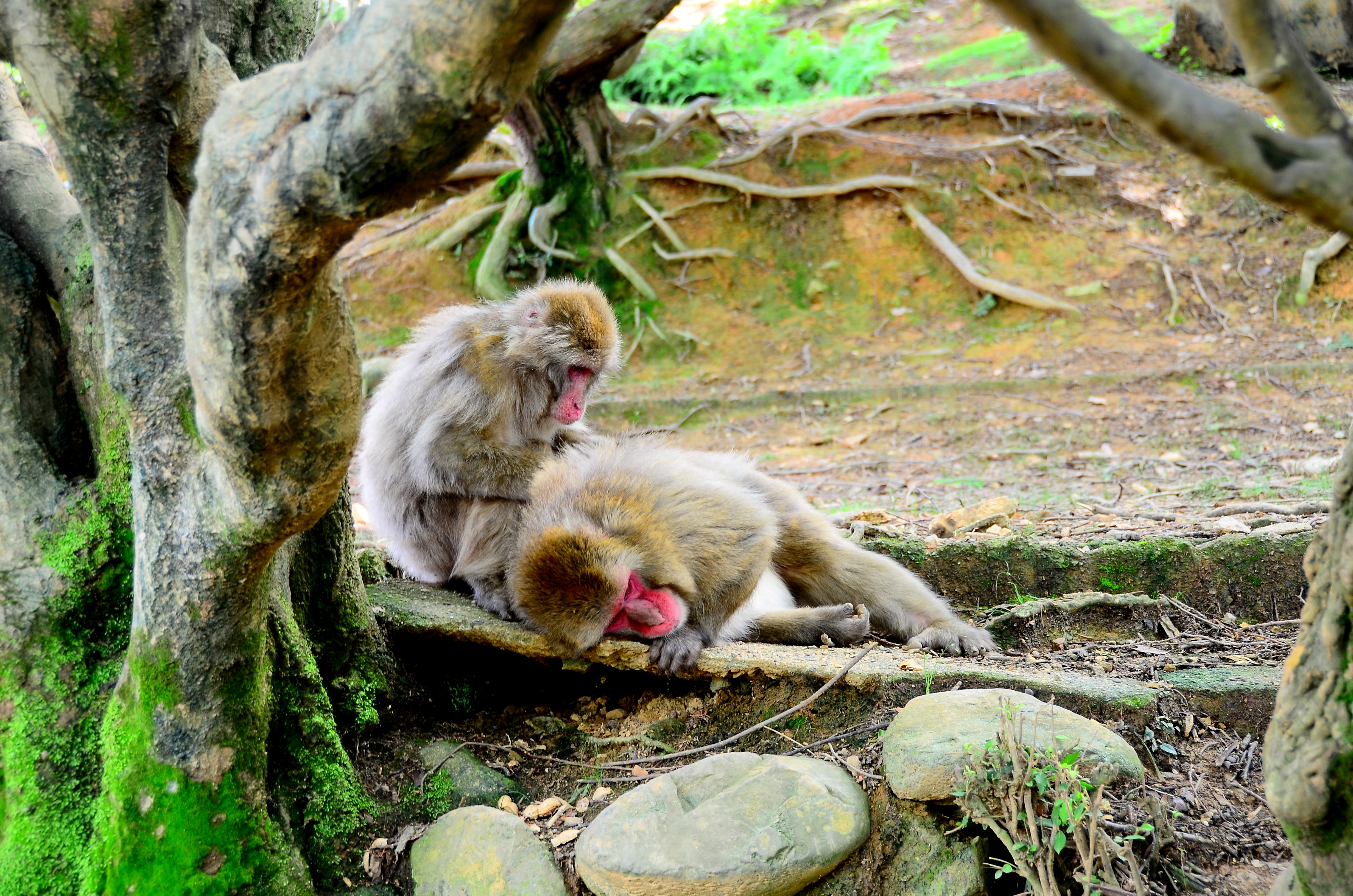
is a district on the western outskirts of Kyoto, Japan. It also refers to the mountain across the Ōi River, which forms a backdrop to the district. Arashiyama is a nationally designated Historic Site and Place of Scenic Beauty. Notable tourist sites * Arashiyama Bamboo Grove *The Iwatayama Monkey Park on the slopes of Arashiyama. Over 170 monkeys live at the park. While the monkeys are wild, they have become accustomed to humans. The park is on a small mountain not far from the Saga-Arashiyama rail station. Visitors can approach and photograph the monkeys. At the summit is a fenced enclosure where visitors can feed the monkeys. *The "Moon Crossing Bridge" (渡月橋, Togetsukyō), notable for its views of cherry blossoms and autumn colors on the slopes of Arashiyama. *The tombstone of the Heike courtesan Kogo of Sagano. *Tenryū-ji, the main temple of one of the 15 branches of the Rinzai school, one of the two main sects of Zen Buddhism in Japan. *The hamlet of Kiyotaki, ... [...More Info...] [...Related Items...] OR: [Wikipedia] [Google] [Baidu] |
Whitewater
Whitewater forms in a rapid context, in particular, when a river's gradient changes enough to generate so much turbulence that air is trapped within the water. This forms an unstable current that froths, making the water appear opaque and white. The term "whitewater" also has a broader meaning, applying to any river or creek that has a significant number of rapids. The term is also used as an adjective describing boating on such rivers, such as whitewater canoeing or whitewater kayaking. Fast rivers Four factors, separately or in combination, can create rapids: gradient, constriction, obstruction, and flow rate. Gradient, constriction, and obstruction are streambed topography factors and are relatively consistent. Flow rate is dependent upon both seasonal variation in precipitation and snowmelt and upon release rates of upstream dams. Streambed topography Streambed topography is the primary factor in creating rapids, and is generally consistent over time. Increased f ... [...More Info...] [...Related Items...] OR: [Wikipedia] [Google] [Baidu] |
Japanese Maple
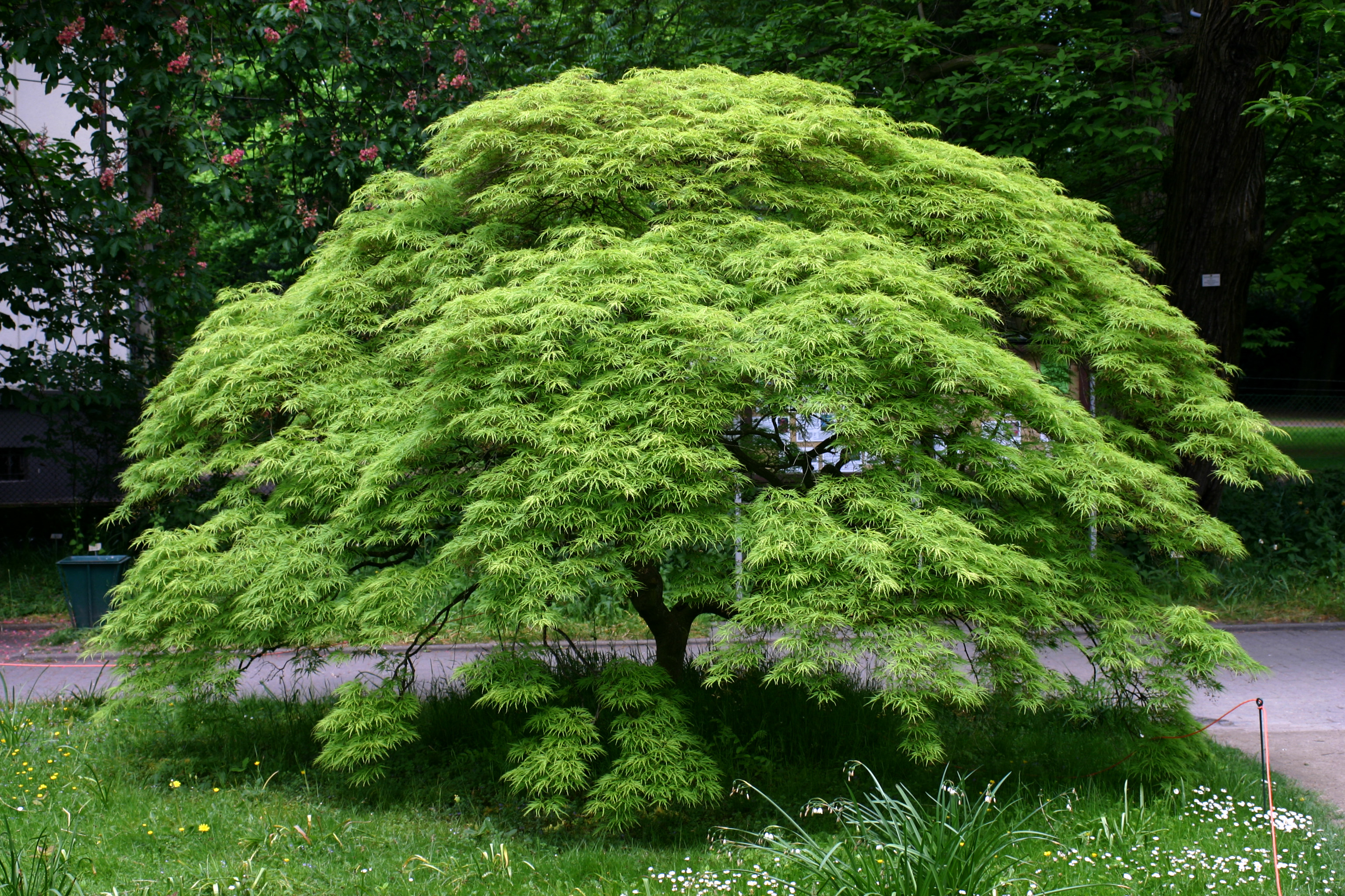
''Acer palmatum'', commonly known as Japanese maple, palmate maple, or smooth Japanese maple (Japanese: ''irohamomiji'', , or ''momiji'', (栴), is a species of woody plant native to Japan, Korea, China, eastern Mongolia, and southeast Russia. Many different cultivars of this maple have been selected and they are grown worldwide for their large variety of attractive forms, leaf shapes, and spectacular colors. Description ''Acer palmatum'' is a deciduous shrub or small tree reaching heights of , rarely , reaching a mature width of , often growing as an understory plant in shady woodlands. It may have multiple trunks joining close to the ground. In habit, its canopy often takes on a dome-like form, especially when mature.van Gelderen, C.J. & van Gelderen, D.M. (1999). ''Maples for Gardens: A Color Encyclopedia''. The leaves are long and wide, palmately lobed with five, seven, or nine acutely pointed lobes. The flowers are produced in small cymes, the individual flowers with fiv ... [...More Info...] [...Related Items...] OR: [Wikipedia] [Google] [Baidu] |
Sakura
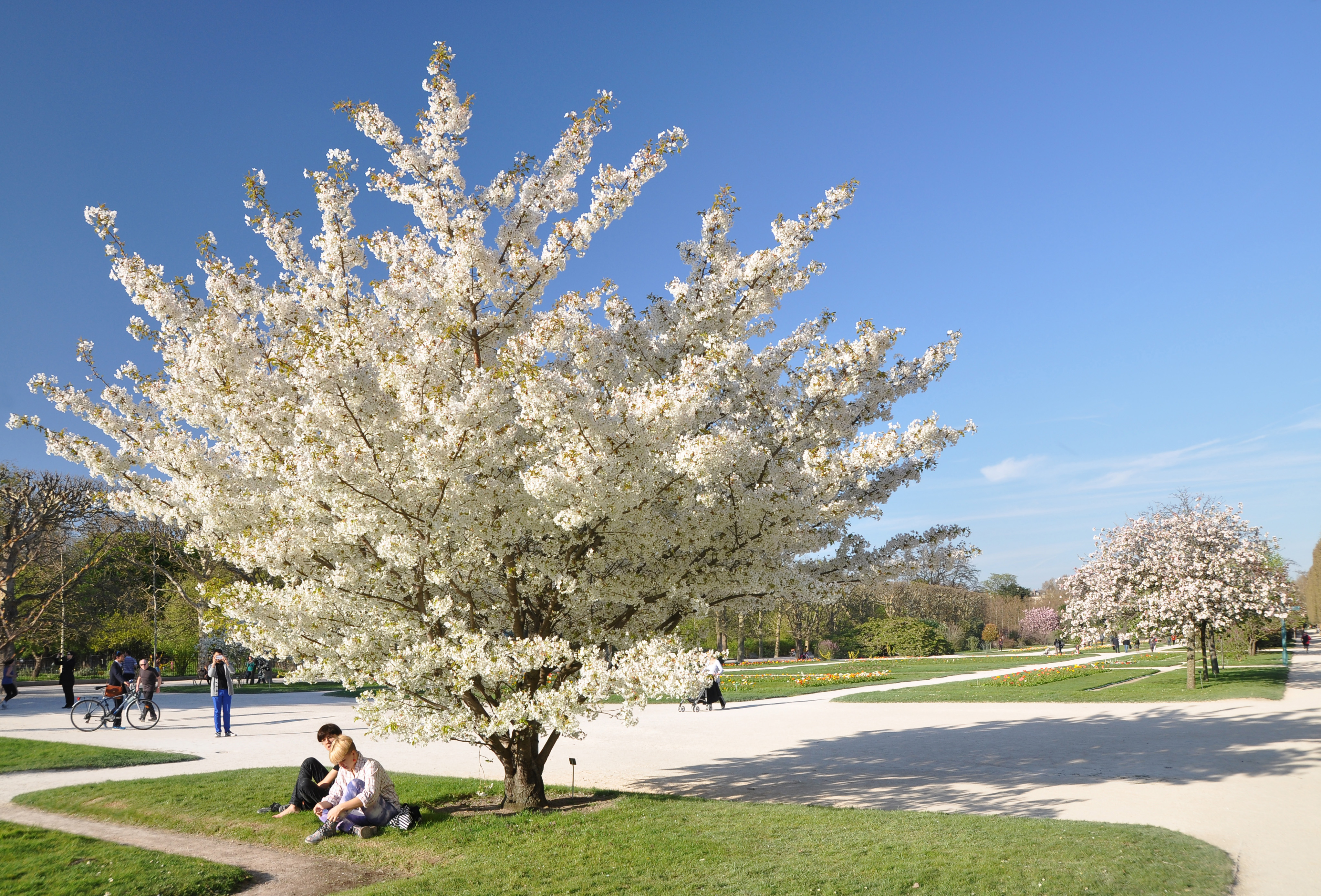
A cherry blossom, also known as Japanese cherry or sakura, is a flower of many trees of Prunus, genus ''Prunus'' or Prunus subg. Cerasus, ''Prunus'' subg. ''Cerasus''. They are common species in East Asia, including China, Korea and especially in Japan. They generally refer to ornamental cherry trees, not to be confused with cherry tree, cherry trees that produce fruit for eating.Toshio Katsuki. (2015) ''Sakura''. pp.14–18 Iwanami Shoten. It is considered the national flower of Japan. Wild species of the cherry tree is widely distributed mainly in the Northern hemisphere. In the mainstream classification in Europe and North America, cherry trees for ornamental purposes are classified into the genus ''Prunus'' which consists of about 400 species. In the mainstream classification in Japan, China, and Russia, on the other hand, ornamental cherry trees are classified into the genus ''Cerasus'', which consists of about 100 species separated from the genus ''Prunus'', and the g ... [...More Info...] [...Related Items...] OR: [Wikipedia] [Google] [Baidu] |
Rivers Of Kyoto Prefecture
A river is a natural flowing watercourse, usually freshwater, flowing towards an ocean, sea, lake or another river. In some cases, a river flows into the ground and becomes dry at the end of its course without reaching another body of water. Small rivers can be referred to using names such as creek, brook, rivulet, and rill. There are no official definitions for the generic term river as applied to geographic features, although in some countries or communities a stream is defined by its size. Many names for small rivers are specific to geographic location; examples are "run" in some parts of the United States, "burn" in Scotland and northeast England, and "beck" in northern England. Sometimes a river is defined as being larger than a creek, but not always: the language is vague. Rivers are part of the water cycle. Water generally collects in a river from precipitation through a drainage basin from surface runoff and other sources such as groundwater recharge, springs, a ... [...More Info...] [...Related Items...] OR: [Wikipedia] [Google] [Baidu] |


.jpg)


