|
Hoshigatō Obsidian Mine Site
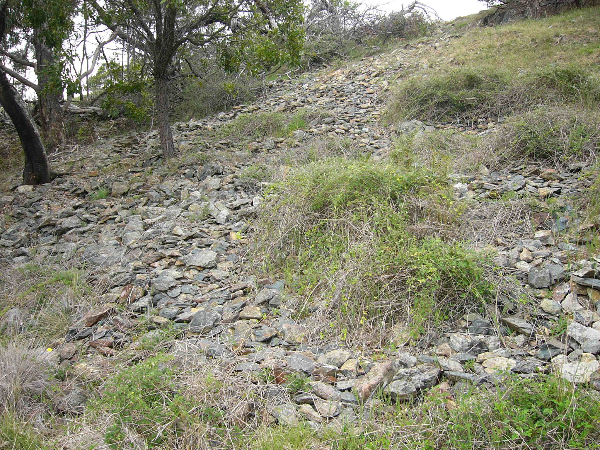
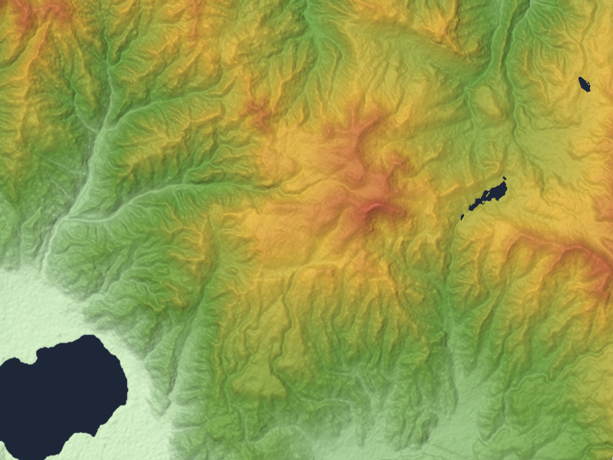
The is a Jōmon period archaeological site consisting 193 shallow interconnected pits over a 35,000 square meter area, from which obsidian had been mined, located in what is now part of the town of Nagawa in the Chūbu region Japan. It has been protected as a National Historic Site since 2015. Overview The Hoshigatō site is located northwest of slope of Mount Kirigamine at an elevation of 1500 meters, within the Higashimata National Forest in the northeastern part of Shimosuwa. Obsidian, or "volcanic glass" was frequently used for stone tools and weapons in the Japanese Paleolithic period as it could be fractured by lithic reduction to produce sharp blades or arrowheads, and frequently occurs in volcanic formation around Japan. Archaeological excavations have found that obsidian was extracted from this location from the early Jōmon period (about 5700 years ago) through the late Jōmon period (2000–1000 BCE). Physicochemical analysis has found that obsidian from this ... [...More Info...] [...Related Items...] OR: [Wikipedia] [Google] [Baidu] |
Shimosuwa, Nagano
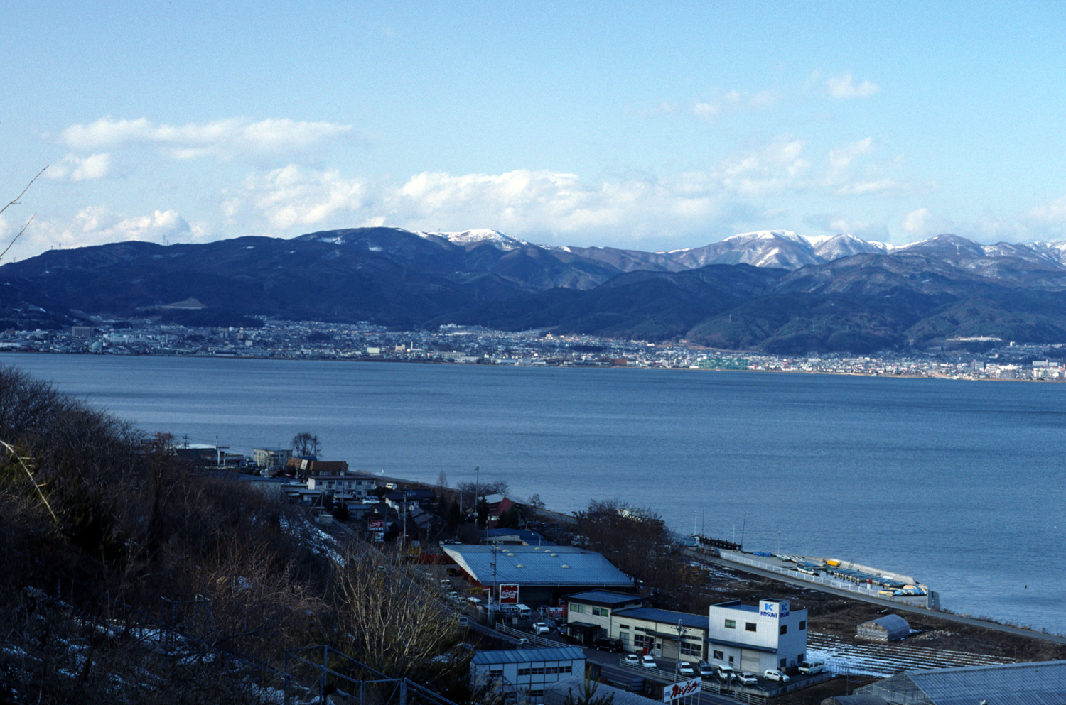
is a Towns of Japan, town located in Nagano Prefecture, Japan. , the town had an estimated population of 20,055 in 8864 households, and a population density of 300 persons per km². The total area of the town is . Geography Shimosuwa is located in central Nagano Prefecture, approximately 50 kilometers from the prefectural capital of Nagano city and 200 kilometers from Tokyo. The town is bordered on the south by Lake Suwa. The town has an altitude of 760 meters at the town center, and is 82% forested. Surrounding municipalities *Nagano Prefecture ** Matsumoto, Nagano, Matsumoto ** Suwa, Nagano, Suwa ** Okaya, Nagano, Okaya ** Nagawa, Nagano, Nagawa Climate The town has a humid continental climate characterized by warm and humid summers, and cold winters (Köppen climate classification ''Dfb''). The average annual temperature in Shimosuwa is 7.3 °C. The average annual rainfall is 1540 mm with September as the wettest month. The temperatures are highest on average in A ... [...More Info...] [...Related Items...] OR: [Wikipedia] [Google] [Baidu] |
Japanese Paleolithic
The is the period of human inhabitation in Japan predating the development of pottery, generally before 10,000 BC. The starting dates commonly given to this period are from around 40,000 BC; although any date of human presence before 35,000 BC is controversial, with artifacts supporting a pre-35,000 BC human presence on the archipelago being of questionable authenticity. Charles T. Keally The period extended to the beginning of the Mesolithic , or around 14,000 BC. The earliest human bones were discovered in the city of in |
History Of Nagano Prefecture
History (derived ) is the systematic study and the documentation of the human activity. The time period of event before the invention of writing systems is considered prehistory. "History" is an umbrella term comprising past events as well as the memory, discovery, collection, organization, presentation, and interpretation of these events. Historians seek knowledge of the past using historical sources such as written documents, oral accounts, art and material artifacts, and ecological markers. History is not complete and still has debatable mysteries. History is also an academic discipline which uses narrative to describe, examine, question, and analyze past events, and investigate their patterns of cause and effect. Historians often debate which narrative best explains an event, as well as the significance of different causes and effects. Historians also debate the nature of history as an end in itself, as well as its usefulness to give perspective on the problems of the p ... [...More Info...] [...Related Items...] OR: [Wikipedia] [Google] [Baidu] |
Archaeological Sites In Japan
Archaeology or archeology is the scientific study of human activity through the recovery and analysis of material culture. The archaeological record consists of artifacts, architecture, biofacts or ecofacts, sites, and cultural landscapes. Archaeology can be considered both a social science and a branch of the humanities. It is usually considered an independent academic discipline, but may also be classified as part of anthropology (in North America – the four-field approach), history or geography. Archaeologists study human prehistory and history, from the development of the first stone tools at Lomekwi in East Africa 3.3 million years ago up until recent decades. Archaeology is distinct from palaeontology, which is the study of fossil remains. Archaeology is particularly important for learning about prehistoric societies, for which, by definition, there are no written records. Prehistory includes over 99% of the human past, from the Paleolithic until the adv ... [...More Info...] [...Related Items...] OR: [Wikipedia] [Google] [Baidu] |
List Of Historic Sites Of Japan (Nagano)
This list is of the Historic Sites of Japan located within the Prefecture of Nagano. National Historic Sites As of 1 August 2020, thirty-eight Sites have been designated as being of national significance (including one * Special Historic Site); the Nakasendō The , also called the ,Richard Lane, ''Images from the Floating World'' (1978) Chartwell, Secaucus ; pg. 285 was one of the five routes of the Edo period, and one of the two that connected Edo (modern-day Tokyo) to Kyoto in Japan. There were 69 ... spans the prefectural borders with Gifu. Prefectural Historic Sites As of 3 April 2020, sixty-eight Sites have been designated as being of prefectural importance. Municipal Historic Sites As of 1 May 2019, a further six hundred and eighty-one Sites have been designated as being of municipal importance. See also * Cultural Properties of Japan * Shinano Province * Nagano Prefectural Museum of History * List of Places ... [...More Info...] [...Related Items...] OR: [Wikipedia] [Google] [Baidu] |
Tōkai Region
The is a subregion of the Chūbu region and Kansai region in Japan that runs along the Pacific Ocean. The name comes from the Tōkaidō, one of the Edo Five Routes. Because Tōkai is a sub-region and is not officially classified, there is some disagreement about where exactly the region begins and ends, however Japanese maps widely conclude that the region includes Shizuoka, Aichi, Gifu and Mie prefectures. The largest major city in the region is Nagoya and the Chūkyō Metropolitan Area (Nagoya Metropolitan Area) makes up a large portion of the region and has Japan's third strongest economy. The business influence of this urban area sometimes extends out into the outlying areas of the three prefectures centered on Nagoya which are Aichi, Gifu, and Mie; this area is sometimes referred to as the Chūkyō region. Tōkai is a heavy manufacturing area and is one of the most industrial regions in Japan. Its coast is lined with densely populated cities with economies tha ... [...More Info...] [...Related Items...] OR: [Wikipedia] [Google] [Baidu] |
Tōhoku Region
The , Northeast region, or consists of the northeastern portion of Honshu, the largest island of Japan. This traditional region consists of six prefectures (''ken''): Akita, Aomori, Fukushima, Iwate, Miyagi, and Yamagata. Tōhoku retains a reputation as a remote, scenic region with a harsh climate. In the 20th century, tourism became a major industry in the Tōhoku region. History Ancient & Classical period In mythological times, the area was known as Azuma (吾妻, あづま) and corresponded to the area of Honshu occupied by the native Emishi and Ainu. The area was historically the Dewa and the Michinoku regions, a term first recorded in (654). There is some variation in modern usage of the term "Michinoku". Tōhoku's initial historical settlement occurred between the seventh and ninth centuries, well after Japanese civilization and culture had become firmly established in central and southwestern Japan. The last stronghold of the indigenous Emishi on Honsh ... [...More Info...] [...Related Items...] OR: [Wikipedia] [Google] [Baidu] |
Archaeological Excavation
In archaeology, excavation is the exposure, processing and recording of archaeological remains. An excavation site or "dig" is the area being studied. These locations range from one to several areas at a time during a project and can be conducted over a few weeks to several years. Excavation involves the recovery of several types of data from a site. This data includes artifacts (portable objects made or modified by humans), features (non-portable modifications to the site itself such as post molds, burials, and hearths), ecofacts (evidence of human activity through organic remains such as animal bones, pollen, or charcoal), and archaeological context (relationships among the other types of data).Kelly&Thomas (2011). ''Archaeology: down to earth'' (4th ed.). Belmont, Calif.: Wadsworth, Cengage Learning. Before excavating, the presence or absence of archaeological remains can often be suggested by, non-intrusive remote sensing, such as ground-penetrating radar. Basic infor ... [...More Info...] [...Related Items...] OR: [Wikipedia] [Google] [Baidu] |
Lithic Reduction
In archaeology, in particular of the Stone Age, lithic reduction is the process of fashioning stones or rocks from their natural state into tools or weapons by removing some parts. It has been intensely studied and many archaeological industries are identified almost entirely by the lithic analysis of the precise style of their tools and the chaîne opératoire of the reduction techniques they used. Normally the starting point is the selection of a piece of tool stone that has been detached by natural geological processes, and is an appropriate size and shape. In some cases solid rock or larger boulders may be quarried and broken into suitable smaller pieces, and in others the starting point may be a piece of the debitage, a flake removed from a previous operation to make a larger tool. The selected piece is called the lithic core (also known as the "objective piece"). A basic distinction is that between flaked or knapped stone, the main subject here, and ground stone ob ... [...More Info...] [...Related Items...] OR: [Wikipedia] [Google] [Baidu] |
Stone Tool
A stone tool is, in the most general sense, any tool made either partially or entirely out of stone. Although stone tool-dependent societies and cultures still exist today, most stone tools are associated with prehistoric (particularly Stone Age) cultures that have become extinct. Archaeologists often study such prehistoric societies, and refer to the study of stone tools as lithic analysis. Ethnoarchaeology has been a valuable research field in order to further the understanding and cultural implications of stone tool use and manufacture. Stone has been used to make a wide variety of different tools throughout history, including arrowheads, spearheads, hand axes, and querns. Stone tools may be made of either ground stone or knapped stone, the latter fashioned by a flintknapper. Knapped stone tools are made from cryptocrystalline materials such as chert or flint, radiolarite, chalcedony, obsidian, basalt, and quartzite via a process known as lithic reduction. ... [...More Info...] [...Related Items...] OR: [Wikipedia] [Google] [Baidu] |
Japan
Japan ( ja, 日本, or , and formally , ''Nihonkoku'') is an island country in East Asia. It is situated in the northwest Pacific Ocean, and is bordered on the west by the Sea of Japan, while extending from the Sea of Okhotsk in the north toward the East China Sea, Philippine Sea, and Taiwan in the south. Japan is a part of the Ring of Fire, and spans Japanese archipelago, an archipelago of List of islands of Japan, 6852 islands covering ; the five main islands are Hokkaido, Honshu (the "mainland"), Shikoku, Kyushu, and Okinawa Island, Okinawa. Tokyo is the Capital of Japan, nation's capital and largest city, followed by Yokohama, Osaka, Nagoya, Sapporo, Fukuoka, Kobe, and Kyoto. Japan is the List of countries and dependencies by population, eleventh most populous country in the world, as well as one of the List of countries and dependencies by population density, most densely populated and Urbanization by country, urbanized. About three-fourths of Geography of Japan, the c ... [...More Info...] [...Related Items...] OR: [Wikipedia] [Google] [Baidu] |
Mount Kirigamine
is a 1,925m volcano, located in Nagano Prefecture, Japan. Outline The tallest peak of Mount Kirigamine is Mount Kuruma, on which there is a weather radar site. Most of the mountain is covered in grass with sparse bushes and rocks. The south and east sides are suitable for gliding with a narrow landing zone in the vicinity of a parking lot and a huge emergency landing at the west side of the mountain. The southeast cliffs are a launching point for gliders, with winds above 3 meters. The north part is equipped with ski lifts. Access Vehicle access to the bottom of Kirigamine does not require four-wheel drive but snow chains may be necessary if there is heavy snow. Gallery KirigamineFromSouth.jpg, Mount Kuruma is a tallest peak File:Kurumayama04.JPG, Mount Kuruma from Mount Minaminomimi File:Mount Kirigamine 20140929.jpg, Kirigamine seen from the east. File:Yashima04.JPG, Mount Kirigamine and Yashimagahara Wetland File:Kurumayama08.JPG, A weather radar site on the top of Mou ... [...More Info...] [...Related Items...] OR: [Wikipedia] [Google] [Baidu] |


.jpg)
.jpg)


