|
Horton-in-Ribblesdale
Horton in Ribblesdale is a small village and civil parish in the Craven district of North Yorkshire, England. It is situated in Ribblesdale on the Settle–Carlisle Railway to the west of Pen-y-ghent. Its population in the 2001 census was 498 people in 211 households; decreasing to 428 at the 2011 Census. History It is first attested as ''Horton'' in the Domesday Book of 1086, with ''in Ribblesdale'' being added already in the 13th century to distinguish it from Horton, Lancashire. The place-name '' Horton'' is a common one in England. It derives from Old English ''horu'' 'dirt' and ''tūn'' 'settlement, farm, estate', presumably meaning 'farm on muddy soil'. Horton in Ribblesdale was historically a part of Ewcross wapentake in the West Riding of Yorkshire. It became a parish town in the early 12th century when the church of St. Oswald was established. This church was historically associated with the Deanery of Chester, and was part of the Diocese of York ... [...More Info...] [...Related Items...] OR: [Wikipedia] [Google] [Baidu] |
Pen-y-ghent
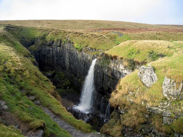
Pen-y-ghent or Penyghent is a fell in the Yorkshire Dales, England. It is the lowest of Yorkshire's Three Peaks at ; the other two being Ingleborough and Whernside. It lies east of Horton in Ribblesdale. It has a number of interesting geological features, such as Hunt Pot, and further down, Hull Pot. The waters that flow in have created an extensive cave system which rises at Brants Gill head. In 2004 the body of Lamduan Armitage, dubbed by the media the "Lady of the Hills", was found near to the entrance of Sell Gill Hole. Etymology In the Cumbric language, exactly as in today's Welsh, ''pen'' meant 'top' or 'head', and ''y'' is most likely the definite article (''the''), exactly as in Modern Welsh ''y'' (compare Pen-y-berth 'end of the hedge/copse', or Pen-y-ffordd 'head of the road/way', etc.). The element ''ghent'' is more obscure, it could be taken to be 'edge' or 'border'. The name ''Pen-y-ghent'' could therefore mean 'Hill on the border' (compare Kent). Or else, the fi ... [...More Info...] [...Related Items...] OR: [Wikipedia] [Google] [Baidu] |
Craven District
Craven is a local government district of North Yorkshire, England centred on the market town of Skipton. In 1974, Craven District was formed as the merger of Skipton urban district, Settle Rural District and most of Skipton Rural District, all in the West Riding of Yorkshire. The population of the Local Authority area at the 2011 Census was 55,409. It comprises the upper reaches of Airedale, Wharfedale, Ribblesdale, and includes most of the Aire Gap and Craven Basin. The name Craven is much older than the modern district, and encompassed a larger area. This history is also reflected in the way the term is still commonly used, for example by the Church of England. History ''Craven'' has been the name of this district throughout recorded history. Note: Select the Thorton in Craven entry. Its extent in the 11th century can be deduced from The Domesday Book but its boundaries now differ according to whether considering administration, taxation or religion. Toponymy The deri ... [...More Info...] [...Related Items...] OR: [Wikipedia] [Google] [Baidu] |
Ribblesdale
Ribblesdale is one of the Yorkshire Dales in England. It is the dale or upper valley of the River Ribble in North Yorkshire. Towns and villages in Ribblesdale (downstream, from north to south) include Selside, Horton-in-Ribblesdale, Stainforth, Langcliffe, Giggleswick, Settle, Long Preston and Hellifield. Below Hellifield (sometimes below Settle) the valley of the river is generally known as the Ribble Valley. Above Settle the dale is within the Yorkshire Dales National Park. It is a popular tourist area, particularly for walking. The Yorkshire Three Peaks rise to the east and west of the dale. The Ribble Way runs the length of the dale. At the head of the dale is the Ribblehead Viaduct, crossed by the Settle to Carlisle railway which runs through the dale. Quarrying has been an important industry within the dale, and three quarries are still being worked; Arcow and Dry Rigg quarries produce gritstone (greywacke), and Horton Quarry produces limestone. The dale was h ... [...More Info...] [...Related Items...] OR: [Wikipedia] [Google] [Baidu] |
Chester
Chester is a cathedral city and the county town of Cheshire, England. It is located on the River Dee, close to the English–Welsh border. With a population of 79,645 in 2011,"2011 Census results: People and Population Profile: Chester Locality"; downloaded froCheshire West and Chester: Population Profiles, 17 May 2019 it is the most populous settlement of Cheshire West and Chester (a unitary authority which had a population of 329,608 in 2011) and serves as its administrative headquarters. It is also the historic county town of Cheshire and the second-largest settlement in Cheshire after Warrington. Chester was founded in 79 AD as a "castrum" or Roman fort with the name Deva Victrix during the reign of Emperor Vespasian. One of the main army camps in Roman Britain, Deva later became a major civilian settlement. In 689, King Æthelred of Mercia founded the Minster Church of West Mercia, which later became Chester's first cathedral, and the Angles extended and strengthene ... [...More Info...] [...Related Items...] OR: [Wikipedia] [Google] [Baidu] |
Northern England
Northern England, also known as the North of England, the North Country, or simply the North, is the northern area of England. It broadly corresponds to the former borders of Angle Northumbria, the Anglo-Scandinavian Kingdom of Jorvik, and the Celt Britonic Yr Hen Ogledd Kingdoms. The common governmental definition of the North is a grouping of three statistical regions: the North East, the North West, and Yorkshire and the Humber. These had a combined population of 14.9 million at the 2011 census, an area of and 17 cities. Northern England is culturally and economically distinct from both the Midlands and the South of England. The area's northern boundary is the border with Scotland, its western the border with Wales, and its eastern the North Sea; there are varying interpretations of where the southern border with the Midlands lies culturally; the Midlands is often also split by closeness to the North and the South. Many Industrial Revolution innovations began in N ... [...More Info...] [...Related Items...] OR: [Wikipedia] [Google] [Baidu] |
Charles II Of England
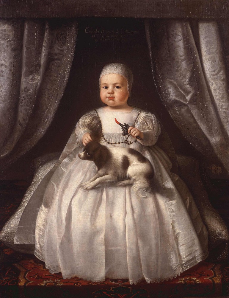
Charles II (29 May 1630 – 6 February 1685) was King of Scotland from 1649 until 1651, and King of England, Scotland and Ireland from the 1660 Restoration of the monarchy until his death in 1685. Charles II was the eldest surviving child of Charles I of England, Scotland and Ireland and Henrietta Maria of France. After Charles I's execution at Whitehall on 30 January 1649, at the climax of the English Civil War, the Parliament of Scotland proclaimed Charles II king on 5 February 1649. But England entered the period known as the English Interregnum or the English Commonwealth, and the country was a de facto republic led by Oliver Cromwell. Cromwell defeated Charles II at the Battle of Worcester on 3 September 1651, and Charles fled to mainland Europe. Cromwell became virtual dictator of England, Scotland and Ireland. Charles spent the next nine years in exile in France, the Dutch Republic and the Spanish Netherlands. The political crisis that followed Cromwell's death in 1 ... [...More Info...] [...Related Items...] OR: [Wikipedia] [Google] [Baidu] |
Kent
Kent is a county in South East England and one of the home counties. It borders Greater London to the north-west, Surrey to the west and East Sussex to the south-west, and Essex to the north across the estuary of the River Thames; it faces the French department of Pas-de-Calais across the Strait of Dover. The county town is Maidstone. It is the fifth most populous county in England, the most populous non-Metropolitan county and the most populous of the home counties. Kent was one of the first British territories to be settled by Germanic tribes, most notably the Jutes, following the withdrawal of the Romans. Canterbury Cathedral in Kent, the oldest cathedral in England, has been the seat of the Archbishops of Canterbury since the conversion of England to Christianity that began in the 6th century with Saint Augustine. Rochester Cathedral in Medway is England's second-oldest cathedral. Located between London and the Strait of Dover, which separates England from mainla ... [...More Info...] [...Related Items...] OR: [Wikipedia] [Google] [Baidu] |
Earl Of Lennox
The Earl or Mormaer of Lennox was the ruler of the region of the Lennox in western Scotland. It was first created in the 12th century for David of Scotland, Earl of Huntingdon and later held by the Stewart dynasty. Ancient earls The first earl recorded is Ailin I, sometimes called 'Alwin'. He is traditionally said to have been created Earl of Lennox by King Malcolm IV in 1154, but this is likely too early a date. [Note: Other sources say Arkil (Arkyll) was the first mormaer. He fled Northumberland for Scotland about 1070 and was made Mormaer of Levenax by Malcolm. That title was in the 12th century changed to earl of Lennox.] The earldom may in fact have been created in the late twelfth century by William I of Scotland, King William the Lion for his brother David, Earl of Huntingdon, David, and after David gained the higher title Earl of Huntingdon, he resigned the Earldom of Lennox and it passed to Ailin. Earl Ailin's parentage and background is unknown. His line continued a ... [...More Info...] [...Related Items...] OR: [Wikipedia] [Google] [Baidu] |
Edward II
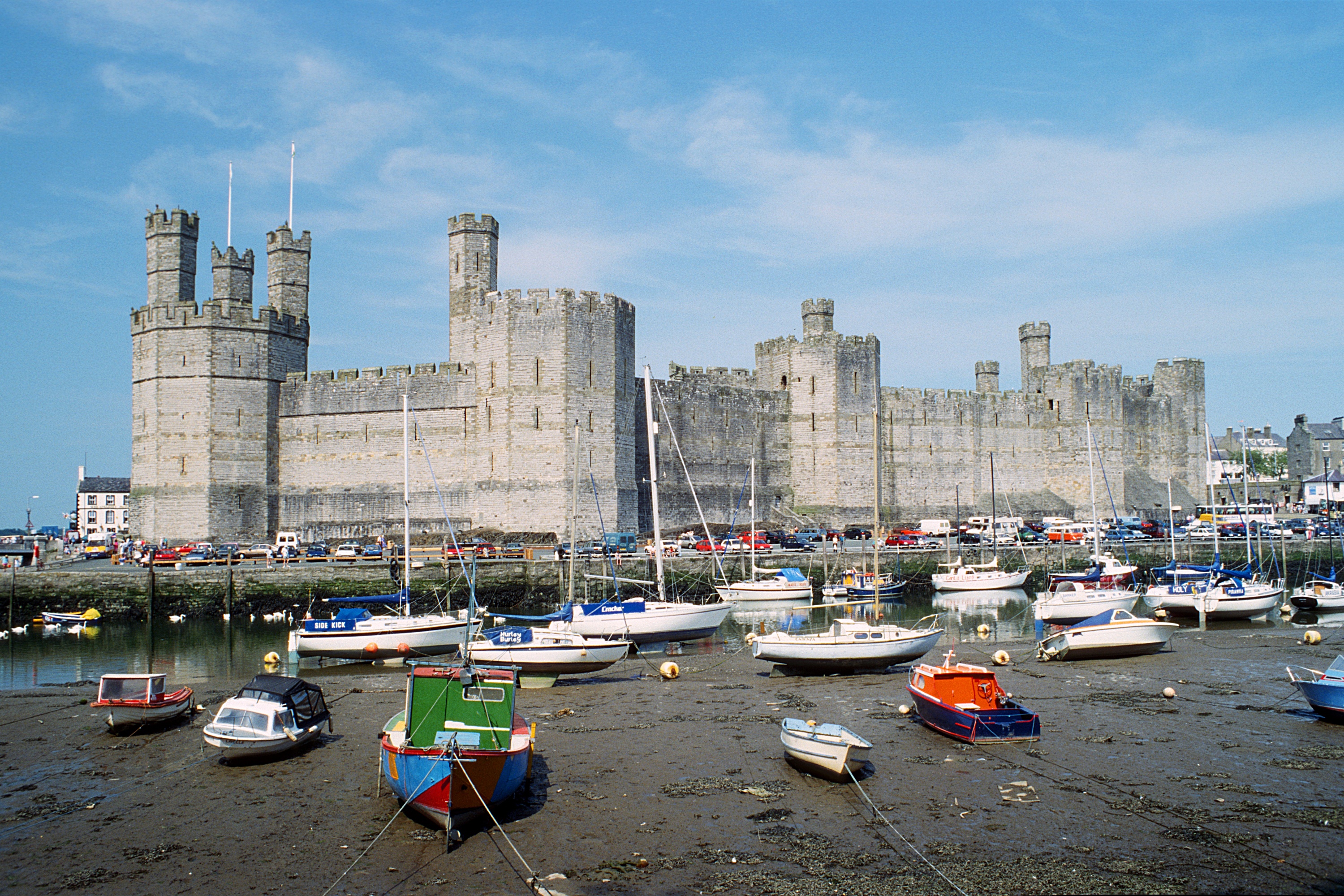
Edward II (25 April 1284 – 21 September 1327), also called Edward of Caernarfon, was King of England and Lord of Ireland from 1307 until he was deposed in January 1327. The fourth son of Edward I, Edward became the heir apparent to the throne following the death of his elder brother Alphonso. Beginning in 1300, Edward accompanied his father on invasions of Scotland. In 1306, he was knighted in a grand ceremony at Westminster Abbey. Following his father's death, Edward succeeded to the throne in 1307. He married Isabella, the daughter of the powerful King Philip IV of France, in 1308, as part of a long-running effort to resolve tensions between the English and French crowns. Edward had a close and controversial relationship with Piers Gaveston, who had joined his household in 1300. The precise nature of their relationship is uncertain; they may have been friends, lovers, or sworn brothers. Edward's relationship with Gaveston inspired Christopher Marlowe's 159 ... [...More Info...] [...Related Items...] OR: [Wikipedia] [Google] [Baidu] |
Henry III Of England
Henry III (1 October 1207 – 16 November 1272), also known as Henry of Winchester, was King of England, Lord of Ireland, and Duke of Aquitaine from 1216 until his death in 1272. The son of King John and Isabella of Angoulême, Henry assumed the throne when he was only nine in the middle of the First Barons' War. Cardinal Guala Bicchieri declared the war against the rebel barons to be a religious crusade and Henry's forces, led by William Marshal, defeated the rebels at the battles of Lincoln and Sandwich in 1217. Henry promised to abide by the Great Charter of 1225, a later version of the 1215 '' Magna Carta'', which limited royal power and protected the rights of the major barons. His early rule was dominated first by Hubert de Burgh and then Peter des Roches, who re-established royal authority after the war. In 1230, the King attempted to reconquer the provinces of France that had once belonged to his father, but the invasion was a debacle. A revolt led by William ... [...More Info...] [...Related Items...] OR: [Wikipedia] [Google] [Baidu] |
Fountains Abbey
Fountains Abbey is one of the largest and best preserved ruined Cistercian monasteries in England. It is located approximately south-west of Ripon in North Yorkshire, near to the village of Aldfield. Founded in 1132, the abbey operated for 407 years, becoming one of the wealthiest monasteries in England until its dissolution, by order of Henry VIII, in 1539. In 1983, Studley Royal Park including the ruins of Fountains Abbey was purchased by the National Trust. The abbey is maintained by English Heritage. Foundation After a dispute and riot in 1132 at the Benedictine house of St Mary's Abbey in York, 13 monks were expelled, among them Saint Robert of Newminster. They were taken under the protection of Thurstan, Archbishop of York, who provided them with land in the valley of the River Skell, a tributary of the Ure. The enclosed valley had all the natural features needed for the creation of a monastery, providing shelter from the weather, stone and timber for building, and ... [...More Info...] [...Related Items...] OR: [Wikipedia] [Google] [Baidu] |


.jpg)