|
Horndon-on-the-Hill
Horndon on the Hill is a village, former civil parish and Church of England parish in the unitary authority of Thurrock, in the county of Essex, England. It is located close to the A13, around one mile northwest of Stanford-le-Hope and around two miles northeast of Orsett. The village area falls within the Orsett ward of Thurrock District Council. In 2019 it had an estimated population of 1517. In 1931 the parish had a population of 1052. Horndon on the Hill has one church, the Church of St Peter and St Paul, which dates from the 13th century and is Grade I listed. It also has a primary school, a recreational park and two public houses, The Swan and The Bell. History Horndon-on-the-Hill appears in the Domesday Book of 1086 as ''Hornindune'', meaning "horn-shaped hill". It may have been the site of the 11th-century Horndon mint, based on the survival of a single Anglo-Saxon penny from the village. In the late 15th century, the lord of the manors of Arden Hall and Horndon Hous ... [...More Info...] [...Related Items...] OR: [Wikipedia] [Google] [Baidu] |
Phil Vincent
Philip Conrad Vincent (14 March 1908 – 27 March 1979) was a British motorcycle designer and manufacturer. Founder of Vincent Motorcycles, his designs influenced the development of motorcycles around the world. Early life Philip Conrad Vincent was born in Wilbraham Gardens, Fulham on 14 March 1908. His mother, Ada Vincent, travelled back from Argentina to have her children in order to secure British citizenship. The family owned a cattle ranch between Monte Buey and Monte Maize, in the province of Córdoba, Argentina. His education began at St. George's, a British Preparatory School in Quilmes, a suburb of Buenos Aires. He was sent back to England to live with his uncle, John Vincent, who was a veterinary surgeon and lived at High House, Horndon on the Hill, Essex. Philip's education was continued there together with his two sisters, Gwendoline & Marjorie, a cousin and four other local children. He spent a year at Downsend Preparatory School, Leatherhead. He was then accept ... [...More Info...] [...Related Items...] OR: [Wikipedia] [Google] [Baidu] |
Thurrock
Thurrock () is a unitary authority area with borough status and unparished area in the ceremonial county of Essex, England. It is part of the London commuter belt and an area of regeneration within the Thames Gateway redevelopment zone. The local authority is Thurrock Council. The borough It lies on the River Thames just to the east of London. With over of riverfront it covers an area of , with more than half defined as Green Belt. With Greater London to the west and the river to the south, the county of Essex abuts the Borough to the north and east, and across the river lies Kent. Politics The local authority is Thurrock Council. Elections are held 3 out of every 5 years. In 2021, the Conservative Party took overall control of the council, having been a minority-party administration since 2016. Thurrock is covered by two parliamentary constituencies. Thurrock includes most of the borough while South Basildon and East Thurrock includes some wards in the east of the borough ... [...More Info...] [...Related Items...] OR: [Wikipedia] [Google] [Baidu] |
A13 Road (England)
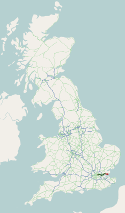
The A13 is a major road in England linking Central London with east London and south Essex. Its route is similar to that of the London, Tilbury and Southend line via Rainham, Grays, Tilbury & Stanford-Le-Hope, and runs the entire length of the northern Thames Gateway area, terminating on the Thames Estuary at Shoeburyness. It is a trunk road between London and the Tilbury junction, a primary route between there and Sadlers Hall Farm near South Benfleet, and a non-primary route between there and Shoeburyness. Route London The A13 used to start at Aldgate Pump; but now begins at the junction with the A11 at what used to be the Aldgate one way system in east London and heads eastwards through the boroughs of Tower Hamlets, Newham, Barking & Dagenham and Havering before reaching the Greater London boundary. Commercial Road and East India Dock Road At the cental London end, Commercial Road and East India Dock Road form one of two main arteries through the historic East End (th ... [...More Info...] [...Related Items...] OR: [Wikipedia] [Google] [Baidu] |
Barstable Hundred
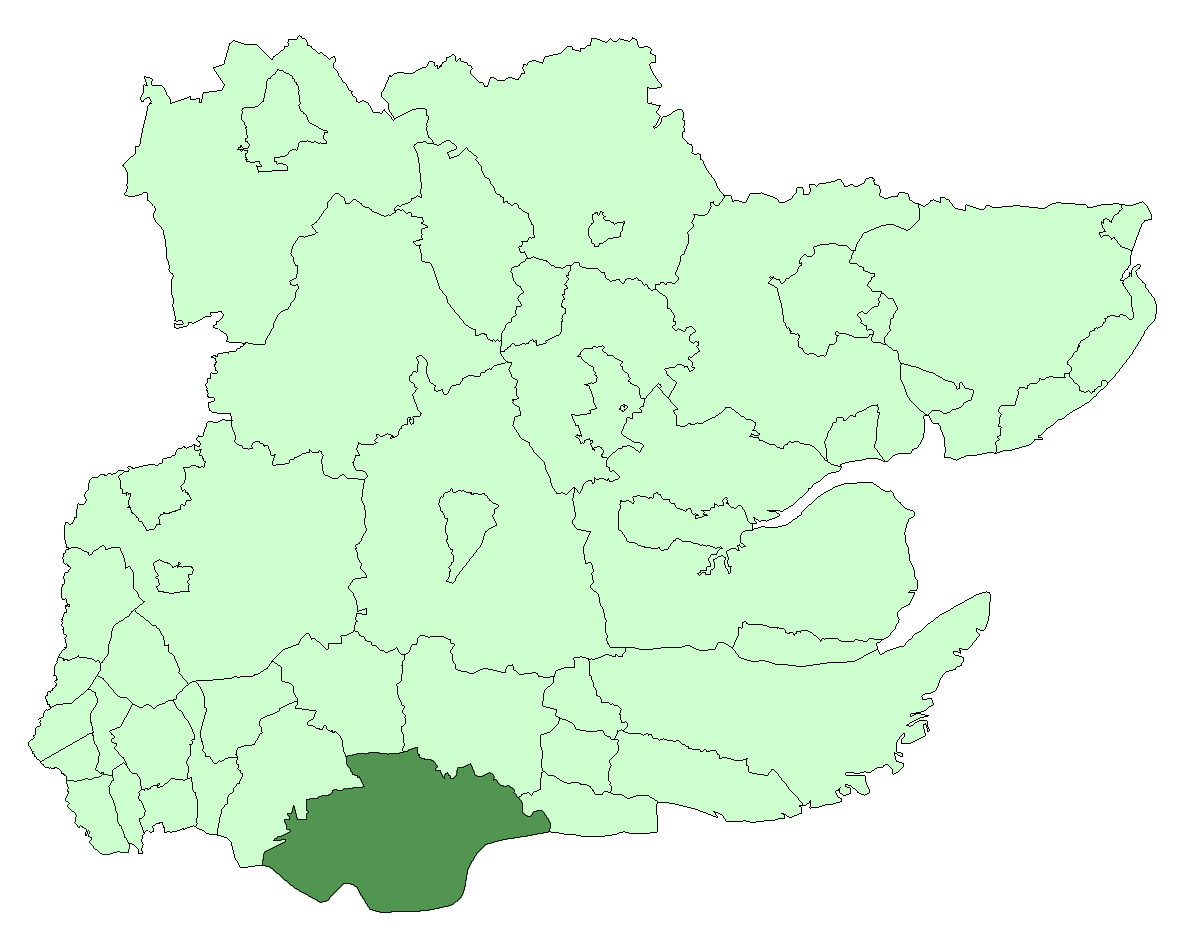
Barstable was a Hundred in the English County of Essex. Both the hundred and the manor with the same name are mentioned in the Domesday Book of 1086. A number of parishes in the western part of the Barstable hundred are now in Thurrock. Location Barstable is bordered on the east by Rochford hundred; on the north by Chelmsford hundred; on the north-west by the Ongar hundred; on the west by Chafford hundred (with the boundary in part following the Mardyke) and on the south by the river Thames. The parish boundary between Grays Thurrock and Little Thurrock is also the hundred boundary between Barstable and Chafford. The interlocking boundary between these parishes suggests the existence of a common pasture originally shared, prior to the establishment of the hundred boundary. Name The name of the hundred was normally that of its meeting-place. Barstaple hundred takes its name from a location or settlement that is now in Basildon new town. This is mentioned as the manor of Barstable ... [...More Info...] [...Related Items...] OR: [Wikipedia] [Google] [Baidu] |
John Tusa
Sir John Tusa (born 2 March 1936) is a British arts administrator, and radio and television journalist. He is co-chairman of the European Union Youth Orchestra from 2014. chairman, British Architecture Trust Board, RIBA, from 2014. From 1980 to 1986, he was a main presenter of BBC 2's ''Newsnight'' programme. From 1986 to 1993, he was managing director of the BBC World Service. From 1995 to 2007, he was managing director of the City of London's Barbican Arts Centre. Early life Born in Zlín, Czechoslovakia, in March 1936, Tusa moved to England with his family in 1939. His father, also John Tusa (Jan Tůša), was managing director of British Bata Shoes, established by the Czechoslovak shoe company, which, following its international pattern, also created a pioneering work-living community around its factory in East Tilbury, Essex. Two days before the German occupation of Czechoslovakia on 15 March 1939, Tusa senior flew out of Czechoslovakia on a Bata company plane, via Poland, Yu ... [...More Info...] [...Related Items...] OR: [Wikipedia] [Google] [Baidu] |
List Of Church Of England Churches In Thurrock ...
Thurrock contains 17 parish churches for traditional Church of England parishes that were in existence before 1850. There are a further five parishes, parts of which are within Thurrock, but for which the parish church lies outside the Thurrock unitary authority. During the 19th and 20th centuries, reorganisation created new parishes and churches whilst other parishes were amalgamated and buildings made redundant. References {{DEFAULTSORT:Church Of England Churches In Thurrock, List Of Thurrock Thurrock () is a unitary authority area with borough status and unparished area in the ceremonial county of Essex, England. It is part of the London commuter belt and an area of regeneration within the Thames Gateway redevelopment zone. The ... [...More Info...] [...Related Items...] OR: [Wikipedia] [Google] [Baidu] |
Thurrock Urban District
Thurrock was a local government district and civil parish in south Essex, England from 1936 to 1974. The parish and urban district was formed from the former area of the following civil parishes which had been abolished in 1936: *From Grays Thurrock Urban District: **Grays Thurrock *From Orsett Rural District: **Bulphan ** Corringham **East Tilbury **Fobbing **Horndon-on-the-Hill **Langdon Hills **Little Thurrock **Mucking **North Ockendon (part) **Orsett ** Stanford-le-Hope **Stifford **West Tilbury *From Purfleet Urban District: **Aveley **South Ockendon **West Thurrock *From Tilbury Urban District: **Chadwell St Mary The district was enlarged in 1938 by gaining part of the former Little Burstead parish from Billericay Urban District. The district was abolished in 1974. The part within Basildon New Town became part of Basildon District, while the remainder became the present-day Borough of Thurrock. It has since become a unitary authority A unitary authority is a loca ... [...More Info...] [...Related Items...] OR: [Wikipedia] [Google] [Baidu] |
Orsett
Orsett is a village, former civil parish and ecclesiastical parish located within Thurrock unitary district in Essex, England, situated around 5 km north-east of Grays. In 1931 the parish had a population of 1771. History It has historically been a primarily agricultural community situated at the southern edge of the old ice age flood plain traversed by the river Mardyke. Orsett contains a ring and bailey earthwork known locally as Bishop Bonner's palace; so called as it was the residence of the Bishops of London, including Bishop Edmund Bonner from 1553 to 1559. On the gravel terrace, there is a neolithic causewayed enclosure discovered as a result of crop marks which showed on aerial photographs taken by Dr St Joseph of Cambridge University. It has three concentric ditches with a number of breaks or causeways. The enclosure was used as a burial ground by the Saxons and contained at least three barrows visible on the aerial photo. On the junction of Pound Lane and H ... [...More Info...] [...Related Items...] OR: [Wikipedia] [Google] [Baidu] |
Orsett Rural District
Orsett Rural District was the local government district centred on Orsett in south Essex, England from 1894 to 1936; a little of its far west is in modern Greater London. Likewise in modern terms the area is mostly east of the M25 motorway and north of the Thames Estuary. It was formed in 1894. Housing quite few residents, it gradually fell from 62.4 to 49.6 square miles. Its notable omission was Grays or Great Thurrock; Thurrock was the main successor district. From 1835 until 1894, its parishes fell in the Orsett Poor Law Union (see the Poor Law Amendment Act 1834). For sewerage purposes from 1875 (with Grays Thurrock until 1886) they formed the Orsett Rural Sanitary District, and during the latter's currency the divorce of civil parishes in England from ecclesiastical parishes finalised nationally. Coverage The district comprised the parishes of: *Aveley (until 1929)2 *Bulphan *Chadwell St Mary (until 1912)1 * Corringham *East Tilbury *Fobbing *Horndon-on-the-Hill *Langdon H ... [...More Info...] [...Related Items...] OR: [Wikipedia] [Google] [Baidu] |
Hundreds Of Essex
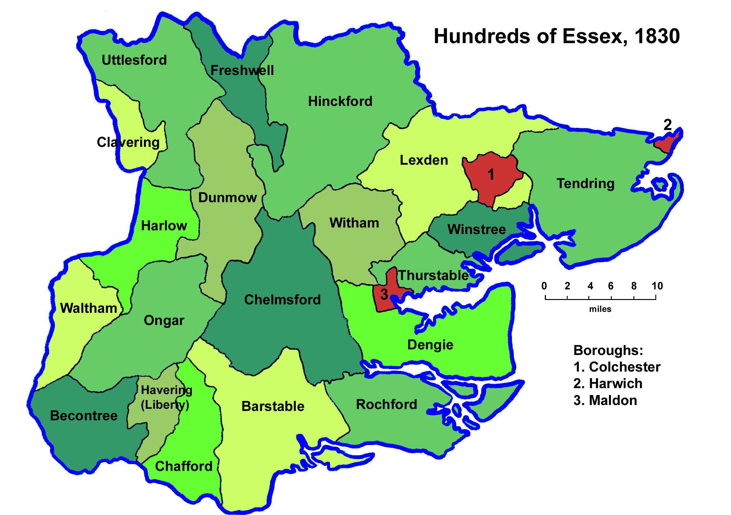
Between Anglo-Saxon times and the nineteenth century the English county of Essex was divided for administrative purposes into 19 hundreds, plus the Liberty of Havering-atte-Bower and the boroughs of Colchester, Harwich, and Maldon. Each hundred had a separate council that met each month to rule on local judicial and taxation matters. Essex probably originated as a shire in the time of Æthelstan. The Domesday Survey listed nineteen hundreds, corresponding very closely in extent and in name with those that were in use until early in the twentieth century. The additional half-hundred of Thunreslan on the border with Suffolk no longer exists, and the hundred of Witbrictesherna was renamed Dengie. The liberty of Havering-atte-Bower was formed from land taken from Becontree hundred. Parishes At the start of the 19th century, the hundreds contained the following parishes: References See also *History of Essex *List of hundreds of England and Wales {{DEFAULTSORT:Hundreds Of Essex ... [...More Info...] [...Related Items...] OR: [Wikipedia] [Google] [Baidu] |
Horndon Mint
The Horndon mint was an Anglo-Saxon mint established at Horndon-on-the-Hill in Thurrock, Essex. It is known from a single coin of the reign of Edward the Confessor. The only surviving example of a coin from the Horndon mint was among the hoard of coins found in the 18th century in a basement near St Mary Hill church, in the ward of Billingsgate, London, England. The coin is described as being of the sovereign/martlet type, with the head of the sovereign and a martlet mint mark; it was minted between 1056 and 1059. It bears the inscription ''Dudinc on Hornidune'' on the reverse. Hornidune is the earliest recorded form of Horndon, which appears in Domesday as Horniduna. The moneyer, Dudinc, has the same name as someone striking coins in London for Harold Harefoot and Edward the Confessor. There is an "almost inescapable" conclusion that they were the same man. From the reign of King Edgar onwards many mints were established to meet the need for new coins when the older ones were w ... [...More Info...] [...Related Items...] OR: [Wikipedia] [Google] [Baidu] |
Conservation Area
Protected areas or conservation areas are locations which receive protection because of their recognized natural, ecological or cultural values. There are several kinds of protected areas, which vary by level of protection depending on the enabling laws of each country or the regulations of the international organizations involved. Generally speaking though, protected areas are understood to be those in which human presence or at least the exploitation of natural resources (e.g. firewood, non-timber forest products, water, ...) is limited. The term "protected area" also includes marine protected areas, the boundaries of which will include some area of ocean, and transboundary protected areas that overlap multiple countries which remove the borders inside the area for conservation and economic purposes. There are over 161,000 protected areas in the world (as of October 2010) with more added daily, representing between 10 and 15 percent of the world's land surface area. As of 20 ... [...More Info...] [...Related Items...] OR: [Wikipedia] [Google] [Baidu] |


