|
Holden Beach Bridge
The Holden Beach Bridge carries NC 130 across the Atlantic Intracoastal Waterway (ICW), connecting the town of Holden Beach to the mainland. The structure, built under contract to the North Carolina Department of Transportation, consists of 20 approach spans of Type III and IV prestressed concrete AASHTO girders and 3 channel spans of prestressed, precast box girders. History Before the construction of the ICW in the late 1930s, Holden Beach residents got to the mainland via a log bridge. Ferry service began after the ICW was completed and lasted up till 1954. At that time the beach town was developing so fast the ferry could not handle the traffic during the summer months, especially on weekends. Sometimes cars would be backed up to the beach and then down Ocean Boulevard up to a quarter of a mile waiting for the ferry. In 1953, a swing bridge started to be constructed about 1/2 mile west of the ferry landing, one which was built well enough to survive the onslaught of Hu ... [...More Info...] [...Related Items...] OR: [Wikipedia] [Google] [Baidu] |
Holden Beach, North Carolina
Holden Beach is a seaside town in Brunswick County, North Carolina. The population was 575 at the time of the 2010 census. It is part of the Myrtle Beach metropolitan area. Geography Holden Beach is located in southern Brunswick County . The town occupies an barrier island on the Atlantic Ocean, bounded by Shallotte Inlet to the west, Lockwoods Folly Inlet to the east, and the Intracoastal Waterway to the north. One road, North Carolina Highway 130, crosses the Intracoastal Waterway to connect Holden Beach with the mainland. Via NC 130, it is northwest to the town of Shallotte. According to the United States Census Bureau, the town of Holden Beach has a total area of , of which is land and (20.72%) is water. History Before the American Revolution, early settlers seeking land near Lockwood's Folly River applied for patents and received warrants for surveys of selected tracts. Upon payment of fifty shillings for each , the warrantee could receive a permanent grant for Royal Go ... [...More Info...] [...Related Items...] OR: [Wikipedia] [Google] [Baidu] |
North Carolina Highway 130
North Carolina Highway 130 (NC 130) is a primary state highway in the U.S. state of North Carolina. The highway serves the towns and rural communities in southern Robeson County, acts as a direct route between Whiteville and Shallotte through the Green Swamp, and provides access to Holden Beach. Route description NC Highway 130 begins at U.S. Route 74 Business (US 74 Bus.) and NC 71 in Maxton and ends at Ocean Boulevard in Holden Beach. It overlaps several highways along its route, including US 501, US 74 (proposed Interstate 74), US 76, NC 410 and US 17 Bus. History NC 130 was established around 1928 as a renumbering of part of NC 201 between NC 30 in Supply, to the intersection of Moore Street and Atlantic Avenue in Southport. In 1930, NC 130 was extended west along NC 30 to Shallotte, then northwest along new primary routing to NC 23 near Whiteville. In 1940, NC 130 made its final westward extension, by overlapping wi ... [...More Info...] [...Related Items...] OR: [Wikipedia] [Google] [Baidu] |
Atlantic Intracoastal Waterway
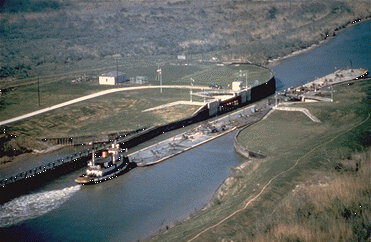
The Intracoastal Waterway (ICW) is a inland waterway along the Atlantic and Gulf of Mexico coasts of the United States, running from Massachusetts southward along the Atlantic Seaboard and around the southern tip of Florida, then following the Gulf Coast to Brownsville, Texas. Some sections of the waterway consist of natural inlets, saltwater rivers, bays, and sounds, while others are artificial canals. It provides a navigable route along its length without many of the hazards of travel on the open sea. Context and early history Since the coastline represented the national border, and commerce of the time was chiefly by water, the fledgling United States government established a degree of national control over it. Inland transportation to supply the coasting trade at the time was less known and virtually undeveloped, but when new lands and their favorable river systems were added with the Northwest Territory in 1787, the Northwest Ordinance established a radically new and fr ... [...More Info...] [...Related Items...] OR: [Wikipedia] [Google] [Baidu] |
North Carolina Department Of Transportation
The North Carolina Department of Transportation (NCDOT) is responsible for building, repairing, and operating highways, bridges, and other modes of transportation, including ferries in the U.S. state of North Carolina. History The North Carolina Department of Transportation was formed in 1915 as the State Highway Commission. In 1941 the Department of Motor Vehicles (DMV) was formed under the NCDoT by an act of the North Carolina General Assembly, General Assembly. The Executive Organization Act of 1971 combined the state highway commission and the DMV to form the NC Department of Transportation and Highway Safety. In 1979 "Highway Safety" was dropped when the North Carolina State Highway Patrol (NCSHP) was transferred to the North Carolina Department of Crime Control and Public Safety. Board of Transportation The board governs the department and is the decision-making body. Fourteen board members are appointed by the governor, one each from one of the fourteen divisions, and six o ... [...More Info...] [...Related Items...] OR: [Wikipedia] [Google] [Baidu] |
Intracoastal Waterway
The Intracoastal Waterway (ICW) is a inland waterway along the Atlantic and Gulf of Mexico coasts of the United States, running from Massachusetts southward along the Atlantic Seaboard and around the southern tip of Florida, then following the Gulf Coast to Brownsville, Texas. Some sections of the waterway consist of natural inlets, saltwater rivers, bays, and sounds, while others are artificial canals. It provides a navigable route along its length without many of the hazards of travel on the open sea. Context and early history Since the coastline represented the national border, and commerce of the time was chiefly by water, the fledgling United States government established a degree of national control over it. Inland transportation to supply the coasting trade at the time was less known and virtually undeveloped, but when new lands and their favorable river systems were added with the Northwest Territory in 1787, the Northwest Ordinance established a radically new and f ... [...More Info...] [...Related Items...] OR: [Wikipedia] [Google] [Baidu] |
Holden Beach
Holden Beach is a seaside town in Brunswick County, North Carolina. The population was 575 at the time of the 2010 census. It is part of the Myrtle Beach metropolitan area. Geography Holden Beach is located in southern Brunswick County . The town occupies an barrier island on the Atlantic Ocean, bounded by Shallotte Inlet to the west, Lockwoods Folly Inlet to the east, and the Intracoastal Waterway to the north. One road, North Carolina Highway 130, crosses the Intracoastal Waterway to connect Holden Beach with the mainland. Via NC 130, it is northwest to the town of Shallotte. According to the United States Census Bureau, the town of Holden Beach has a total area of , of which is land and (20.72%) is water. History Before the American Revolution, early settlers seeking land near Lockwood's Folly River applied for patents and received warrants for surveys of selected tracts. Upon payment of fifty shillings for each , the warrantee could receive a permanent grant for Ro ... [...More Info...] [...Related Items...] OR: [Wikipedia] [Google] [Baidu] |
Hurricane Hazel
Hurricane Hazel was the deadliest, second costliest, and most intense hurricane of the 1954 Atlantic hurricane season. The storm killed at least 469 people in Haiti before striking the United States near the border between North and South Carolina as a Category 4 hurricane. After causing 95 fatalities in the US, Hazel struck Canada as an extratropical storm, raising the death toll by 81 people, mostly in Toronto. As a result of the high death toll and the damage caused by Hazel, its name was retired from use for North Atlantic hurricanes. In Haiti, Hazel destroyed 40 percent of the coffee trees and 50 percent of the cacao crop, affecting the economy for several years. The hurricane made landfall near Calabash, North Carolina, destroying most waterfront dwellings. It then traveled north along the Atlantic coast. Hazel affected Virginia, Washington, D.C., West Virginia, Maryland, Delaware, New Jersey, Pennsylvania, and New York; it brought gusts near and caused ... [...More Info...] [...Related Items...] OR: [Wikipedia] [Google] [Baidu] |
URS Corporation
URS Corporation (formerly United Research Services) was an engineering, design, and construction firm and a U.S. federal government contractor. Headquartered in San Francisco, California, URS was a full-service, global organization with offices located in the Americas, Europe, Africa, and Asia-Pacific. URS was acquired by AECOM on October 17, 2014. History URS Corporation’s oldest predecessor company was founded in 1904. URS was established in 1951 and incorporated in 1957 as Broadview Research – a research group active in the area of physical and engineering sciences. In 1967, management developed a growth strategy focused on building a multidisciplinary professional services firm. In 1968, Broadview Research acquired United Research Incorporated of Cambridge, Massachusetts. During this period, the name Broadview Research was changed to United Research Services and later shortened to URS. URS was publicly traded as from January 13, 1978 through its acquisition by AECOM ... [...More Info...] [...Related Items...] OR: [Wikipedia] [Google] [Baidu] |
Raleigh, North Carolina
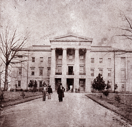
Raleigh (; ) is the capital city of the state of North Carolina and the List of North Carolina county seats, seat of Wake County, North Carolina, Wake County in the United States. It is the List of municipalities in North Carolina, second-most populous city in North Carolina, after Charlotte, North Carolina, Charlotte. Raleigh is the tenth-most populous city in the Southeastern United States, Southeast, List of United States cities by population, the 41st-most populous city in the U.S., and the largest city of the Research Triangle metro area. Raleigh is known as the "City of Oaks" for its many oak, oak trees, which line the streets in the heart of the city. The city covers a land area of . The United States Census Bureau, U.S. Census Bureau counted the city's population as 474,069 in the 2020 United States census, 2020 census. It is one of the fastest-growing cities in the United States. The city of Raleigh is named after Sir Walter Raleigh, who established the lost Roanoke Co ... [...More Info...] [...Related Items...] OR: [Wikipedia] [Google] [Baidu] |
AECOM
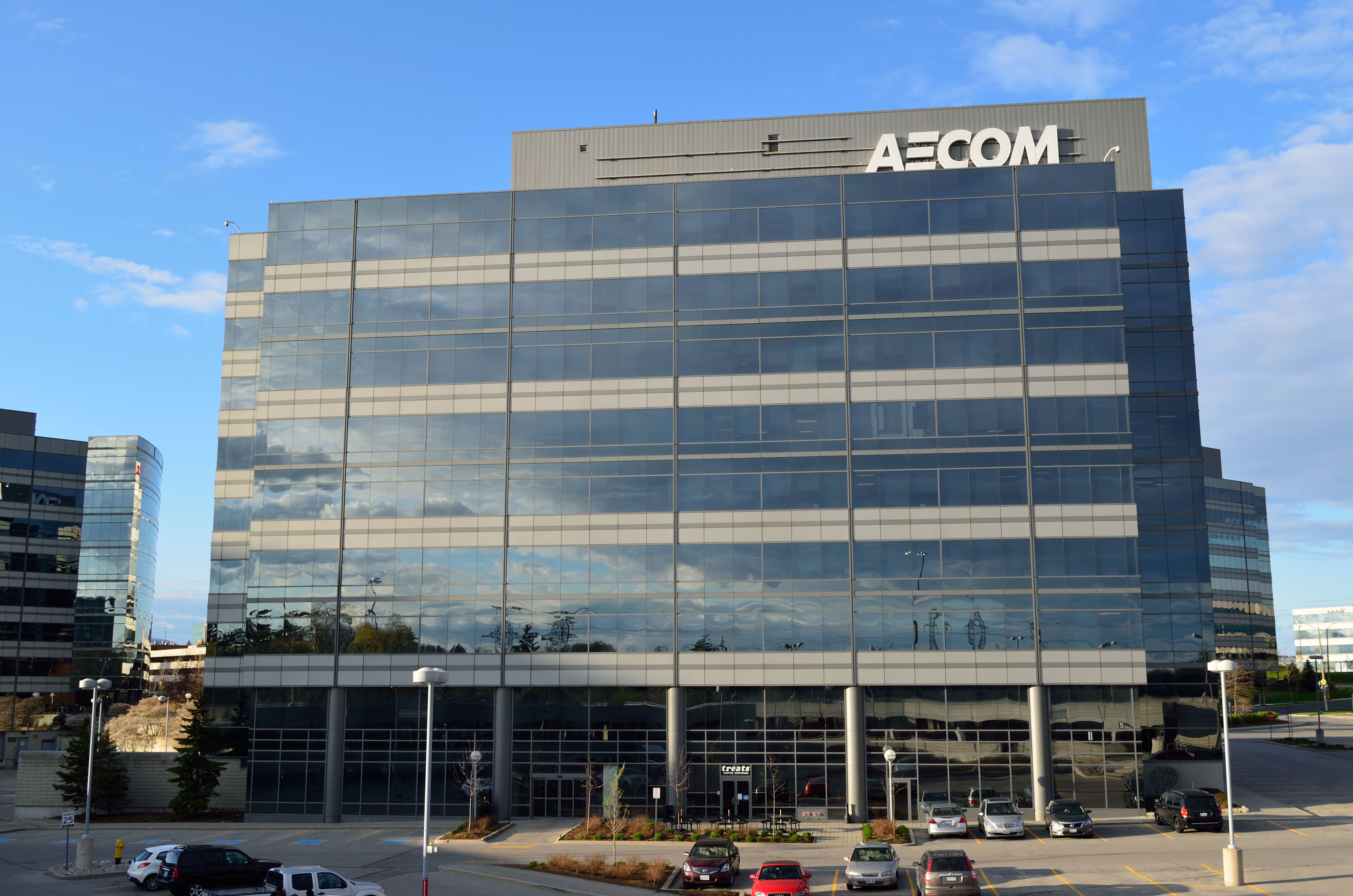
AECOM (, ; formerly AECOM Technology Corporation) is an American multinational infrastructure consulting firm. AECOM has approximately 51,000 employees, and is number 157 on the 2019 Fortune 500 list. The company's official name from 1990 to 2015 was AECOM Technology Corporation, and is now AECOM. The company is listed on the New York Stock Exchange (NYSE) under the ticker symbol ACM and on the Frankfurt Stock Exchange under the ticker symbol E6Z. In August 2021, AECOM announced plans to relocate its global headquarters from Los Angeles, California to Dallas, Texas. History AECOM traces its origins to Kentucky-based Ashland Oil & Refining Company, which in turn grew out of Swiss Drilling Company, founded in Oklahoma in 1910 by J. Fred Miles. He gained control of some 200,000 acres and formed Swiss Oil Company in Lexington. In 1924, Miles launched a refining operation called Ashland Refining Company, headed by Paul Blazer. While the parent company struggled, leading to t ... [...More Info...] [...Related Items...] OR: [Wikipedia] [Google] [Baidu] |
Geometric Design Of Roads
The geometric design of roads is the branch of highway engineering concerned with the positioning of the physical elements of the roadway according to standards and constraints. The basic objectives in geometric design are to optimize efficiency and safety while minimizing cost and environmental damage. Geometric design also affects an emerging fifth objective called "livability," which is defined as designing roads to foster broader community goals, including providing access to employment, schools, businesses and residences, accommodate a range of travel modes such as walking, bicycling, transit, and automobiles, and minimizing fuel use, emissions and environmental damage. Geometric roadway design can be broken into three main parts: alignment, profile, and cross-section. Combined, they provide a three-dimensional layout for a roadway. The alignment is the route of the road, defined as a series of horizontal tangents and curves. The profile is the vertical aspect of the ro ... [...More Info...] [...Related Items...] OR: [Wikipedia] [Google] [Baidu] |


