|
Hobartville, New South Wales
Hobartville is a suburb of Richmond, in the state of New South Wales, Australia. Hobartville was originally a horse stud and was subdivided in the 1960s with the first houses built in 1969. Hobartville Public School was opened in 1971 and the Hobartville Shopping Centre was opened in 1978. Population At the 2016 census Sixteen or 16 may refer to: *16 (number), the natural number following 15 and preceding 17 *one of the years 16 BC, AD 16, 1916, 2016 Films * ''Pathinaaru'' or ''Sixteen'', a 2010 Tamil film * ''Sixteen'' (1943 film), a 1943 Argentine film dir ..., there were 2744 residents in Hobartville. More than 80% of people were born in Australia and the most common ancestries were English, Australian, and Irish. The top responses for religious affiliation were No Religion 26.0%, Anglican 24.2%, and Catholic 21.7%. Almost all dwellings were detached houses and most of these had 3 or more bedrooms. The median monthly mortgage payment was $1890 which was higher than th ... [...More Info...] [...Related Items...] OR: [Wikipedia] [Google] [Baidu] |
City Of Hawkesbury
The City of Hawkesbury is a local government area of New South Wales, Australia, part of which is at the fringe of the Sydney metropolitan area, about north-west of the Sydney central business district. Hawkesbury City is named after the Hawkesbury River. The Mayor of the City of Hawkesbury is Cr. Sarah McMahon, a member of the Liberal Party. Suburbs and localities Suburbs and localities in the City of Hawkesbury are: History The original inhabitants of the Hawkesbury district were the Darug tribe of Aboriginals, also spelt as Dharug or Daruk. The river, which they called Derrubbin, was a focal point as a source of food and transport. The Darug people used the river to farm for fish, eels, water birds, and mussels. They also used the river as a mode of transport in bark canoes. It was first settled by Europeans in 1794 in a bid to acquire arable land to feed the increasing population of the penal colony at Sydney. In April 1794, Lieutenant Governor Francis Grose submitt ... [...More Info...] [...Related Items...] OR: [Wikipedia] [Google] [Baidu] |
Electoral District Of Hawkesbury
Hawkesbury is an electoral district of the Legislative Assembly in the Australian state of New South Wales. It is represented by Robyn Preston of the Liberal Party. It includes all of the City of Hawkesbury and the far north of both the Hills Shire and Hornsby Shire, including the suburbs and towns of Berambing, Berowra Creek, Bilpin, Blaxlands Ridge, Bligh Park, Bowen Mountain, Canoelands, Cattai, Central Colo, Central Macdonald, Clarendon, Colo, Colo Heights, Cornwallis, Cumberland Reach, East Kurrajong, Ebenezer, Fernances, Forest Glen, Freemans Reach, Glenorie, Glossodia, Grose Vale, Grose Wold, Higher Macdonald, Hobartville, Kenthurst, Kurmond, Kurrajong, Kurrajong Heights, Kurrajong Hills, Laughtondale, Leets Vale, Lower Hawkesbury, Lower Macdonald, Lower Portland, Maraylya, Maroota, Mcgraths Hill, Mellong, Middle Dural, Mogo Creek, Mountain Lagoon, Mulgrave, North Richmond, Oakville, Perrys Crossing, Pitt Town, Pitt Town Bottoms, Rich ... [...More Info...] [...Related Items...] OR: [Wikipedia] [Google] [Baidu] |
Division Of Macquarie
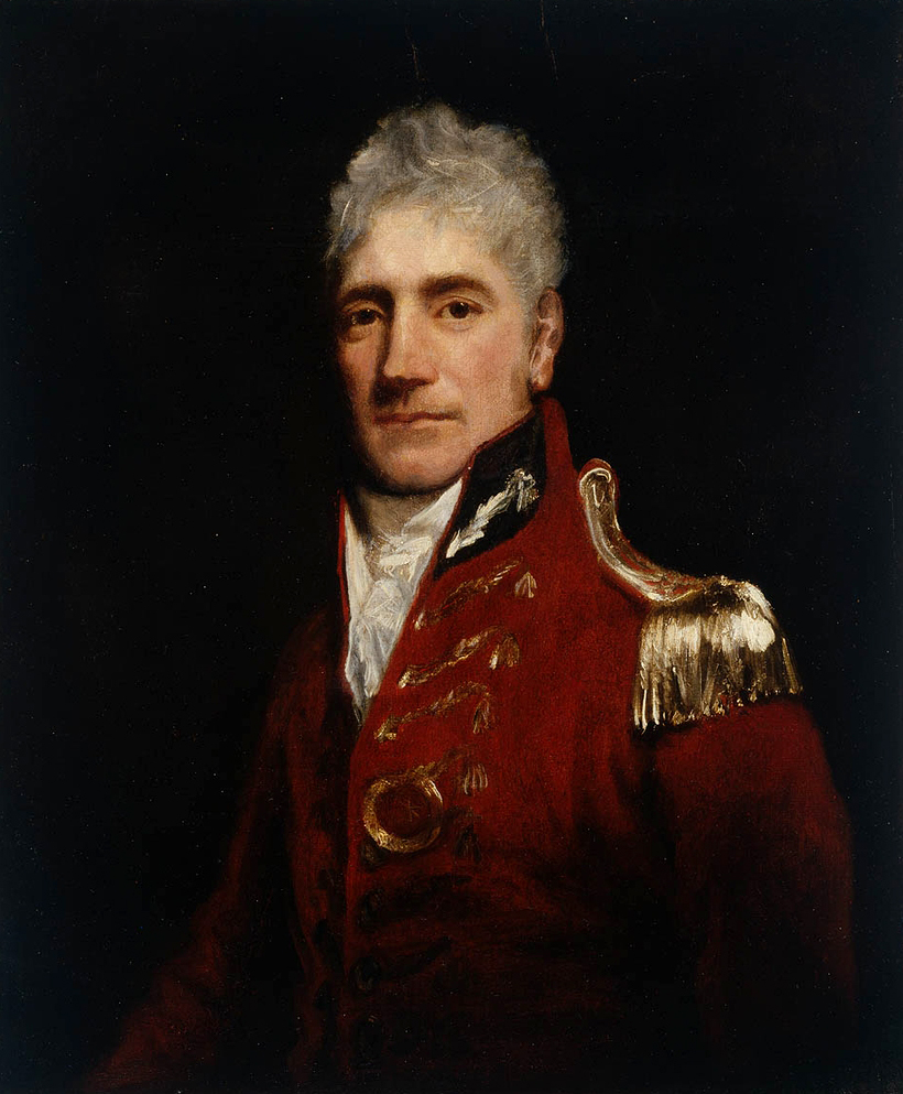
The Division of Macquarie is an Australian electoral division in the state of New South Wales. The division was created in 1900 and was one of the original 65 divisions contested at the first federal election. It is named for Lachlan Macquarie, who was Governor of New South Wales between 1810 and 1821. The division is located to the west of Sydney, and today it covers a large part of the Blue Mountains, as well as the Hawkesbury region on Sydney's western fringe. The current Member for Macquarie, since the 2016 federal election, is Susan Templeman, a member of the Australian Labor Party. In 2019, Macquarie was the most marginal seat in the country, held by a 0.19% margin on the 2PP. However, in 2022 the Labor margin expanded to a comfortable 7.6%. Geography Since 1984, federal electoral division boundaries in Australia have been determined at redistributions by a redistribution committee appointed by the Australian Electoral Commission. Redistributions occur for the b ... [...More Info...] [...Related Items...] OR: [Wikipedia] [Google] [Baidu] |
Richmond, New South Wales
Richmond is a town in New South Wales, in the local government area of the City of Hawkesbury. It is located 19 metres above sea level on the alluvial Hawkesbury River flats, at the foot of the Blue Mountains on the Cumberland Plain. It is about 65 km by road from Sydney and about 78 km by road from Lithgow. History The Darug people were the Aboriginal peoples to the area in 1788. The area was originally explored by British settlers in 1789 and the nearby eminence to the west of the Hawkesbury River was known by them as 'Richmond Hill'. The name was given by Governor Arthur Phillip, in honour of Charles Lennox, the third Duke of Richmond who was Master General of Ordnance in the Pitt administration. The local area was the third area to have European settlement in Australia after Sydney and Parramatta. The first 22 European settlers came to the area in 1794. They came to farm a total of in what is now Pitt Town Bottoms. They needed good farming land to help overcome ... [...More Info...] [...Related Items...] OR: [Wikipedia] [Google] [Baidu] |
Suburb
A suburb (more broadly suburban area) is an area within a metropolitan area, which may include commercial and mixed-use, that is primarily a residential area. A suburb can exist either as part of a larger city/urban area or as a separate political entity. The name describes an area which is not as densely populated as an inner city, yet more densely populated than a rural area in the countryside. In many metropolitan areas, suburbs exist as separate residential communities within commuting distance of a city (cf "bedroom suburb".) Suburbs can have their own political or legal jurisdiction, especially in the United States, but this is not always the case, especially in the United Kingdom, where most suburbs are located within the administrative boundaries of cities. In most English-speaking countries, suburban areas are defined in contrast to central or inner city areas, but in Australian English and South African English, ''suburb'' has become largely synonymous with what ... [...More Info...] [...Related Items...] OR: [Wikipedia] [Google] [Baidu] |
New South Wales
) , nickname = , image_map = New South Wales in Australia.svg , map_caption = Location of New South Wales in AustraliaCoordinates: , subdivision_type = Country , subdivision_name = Australia , established_title = Before federation , established_date = Colony of New South Wales , established_title2 = Establishment , established_date2 = 26 January 1788 , established_title3 = Responsible government , established_date3 = 6 June 1856 , established_title4 = Federation , established_date4 = 1 January 1901 , named_for = Wales , demonym = , capital = Sydney , largest_city = capital , coordinates = , admin_center = 128 local government areas , admin_center_type = Administration , leader_title1 = Monarch , leader_name1 = Charles III , leader_title2 = Governor , leader_name2 = Margaret Beazley , leader_title3 = Premier , leader_name3 = Dominic Perrottet (Liberal) , national_representation = Parliament of Australia , national_representation_type1 = Senat ... [...More Info...] [...Related Items...] OR: [Wikipedia] [Google] [Baidu] |
Australia
Australia, officially the Commonwealth of Australia, is a Sovereign state, sovereign country comprising the mainland of the Australia (continent), Australian continent, the island of Tasmania, and numerous List of islands of Australia, smaller islands. With an area of , Australia is the largest country by area in Oceania and the world's List of countries and dependencies by area, sixth-largest country. Australia is the oldest, flattest, and driest inhabited continent, with the least fertile soils. It is a Megadiverse countries, megadiverse country, and its size gives it a wide variety of landscapes and climates, with Deserts of Australia, deserts in the centre, tropical Forests of Australia, rainforests in the north-east, and List of mountains in Australia, mountain ranges in the south-east. The ancestors of Aboriginal Australians began arriving from south east Asia approximately Early human migrations#Nearby Oceania, 65,000 years ago, during the Last Glacial Period, last i ... [...More Info...] [...Related Items...] OR: [Wikipedia] [Google] [Baidu] |
Hobartville Public School
Hobartville is a heritage-listed farm and residence at Kurrajong Road, Richmond, City of Hawkesbury, New South Wales, Australia. It was added to the New South Wales State Heritage Register on 2 April 1999. History Hobartville is a pastoral property that, by the 1930s, was described as "the most successful Hereford cattle stud in Australia". The land that became Hobartville was originally two early grants to European colonists: 100 acres (41ha) to James Blackman in 1902 and 400 acres (162ha) to Edward Luttrell in 1804. The grants effectively dominated the area to the south/south-west of Richmond township and 'Luttrell's Line', which determined the extent of the grid layout of the Richmond township. Luttrell's property was known as Hobartville by 1816, at which time it was advertised as having a house, garden and outbuildings. Luttrell's grant was purchased by Lt. William Cox Jr., son of William Cox of (nearby) Clarendon in 1816 and by 1818 he had added Blackman's gr ... [...More Info...] [...Related Items...] OR: [Wikipedia] [Google] [Baidu] |
2016 Australian Census
The 2016 Australian census was the 17th national population census held in Australia. The census was officially conducted with effect on Tuesday, 9 August 2016. The total population of the Commonwealth of Australia was counted as – an increase of 8.8 per cent or people over the . Norfolk Island joined the census for the first time in 2016, adding 1,748 to the population. The ABS annual report revealed that $24 million in additional expenses accrued due to the outage on the census website. Results from the 2016 census were available to the public on 11 April 2017, from the Australian Bureau of Statistics website, two months earlier than for any previous census. The second release of data occurred on 27 June 2017 and a third data release was from 17 October 2017. Australia's next census took place in 2021. Scope The Australian Bureau of Statistics (ABS) states the aim of the 2016 Australian census is "to count every person who spent Census night, 9 August 2016, in Au ... [...More Info...] [...Related Items...] OR: [Wikipedia] [Google] [Baidu] |
Suburbs Of Sydney
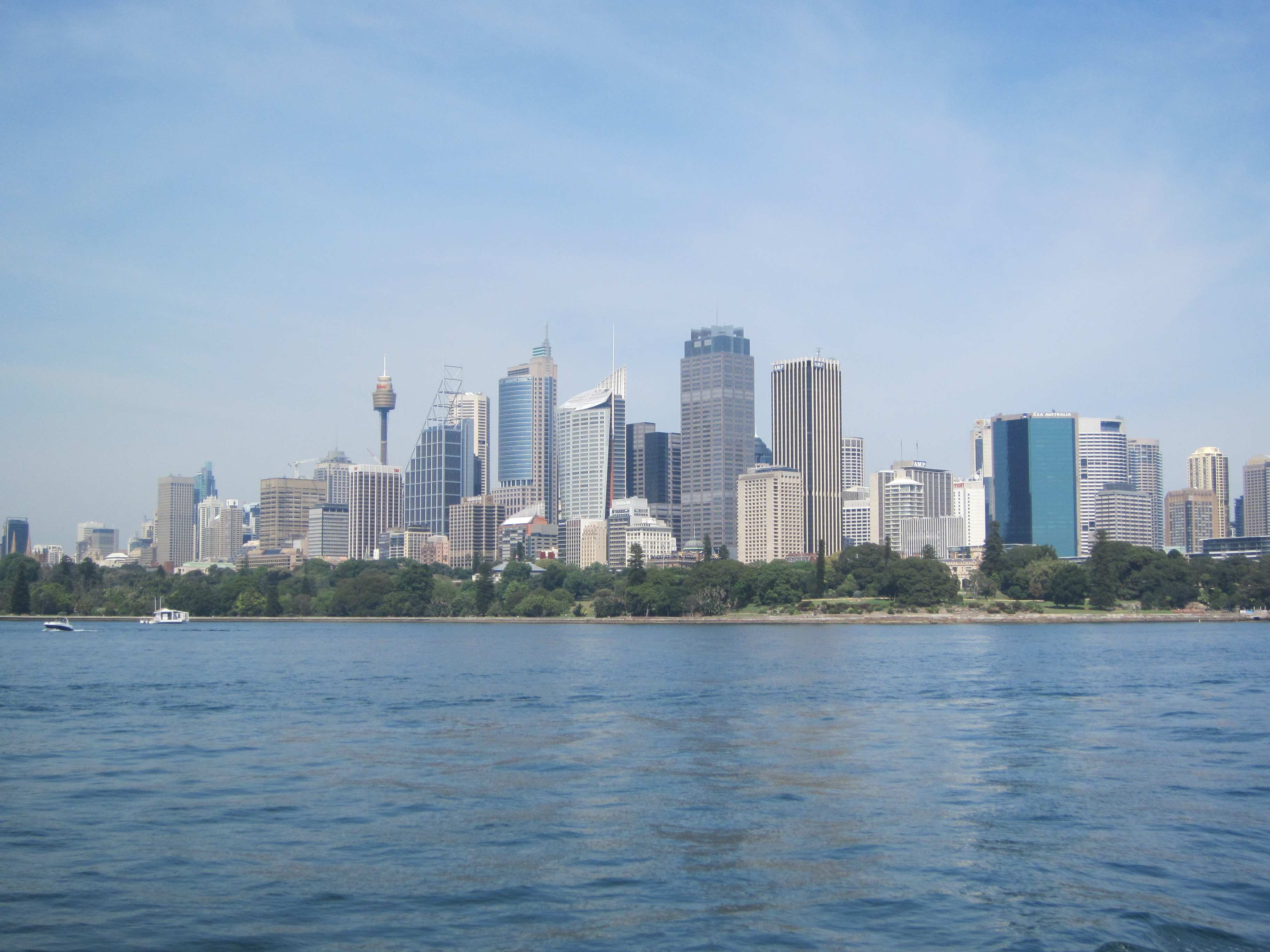
This is a complete listing of the suburbs and localities in the greater Sydney area in alphabetical order. Sydney has about 30 local government areas, each consisting of several suburbs. Suburbs in Australia are purely geographical, not political, divisions. See table below, : Suburbs of Sydney and : Local government areas in Sydney. Suburbs are listed here if they are inside the Sydney metro area, and are listed in the New South Wales Geographical Names Register as being suburbs. For this list, the boundaries of the Sydney metro area are defined as the Hawkesbury/Nepean River in the north/north west, and then the outer boundaries of the City of Penrith, Camden Council, the City of Campbelltown and Sutherland Shire. Some but not all Sydney localities are also listed, and localities are shown in italics to differentiate them from suburbs. Further localities may be added if they are on the Geographical Names Register, are inside the Sydney metro area, and are also listed in ... [...More Info...] [...Related Items...] OR: [Wikipedia] [Google] [Baidu] |


