|
Historic Bridges Of New South Wales
This list documents historical bridges located in New South Wales, Australia. Road, rail and pedestrian bridges are listed. Generally bridges built before WWII (1939) have been included in this list. Historical context Bridge construction in New South Wales starts with the needs of the first settlers and continues through to the present day with advanced bridge design. The infant colony had limited expertise and limited materials. As time passed, techniques and materials were developed that allowed greater spans to be crossed and therefore expansion of the colony into otherwise inaccessible areas. The Office of Public Works and Services, New South Wales, NSW Public Works Department was under pressure from a cash strapped government to produce as much road and bridge work for as little cost as possible. The cheapest bridge was the Truss bridge, timber truss which could be built with local timber. All bridges are unique in the sense that the bridges were built using various techno ... [...More Info...] [...Related Items...] OR: [Wikipedia] [Google] [Baidu] |
Sydney Sandstone
Sydney sandstone is the common name for Sydney Basin Hawkesbury Sandstone, one variety of which is historically known as Yellowblock, and also as "yellow gold" a sedimentary rock named after the Hawkesbury River north of Sydney, where this sandstone is particularly common. It forms the bedrock for much of the region of Sydney, Australia. Well known for its durable quality, it is the reason many Aboriginal rock carvings and drawings in the area still exist. As a highly favoured building material, especially preferred during the city's early years—from the late 1790s to the 1890s—its use, particularly in public buildings, gives the city its distinctive appearance. The stone is notable for its geological characteristics; its relationship to Sydney's vegetation and topography; the history of the quarries that worked it; and the quality of the buildings and sculptures constructed from it. This bedrock gives the city some of its "personality" by dint of its meteorologi ... [...More Info...] [...Related Items...] OR: [Wikipedia] [Google] [Baidu] |
Ironbark
Ironbark is a common name of a number of species in three taxonomic groups within the genus ''Eucalyptus'' that have dark, deeply furrowed bark. Instead of being shed annually as in many of the other species of ''Eucalyptus'', the dead bark accumulates on the trees, forming the fissures. It becomes rough after drying out and becomes impregnated with kino (red gum), a dark red tree sap exuded by the tree. The tree is so named for the apparent resemblance of its bark to iron slag. The bark is resistant to fire and heat and protects the living tissue within the trunk and branches from fire. In cases of extreme fire, where leaves and shoots are removed, the protective bark aids in protecting epicormic buds which allow the tree to reshoot. Being a very dense, hard wood, a length of ironbark is often used as a bug shoe on the bottom of a ship's skeg to protect it from shipworms. Ironbark was widely used in the piles of 19th and early 20th century bridges and wharves in New Zealand. ... [...More Info...] [...Related Items...] OR: [Wikipedia] [Google] [Baidu] |
Swing Bridge
A swing bridge (or swing span bridge) is a movable bridge that has as its primary structural support a vertical locating pin and support ring, usually at or near to its center of gravity, about which the swing span (turning span) can then pivot horizontally as shown in the animated illustration to the right. Small swing bridges as found over canals may be pivoted only at one end, opening as would a gate, but require substantial underground structure to support the pivot. In its closed position, a swing bridge carrying a road or railway over a river or canal, for example, allows traffic to cross. When a water vessel needs to pass the bridge, road traffic is stopped (usually by traffic signals and barriers), and then motors rotate the bridge horizontally about its pivot point. The typical swing bridge will rotate approximately 90 degrees, or one-quarter turn; however, a bridge which intersects the navigation channel at an oblique angle may be built to rotate only 45 degrees, or ... [...More Info...] [...Related Items...] OR: [Wikipedia] [Google] [Baidu] |
Darling Harbour
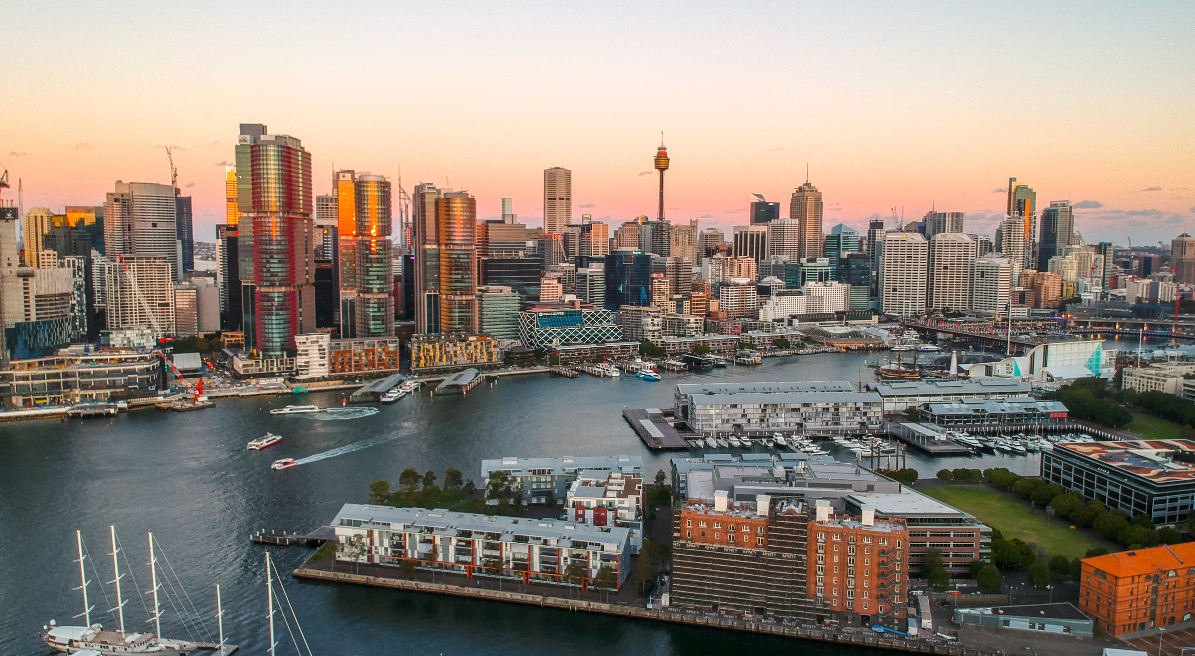
Darling Harbour is a harbour adjacent to the city centre of Sydney, New South Wales, Australia that is made up of a large recreational and pedestrian precinct that is situated on western outskirts of the Sydney central business district. Originally named Long Cove, the locality extends northwards from Chinatown, along both sides of Cockle Bay to King Street Wharf on the east, and to the suburb of Pyrmont on the west. Cockle Bay is just one of the waterways that makes up Darling Harbour, which opens north into the much larger Port Jackson. The precinct and its immediate surroundings are administered independently of the local government area of the City of Sydney, by Property NSW. History Darling Harbour is named after Lieutenant-General Ralph Darling, who was Governor of New South Wales from 1825 to 1831. The area was originally known as Long Cove, but was generally referred to as Cockle Bay until 1826 when Governor Darling renamed it after himself. The name Cockle Bay has ... [...More Info...] [...Related Items...] OR: [Wikipedia] [Google] [Baidu] |
Pyrmont Bridge
The Pyrmont Bridge, a heritage-listed swing bridge across Cockle Bay, is located in Darling Harbour, part of Port Jackson, west of the central business district in the City of Sydney local government area of New South Wales, Australia. Opened in 1902, the bridge initially carried motor vehicle traffic via the Pyrmont Bridge Road between the central business district and . Since 1981 the bridge has carried pedestrian and bicycle traffic only, as motor vehicles were diverted to adjacent freeway overpasses. The bridge was added to the New South Wales State Heritage Register on 28 June 2002, the centenary of its opening. The Jimmy Barnes' 1985 song "I'd die to be with you Tonight" was filmed on the Bridge, with it in the swing-out configuration. (See:I'd Die to be with You Tonight) History The first Pyrmont Bridge was opened on 17 March 1858, and was a wooden pile bridge with an iron centre 'swing panel' to allow ships to pass. In the first two weeks 20,000 pedestrians paid the ... [...More Info...] [...Related Items...] OR: [Wikipedia] [Google] [Baidu] |
Roads & Maritime Services
A road is a linear way for the conveyance of traffic that mostly has an improved surface for use by vehicles (motorized and non-motorized) and pedestrians. Unlike streets, the main function of roads is transportation. There are many types of roads, including parkways, avenues, controlled-access highways (freeways, motorways, and expressways), tollways, interstates, highways, thoroughfares, and local roads. The primary features of roads include lanes, sidewalks (pavement), roadways (carriageways), medians, shoulders, verges, bike paths (cycle paths), and shared-use paths. Definitions Historically many roads were simply recognizable routes without any formal construction or some maintenance. The Organization for Economic Co-operation and Development (OECD) defines a road as "a line of communication (travelled way) using a stabilized base other than rails or air strips open to public traffic, primarily for the use of road motor vehicles running on their own wheels", which i ... [...More Info...] [...Related Items...] OR: [Wikipedia] [Google] [Baidu] |
Parramatta
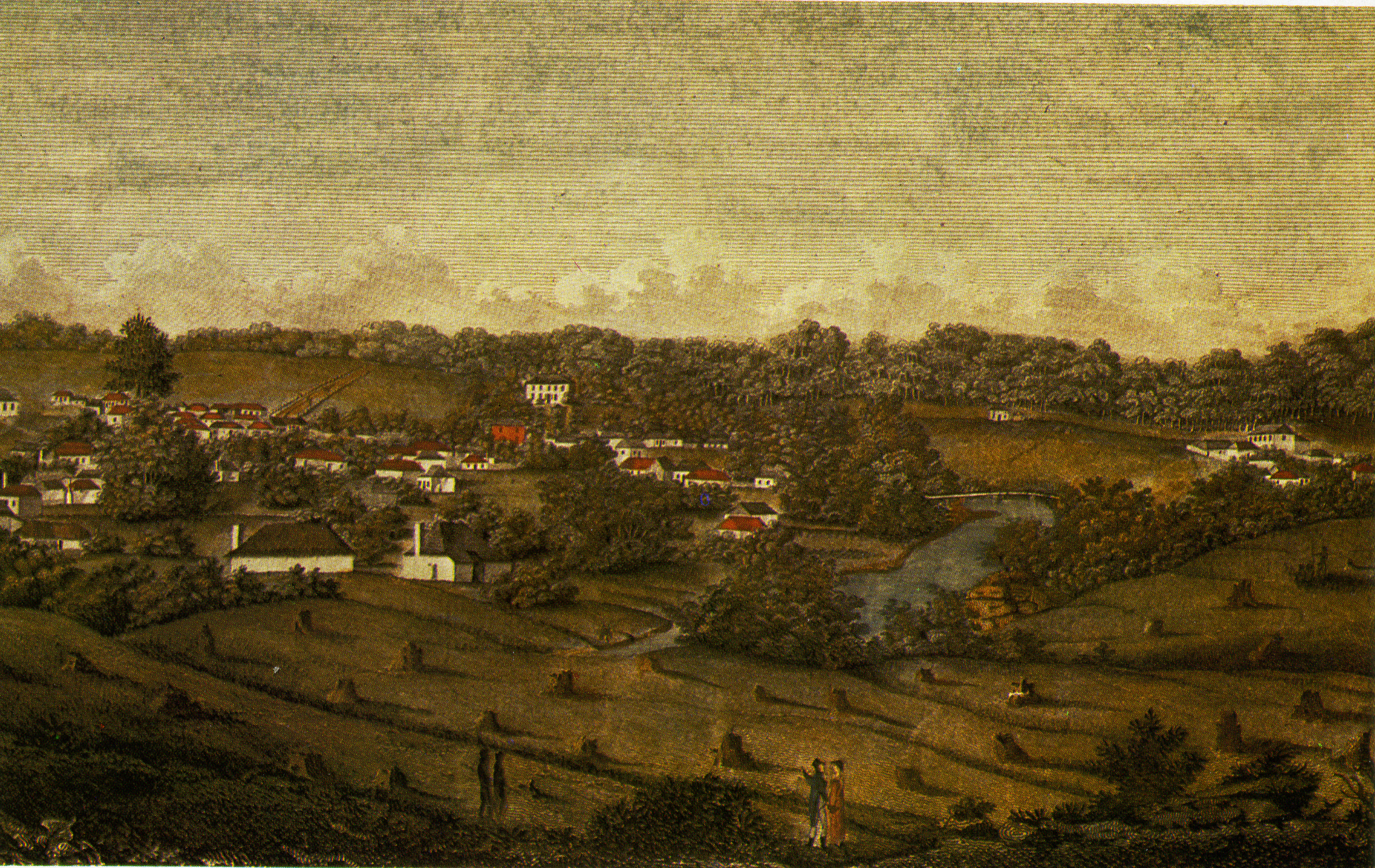
Parramatta () is a suburb and major Central business district, commercial centre in Greater Western Sydney, located in the state of New South Wales, Australia. It is located approximately west of the Sydney central business district on the banks of the Parramatta River. Parramatta is the administrative seat of the Local government areas of New South Wales, local government area of the City of Parramatta and is often regarded as the main business district of Greater Western Sydney. Parramatta also has a long history as a second administrative centre in the Sydney metropolitan region, playing host to a number of state government departments as well as state and federal courts. It is often colloquially referred to as "Parra". Parramatta, founded as a British settlement in 1788, the same year as Sydney, is the oldest inland European settlement in Australia and is the economic centre of Greater Western Sydney. Since 2000, government agencies such as the New South Wales Police Force ... [...More Info...] [...Related Items...] OR: [Wikipedia] [Google] [Baidu] |
Lennox Bridge, Parramatta
The Lennox Bridge is a heritage-listed sandstone single arch bridge across the Parramatta River, located in Parramatta in Western Sydney, New South Wales, Australia. The bridge was designed by and built under the supervision of David Lennox, the first Colonial Superintendent of Bridges using convict labour between 1836 and 1839. The Lennox Bridge is the third oldest surviving masonry bridge in New South Wales. The bridge carries Church Street, the main north-south street of Parramatta's central business district. It was added to the New South Wales State Heritage Register on 2 April 1999. History The Lennox Bridge is on the site of the earliest documented crossing of the Parramatta River in the Parramatta area, dating from early colonial settlement. The current bridge is the third on, or adjacent to, the site. The first was a simple timber footbridge which was destroyed by floods in 1795. The second bridge, called the Gaol Bridge, was built on stone piers with timber railing ... [...More Info...] [...Related Items...] OR: [Wikipedia] [Google] [Baidu] |
Hume Highway
Hume Highway, inclusive of the sections now known as Hume Freeway and Hume Motorway, is one of Australia's major inter-city national highways, running for between Melbourne in the southwest and Sydney in the northeast. Upgrading of the route from Sydney's outskirts to Melbourne's outskirts to dual carriageway was completed on 7 August 2013. From north to south, the road is called Hume Highway in metropolitan Sydney, Hume Motorway between the Cutler Interchange and Berrima, Hume Highway elsewhere in New South Wales and Hume Freeway in Victoria. It is part of the Auslink National Network and is a vital link for road freight to transport goods to and from the two cities as well as serving Albury-Wodonga and Canberra. Route At its Sydney end, Hume Highway begins at Parramatta Road, in Ashfield. This route is numbered as A22. The first of the highway was known as Liverpool Road until August 1928, when it was renamed as part of Hume Highway, as part of the creation of the N ... [...More Info...] [...Related Items...] OR: [Wikipedia] [Google] [Baidu] |


_Distances.gif)