|
Hipperholme
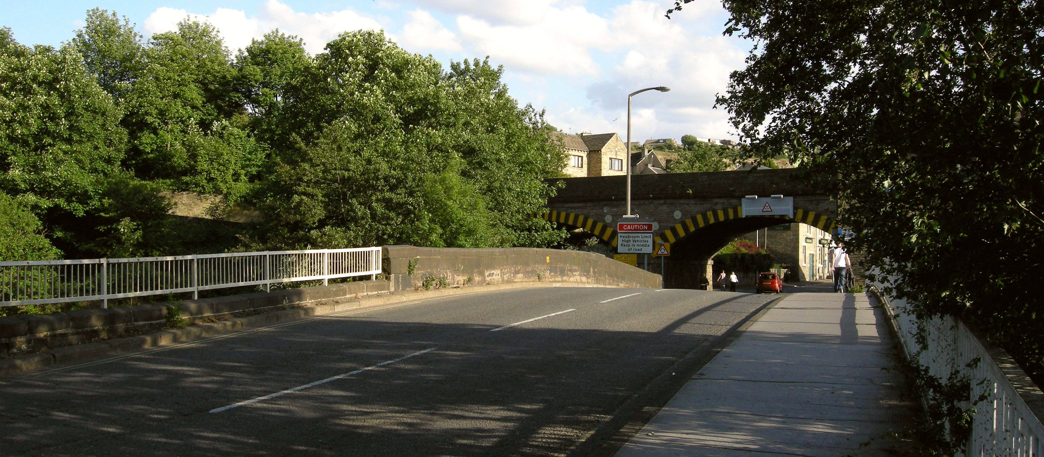
Hipperholme is a village in West Yorkshire, England, located between the towns of Halifax and Brighouse in the Hipperholme and Lightcliffe ward of the Metropolitan Borough of Calderdale. The population of this ward at the 2011 Census was 11,308. Geography Hipperholme is located at the crossroads of A58 road and A644 road, about east of Halifax town centre at a height of about a.s.l. (Christ Church). Lightcliffe is a village immediately east of Hipperholme. The boundary between the two is blurred, as there are places named after Lightcliffe with Hipperholme postal addresses. Other nearby places include Hove Edge in the south, Southowram and Northowram to the southwest and the northwest, respectively, and Shelf in the north. History Hipperholme is mentioned in the Domesday Book both as Hipperholme and as Huperun. Here the king held two carucates (an area of land used for taxation purposes which could notionally be ploughed by an eight-ox team in a season). Historicall ... [...More Info...] [...Related Items...] OR: [Wikipedia] [Google] [Baidu] |
Listed Buildings In Hipperholme And Lightcliffe
The ward of Hipperholme and Lightcliffe in the metropolitan borough of Calderdale, West Yorkshire, England, consists of the villages of Hipperholme and Lightcliffe together with the surrounding area. The ward contains 71 listed buildings that are recorded in the National Heritage List for England. Of these, three are at Grade II*, the middle of the three grades, and the others are at Grade II, the lowest grade. In addition to the villages of Hipperholme and Lightcliffe, the ward contains smaller settlements, including Bailiff Bridge, Coley, Hove Edge, and Norwood Green Norwood Green is a place in the London Borough of Ealing in London, England, that forms the southern part of Southall. It is a suburban development centred west of Charing Cross and ENE of Heathrow Airport. Its origin coincides with the 12th ..., and is otherwise rural. Most of the listed buildings are houses and associated structures, cottages, farmhouses and farm buildings. The other listed buildi ... [...More Info...] [...Related Items...] OR: [Wikipedia] [Google] [Baidu] |
Hipperholme Railway Station
Hipperholme railway station served the village of Hipperholme in West Yorkshire, England. History Hipperholme railway station was opened by the Lancashire and Yorkshire Railway on 17 August 1850. The station closed to passengers on 8 June 1953 and to goods in 1966. A campaign is under way to re-open the closed station or to have a new one built in the area to alleviate congestion in the Hipperholme area. In August 2018, as part of a call for new stations on the Caldervale Line The Calder Valley line (also previously known as the Caldervale line) is a railway route in Northern England between the cities of Leeds and Manchester as well as the seaside resort of Blackpool. It is the slower of the two main rail rou ... it was proposed that Hipperholme could reopen. Route References External links Hipperholme station on navigable 1947 O. S. mapHipperholme railway station in 1962 on flikrHipperholme railway station booking office in 1963 on flikr Disused rai ... [...More Info...] [...Related Items...] OR: [Wikipedia] [Google] [Baidu] |
Hipperholme Grammar School
) , established = , closed = , type = Independent school , religious_affiliation = Church of England , president = , head_label = Head Teacher , head = Mr Nick James , chair_label = Chair of Governors , chair = James Allison , founders = Matthew Broadley, Joseph Lister, Samuel Sunderland , address = Bramley Lane , city = Hipperholme Halifax , county = West Yorkshire , country = England , postcode = HX3 8JE , local_authority = , urn = 107585 , ofsted = , staff = 51 , enrolment = 371 , gender = Mixed , lower_age = 3 , upper_age = 16 , houses = Sunderland, Lister and Broadley , colours = Red and blue , publication = The Broadleian , free_label_1 = , free_1 = , free_label_2 = , free_2 = , free_label_3 = , free_3 = , website = http://www.hgsf.org.uk/ Hipperh ... [...More Info...] [...Related Items...] OR: [Wikipedia] [Google] [Baidu] |
Brighouse
Brighouse is a town within the metropolitan borough of Calderdale, in West Yorkshire, England. Historically within the West Riding of Yorkshire, it is situated on the River Calder, east of Halifax. It is served by Junction 25 of the M62 motorway and Brighouse railway station on the Caldervale Line and Huddersfield Line. In the town centre is a mooring basin on the Calder and Hebble Navigation. The United Kingdom Census 2001 gave the Brighouse / Rastrick subdivision of the West Yorkshire Urban Area a population of 32,360. The Brighouse ward of Calderdale Council gave a population of 11,195 at the 2011 Census. Brighouse has a HD6 postcode. The name Brighouse (or "Bridge House") originates from a building on (or close to) the bridge over the River Calder. In its early history, it was a hamlet of the nearby village of Rastrick. Brighouse is twinned with Lüdenscheid in Germany, the link beginning with an exchange by Brighouse Children's Theatre in 1950 followed by a ci ... [...More Info...] [...Related Items...] OR: [Wikipedia] [Google] [Baidu] |
Lightcliffe
Lightcliffe is a village in the Calderdale district in West Yorkshire, England. Historically part of the West Riding of Yorkshire, it is situated approximately three miles east of Halifax and two miles north west of Brighouse. Lightcliffe was a separate parish in 1846 in the West Riding of Yorkshire."Lightcliffe" Online Visual Archive of Calderdale History (calderdale.gov.uk). Retrieved 7 December 2011. Lightcliffe is a dormitory village for people working in Halifax, Brighouse, and Bradford, and commuting to , |
Calder Valley Line
The Calder Valley line (also previously known as the Caldervale line) is a railway route in Northern England between the cities of Leeds and Manchester as well as the seaside resort of Blackpool. It is the slower of the two main rail routes between Leeds and Manchester (the other being the Huddersfield line), and the northernmost of the three main trans-Pennine routes. Services Passenger train services are operated by Northern and run on the following pattern: * Bradford Interchange–Halifax– ( Class 150/ 155 trains and occasionally Class 158 * Leeds––Manchester Victoria (Class 150 and 158 trains) * Leeds–Halifax-Manchester Victoria- (Class 158 or Class 195 ''Civity'' trains) * York-Leeds–Halifax–Preston-Blackpool North (Class 158 and 195 trains) * –Burnley––Manchester Victoria (Class 150 or 156) * -Bradford Interchange-Leeds-Hull ( Class 170/ Class 158) This line, along with the Huddersfield line and York and Selby lines, was in the past combined ... [...More Info...] [...Related Items...] OR: [Wikipedia] [Google] [Baidu] |
Lightcliffe Academy
Lightcliffe Academy (formerly Hipperholme and Lightcliffe High School and Eastfield) is a high school situated between Lightcliffe and Hipperholme in West Yorkshire, England. The school has academy An academy ( Attic Greek: Ἀκαδήμεια; Koine Greek Ἀκαδημία) is an institution of secondary or tertiary higher learning (and generally also research or honorary membership). The name traces back to Plato's school of philosophy ... status. Ofsted Lightcliffe Academy was rated as inadequate by government officials in 2019. Officials cited its 'stubbornly below average attendance' and 'underachieving year 11's' as reasons for this judgement. References External linksSchool website Academies in Calderdale Secondary schools in Calderdale {{Yorkshire-school-stub ... [...More Info...] [...Related Items...] OR: [Wikipedia] [Google] [Baidu] |
Calderdale
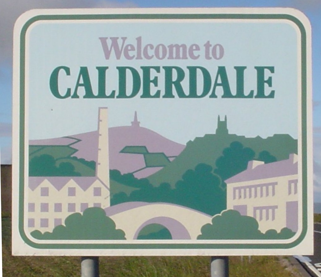
Calderdale is a metropolitan borough of West Yorkshire, England, whose population in 2020 was 211,439. It takes its name from the River Calder, and dale, a word for valley. The name Calderdale usually refers to the borough through which the upper river flows, while the actual landform is known as the Calder Valley. Several small valleys contain tributaries of the River Calder. Calderdale covers part of the South Pennines, and the Calder Valley is the southernmost of the Yorkshire Dales, though it is not part of the Yorkshire Dales National Park. The borough was formed in 1974 by the merger of six local government districts, from east to west Brighouse, Elland, Halifax, Sowerby Bridge, Hebden Bridge and Todmorden. Mytholmroyd, together with Hebden Bridge, forms Hebden Royd. Halifax is the commercial, cultural and administrative centre of the borough. Calderdale is served by Calderdale Council, which is headquartered in Halifax, with some functions based in Todmorden. History ... [...More Info...] [...Related Items...] OR: [Wikipedia] [Google] [Baidu] |
Metropolitan Borough Of Calderdale
Calderdale is a metropolitan borough of West Yorkshire, England, whose population in 2020 was 211,439. It takes its name from the River Calder, and dale, a word for valley. The name Calderdale usually refers to the borough through which the upper river flows, while the actual landform is known as the Calder Valley. Several small valleys contain tributaries of the River Calder. Calderdale covers part of the South Pennines, and the Calder Valley is the southernmost of the Yorkshire Dales, though it is not part of the Yorkshire Dales National Park. The borough was formed in 1974 by the merger of six local government districts, from east to west Brighouse, Elland, Halifax, Sowerby Bridge, Hebden Bridge and Todmorden. Mytholmroyd, together with Hebden Bridge, forms Hebden Royd. Halifax is the commercial, cultural and administrative centre of the borough. Calderdale is served by Calderdale Council, which is headquartered in Halifax, with some functions based in Todmorden. Hist ... [...More Info...] [...Related Items...] OR: [Wikipedia] [Google] [Baidu] |
A644 Road
List of A roads in zone 6 in Great Britain Great Britain is an island in the North Atlantic Ocean off the northwest coast of continental Europe. With an area of , it is the largest of the British Isles, the largest European island and the ninth-largest island in the world. It i ... starting east of the A6 and A7 roads, and west of the A1 (road beginning with 6). Single- and double-digit roads Triple-digit roads Four-digit roads (60xx) Four-digit roads (61xx and higher) References {{UK road lists 6 6 ... [...More Info...] [...Related Items...] OR: [Wikipedia] [Google] [Baidu] |
A649 Road
List of A roads in zone 6 in Great Britain Great Britain is an island in the North Atlantic Ocean off the northwest coast of continental Europe. With an area of , it is the largest of the British Isles, the largest European island and the ninth-largest island in the world. It is ... starting east of the A6 and A7 roads, and west of the A1 (road beginning with 6). Single- and double-digit roads Triple-digit roads Four-digit roads (60xx) Four-digit roads (61xx and higher) References {{UK road lists 6 6 ... [...More Info...] [...Related Items...] OR: [Wikipedia] [Google] [Baidu] |
Lightcliffe Railway Station
Lightcliffe railway station served the village of Lightcliffe in West Yorkshire, England. It was opened in August 1850 and was a victim of the Beeching cuts The Beeching cuts (also Beeching Axe) was a plan to increase the efficiency of the nationalised British Rail, railway system in Great Britain. The plan was outlined in two reports: ''The Reshaping of British Railways'' (1963) and ''The Develop ... on 14 June 1965. References * External links Lightcliffe station on navigable 1947 O. S. map Disused railway stations in Calderdale Former Lancashire and Yorkshire Railway stations Beeching closures in England Railway stations in Great Britain opened in 1850 Railway stations in Great Britain closed in 1965 {{Yorkshire-Humber-railstation-stub ... [...More Info...] [...Related Items...] OR: [Wikipedia] [Google] [Baidu] |


