|
Highway 666
The following highways are numbered 666: Belgium * The pilgrimage centre of Banneux Banneux () is a village of Wallonia in the municipality of Sprimont, district of Louveigné, located in the province of Liège, Belgium. It is known because of the reported Marian apparitions of Our Lady of Banneux Our Lady of Banneux, or Our ... in Belgium is located on the N666 road. Canada * Alberta Highway 666 * Ontario Highway 666 (former) Ireland * R666 Italy * Strada regionale 666 di Sora (formerly ''strada statale 666 di Sora) Philippines * N666 highway (Philippines) Sweden * Länsväg 666, in Uppland, eastbound from Alunda. United Kingdom * A666 road United States * * * (former) * * * * {{Road index, 666 ... [...More Info...] [...Related Items...] OR: [Wikipedia] [Google] [Baidu] |
Alberta Highway 666
Alberta Provincial Highway No. 666, commonly referred to as Highway 666, is a highway in the province of Alberta, Canada. It runs mostly west-east, on mostly existing township and range roads in the Municipal District of Greenview No. 16 in Northern Alberta, for 37 km. Route description The highway starts on Range Road 85 at a creek crossing, south of this point Weyerhaeuser Canada Corporation maintains a network of forestry roads, extending approximately south to the Two Lakes Provincial Park and Nose Mountain camping areas, and further to the high Kakwa Falls on the Kakwa River. Highway 666 travels north east on Township Road 692, Range Road 82, and Township Road 700, to the hamlet of Grovedale. It then follows the south bank of Wapiti River, with O'Brien Provincial Park in between, before meeting up with Highway 40. The Highway 40 bridge over Wapiti River south of Grande Prairie also crosses Highway 666, and with separate northbound and southbound exits to Hwy 6 ... [...More Info...] [...Related Items...] OR: [Wikipedia] [Google] [Baidu] |
Pilgrimage
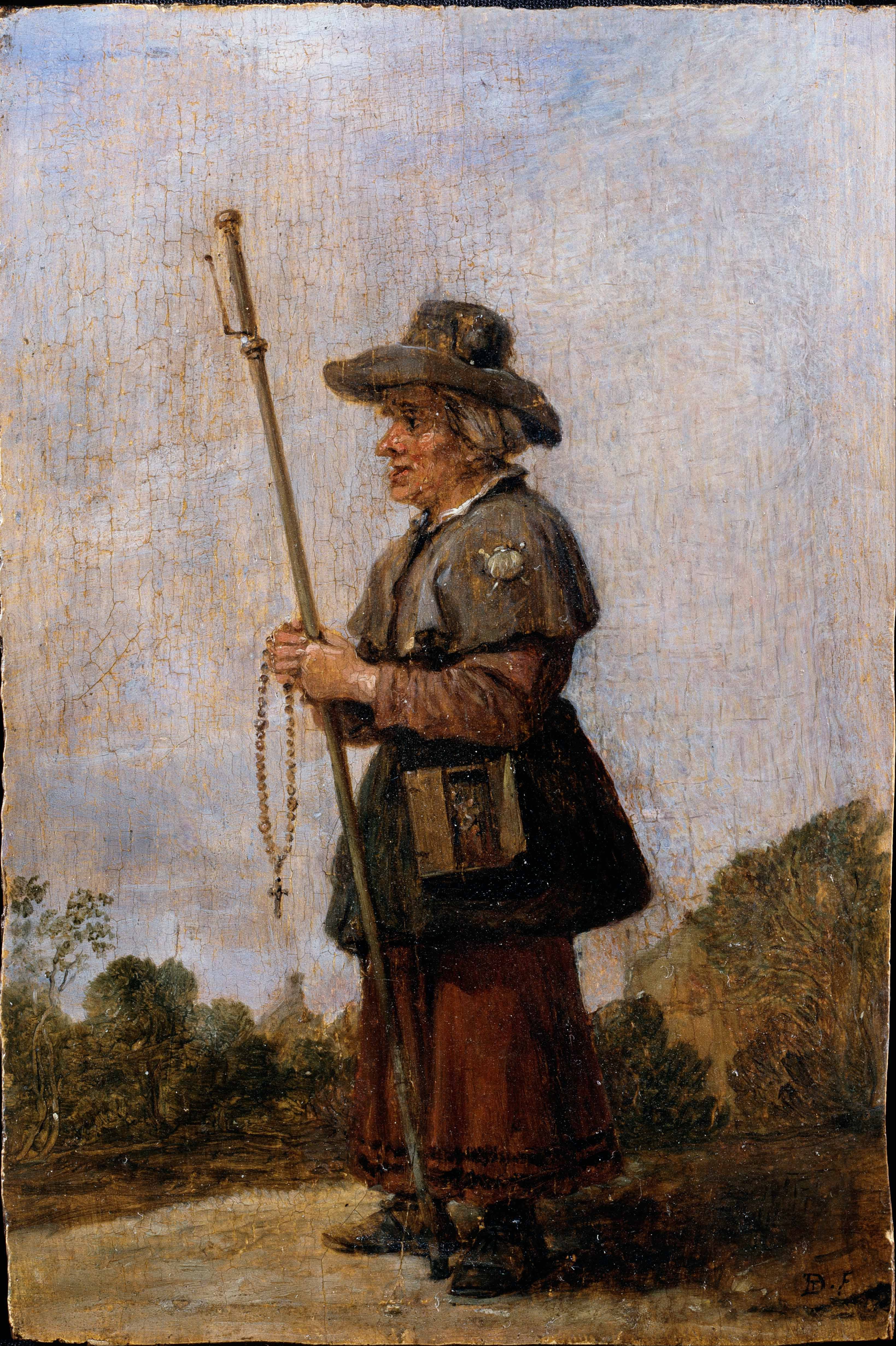
A pilgrimage is a journey, often into an unknown or foreign place, where a person goes in search of new or expanded meaning about their self, others, nature, or a higher good, through the experience. It can lead to a personal transformation, after which the pilgrim returns to their daily life. Background Pilgrimages frequently involve a journey or search of moral or spiritual significance. Typically, it is a journey to a shrine or other location of importance to a person's beliefs and faith, although sometimes it can be a metaphorical journey into someone's own beliefs. Many religions attach spiritual importance to particular places: the place of birth or death of founders or saints, or to the place of their "calling" or spiritual awakening, or of their connection (visual or verbal) with the divine, to locations where miracles were performed or witnessed, or locations where a deity is said to live or be "housed", or any site that is seen to have special spiritual powers. S ... [...More Info...] [...Related Items...] OR: [Wikipedia] [Google] [Baidu] |
Banneux
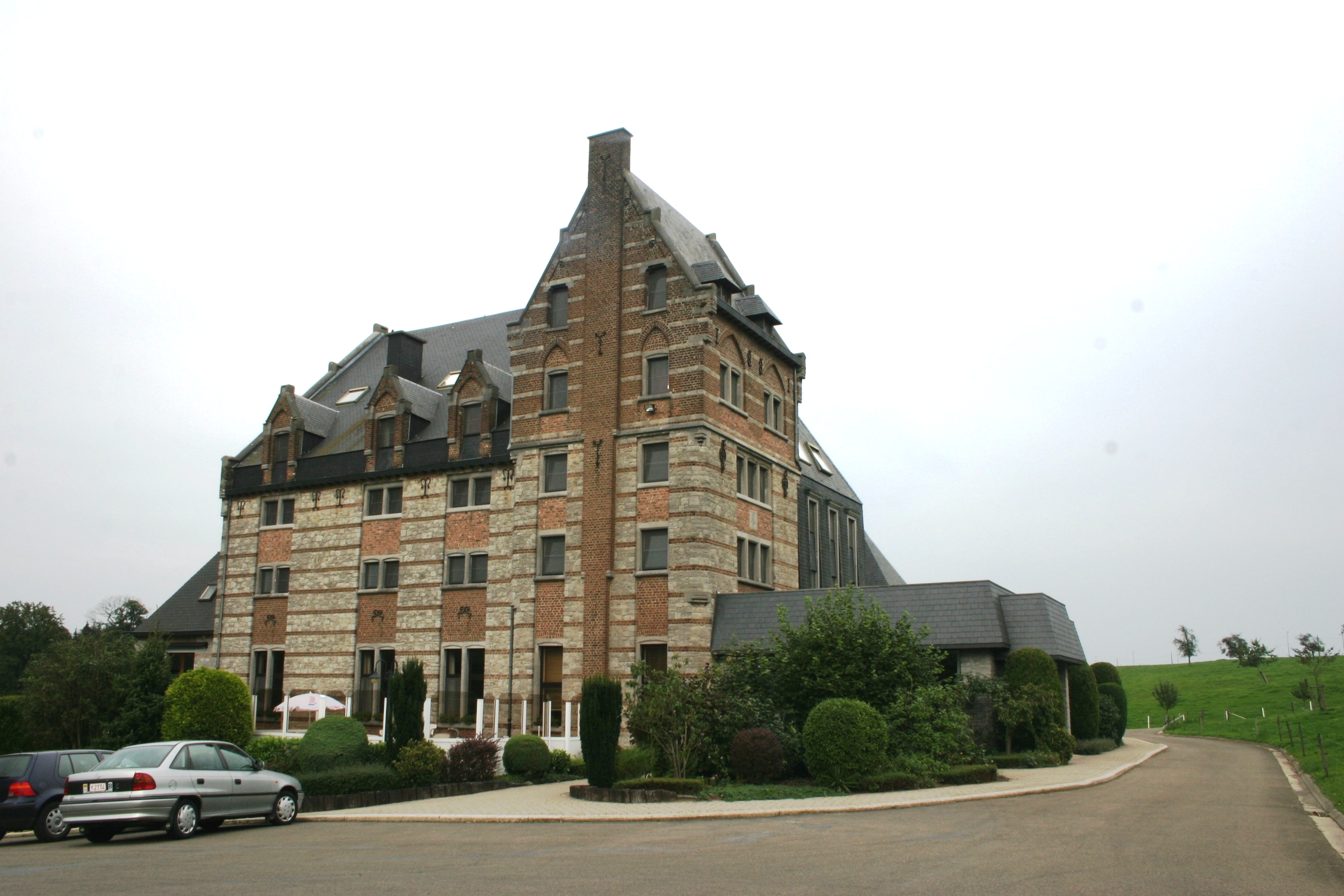
Banneux () is a village of Wallonia in the municipality of Sprimont, district of Louveigné, located in the province of Liège, Belgium. It is known because of the reported Marian apparitions of Our Lady of Banneux Our Lady of Banneux, or Our Lady of the Poor, is the sobriquet given to the Marian apparitions, apparition of the Virgin Mary to Mariette Beco, an adolescent girl living in Banneux, Liège Province, Belgium. Between 15 January and 2 March 1933 Bec ..., also known as ''Our Lady of the Poor'' to a young girl called Mariette Beco. SourcesBelgian Tourist Office External links Shrine of Our Lady of the Poor at Banneux Populated places in Liège Province Sprimont {{Liege-geo-stub ... [...More Info...] [...Related Items...] OR: [Wikipedia] [Google] [Baidu] |
Ontario Highway 666
Secondary Highway 658, commonly referred to as Highway 658, is a provincially maintained highway in the Canadian province of Ontario, located in Kenora District. The highway extends between the city of Kenora and the community of Redditt. For a decade, Highway 658 was numbered as Highway 666, leading to numerous sign thefts and a petition by members of a church on the route. This petition eventually led to the route being renumbered in late 1985. Route description Highway 658 is a highway located within Kenora District northwest of the city of Kenora. It travels through communities lying north of Highway 17A, the Trans-Canada Highway. It is mostly rural, being surrounded by ranches and equipment sheds as well as the boreal forest and rock outcroppings of the Canadian Shield. In the town of Redditt, the highway ends at a train station served by Via Rail. History Highway 658 was originally designated on July 21, 1966, travelling north from Highway 17, west of ... [...More Info...] [...Related Items...] OR: [Wikipedia] [Google] [Baidu] |
R666 Regional Route Shield Ireland
The R666 road is a regional road in Ireland which runs west-east from the R639 in Fermoy town centre to the bridge over the River Blackwater on the outskirts of Lismore. The road passes through Ballyduff, and beneath the River Blackwater viaduct which carries the M8 motorway. The R666 begins in Fermoy as the Rathhealy Road. From here to its merger with the R667 road 3km south of Kilworth, the R666 was once part of the historic road linking Dublin and Cork. It was mapped as such by Herman Moll in his 1714 ''New Map of Ireland''.See Herman Moll's New Map of Ireland (1714) The route is long. Locally, the road is sometimes humorously known as the road to hell from its name being the same as the Number of the Beast. See also *Roads in Ireland *Motorways in Ireland *National primary road *National secondary road *History of roads in Ireland References Roads Act 1993 (Classification of Regional Roads) Order 2006– Department of Transport The Department for Transport ... [...More Info...] [...Related Items...] OR: [Wikipedia] [Google] [Baidu] |
R666 Road
The R666 road is a regional road in Ireland which runs west-east from the R639 in Fermoy town centre to the bridge over the River Blackwater on the outskirts of Lismore. The road passes through Ballyduff, and beneath the River Blackwater viaduct which carries the M8 motorway. The R666 begins in Fermoy as the Rathhealy Road. From here to its merger with the R667 road 3km south of Kilworth, the R666 was once part of the historic road linking Dublin and Cork. It was mapped as such by Herman Moll in his 1714 ''New Map of Ireland''.See Herman Moll's New Map of Ireland (1714) The route is long. Locally, the road is sometimes humorously known as the road to hell from its name being the same as the Number of the Beast. See also *Roads in Ireland *Motorways in Ireland *National primary road *National secondary road *History of roads in Ireland References Roads Act 1993 (Classification of Regional Roads) Order 2006– Department of Transport The Department for Transport ... [...More Info...] [...Related Items...] OR: [Wikipedia] [Google] [Baidu] |
Strada Statale 666 Italia
Strada is a chain based in the United Kingdom of branded restaurants specialising in Italian cuisine with two Strada sites and six Coppa Clubs, all in Southern England. History The concept was spawned by Luke Johnson in 2000 and, over five years, expanded to thirty restaurants. In September 2005, Richard Caring bought the chain from Johnson for £60m. During this period of ownership, twenty more restaurants were added to the chain and, in May 2007 they, along with five Belgo and Bierodrome restaurants, were acquired by Tragus Group Ltd for £140m, owner of the brands Cafe Rouge, Bella Italia, Potters Bar & Kitchen and Huxleys. In September 2012, Strada joined the Nectar loyalty card reward scheme as a redemption partner. In July 2013, Strada began a partnership with the Gourmet Society, offering their members discounts on production of a Gourmet Society restaurant discount card. In September 2014, forty three of Strada restaurants were bought by Hugh Osmond's Sun Capital Pa ... [...More Info...] [...Related Items...] OR: [Wikipedia] [Google] [Baidu] |
Sora, Lazio
Sora () is a town and ''comune'' of Lazio, Italy, in the province of Frosinone. It is built in a plain on the banks of the Liri. This part of the valley is the seat of some important manufacturing, especially of paper mills. The area around Sora is famous for the costumes of its peasants. History Sora, an ancient Volscian town, was thrice captured by the Romans, in 345, 314, and 305 BCE, before they managed, in 303, by means of a colony 4,000 strong, to confirm its annexation as a Latin colony. In 209, it was one of the colonies that refused further contributions to the war against Hannibal. By the ''lex Julia'', it became a municipium, but under Augustus, it was colonized by soldiers of the legio IV Sorana, which had been mainly enrolled there. It belonged technically to ''Latium adiectum''. Located in the ''Ducatus Romanus'' under the authority of the pope during the early Dark Ages, it was captured by the Lombards of Gisulf I of Benevento in 705. The castle of ''Sorella' ... [...More Info...] [...Related Items...] OR: [Wikipedia] [Google] [Baidu] |
UK Road A666
The United Kingdom of Great Britain and Northern Ireland, commonly known as the United Kingdom (UK) or Britain, is a country in Europe, off the north-western coast of the continental mainland. It comprises England, Scotland, Wales and Northern Ireland. The United Kingdom includes the island of Great Britain, the north-eastern part of the island of Ireland, and many smaller islands within the British Isles. Northern Ireland shares a land border with the Republic of Ireland; otherwise, the United Kingdom is surrounded by the Atlantic Ocean, the North Sea, the English Channel, the Celtic Sea and the Irish Sea. The total area of the United Kingdom is , with an estimated 2020 population of more than 67 million people. The United Kingdom has evolved from a series of annexations, unions and separations of constituent countries over several hundred years. The Treaty of Union between the Kingdom of England (which included Wales, annexed in 1542) and the Kingdom of Scotland in 1707 ... [...More Info...] [...Related Items...] OR: [Wikipedia] [Google] [Baidu] |
A666 Road
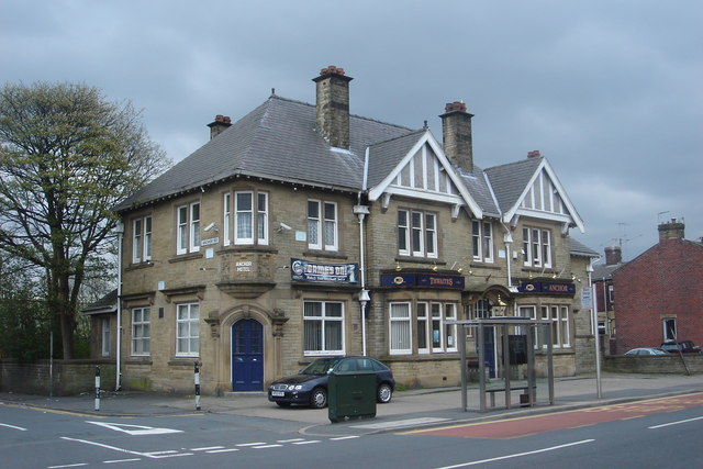
The A666 is a major road in Greater Manchester and Lancashire, England. Route The road runs from its junction with the A6, and A580 at the Irlams o' th' Height boundary with Pendlebury near Manchester, through Pendlebury, Clifton, Kearsley, Farnworth, Bolton, Darwen and Blackburn before meeting the A59 at Langho. Along the route are the West Pennine Moors, the Turton and Entwistle reservoir and the Entwistle reservoir forest. Road names Most common names The road is mostly known as Manchester Road, Bolton Road, or Blackburn Road, depending on which area it is in. Devil's Causeway It is sometimes referred to as the Devil's Highway or the Devil's Road because of Biblical associations of its number 666, and its high accident rate on the moors between Egerton and Darwen. St Peter's Way Officially, a short length from the A666(M) motorway and bypassing Farnworth to central Bolton is calleSt. Peter's Way Crash rate Because of a crash rate that was three times higher than ... [...More Info...] [...Related Items...] OR: [Wikipedia] [Google] [Baidu] |


