|
Highway 11 (Wisconsin)
State Trunk Highway 11 (often called Highway 11, STH-11 or WIS 11) is a Wisconsin State Highway system, state highway running east–west across southern Wisconsin. The highway connects Dubuque, Iowa with the cities of Janesville, Wisconsin, Janesville, Racine, Wisconsin, Racine and Elkhorn, Wisconsin, Elkhorn. Most of the route is two-lane road with the exception of an expressway bypass of Monroe, Wisconsin, Monroe, a multilane bypass of Janesville, a section where it is concurrent with Interstate 39, I-39 and Interstate 90, I-90, a combined freeway/Dual carriageway, divided highway bypass of Burlington, Wisconsin, Burlington to the south, where it is partially concurrent with Wisconsin Highway 36, WI 36 and Wisconsin Highway 83, WI 83, and urban multilane highway in the greater Racine area. Route description WIS 11 begins in Grant County, Wisconsin, Grant County at the freeway carrying U.S. Route 61 in Wisconsin, US 61 and U.S. Route 151 in Wisconsin, US 151 and concurre ... [...More Info...] [...Related Items...] OR: [Wikipedia] [Google] [Baidu] |
Kieler, Wisconsin
Kieler is an unincorporated census-designated place in the Town of Jamestown, Wisconsin, Jamestown in Grant County, Wisconsin, Grant County, Wisconsin. It is located about seven miles northeast of the Iowa-Wisconsin border and the city of Dubuque, Iowa, and about four miles southwest of Dickeyville, Wisconsin, along U.S. Highway 61 and U.S. Highway 151. As of the United States Census, 2010, 2010 census, its population was 497. History The community was named after John Kieler, an immigrant from Prussia who arrived in the area in 1855. Education Immaculate Conception, the only Roman Catholic, Catholic church in Kieler, was constructed in 1858. The church was remodeled in 1896, when a rock exterior and two front towers were added. A 2004 addition includes a large gathering area on the west side. Holy Ghost/Immaculate Conception School serves students in grades 4 through 8. Students in kindergarten through 3rd grade attend school in Dickeyville. Notes External links Immaculate Con ... [...More Info...] [...Related Items...] OR: [Wikipedia] [Google] [Baidu] |
Interstate 39
Interstate 39 (I-39) is a highway in the Midwestern United States. I-39 runs from Normal, Illinois, at I-55 to State Trunk Highway 29 (WIS 29) in the town of Rib Mountain, Wisconsin, which is approximately south of Wausau. I-39 was designed to replace U.S. Route 51 (US 51), which, in the early 1980s, was one of the busiest two-lane highways in the United States. I-39 was built in the 1980s and 1990s. In Illinois, the route has a total length of . In Wisconsin, I-39 has a distance of . With the exception of an segment around Portage, Wisconsin, the Interstate shares a route with at least one other route number in I-39's entirety. From Rockford, Illinois, to Portage, Wisconsin, I-39 runs concurrently with I-90. In Wisconsin, I-94 joins the pair in Madison until Portage. At in length, this concurrency of three Interstates is the longest in the country. From Portage northward, US 51 is cosigned with the Interstate and has exit numbers based on its ... [...More Info...] [...Related Items...] OR: [Wikipedia] [Google] [Baidu] |
Wisconsin Highway 23
State Trunk Highway 23 (often called Highway 23, STH-23 or WIS 23) is a state highway in the U.S. state of Wisconsin. The route is signed as a north–south route from Shullsburg to Wisconsin Dells and as an east–west route from Wisconsin Dells to Sheboygan. With the exception of freeway segments between Sheboygan Falls and Sheboygan, an expressway segment between Sheboygan Falls past Greenbush to Fond du Lac, a freeway concurrency with I-39, and an expressway segment concurrent with U.S. Route 151, the highway is generally either two-lane surface road or urban multilane arterial. WIS 23 provides access to several important Wisconsin destinations, such as the House on the Rock, the Wisconsin Dells area and various state parks. Route description Shullsburg to Wisconsin Dells WIS 23 begins at WIS 11 in Lafayette County, five miles (8 km) east of Shullsburg, and passes north through Darlington. WIS 23 shares one mile (1.6 km) of road with WIS 81 starting a ... [...More Info...] [...Related Items...] OR: [Wikipedia] [Google] [Baidu] |
Shullsburg, Wisconsin
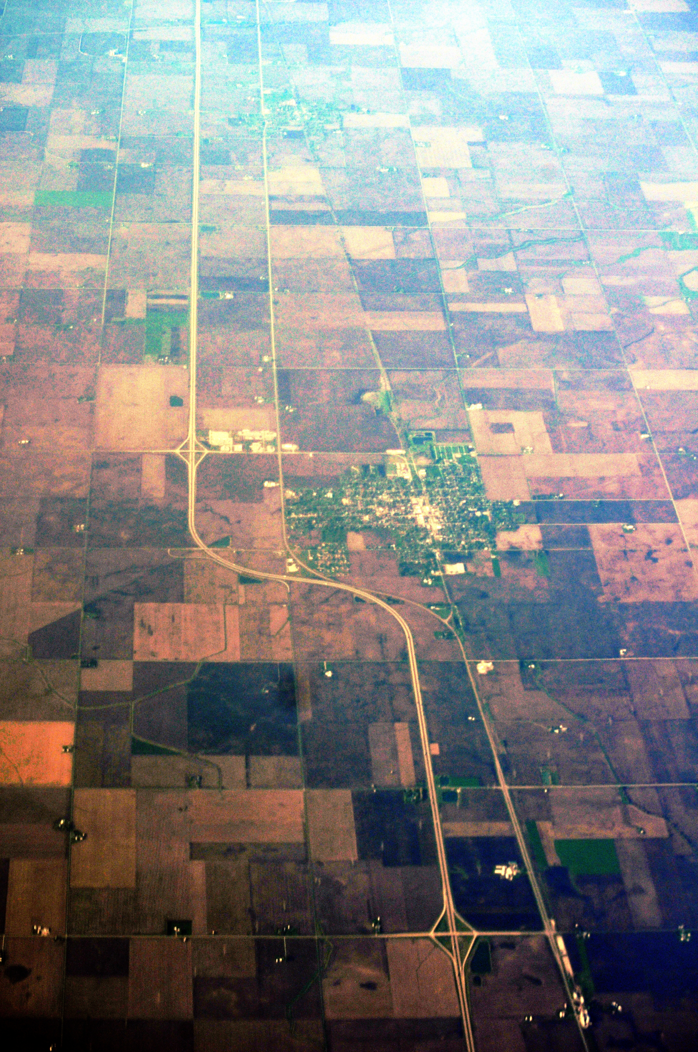
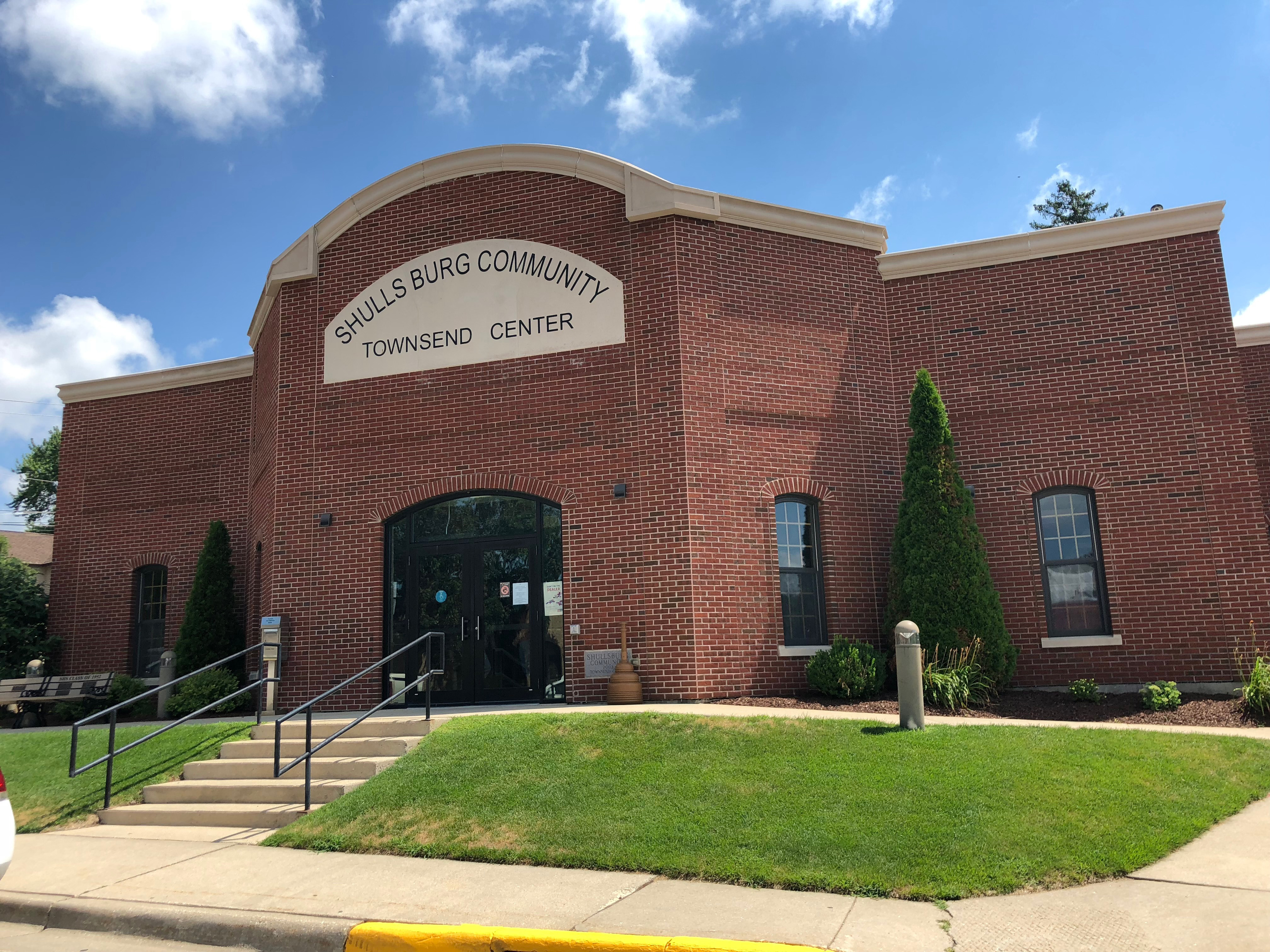
Shullsburg is a city in Lafayette County, Wisconsin, United States. The population was 1,226 at the 2010 census. The city is adjacent to the Town of Shullsburg. Founded in 1827 it is one of the oldest settlements in Wisconsin. There are 34 buildings listed on the National Register of Historic Places on its historic Water Street Commercial District. It is located within the Midwestern Driftless Area and is known for its history of lead mining and its cheese industry. History Shullsburg was founded during the 1820s in parts by Jason Shull and Henry Gratiot and due to their ventures into lead mining. Following the Black Hawk War conflict Gratiot's Grove (Wisconsin) and other small settlements consolidated into Shullsburg. In 1841 Missionary Priest Samuel Mazzuchelli platted the Northeast section of town and named the streets after the virtues of life. After arrival of railroad in the 1880s the Water Street Commercial District saw the construction of its many brick and limest ... [...More Info...] [...Related Items...] OR: [Wikipedia] [Google] [Baidu] |
Benton, Wisconsin
Benton is a village in Lafayette County, Wisconsin, United States. The population was 973 at the 2010 census. The village is located within the Town of Benton. History Benton was named for Thomas Hart Benton, a U.S. senator from Missouri. Up until that point, the community was known as Swindler's Ridge. The pioneer priest Father Samuel Mazzuchelli founded the village's Catholic parish, Saint Patrick's Church. Father Mazzuchelli is buried in Saint Patrick's cemetery. He was declared Venerable by Pope John Paul II in 1993, and the case for his Sainthood is still pending. Geography Benton is located at (42.570836, -90.38437). According to the United States Census Bureau, the village has a total area of , all of it land. Demographics 2010 census As of the census of 2010, there were 973 people, 398 households, and 264 families residing in the village. The population density was . There were 426 housing units at an average density of . The racial makeup of the village was 98. ... [...More Info...] [...Related Items...] OR: [Wikipedia] [Google] [Baidu] |
Wisconsin Highway 80
State Trunk Highway 80 (abbreviated as Highway 80, STH-80 or WIS 80) is a state highway in the U.S. state of Wisconsin. It runs north–south in southwest and west central Wisconsin from just south of Marshfield, near the geographic center of the state to the Illinois border near Hazel Green. Route description WIS 80 begins at a roundabout with U.S. Highway 10 (US 10) just south of Marshfield, running south through the farmlands of Wood County before combining with WIS 73 and heading east for to Pittsville, where it turns south through town and comes within a few hundred yards of the geographic center of the state. South from Pittsville, the terrain is flat as WIS 80 passes along the Necedah National Wildlife Refuge, through the center of Necedah, and into New Lisbon just past the junction with Interstate 90/ Interstate 94 (I-90/I-94). South of New Lisbon, it enters the Driftless Area with many rolling hills and curves. WIS 80 meets ... [...More Info...] [...Related Items...] OR: [Wikipedia] [Google] [Baidu] |
Hazel Green, Wisconsin
Hazel Green is a village in Grant and Lafayette counties in the U.S. state of Wisconsin. The population was 1,256 at the 2010 census. Of this, 1,243 were in Grant County, and only 13 were in Lafayette County. The village is located mostly within the Town of Hazel Green in Grant County; only a small portion extends into the Town of Benton in Lafayette County. History In 1825, the village was named from dense growth of American Hazelnut near the town site. In 1876, a tornado struck Hazel Green; nine died, many were injured, and property loss was approximately $40,000 to $50,000. Geography Hazel Green is located at (42.532741, -90.434359). According to the United States Census Bureau, the village has a total area of , all of it land. Demographics 2010 census As of the census of 2010, there were 1,256 people, 531 households, and 333 families living in the village. The population density was . There were 557 housing units at an average density of . The racial makeup of the vi ... [...More Info...] [...Related Items...] OR: [Wikipedia] [Google] [Baidu] |
Illinois
Illinois ( ) is a U.S. state, state in the Midwestern United States, Midwestern United States. Its largest metropolitan areas include the Chicago metropolitan area, and the Metro East section, of Greater St. Louis. Other smaller metropolitan areas include, Peoria metropolitan area, Illinois, Peoria and Rockford metropolitan area, Illinois, Rockford, as well Springfield, Illinois, Springfield, its capital. Of the fifty U.S. states, Illinois has the List of U.S. states and territories by GDP, fifth-largest gross domestic product (GDP), the List of U.S. states and territories by population, sixth-largest population, and the List of U.S. states and territories by area, 25th-largest land area. Illinois has a highly diverse Economy of Illinois, economy, with the global city of Chicago in the northeast, major industrial and agricultural productivity, agricultural hubs in the north and center, and natural resources such as coal, timber, and petroleum in the south. Owing to its centr ... [...More Info...] [...Related Items...] OR: [Wikipedia] [Google] [Baidu] |
Wisconsin Highway 35
State Trunk Highway 35 (STH-35, WIS 35) is a Wisconsin state highway running north–south across western Wisconsin. It is 412.15 miles in length, and is the longest state highway in Wisconsin. Portions of WIS 35 are part of the Great River Road. Route description WIS 35 is a major north–south route through westernmost Wisconsin, often following close to the state border. Because of the lower population of counties along the state's western border with Iowa and Minnesota, it is a mostly rural routing with lower traffic counts than in other parts of the state. WIS 35 is also the terminus of 15 different state, US, and Interstate highways along its route. Illinois state line to Prairie du Chien The southern terminus of WIS 35 is at the Illinois–Wisconsin border, north of East Dubuque, Illinois. It continues on into that state as Illinois Route 35 (IL 35), which is the shortest state highway in Illinois. From the state line, WIS ... [...More Info...] [...Related Items...] OR: [Wikipedia] [Google] [Baidu] |
Wisconsin Highway 83
State Trunk Highway 83 (often called Highway 83, STH-83 or WIS 83) is a state highway in the U.S. state of Wisconsin. It runs north–south in southeast Wisconsin from Hartford to the Illinois border in the village of Salem Lakes. Most of the WIS 83 corridor consists of glacial formations and lakes. From the Washington County line south to the Illinois state line, WIS 83 runs within a few miles of at least 11 different small lakes. The rural nature of this routing results in WIS 83 being mostly two-lane undivided highway except for sections where it runs concurrent with other highways (WIS 50 and WIS 36), or where it approaches an Interstate (I-43 and I-94). Route description WIS 83 begins at the Wisconsin–Illinois state line, just north of Antioch, Illinois, at the northern terminus of Illinois Route 83 (IL 83). WIS 83 heads north through Salem through the Westosha region of Kenosha County as Antioch Road. On the western edge of Paddock Lake, WIS 8 ... [...More Info...] [...Related Items...] OR: [Wikipedia] [Google] [Baidu] |
Wisconsin Highway 36
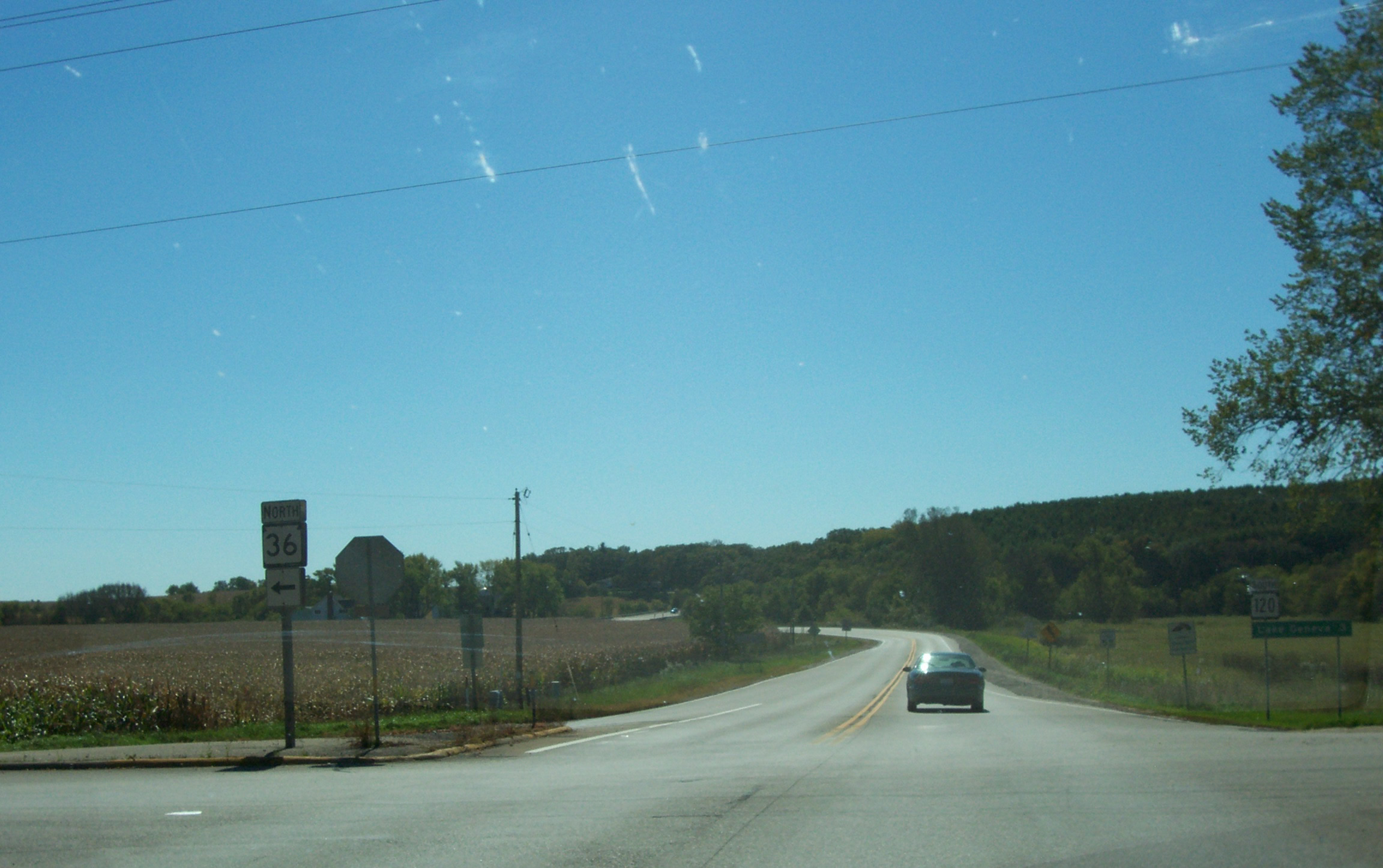
State Trunk Highway 36 (often called Highway 36, STH-36 or WIS 36) is a state highway in the U.S. state of Wisconsin. It runs in a diagonal southwest–northeast direction across southeastern Wisconsin from Springfield which is north of Lake Geneva to Milwaukee. Route description WIS 36 begins at its intersection with WIS 120 and travels in a general northeasterly direction to an intersection with WIS 11 in Burlington. The road continues northeast, passing through Waterford where it connects with WIS 164, then to Wind Lake and Muskego before heading to Franklin, where it runs concurrently with US Highway 45 (US 45) for a short distance, and crosses WIS 100. The highway then follows Loomis Road through Greendale and Greenfield, where it intersects with Interstate 43 (I-43) and I-894 before terminating at WIS 241 in Milwaukee. History WIS 36 is unusual in that its route has seen few changes since it was designated in ... [...More Info...] [...Related Items...] OR: [Wikipedia] [Google] [Baidu] |
Burlington, Wisconsin
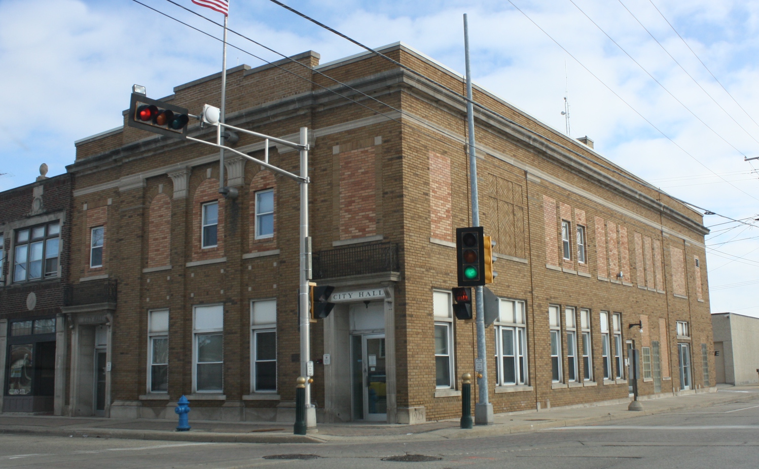
Burlington is a city in Racine and Walworth counties in the U.S. state of Wisconsin, with the majority of the city located in Racine County. The population of the city was 11,047 as of the 2020 census. History Prior to the arrival of Europeans in the area, Native American mounds were constructed near the present location of Burlington. For example, around 1830, a small Potawatomi village stood in what is now the Town of Burlington, though it wasn't larger than the present-day city. The earliest certain European presence in what is now Burlington was in the fall of 1799, when a group of French explorers and missionaries led by Francis Morgan de Vereceones made a portage from the Root River to the Fox River, reaching the Fox at approximately Burlington's present location. The first European settlers in Burlington were Moses Smith (the son of a Revolutionary War veteran) and William Whiting. Smith and Whiting had been in the area previously, making a so-called "jackknife c ... [...More Info...] [...Related Items...] OR: [Wikipedia] [Google] [Baidu] |


