|
High Eifel
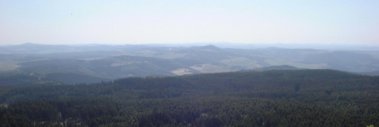
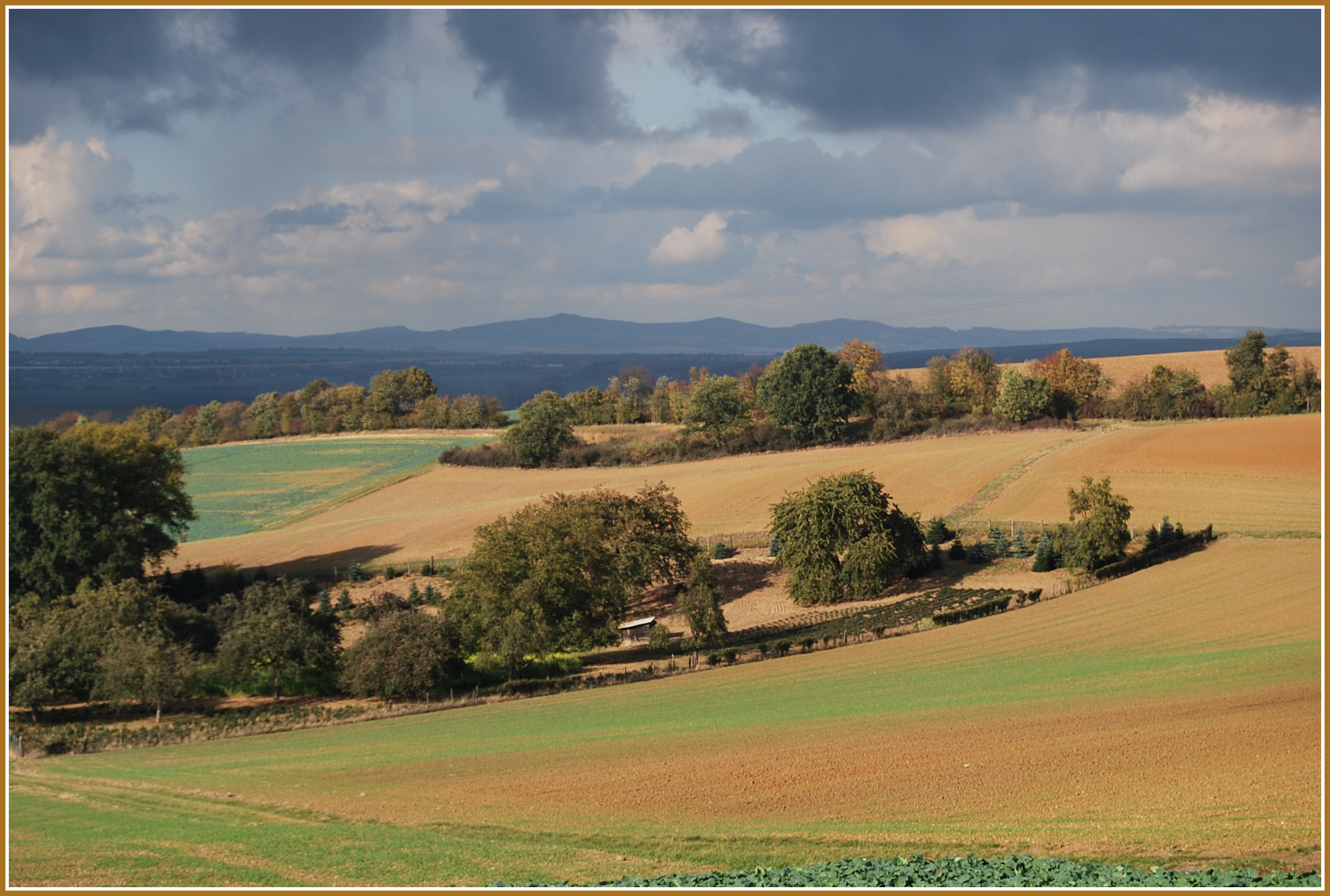
The High Eifel (german: Hocheifel (Ost) or ''Hohe Eifel'') forms part of the Eifel Mountains in the German state of Rhineland-Palatinate. The landscape here between Adenau, Mendig and Daun rises to a height of 747 m. The region is not to be confused with the western ''Hocheifel'', better known as the Schnee Eifel. Nürburg Castle and the famous Nürburgring racing track are located in the northwest of the area. Climate Despite being between 600 m and 700 m high the High Eifel lies in the rain shadow of the Schneifel to the west. Its annual precipitation lies between 800 mm and 1000 mm. Mountains/castles * Hohe Acht (747 m) * Nürburg Castle (678 m) * Hochkelberg (675 m) * Dreiser Höhe (611 m) See also * Maifeld * Pellenz * Vordereifel * Vulkan Eifel The Volcanic Eifel or Vulkan Eifel (german: Vulkaneifel) is a region in the Eifel Mountains in Germany that is defined to a large extent by its volcanic geological history. Characteristic o ... [...More Info...] [...Related Items...] OR: [Wikipedia] [Google] [Baidu] |
Hohe Acht
The Hohe Acht () is the highest mountain ( ) in the Eifel mountains of Germany. It is located on the boundary between the districts of Ahrweiler and Mayen-Koblenz in Rhineland-Palatinate. Geography and geology The Hohe Acht is located in the High Eifel east of Adenau. The mountain is a Tertiary volcano, whose cone is composed of Lower Devonian rock and whose summit is made of basalt. Emperor William Tower In 1908/09 the Emperor William Tower (''Kaiser-Wilhelm-Turm'') was erected on the Hohe Acht. The occasion for the construction of this stone observation tower, based on plans by the architect, Freiherr von Tettau of Berlin, was the silver wedding of Emperor William II and Empress Augusta Victoria as well as the commemoration of Emperor William I The tower is high and its walls are one metre thick at ground level. The work was carried out by master masons, Karl and Johannes Leidinger, from Adenau using local stone. The cost of construction was 18,000 marks. The tower ... [...More Info...] [...Related Items...] OR: [Wikipedia] [Google] [Baidu] |
Pleistocene Volcanism
The Pleistocene ( , often referred to as the ''Ice age'') is the geological epoch that lasted from about 2,580,000 to 11,700 years ago, spanning the Earth's most recent period of repeated glaciations. Before a change was finally confirmed in 2009 by the International Union of Geological Sciences, the cutoff of the Pleistocene and the preceding Pliocene was regarded as being 1.806 million years Before Present (BP). Publications from earlier years may use either definition of the period. The end of the Pleistocene corresponds with the end of the last glacial period and also with the end of the Paleolithic age used in archaeology. The name is a combination of Ancient Greek grc, label=none, πλεῖστος, pleīstos, most and grc, label=none, καινός, kainós (latinized as ), 'new'. At the end of the preceding Pliocene, the previously isolated North and South American continents were joined by the Isthmus of Panama, causing a faunal interchange between the two reg ... [...More Info...] [...Related Items...] OR: [Wikipedia] [Google] [Baidu] |
Landscapes Of Rhineland-Palatinate
A landscape is the visible features of an area of land, its landforms, and how they integrate with natural or man-made features, often considered in terms of their aesthetic appeal.''New Oxford American Dictionary''. A landscape includes the physical elements of geophysically defined landforms such as (ice-capped) mountains, hills, water bodies such as rivers, lakes, ponds and the sea, living elements of land cover including indigenous vegetation, human elements including different forms of land use, buildings, and structures, and transitory elements such as lighting and weather conditions. Combining both their physical origins and the cultural overlay of human presence, often created over millennia, landscapes reflect a living synthesis of people and place that is vital to local and national identity. The character of a landscape helps define the self-image of the people who inhabit it and a sense of place that differentiates one region from other regions. It is the dy ... [...More Info...] [...Related Items...] OR: [Wikipedia] [Google] [Baidu] |
Vulkan Eifel
The Volcanic Eifel or Vulkan Eifel (german: Vulkaneifel) is a region in the Eifel Mountains in Germany that is defined to a large extent by its volcanic geological history. Characteristic of this volcanic field are its typical explosion crater lakes or maars, and numerous other signs of volcanic activity such as volcanic tuffs, lava streams and volcanic craters like the Laacher See. The Volcanic Eifel is still volcanically active today. One sign of this activity is the escaping gases in the Laacher See. Geographical location The Volcanic Eifel stretches from the Rhine to the Wittlich Depression. It is bordered in the south and southwest by the South Eifel, in the west by Luxembourg and Belgian Ardennes and in the north by the North Eifel including the Hohes Venn. To the east the Rhine forms its geographical boundary, with no volcanicity immediately beyond it. The Volcanic Eifel is divided into three natural regions: * Volcanic West Eifel ( Manderscheid, Daun, Gerolstein, Obe ... [...More Info...] [...Related Items...] OR: [Wikipedia] [Google] [Baidu] |
Vordereifel
Vordereifel is a ''Verbandsgemeinde'' ("collective municipality") in the district of Mayen-Koblenz, in Rhineland-Palatinate, Germany. It is situated on the eastern edge of the Eifel, west of Mayen. The seat of the municipality is in Mayen, itself not part of the municipality. The ''Verbandsgemeinde'' Vordereifel consists of the following ''Ortsgemeinden'' ("local municipalities"): References {{Authority control Verbandsgemeinde in Rhineland-Palatinate ... [...More Info...] [...Related Items...] OR: [Wikipedia] [Google] [Baidu] |
Pellenz
The Pellenz is a hill country in the northwestern part of the Middle Rhine Basin in Germany between Mayen in the southwest and Andernach in the northeast. In addition Pellenz is the name of a ''Verbandsgemeinde'' in the state of Rhineland-Palatinate, which covers the north of the landscape of Pellenz and has had its seat since May 2017 in the village of Plaidt (prior to that it was run from Andernach). Geography The settlements of the Pellenz comprise the mainly industrial villages of Ochtendung, Kruft, Nickenich, Plaidt and Kretz (Pellenz Volcanoes or ''Pellenzvulkane'', east) and Niedermendig (today Mendig), Kottenheim, Thür (Pellenz Basin or ''Pellenzsenke'', west) and the Polch which projects into the region of Maifeld (Pellenz Heights or ''Pellenzhöhe'', south). The region lies alongside the A 61 and A 48 motorways and the Pellenz-Eifel Railway. The little river of the Nette flows through the rolling countryside which descends gently from west ... [...More Info...] [...Related Items...] OR: [Wikipedia] [Google] [Baidu] |
Maifeld
The Maifeld is a landscape (a natural region sub-unit) of the Middle Rhine Basin on its western perimeter with the Eifel mountains, southwest of the city of Koblenz. It is known for its gently rolling hills. Location The plain, which lies at about 400 metres above sea level, is divided into the Upper Maifeld (''Obermaifeld'') south of Mayen in the west, and the rather larger Lower Maifeld (''Niedermaifeld'') area which adjoins it to the east, southwest of Koblenz. It is comparatively sharply bounded by the rivers Moselle (southeast) and Elz (southwest), while the River Nette in the northwest only forms an approximate boundary. Its name is probably derived from the Franks, who held assemblies here. Use The Maifeld is almost exclusively used for large-scale grain production. Only a few large farms, which are often hidden between the undulating fields, manage this region. The soils are especially fertile. Towns in the Maifeld are Polch (seat of the Verbandsgemeinde of ... [...More Info...] [...Related Items...] OR: [Wikipedia] [Google] [Baidu] |
Hochkelberg
At the Hochkelberg is one of the ten highest mountains in the Vulkan Eifel in Germany. It is a former stratovolcano, at the southern foot of which lies the Mosbrucher Weiher, an explosion crater lake or maar. Below the summit of the Hochkelberg is a transmission tower. Originally the mountain which is visible today lay 200 metres below the surface. When the region was uplifted the outer layers were carried away leaving the hard basaltic core. The slopes of the Hochkelberg are covered today with dense beech woods with a variety of species. The ruins of Roman Roman or Romans most often refers to: *Rome, the capital city of Italy *Ancient Rome, Roman civilization from 8th century BC to 5th century AD *Roman people, the people of ancient Rome *'' Epistle to the Romans'', shortened to ''Romans'', a lette ... buildings may also be seen here. References {{Reflist Vulkaneifel Mountains and hills of Rhineland-Palatinate Mountains and hills of the Eifel Mountains under 1000 ... [...More Info...] [...Related Items...] OR: [Wikipedia] [Google] [Baidu] |
Nürburg Castle
The Nürburg is a ruined hilltop castle in the German Eifel Mountains near the village of Nürburg south of Adenau in the district of Ahrweiler in the state of Rhineland-Palatinate. It stands within the famous North Loop, or Nordschleife, of the Nürburgring racing course at an altitude of on a volcanic basalt cone. It may be visited for a fee. History The site was first mentioned in the records in 1166 as ''Noureberg'' or ''Mons Nore'', but it is probable that it was already used as a signal station in Roman times to protect the important Roman road that ran through the Eifel. The actual instigator of the Nürburg was Count Ulrich, who, is named in a document from 1169, although his father, Dietrich I of Are had already started the construction of a refuge castle on the mountain. Ulrich's descendants called themselves the lords of Nürburg and Are and were vassals (''Lehnsmänner'') of the bishops of Cologne and the Hohenstaufen emperor. In 1290, ownership of the castle ... [...More Info...] [...Related Items...] OR: [Wikipedia] [Google] [Baidu] |
Schneifel
The Schneifel is a range of low mountains, up to , in the western part of the Eifel in Germany, near the Belgian border. It runs from Brandscheid near Prüm in a northeasterly direction to Ormont. The name Schneifel has nothing to do with the German words ''Schnee'' (snow) and ''Eifel''. It is derived from the former dialect of this region and means something like ''Schneise'' ("swathe"). This swathe ran over the mountains. The term was "Germanised" during the Prussian era and the term Schnee-Eifel ("Snow Eifel") was born, albeit referring to a larger area. Winters in this low mountainous region are unusually cold and snowy for western and parts of central Europe and snow lies here for longer than anywhere else in the Eifel. As a result, the winter sports season is longer here than in the surrounding region. The highest point of the Schneifel is the 699.1-metre-high Schwarze Mann ("Black Man"), which is also the third highest point of the Eifel range after the Hohe Acht and the ... [...More Info...] [...Related Items...] OR: [Wikipedia] [Google] [Baidu] |
Eifel Mountains
The Eifel (; lb, Äifel, ) is a low mountain range in western Germany and eastern Belgium. It occupies parts of southwestern North Rhine-Westphalia, northwestern Rhineland-Palatinate and the southern area of the German-speaking Community of Belgium. The Eifel is part of the Rhenish Massif; within its northern portions lies the Eifel National Park. Geography Location The Eifel lies between the cities of Aachen to the north, Trier to the south and Koblenz to the east. It descends in the northeast along a line from Aachen via Düren to Bonn into the Lower Rhine Bay. In the east and south it is bounded by the valleys of the Rhine and the Moselle. To the west it transitions in Belgium and Luxembourg into the geologically related Ardennes and the Luxembourg Ösling. In the north it is limited by the Jülich-Zülpicher Börde. Within Germany it lies within the states of Rhineland-Palatinate and North Rhine-Westphalia; in the Benelux the area of Eupen, St. Vith and Luxe ... [...More Info...] [...Related Items...] OR: [Wikipedia] [Google] [Baidu] |


