|
Hetton-le-Hole
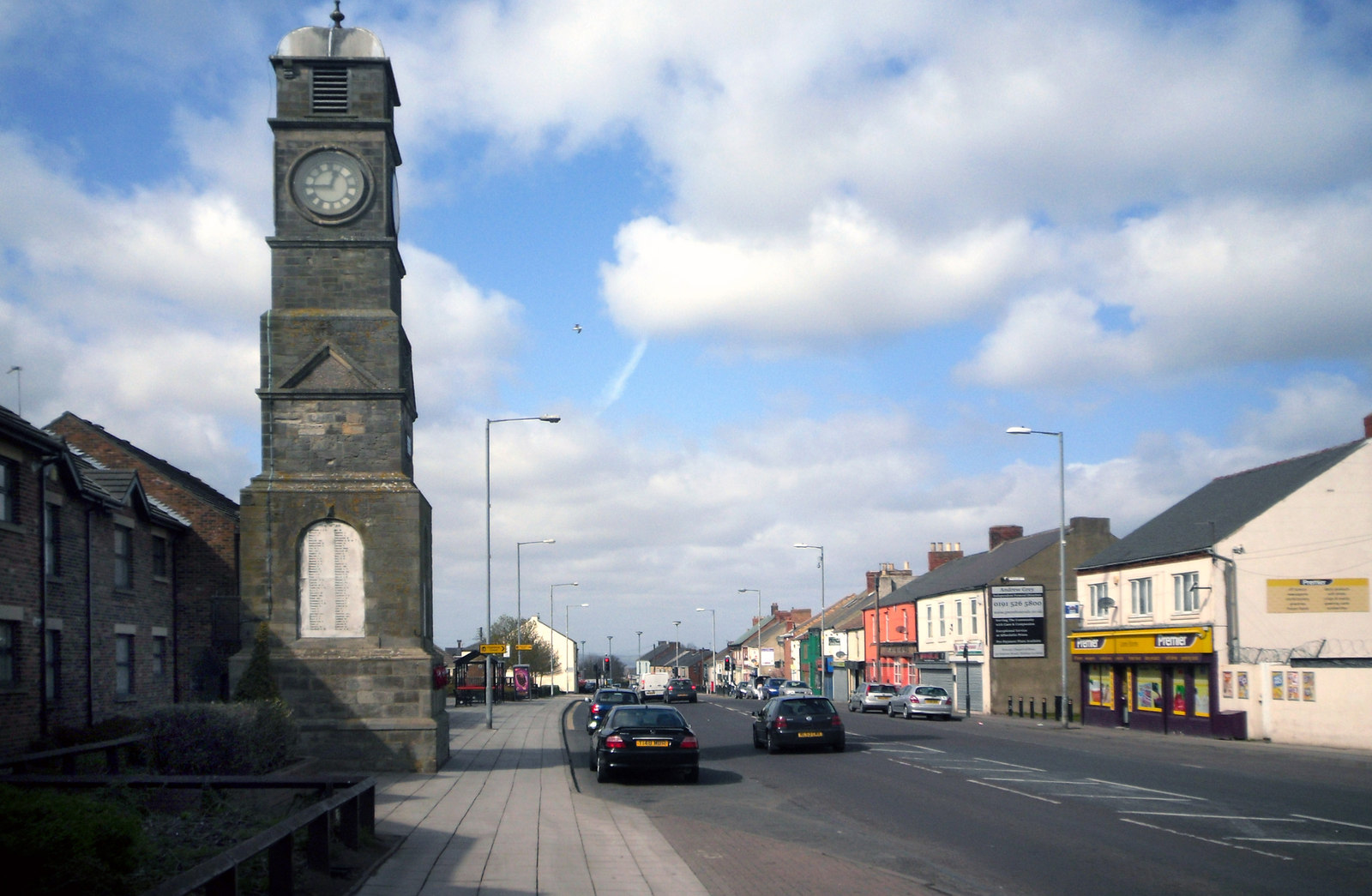
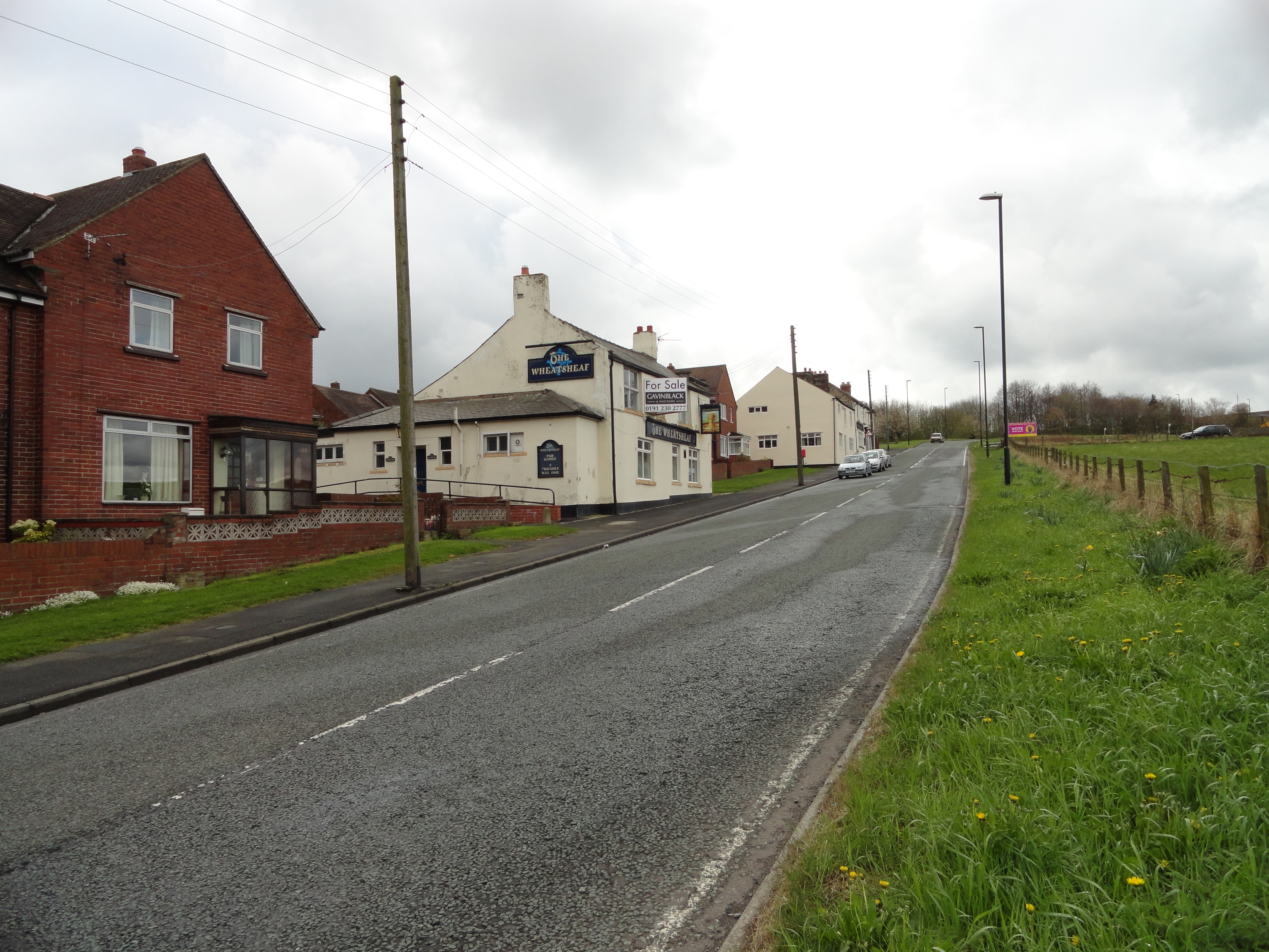
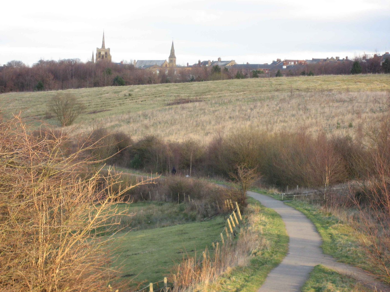
Hetton-le-Hole is a town situated in the City of Sunderland, Tyne and Wear, England. It is in the historic county of Durham. A182 runs through the town, between Houghton-le-Spring and Easington Lane (the latter borders the County Durham District), off the A690 and close to the A1(M). The parish, which includes the villages of Easington Lane and Warden Law, had a population of 14,402 in 2001 . The parish also includes Hetton proper, along with East Rainton, Middle Rainton (West Rainton is a separate parish), Low Moorsley and High Moorsley. Great Eppleton Wind Farm, a wind farm originally of four dual-bladed alternators, provides electricity to the National Grid. The original wind turbines have been replaced by larger three-bladed versions. The turbines are far enough away from local houses not to cause any audible disturbance. History The history of the Hetton area can be traced back for up to a thousand years. The name of Hetton-le-Hole derives from two Anglo-Saxon words ... [...More Info...] [...Related Items...] OR: [Wikipedia] [Google] [Baidu] |
City Of Sunderland
The City of Sunderland () is a metropolitan borough with city status in the metropolitan county of Tyne and Wear, North East England. It is named after its largest settlement, Sunderland, spanning a far larger area, including nearby towns including Washington, Hetton-le-Hole and Houghton-le-Spring, as well as the surrounding suburban villages. The district also forms a large majority of Wearside which includes Chester-le-Street in County Durham. The district was formed in 1974 as part of the provisions of the Local Government Act 1972 and is an amalgamation of four former local government districts of County Durham. It was granted city status in 1992, the Ruby Jubilee of Queen Elizabeth II's accession to the throne. The borough had a population of 275,400 at the time of the 2011 census, with the majority of the population (174,286) residing in Sunderland. History The metropolitan borough was formed in 1974 under the Local Government Act 1972 by the merger of several dist ... [...More Info...] [...Related Items...] OR: [Wikipedia] [Google] [Baidu] |
Easington Lane
Easington Lane is a village in the City of Sunderland metropolitan borough in the county of Tyne and Wear, North East England. Historically part of County Durham and located between Hetton-le-Hole, Seaham, Peterlee and Durham. It had a population of 4,044 at the 2001 Census, increasing to 7.193 at the 2011 Census. Amenities The village contains a small shopping center on the A182 road between Peterlee and Washington and also is home to the parish church of the village, St Michael and All Angels. Transport The village is served by buses operated by Go North East who provided services to Newcastle-upon-Tyne, Sunderland, Peterlee, Washington, Houghton-le-Spring and Hetton-le-Hole The village is also close to the A1(M). The village was served by two railway lines (both of which are now closed). It was served by the Leamside Line and Durham and Sunderland Railway. There were stations at Hetton and Souh Hetton. The nearest active stations to the village are in Chester-le-Street, ... [...More Info...] [...Related Items...] OR: [Wikipedia] [Google] [Baidu] |
Beamish Open Air Museum
Beamish Museum is the first regional open-air museum, in England, located at Beamish, near the town of Stanley, in County Durham, England. Beamish pioneered the concept of a living museum. By displaying duplicates or replaceable items, it was also an early example of the now commonplace practice of museums allowing visitors to touch objects. The museum's guiding principle is to preserve an example of everyday life in urban and rural North East England at the climax of industrialisation in the early 20th century. Much of the restoration and interpretation is specific to the late Victorian and Edwardian eras, together with portions of countryside under the influence of industrial revolution from 1825. On its estate it uses a mixture of translocated, original and replica buildings, a large collection of artifacts, working vehicles and equipment, as well as livestock and costumed interpreters. The museum has received a number of awards since it opened to visitors in 1972 ... [...More Info...] [...Related Items...] OR: [Wikipedia] [Google] [Baidu] |
Tyne And Wear
Tyne and Wear () is a metropolitan county in North East England, situated around the mouths of the rivers Tyne and Wear. It was created in 1974, by the Local Government Act 1972, along with five metropolitan boroughs of Gateshead, Newcastle upon Tyne, Sunderland, North Tyneside and South Tyneside. It is bordered by Northumberland to the north and Durham to the south; the county boundary was formerly split between these counties with the border as the River Tyne. The former county council was based at Sandyford House. There is no longer county level local governance following the county council disbanding in 1986, by the Local Government Act 1985, with the metropolitan boroughs functioning separately. The county still exists as a metropolitan county and ceremonial purposes, as a geographic frame of reference. There are two combined authorities covering parts of the county area, North of Tyne and North East. History In the late 600s and into the 700s Saint Bede lived ... [...More Info...] [...Related Items...] OR: [Wikipedia] [Google] [Baidu] |
Great Eppleton Wind Farm of 8.2 MW.Great Eppleton Wind Farm is a wind farm near Hetton-le-Hole, England. It is owned and operated by E.ON UK. Constructed in 1997, it was notable for originally consisting of twin-bladed turbines, as most wind turbines have three blades. On 29 September, E.ON announced it would replace these with four new REpower MM92 turbines giving a nameplate capacity Nameplate capacity, also known as the rated capacity, nominal capacity, installed capacity, or maximum effect, is the intended full-load sustained output of a facility such as a power station, - - References External links E.ON ... [...More Info...] [...Related Items...] OR: [Wikipedia] [Google] [Baidu] |
Houghton-le-Spring
Houghton-le-Spring ( ) is a town in the City of Sunderland, Tyne and Wear, North East England which has its recorded origins in Norman times. Historically in County Durham, it is now administered as part of the Tyne and Wear county. It is situated almost equidistant between the cathedral city of Durham southwest and Sunderland about northeast. The town of Seaham and the North Sea lie about directly east. The villages and towns of Newbottle, Fencehouses and Hetton-le-Hole lie nearby. It has a population of 36,746. Other villages within the Houghton-le-Spring postal district include: Philadelphia, Penshaw, Shiney Row, Chilton Moor and Woodstone Village. History The earliest mention of the town's name is in the Boldon Book in 1183 as 'Hoctona'. An English transcription states: :''In Houghton are thirteen cottagers, whose tenures, works and payments are like those of Newbotill; and three other half cottagers, who also work like the three half cottagers of Newbotill. Henr ... [...More Info...] [...Related Items...] OR: [Wikipedia] [Google] [Baidu] |
Low Moorsley
Low Moorsley is a small village just outside Hetton-le-Hole in the City of Sunderland, north east England. It was the birthplace of serial killer, Mary Ann Cotton Mary Ann Cotton (' Robson; 31 October 1832 – 24 March 1873) was an English convicted murderer who was executed for poisoning her stepson. Despite her sole conviction for murder, she is believed to have been a serial killer who killed many o ... (1832–1873). References External links Villages in Tyne and Wear {{TyneandWear-geo-stub ... [...More Info...] [...Related Items...] OR: [Wikipedia] [Google] [Baidu] |
High Moorsley
High Moorsley is a small village south-west of Hetton-le-Hole in the City of Sunderland, north east England. It is the site of the first weather radar system in the north-east of England, officially opened in July 2009. High Moorsley Quarry is a Site of Special Scientific Interest for its Permian magnesian limestone The Magnesian Limestone is a suite of carbonate rocks in north-east England dating from the Permian period. The outcrop stretches from Nottingham northwards through Yorkshire and into County Durham where it is exposed along the coast between Ha ... formation. References Villages in Tyne and Wear Sites of Special Scientific Interest in Tyne and Wear City of Sunderland {{TyneandWear-geo-stub ... [...More Info...] [...Related Items...] OR: [Wikipedia] [Google] [Baidu] |
Old English Language
Old English (, ), or Anglo-Saxon, is the earliest recorded form of the English language, spoken in England and southern and eastern Scotland in the early Middle Ages. It was brought to Great Britain by Anglo-Saxon settlers in the mid-5th century, and the first Old English literary works date from the mid-7th century. After the Norman conquest of 1066, English was replaced, for a time, by Anglo-Norman (a relative of French) as the language of the upper classes. This is regarded as marking the end of the Old English era, since during this period the English language was heavily influenced by Anglo-Norman, developing into a phase known now as Middle English in England and Early Scots in Scotland. Old English developed from a set of Anglo-Frisian or Ingvaeonic dialects originally spoken by Germanic tribes traditionally known as the Angles, Saxons and Jutes. As the Germanic settlers became dominant in England, their language replaced the languages of Roman Britain: Common Br ... [...More Info...] [...Related Items...] OR: [Wikipedia] [Google] [Baidu] |
Chester-le-Street
Chester-le-Street (), also known as Chester, is a market town and civil parish in County Durham, England, around north of Durham and also close to Sunderland and Newcastle upon Tyne. It is located on the River Wear, which runs out to sea at Sunderland to the east. The town holds markets on Tuesdays, Fridays and Saturdays. The town's history is ancient, records go back to a Roman-built fort called Concangis. The Roman fort is the "Chester" (from the Latin ''castra'') of the town's name; the "Street" refers to the paved Roman road that ran north–south through the town, now the route called Front Street. The parish church of St Mary and St Cuthbert is where the body of Anglo-Saxon St Cuthbert remained for 112 years before being transferred to Durham Cathedral and site of the first Gospels translation into English, Aldred writing the Old English gloss between the lines of the Lindisfarne Gospels there. From 1894 until 2009, local government districts were governed from the ... [...More Info...] [...Related Items...] OR: [Wikipedia] [Google] [Baidu] |
Stanley, County Durham
Stanley is a former colliery town and civil parish in County Durham, North East England. Centred on a hilltop between Chester-le-Street and Consett, the town lies south west of Gateshead. Stanley was formerly divided into three distinct settlements – the main town of West Stanley and the mining villages of East Stanley and South Stanley. Through a process of gradual expansion, these have become amalgamated into one town, with East and South Stanley no longer officially used as town names (although they are still recognised colloquially). The civil parish of Stanley was created in 2007 and takes in not only Stanley, but the villages of Annfield Plain, Tanfield, Craghead, Catchgate, Tantobie, Tanfield Lea, South Moor, White-le-Head, Bloemfontein, Clough Dene, Greencroft, Harelaw, Kip Hill, The Middles, New Kyo, No Place, Oxhill, Quaking Houses, Shield Row, and West Kyo. The current parish covers the vast majority of the former Stanley Urban District Council area, with the ... [...More Info...] [...Related Items...] OR: [Wikipedia] [Google] [Baidu] |
Houghton And Sunderland South (UK Parliament Constituency)
Houghton and Sunderland South () is a constituency represented in the House of Commons of the UK Parliament since its creation in 2010 by Bridget Phillipson of the Labour Party. In the 2010 and 2015 general elections, it was the first constituency to declare its result, continuing the record of its predecessor seat, Sunderland South, in the four general elections from 1992 to 2005. However, in the 2017 and 2019 general elections, it was beaten by Newcastle upon Tyne Central. Constituency profile Houghton and Sunderland South is a medium density inland area, partly situated on the south banks of the River Wear, which is mostly populated by people of working age, and a minority of the population living in rural villages. The majority of the population historically relied on coal mining, steelworks and shipbuilding from the mid-nineteenth to mid-twentieth centuries on Wearside, with Tyne and Wear at the forefront of some of the earliest Labour Party activity, and several ... [...More Info...] [...Related Items...] OR: [Wikipedia] [Google] [Baidu] |


