|
Henry Newhall
Henry Mayo Newhall (May 13, 1825 – March 13, 1882) was an American businessman whose extensive land holdings became the Southern California communities of Newhall, Saugus and Valencia, and the city of Santa Clarita. Life Born in Saugus, Massachusetts, Henry Newhall came to California, like many others, in search of gold during the California Gold Rush. He had been working as an auctioneer when news of the gold rush reached the East Coast. He left by ship, arriving on the West Coast in 1850. However, he had been forced to stop in the Isthmus of Panama for six months to recover from an illness he contracted. Upon his arrival in San Francisco, many of the good mining sites had already been claimed, so he opened an auction house instead. H.M. Newhall & Company became extremely successful. Newhall's next business interest was railroads. He invested in rail companies that would connect San Francisco to other cities and became president of the San Francisco and San Jose Rail Road. ... [...More Info...] [...Related Items...] OR: [Wikipedia] [Google] [Baidu] |
Saugus, Massachusetts
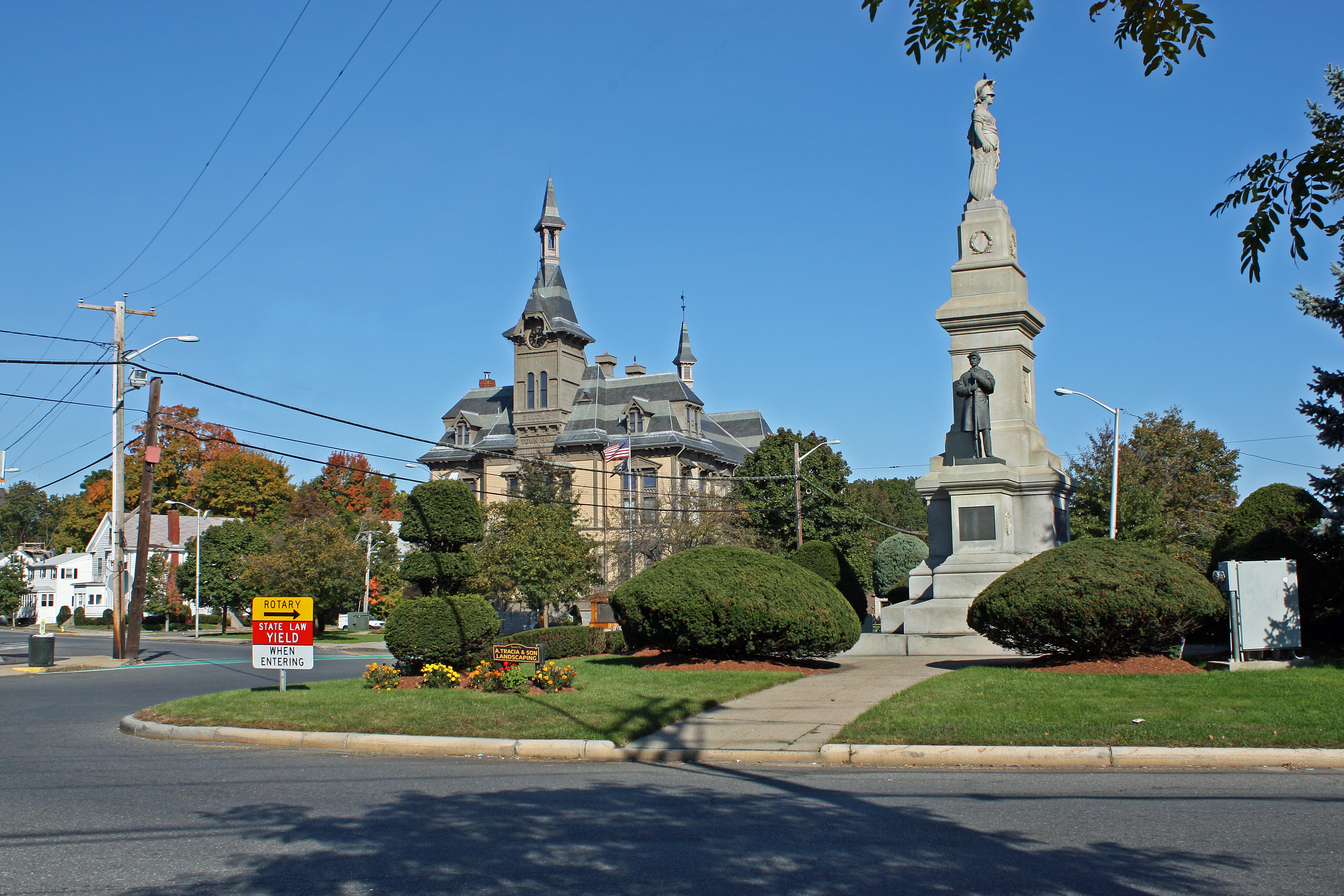
Saugus is a town in Essex County, Massachusetts, United States, in the Greater Boston area. The population was 28,619 at the 2020 census. Saugus is known as the site of the first integrated iron works in North America. History Native Americans inhabited the area around Saugus for thousands of years prior to the arrival of European settlers in the 1620s. At the time of European arrival, the Naumkeag, also known as Pawtucket, under the leadership of Montowampate were based near present day Saugus and controlled land extending from what is now Boston to the Merrimack River. English settlers took the name ''Sagus'' or ''Saugus'' from the Pawtucket word for "outlet," and used the term to refer to the Saugus River and the region that includes the present day cities and towns of Swampscott, Nahant, Lynn, Lynnfield, Reading, North Reading and Wakefield) which were later renamed Lin or Lynn in 1637, after King's Lynn in Norfolk, England. In 1646, the Saugus Iron Works, then called Ham ... [...More Info...] [...Related Items...] OR: [Wikipedia] [Google] [Baidu] |
Rancho Todos Santos Y San Antonio
Rancho Todos Santos y San Antonio was a Mexican land grant in present-day Santa Barbara County, California given in 1841 by Governor Juan B. Alvarado to William Edward Petty Hartnell. The grant extended along San Antonio Creek and encompassed present-day Orcutt., northwest of Lompoc History W. E. P. Hartnell (1798–1854) received the five square league Rancho Todos Santos y San Antonio grant from Alvarado in appreciation of Hartnell’s service as Inspector General of Missions (visitador de misiones) after the secularization of the Missions. In 1841, Hartnell sold his Rancho El Alisal in Monterey County to Governor Alvarado, and moved with his family to Rancho Todos Santos y San Antonio. Hartnell was married to Maria Teresa de la Guerra, the daughter of José de la Guerra y Noriega, the richest and most influential man in the Santa Barbara area at the time. In 1844, Hartnell also obtained the eleven square league Rancho Cosumnes from Governor Manuel Micheltorena. With the ... [...More Info...] [...Related Items...] OR: [Wikipedia] [Google] [Baidu] |
Newhall Ranch
Newhall may refer to: __NOTOC__ Places in England *Newhall, Cheshire *Newhall, Derbyshire * Newhall, Essex, an area within Harlow * Newhall, South Yorkshire, an area within Sheffield in the United States * Newhall, Santa Clarita, California, a district of Santa Clarita that was formerly independent * Newhall, Iowa * Newhall, Washington, a former town on Orcas Island * Newhall, alternate name of the Highwood neighborhood in Hamden, Connecticut, adjacent to the Newhallville neighborhood in New Haven People * Christopher G. Newhall, volcanologist * George Newhall, namesake of the Newhallville neighborhood of New Haven, Connecticut * George H. Newhall, thirty-fifth mayor of Lynn, Massachusetts *Georgina Fraser Newhall (1860s-?), Canadian writer, stenographer *Henry Newhall *William Newhall William Price Newhall (January 30, 1883 – January 3, 1950) was an American cricketer. He played seven first-class matches between 1908 and 1913. Six of these were for the Philadelphian ... [...More Info...] [...Related Items...] OR: [Wikipedia] [Google] [Baidu] |
Tataviam People
The Tataviam (Kitanemuk: ''people on the south slope'') are a Native American group in Southern California. The ancestral land of the Tataviam people includes northwest present-day Los Angeles County and southern Ventura County, primarily in the upper basin of the Santa Clara River, the Santa Susana Mountains, and the Sierra Pelona Mountains. They are distinct from the Kitanemuk and the Gabrielino-Tongva peoples. Their tribal government is based in San Fernando, California, and includes the Executive Branch, the Legislative Branch, the Tribal Senate, and the Council of Elders. The current Tribal President of the Fernandeño Tataviam Band of Mission Indians is Rudy Ortega Jr., who is a descendant of the village of Tochonanga. The Tataviam are a not federally recognized, which has prevented the tribe from being seen as sovereign and erased the identity of tribal members. The tribe has established an ''Acknowledge Rent'' campaign to acknowledge "the financial hardships placed on ... [...More Info...] [...Related Items...] OR: [Wikipedia] [Google] [Baidu] |
Santa Susana Mountains
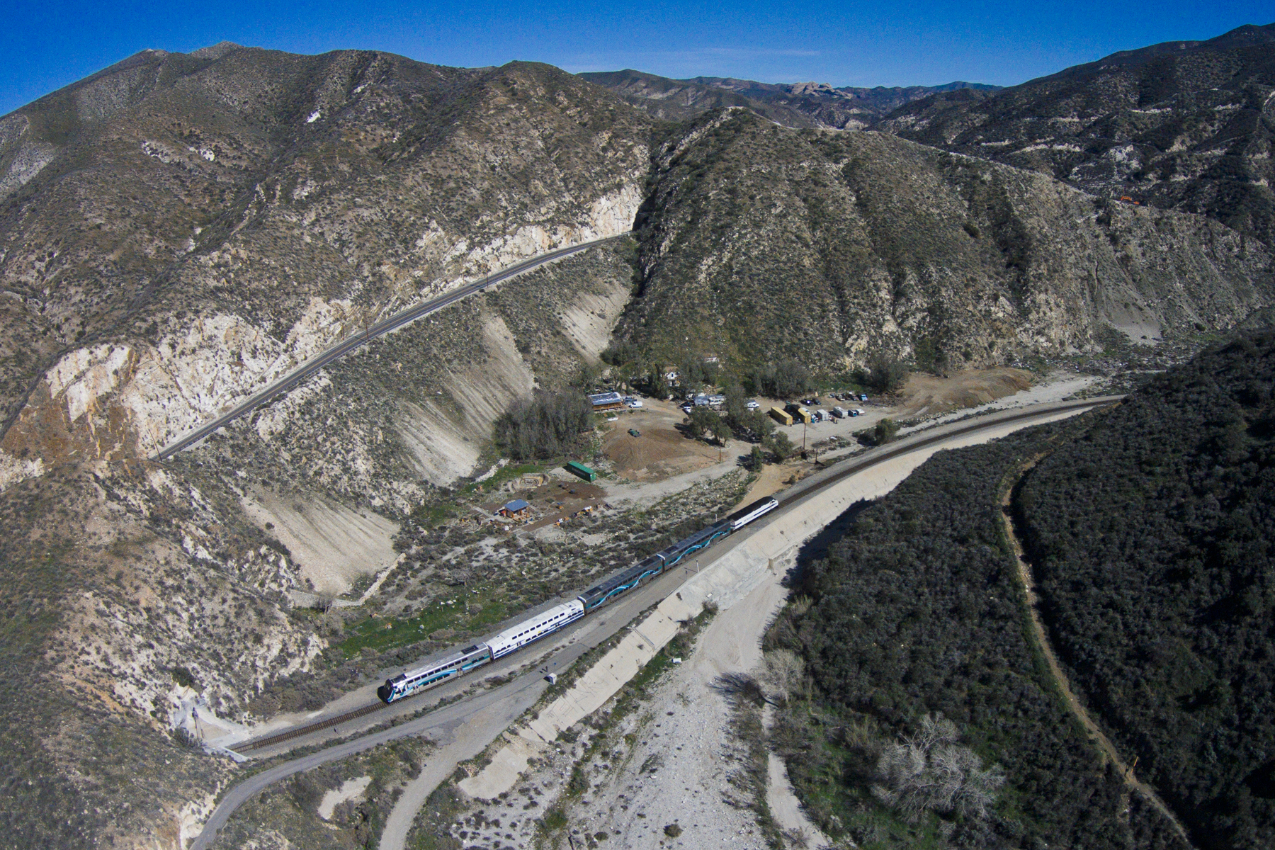
The Santa Susana Mountains are a transverse range of mountains in Southern California, north of the city of Los Angeles, in the United States. The range runs east-west, separating the San Fernando and Simi valleys on its south from the Santa Clara River Valley to the north and the Santa Clarita Valley to the northeast. The Oxnard Plain is to the west of the Santa Susana Mountains. Description Geography The Newhall Pass separates the Santa Susana Mountains from the San Gabriel Mountains to the east. Newhall Pass is the major north-south connection between the San Fernando and Santa Clarita valleys, and Interstate 5 and a railroad line share Newhall Pass. The Santa Susana Pass (containing SR 118) connects the Simi and San Fernando valleys, and separates the Santa Susana Mountains from the Simi Hills to the south. Santa Susana Pass State Historic Park is located in the Simi Hills, just south of the Santa Susana Pass, at the northwestern edge of the San Fernando Valley. The Santa S ... [...More Info...] [...Related Items...] OR: [Wikipedia] [Google] [Baidu] |
Santa Clara River (California)
The Santa Clara River ( es, Río Santa Clara) is an longU.S. Geological Survey. National Hydrography Dataset high-resolution flowline dataThe National Map accessed March 16, 2011 river in Southern California. It drains parts of four ranges in the Transverse Ranges System north and northwest of Los Angeles, then flows west onto the Oxnard Plain and into the Santa Barbara Channel of the Pacific Ocean. The watershed has provided habitat for a wide array of native plants and animals and has historically supplied humans with water, fish, and fertile farmland. The northern portion of the watershed was home to the Tataviam people while the southern portion was occupied by the Chumash people. Much of the Santa Clara River Valley is used for agriculture which has limited the use of structural levees to separate the natural floodplain from the river. Although it is one of the least altered rivers in Southern California, some levees exist where the river flows through areas of significant ... [...More Info...] [...Related Items...] OR: [Wikipedia] [Google] [Baidu] |
Los Angeles County, California
Los Angeles County, officially the County of Los Angeles, and sometimes abbreviated as L.A. County, is the List of the most populous counties in the United States, most populous county in the United States and in the U.S. state of California, with 9,861,224 residents estimated as of 2022. It is the most populous non–State (United States), state-level government entity in the United States. Its population is greater than that of 40 individual List of U.S. states and territories by population, U.S. states. At and with List of cities in Los Angeles County, California, 88 incorporated cities and List of unincorporated communities in Los Angeles County, California, many unincorporated areas, it is home to more than one-quarter of California residents and is one of the most ethnically diverse counties in the United States. Its county seat, Los Angeles, is also California's most populous city and the second-most populous city in the United States, with about 3.9 million residents. I ... [...More Info...] [...Related Items...] OR: [Wikipedia] [Google] [Baidu] |
Santa Clarita Valley
The Santa Clarita Valley (SCV) is part of the upper watershed of the Santa Clara River in Southern California. The valley was part of the Rancho San Francisco Mexican land grant. Located in Los Angeles County, its main population center is the city of Santa Clarita which includes the communities of Canyon Country, Newhall, Saugus, and Valencia. Adjacent unincorporated communities include Castaic, Stevenson Ranch, Val Verde, and the unincorporated parts of Valencia. Etymology The Santa Clara River was named by Spanish explorers for Clare of Assisi. The valley later became known as "little Santa Clara" in deference to the Northern California mission and city of Santa Clara, California. In time, "little Santa Clara" became "Santa Clarita." Geography The Santa Clarita Valley is bordered by the Lake Piru area, including the community of Val Verde, Los Padres National Forest, and Castaic Lake to the northwest, Sierra Pelona Mountains and Angeles National Forest to the nort ... [...More Info...] [...Related Items...] OR: [Wikipedia] [Google] [Baidu] |
Rancho San Francisco
Rancho San Francisco was a land grant in present-day northwestern Los Angeles County and eastern Ventura County, California. It was a grant of by Governor Juan B. Alvarado to Antonio del Valle, a Mexican army officer, in recognition for his service to Alta California. It is not related to the city of San Francisco. The rancho is the location of the first popularly known finding of gold in the Southern California area in 1842, in Placerita Canyon. Much of the present day city of Santa Clarita lies within the boundary of what was Rancho San Francisco. The adobe headquarters of the rancho, and the site of the gold find (known today as the "Oak of the Golden Dream"), are designated California Historical Landmarks. The rancho included portions of the San Gabriel, Santa Susana, Topatopa, and Sierra Pelona Mountain ranges. Early history After Mission San Fernando Rey de España was established in 1797, the administrators there realized they would need more land for agriculture and ... [...More Info...] [...Related Items...] OR: [Wikipedia] [Google] [Baidu] |
Land Grant
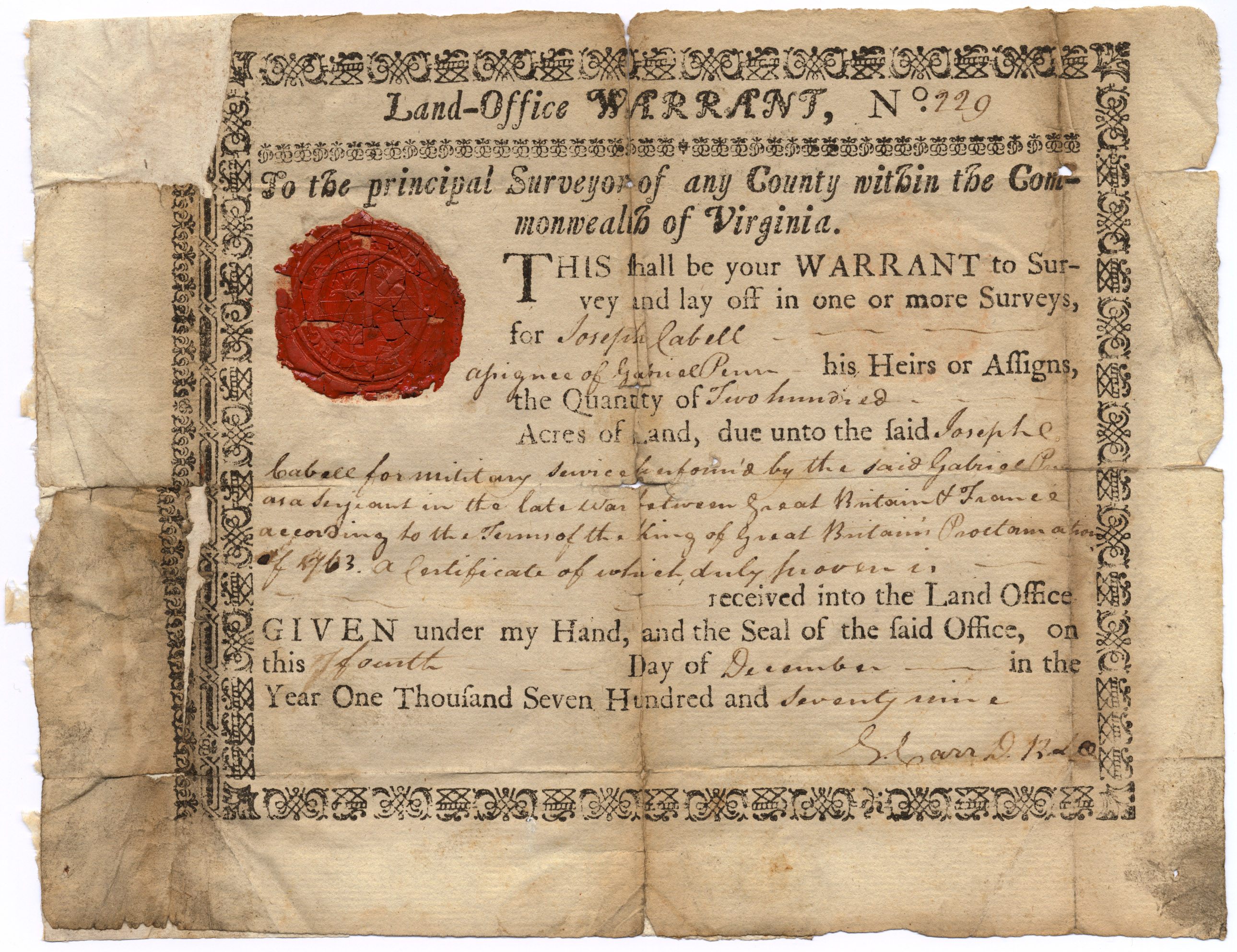
A land grant is a gift of real estate—land or its use privileges—made by a government or other authority as an incentive, means of enabling works, or as a reward for services to an individual, especially in return for military service. Grants of land are also awarded to individuals and companies as incentives to develop unused land in relatively unpopulated countries; the process of awarding land grants are not limited to the countries named below. The United States historically gave out numerous land grants as Homesteads to individuals desiring to prove a farm. The American Industrial Revolution was guided by many supportive acts of legislatures (for example, the Main Line of Public Works legislation of 1826) promoting commerce or transportation infrastructure development by private companies, such as the Cumberland Road turnpike, the Lehigh Canal, the Schuylkill Canal and the many railroads that tied the young United States together. Ancient Rome Roman soldiers were given pe ... [...More Info...] [...Related Items...] OR: [Wikipedia] [Google] [Baidu] |
Monterey County, California
Monterey County ( ), officially the County of Monterey, is a county located on the Pacific coast in the U.S. state of California. As of the 2020 census, its population was 439,035. The county's largest city and county seat is Salinas. Monterey County comprises the Salinas, California, Metropolitan Statistical Area. It borders on the southern part of Monterey Bay, after which it is named. (The northern half of the bay is in Santa Cruz County.) Monterey County is a member of the regional governmental agency: the Association of Monterey Bay Area Governments. Scenic features along the coastline - including Carmel-by-the-Sea, Big Sur, State Route 1, and the 17 Mile Drive on the Monterey Peninsula - have made the county famous around the world. Back when California was under Spanish and Mexican rule, the city of Monterey was its capital. Today, the economy of the county is mostly based on tourism in its coastal regions, and on agriculture in the region of the Salinas Rive ... [...More Info...] [...Related Items...] OR: [Wikipedia] [Google] [Baidu] |
Rancho San Miguelito De Trinidad
Rancho San Miguelito de Trinidad was a Mexican land grant in present day southern Monterey County, California given in 1841 by Governor Juan B. Alvarado to José Rafael Gonzalez. The grant extended along the Nacimiento River and Stony Creek, west of Rancho Milpitas. History With secularization, the lands of the Mission San Antonio de Padua were divided into at least ten Mexican land grants (including Rancho Milpitas (Little Fields), Rancho El Piojo (The Louse), Rancho Los Ojitos (Little Springs), and Rancho San Miguelito de Trinidad). The five square league Rancho San Miguelito de Trinidad was granted to Rafael Gonzales. Rafael Gonzales son, Mauricio Gonzales, was the grantee of Rancho Cholame. With the cession of California to the United States following the Mexican-American War, the 1848 Treaty of Guadalupe Hidalgo provided that the land grants would be honored. As required by the Land Act of 1851, a claim for Rancho San Miguelito de Trinidad was filed with the Public Lan ... [...More Info...] [...Related Items...] OR: [Wikipedia] [Google] [Baidu] |


.jpg)


.jpg)