|
Henry Hudson Parkway
The Henry Hudson Parkway is a parkway in New York City. The southern terminus is in Manhattan at 72nd Street, where the parkway continues south as the West Side Highway. It is often erroneously referred to as the West Side Highway throughout its entire course in Manhattan. The northern terminus is at the Bronx– Westchester county boundary, where it continues north as the Saw Mill River Parkway. All but the northernmost mile of the road is co-signed as New York State Route 9A (NY 9A). In addition, the entirety of the parkway is designated New York State Route 907V (NY 907V), an unsigned reference route. The owners of the parkway are the New York State Department of Transportation, New York City Department of Transportation, New York City Department of Parks and Recreation, Metropolitan Transportation Authority, Amtrak, and Port Authority of New York and New Jersey. The Henry Hudson Parkway was created by the Henry Hudson Parkway Authority, which was run by "mast ... [...More Info...] [...Related Items...] OR: [Wikipedia] [Google] [Baidu] |
New York State Route 9A
New York State Route 9A (NY 9A) is a state highway in the vicinity of New York City in the United States. Its southern terminus is at Battery Place near the northern end of the Brooklyn–Battery Tunnel in New York City, where it intersects with both the unsigned Interstate 478 (I-478) and FDR Drive. The northern terminus of NY 9A is at U.S. Route 9 (US 9) in Peekskill. It is predominantly an alternate route of US 9 between New York City and Peekskill; however, in New York City, it is a major route of its own as it runs along the West Side Highway and Henry Hudson Parkway. It is also one of only two signed New York State routes in Manhattan (the other is NY 25). In northern Westchester County, NY 9A follows the Briarcliff–Peekskill Parkway. The origins of NY 9A date back to the 1920s when an alternate route of then- NY 6 from Yonkers to Tarrytown was designated as NY 6A. NY 6 was redesignated as US 9 in 192 ... [...More Info...] [...Related Items...] OR: [Wikipedia] [Google] [Baidu] |
Reference Route (New York)
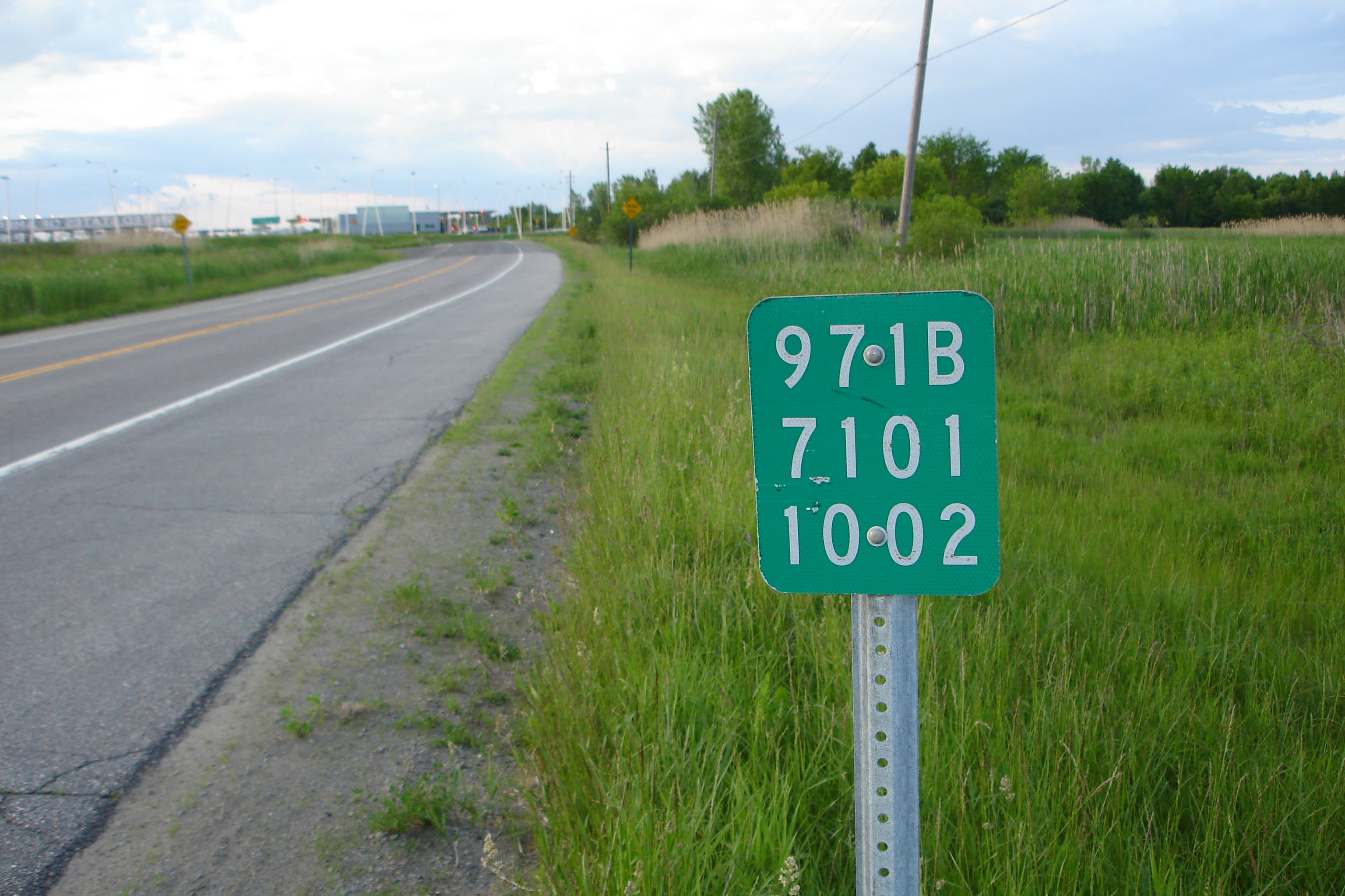
A reference route is an unsigned highway assigned by the New York State Department of Transportation (NYSDOT) to roads that possess a signed name (mainly parkways), that NYSDOT has determined are too minor to have a signed touring route number, or are former touring routes that are still state-maintained. The majority of reference routes are owned by the state of New York and maintained by NYSDOT; however, some exceptions exist. The reference route designations are normally posted on reference markers, small green signs located every tenth-mile on the side of the road, though a few exceptions exist to this practice as well. Reference route numbers are always three digit numbers in the 900s with a single alphabetic suffix. The designations are largely assigned in numerical and alphabetical order within a region, and designations are not reused once they are removed. Certain letters are avoided, such as "I" (used to indicate Interstate Highways and potential confusion with the numb ... [...More Info...] [...Related Items...] OR: [Wikipedia] [Google] [Baidu] |
Inwood Hill Park
Inwood Hill Park is a public park in the Inwood neighborhood of Manhattan, New York City, operated by the New York City Department of Parks and Recreation. On a high schist ridge that rises above the Hudson River from Dyckman Street to the northern tip of the island, Inwood Hill Park's densely folded, glacially scoured topography contains the largest remaining old-growth forest on Manhattan Island, known as the Shorakapok Preserve after an historic Wecquaesgeek village. Unlike other Manhattan parks, Inwood Hill Park is largely natural and consists of mostly wooded, non-landscaped hills. History Site Inwood Hill Park has a human history that goes back to the Pre-Columbian era. Through the 17th century, Native Americans known as the Wecquaesgeek inhabited the area. There is evidence of a main encampment along the eastern edge of the park, known as the village of Shorakapok. The Wecquaesgeek relied on both the Hudson and Harlem Rivers as sources for food. Artifacts and the ... [...More Info...] [...Related Items...] OR: [Wikipedia] [Google] [Baidu] |
Fort Tryon Park
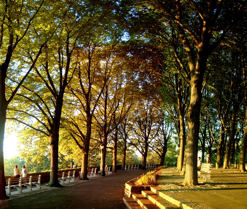
Fort Tryon Park is a public park located in the Hudson Heights and Inwood neighborhoods of the borough of Manhattan in New York City. The park is situated on a ridge in Upper Manhattan, close to the Hudson River to the west. It extends mostly from 192nd Street in the south to Riverside Drive in the north, and from Broadway in the east to the Henry Hudson Parkway in the west. The main entrance to the park is at Margaret Corbin Circle, at the intersection of Fort Washington Avenue and Cabrini Boulevard. The area was known by the local Lenape tribe as ''Chquaesgeck'' and by Dutch settlers as ''Lange Bergh'' (Long Hill). During the American Revolutionary War, the Battle of Fort Washington was fought at the site of the park on November 16, 1776. The area remained sparsely populated during the 19th century, but by the turn of the 20th century, it was the location of large country estates. Beginning in January 1917, philanthropist John D. Rockefeller, Jr., bought up the "Tryon Ha ... [...More Info...] [...Related Items...] OR: [Wikipedia] [Google] [Baidu] |
Fort Washington Park (New York City)
Fort Washington Park is a public park located in the Washington Heights section of Upper Manhattan in New York City. It runs along the banks of the Hudson River next to Riverside Drive and the Henry Hudson Parkway from West 155th Street to Dyckman Street. The George Washington Bridge crosses above the park, and below the bridge is the small point of land also called Jeffrey's Hook, which is the site of the Little Red Lighthouse. The park features riverside views of the New Jersey Palisades and the George Washington Bridge. Amenities include pedestrian and greenway paths, baseball fields, basketball courts, tennis courts, volleyball courts, a soccer field and a playground. Etymology The name references the nearby site of Fort Washington, a fortified position that was the site of the 1776 Battle of Fort Washington during the American Revolutionary War. The fort is physically located and commemorated in Bennett Park. Geography Fort Washington Park covers . It is bounde ... [...More Info...] [...Related Items...] OR: [Wikipedia] [Google] [Baidu] |
George Washington Bridge
The George Washington Bridge is a double-decked suspension bridge spanning the Hudson River, connecting Fort Lee, New Jersey, with Manhattan in New York City. The bridge is named after George Washington, the first president of the United States. The George Washington Bridge is the world's busiest motor vehicle bridge, carrying over 103million vehicles . It is owned by the Port Authority of New York and New Jersey, a bi-state government agency that operates infrastructure in the Port of New York and New Jersey. The George Washington Bridge is also informally known as the GW Bridge, the GWB, the GW, or the George, and was known as the Fort Lee Bridge or Hudson River Bridge during construction. The George Washington Bridge measures long and has a main span of . It was the longest main bridge span in the world from its 1931 opening until the Golden Gate Bridge opened in 1937. The George Washington Bridge is an important travel corridor within the New York metropolitan area. ... [...More Info...] [...Related Items...] OR: [Wikipedia] [Google] [Baidu] |
Interstate 95 In New York
Interstate 95 (I-95) is part of the Interstate Highway System and runs from Miami, Florida, to the Canada–United States border near Houlton, Maine. In the U.S. state of New York, I-95 extends from the George Washington Bridge in New York City to the Connecticut state line at Port Chester. The George Washington Bridge carries I-95 across the Hudson River from New Jersey into New York City. There, I-95 runs across upper Manhattan on the Trans-Manhattan Expressway for through Washington Heights. It continues east across the Harlem River on the Alexander Hamilton Bridge and onto the Cross Bronx Expressway. In the Bronx, I-95 leaves the Cross Bronx at the Bruckner Interchange, joining the Bruckner Expressway to its end. North of the interchange with Pelham Parkway, it then continues northeast via the New England Thruway (which is part of the New York State Thruway system) out of New York City into Westchester County and to the Connecticut state line, where I-95 continues ... [...More Info...] [...Related Items...] OR: [Wikipedia] [Google] [Baidu] |
Trans-Manhattan Expressway
Interstate 95 (I-95) is part of the Interstate Highway System and runs from Miami, Florida, to the Canada–United States border near Houlton, Maine. In the U.S. state of New York, I-95 extends from the George Washington Bridge in New York City to the Connecticut state line at Port Chester. The George Washington Bridge carries I-95 across the Hudson River from New Jersey into New York City. There, I-95 runs across upper Manhattan on the Trans-Manhattan Expressway for through Washington Heights. It continues east across the Harlem River on the Alexander Hamilton Bridge and onto the Cross Bronx Expressway. In the Bronx, I-95 leaves the Cross Bronx at the Bruckner Interchange, joining the Bruckner Expressway to its end. North of the interchange with Pelham Parkway, it then continues northeast via the New England Thruway (which is part of the New York State Thruway system) out of New York City into Westchester County and to the Connecticut state line, where I-95 continues on ... [...More Info...] [...Related Items...] OR: [Wikipedia] [Google] [Baidu] |
West Side Elevated Highway
The West Side Elevated Highway (West Side Highway or Miller Highway, named for Julius Miller, Manhattan borough president from 1922 to 1930) was an elevated section of New York State Route 9A (NY 9A) running along the Hudson River in the New York City borough of Manhattan to the tip of the island. It was an elevated highway, one of the first urban freeways in the world, and served as a prototype for urban freeways elsewhere, including Boston's Central Artery. Built between 1929 and 1951, the highway had narrow confines—which could not accommodate trucks—and sharp S exit ramps that made it obsolete almost immediately. Maintenance was minimal, and the use of corrosive salts to de-ice the highway in winter accelerated its decay. When chunks of its facade began to fall off due to lack of maintenance, and a truck and car fell through it at 14th Street in 1973, the highway was shut down, and a debate began over whether to renovate it or dismantle it. Attitudes to urban planning ... [...More Info...] [...Related Items...] OR: [Wikipedia] [Google] [Baidu] |
H H Parkway
H, or h, is the eighth letter in the Latin alphabet, used in the modern English alphabet, the alphabets of other western European languages and others worldwide. Its name in English is ''aitch'' (pronounced , plural ''aitches''), or regionally ''haitch'' ."H" ''Oxford English Dictionary,'' 2nd edition (1989); ''Merriam-Webster's Third New International Dictionary of the English Language, Unabridged'' (1993); "aitch" or "haitch", op. cit. History The original Semitic letter Heth most likely represented the voiceless pharyngeal fricative (). The form of the letter probably stood for a fence or posts. The Greek Eta 'Η' in archaic Greek alphabets, before coming to represent a long vowel, , still represented a similar sound, the voiceless glottal fricative . In this context, the letter eta is also known as Heta to underline this fact. Thus, in the Old Italic alphabets, the letter Heta of the Euboean alphabet was adopted with its original sound value . While Etruscan and La ... [...More Info...] [...Related Items...] OR: [Wikipedia] [Google] [Baidu] |
Henry Hudson Parkway Heading Towards George Washington Bridge November 2013
Henry may refer to: People *Henry (given name) *Henry (surname) * Henry Lau, Canadian singer and musician who performs under the mononym Henry Royalty * Portuguese royalty ** King-Cardinal Henry, King of Portugal ** Henry, Count of Portugal, Henry of Burgundy, Count of Portugal (father of Portugal's first king) ** Prince Henry the Navigator, Infante of Portugal ** Infante Henrique, Duke of Coimbra (born 1949), the sixth in line to Portuguese throne * King of Germany **Henry the Fowler (876–936), first king of Germany * King of Scots (in name, at least) ** Henry Stuart, Lord Darnley (1545/6–1567), consort of Mary, queen of Scots ** Henry Benedict Stuart, the 'Cardinal Duke of York', brother of Bonnie Prince Charlie, who was hailed by Jacobites as Henry IX * Four kings of Castile: **Henry I of Castile **Henry II of Castile **Henry III of Castile **Henry IV of Castile * Five kings of France, spelt ''Henri'' in Modern French since the Renaissance to italianize the name and to ... [...More Info...] [...Related Items...] OR: [Wikipedia] [Google] [Baidu] |
Robert Moses
Robert Moses (December 18, 1888 – July 29, 1981) was an American urban planner and public official who worked in the New York metropolitan area during the early to mid 20th century. Despite never being elected to any office, Moses is regarded as one of the most powerful individuals in the history of the New York City and State governments. The grand scale of his infrastructural projects and his philosophy of urban development influenced a generation of engineers, architects, and urban planners across the United States. Moses held various positions throughout his more than forty-year long career. He at times held up to 12 titles simultaneously, including New York City Parks Commissioner and Chairman of the Long Island State Park Commission. Having worked closely with New York Governor Al Smith early in his career, Moses became expert in writing laws and navigating and manipulating the inner workings of state government. He created and led numerous semi-autonomous public autho ... [...More Info...] [...Related Items...] OR: [Wikipedia] [Google] [Baidu] |


