|
Harwood, Greater Manchester
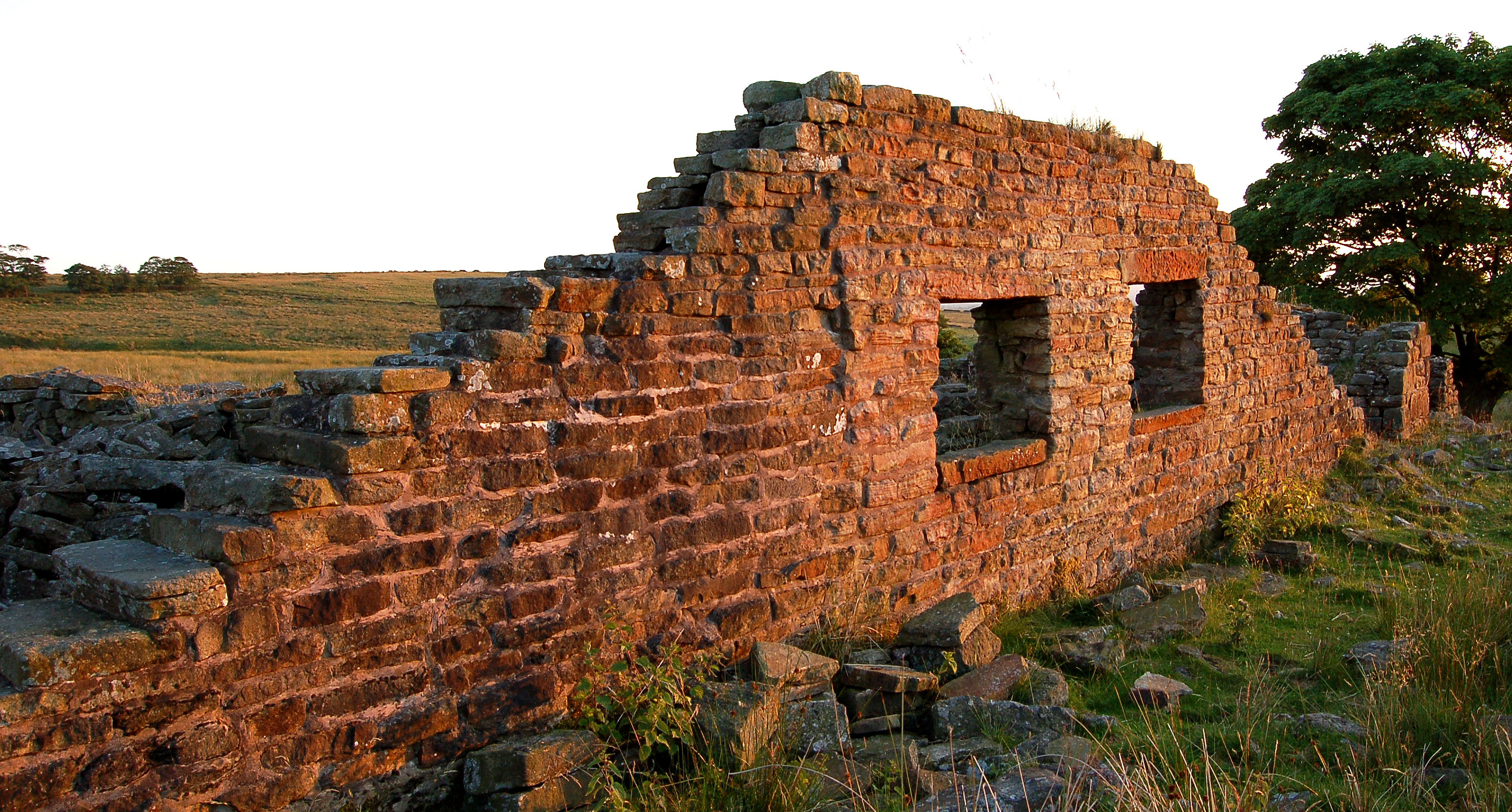
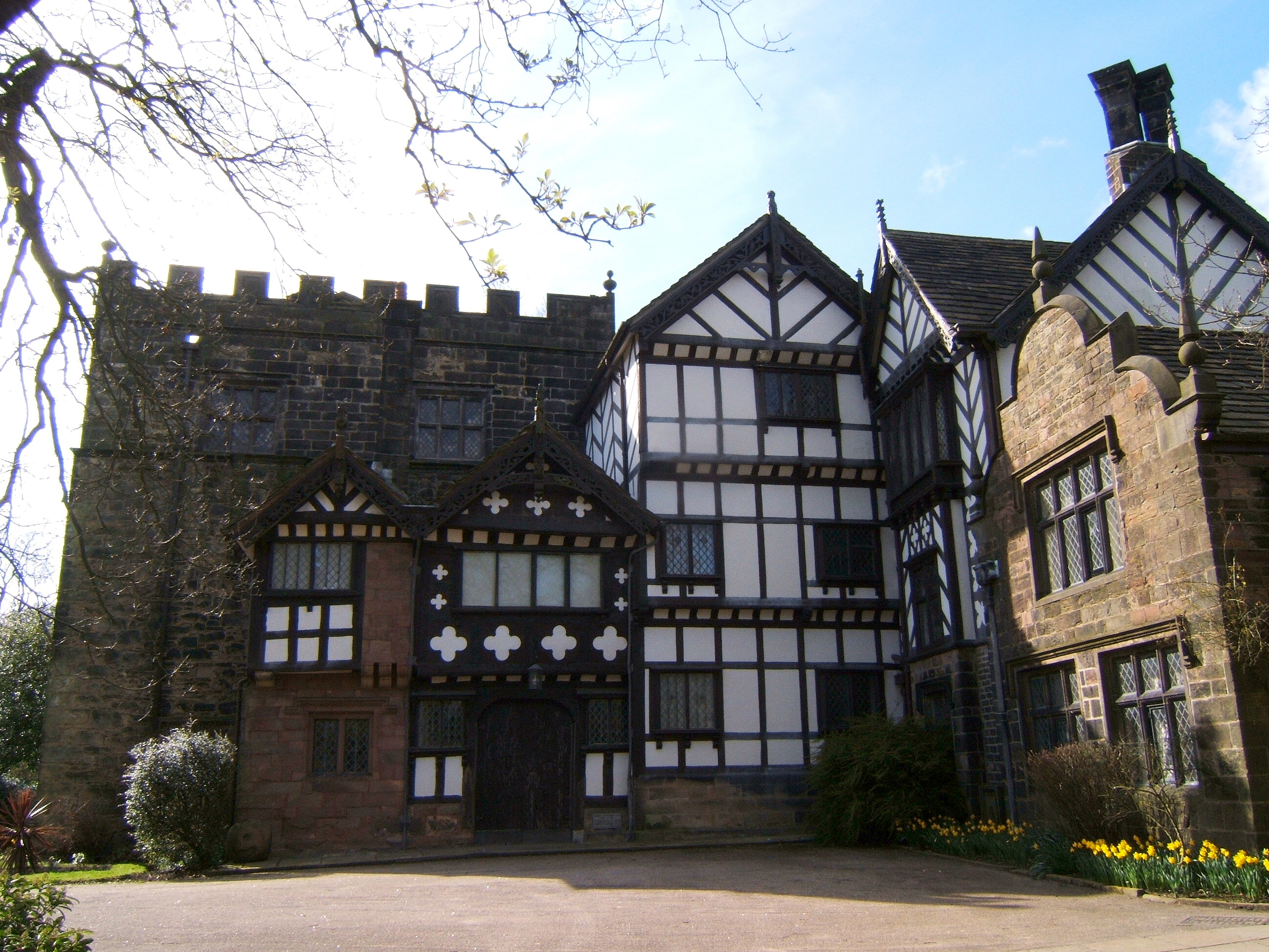
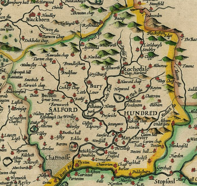
Harwood is a suburb to the north-northeast of Bolton, Greater Manchester, bordering Bury in North West England. Harwood is also part of the historic county of Lancashire. History The township was recorded as Harewode in 1212 and 1302. The manor which included Bradshaw, was part of the Manchester fee held by the Grelleys in the Middle Ages. In 1212 it was divided, the parts held by Roger de Samlesbury and Alexander de Harwood. The Samlesbury portion descended in the same way as Breightmet and the Harwood portion to the Traffords of Trafford who sold it in 1589 and afterwards much divided. The Radcliffes and Bartons of Smithills Hall held land in Harwood for many generations and Adam Mort of Astley held a messuage and a fulling mill in 1630. In 1612, Sir Nicholas Mosley and his son, Edward, conveyed the manor of Harwood to a partnership of five yeomen; Matthew Harrison, Henry Haworth, Raufe Higson, Lawrence Horrocks and Edward Greenhalgh. In the Hearth tax returns of 1666, forty- ... [...More Info...] [...Related Items...] OR: [Wikipedia] [Google] [Baidu] |
Metropolitan Borough Of Bolton
'')'' , image_skyline =Bolton Town Hall.jpg , imagesize = 250px , image_caption = Bolton Town Hall, the seat of Bolton Council , image_blank_emblem = Coat of arms of Bolton Metropolitan Borough Council.png , blank_emblem_type = Coat of Arms of the Metropolitan Borough Council , blank_emblem_size = 150px , blank_emblem_link = , image_map = Bolton UK locator map.svg , map_caption = Bolton shown within Greater Manchester , subdivision_type = Sovereign state , subdivision_name = United Kingdom , subdivision_type1 = Constituent country , subdivision_name1 = England , subdivision_type2 = Region , subdivision_name2 = North West England , subdivision_type3 = Ceremonial county , subdivision_name3 = Greater Manchester , subdivision_type5 = Historic county , subdivision_name5 = Salford Hundred, Lancashire , subdivision_type4 = Admin HQ , subdivision_name4 = Bolton Town Hall , government_footnotes = , government_type = Metropolitan borough , leader_title = Governing body , leader_na ... [...More Info...] [...Related Items...] OR: [Wikipedia] [Google] [Baidu] |
Nicholas Mosley (mayor)
Sir Nicholas Mosley (''c.'' 1527 – 12 December 1612), also spelt Mosly and Moseley, was a manufacturer of woolen cloth, who subsequently became lord of the manor of Manchester, and a Lord Mayor of London for the year 1599 to 1600. Nicholas Mosley was born in or near Manchester in c. 1527, supposedly the eldest son of Edward Moseley and his wife Margaret Moseley (née Elcock). With his younger brothers, Oswald (1534-1621), Francis (1535-1570), and Anthonie (1537-1607), he appears to have initiated what became a highly successful business as a woolen manufacturer and merchant. By the early 1550s, Mosley had moved from Manchester to London as a step in the expansion of the business. Mosley went on to become a city of London merchant and a member of the Worshipful Company of Clothworkers. In London (on 20 February 1553) Mosley married Margery Whitbroke at All Hallows, Honey Lane, in the City of London. They were to have a total of nine known children, of whom the youngest, Edward, ... [...More Info...] [...Related Items...] OR: [Wikipedia] [Google] [Baidu] |
Coal Measures
In lithostratigraphy, the coal measures are the coal-bearing part of the Upper Carboniferous System. In the United Kingdom, the Coal Measures Group consists of the Upper Coal Measures Formation, the Middle Coal Measures Formation and the Lower Coal Measures Formation. The group records the deposition of fluvio-deltaic sediments which consists mainly of clastic rocks (claystones, shales, siltstones, sandstones, conglomerates) interstratified with the beds of coal. In most places, the coal measures are underlain by coarser clastic sequences known as Millstone Grit, of Namurian age. The top of the coal measures may be marked by an unconformity, the overlying rocks being Permian or later in age. In some parts of Britain, however, the coal measures grade up into mainly coal-barren red beds of late Westphalian and possibly Stephanian age. Within the Pennine Basin these barren measures are now referred to as the Warwickshire Group, from the district where they achieve their thickest d ... [...More Info...] [...Related Items...] OR: [Wikipedia] [Google] [Baidu] |
Tonge With Haulgh
Tonge with Haulgh was a township of the civil and ecclesiastical parish of Bolton le Moors in the Salford hundred of Lancashire, England. History Toponymy The first part of the township, Tonge, as its name implies, is located on the tongue of land between the River Tonge and Bradshaw Brook, which was derived from the Old English ''tang'' or ''twang'' meaning a fork in a river. The second part of the township, Haulgh, is derived from the Old English ''halh'' meaning a plot of flat alluvial land by a river. Governance Historically, Tonge with Haulgh formed part of the Hundred of Salford, a judicial division of southwest Lancashire. It was one of the townships that made up the ancient ecclesiastical parish of Bolton le Moors. Under provisions of the Poor Relief Act 1662, townships replaced civil parishes as the main units of local administration in Lancashire. Tonge with Haulgh became one of the eighteen autonomous townships of the civil parish of Bolton le Moors. In 1837, ... [...More Info...] [...Related Items...] OR: [Wikipedia] [Google] [Baidu] |
Bradshaw Brook
Bradshaw Brook is a river draining parts of Lancashire and Greater Manchester in Northern England. Starting life as Cadshaw Brook draining a valley named Green Lowe Clough on Turton Moor, the brook feeds the Turton and Entwistle Reservoir and Wayoh Reservoir (the latter also fed by Blackstone Brook and Whittlestone Head Brook). From there, the river traverses Turton Bottoms and passes Chapeltown before feeding Jumbles Reservoir (along with Hazelhurst Brook). Bradshaw Brook then passes Bromley Cross and Bradshaw on its way to meet the River Tonge at Leverhulme Park east of Bolton Bolton (, locally ) is a large town in Greater Manchester in North West England, formerly a part of Lancashire. A former mill town, Bolton has been a production centre for textiles since Flemish weavers settled in the area in the 14th .... Local nature reserve Upper Bradshaw Valley local nature reserve is in the wooded valley of the Bradshaw Brook. The woodlands are native broadleaf ... [...More Info...] [...Related Items...] OR: [Wikipedia] [Google] [Baidu] |
West Pennine Moors
The West Pennine Moors is an area of the Pennines covering approximately of moorland and Reservoir (water), reservoirs in Lancashire and Greater Manchester, England. It is a Site of Special Scientific Interest. The West Pennine Moors are separated from the main Pennine range by the Irwell Valley to the east. The moorland includes Withnell, Anglezarke and Rivington Moors in the extreme west, Darwen and Turton Moors, Oswaldtwistle#Oswaldtwistle Moor, Oswaldtwistle Moors and Holcombe Moors. These moors are lower in height than the main spine of the South Pennines. At , the highest point is at Winter Hill (North West England), Winter Hill. The area is of historical importance with archaeological evidence of human activity from Neolithic times. The area is close to urban areas, the dramatic backdrop to Bolton, Blackburn and Bury, Greater Manchester, Bury and neighbouring towns affording panoramic views across the Lancashire Plain and the Greater Manchester conurbation. The moorland is ... [...More Info...] [...Related Items...] OR: [Wikipedia] [Google] [Baidu] |
Turton Urban District
Turton Urban District was, from 1873 to 1974, a local government district centred on the historical area of Turton in the administrative county of Lancashire, England. History Background Turton was a township and chapelry of the civil and ecclesiastical parish of Bolton le Moors in the Salford Hundred of Lancashire. In 1837, Turton became part of the Bolton Poor Law Union which took responsibility for funding the Poor Law within that Union area. In 1866, Turton was given the status of a civil parish. Formation A resolution for the adoption of the Local Government Act 1858 was passed on 8 August 1872 by the owners and ratepayers of the township of Turton, and the following year a local board was formed to govern the area. After the Public Health Act 1875 was passed by Parliament in that year, Turton Local Board assumed extra duties as an urban sanitary district, although the Local Board's title did not change. Change In 1895, following the implementation of the Local Governm ... [...More Info...] [...Related Items...] OR: [Wikipedia] [Google] [Baidu] |
Poor Law
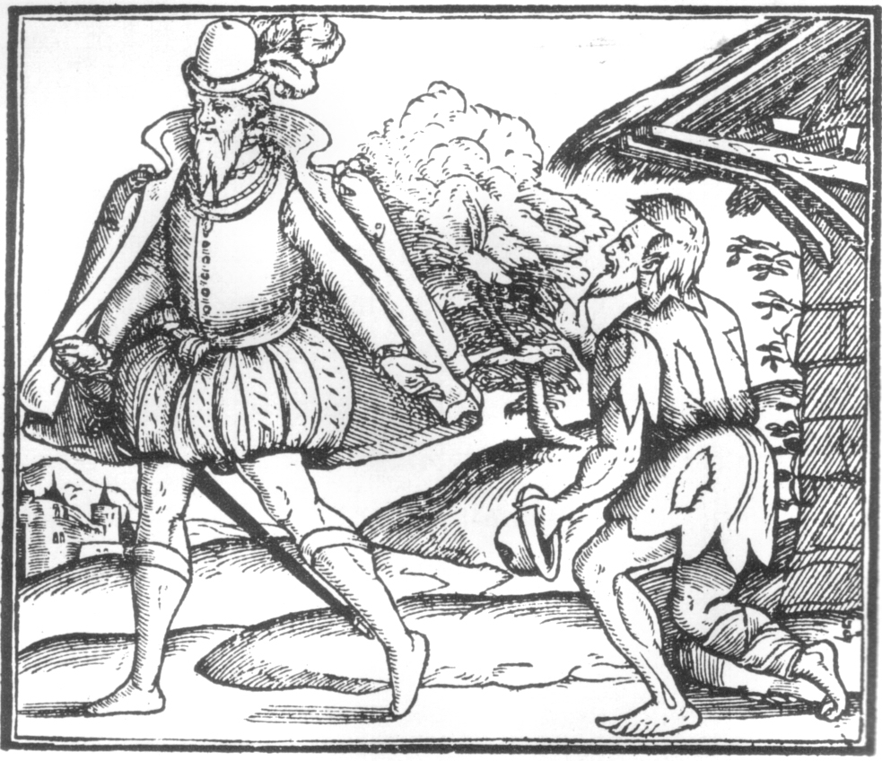
In English and British history, poor relief refers to government and ecclesiastical action to relieve poverty. Over the centuries, various authorities have needed to decide whose poverty deserves relief and also who should bear the cost of helping the poor. Alongside ever-changing attitudes towards poverty, many methods have been attempted to answer these questions. Since the early 16th century legislation on poverty enacted by the English Parliament, poor relief has developed from being little more than a systematic means of punishment into a complex system of government-funded support and protection, especially following the creation in the 1940s of the welfare state. Tudor era In the late 15th century, parliament took action on the growing problem of poverty, focusing on punishing people for being "vagabonds" and for begging. In 1495, during the reign of King Henry VII, Parliament enacted the Vagabond Act. This provided for officers of the law to arrest and hold "all such ... [...More Info...] [...Related Items...] OR: [Wikipedia] [Google] [Baidu] |
Salford (hundred)
The Salford Hundred (also known as Salfordshire) was one of the subdivisions of the historic county of Lancashire, in Northern England (see:Hundred (county division). Its name alludes to its judicial centre being the township of Salford (the suffix ''-shire'' meaning the territory was appropriated to the prefixed settlement). It was also known as the Royal Manor of Salford and the Salford wapentake.. Origins The Manor or Hundred of Salford had Anglo-Saxon origins. The ''Domesday Book'' recorded that the area was held in 1066 by Edward the Confessor. Salford was recorded as part of the territory of ''Inter Ripam et Mersam'' or "Between Ribble and Mersey", and it was included with the information about Cheshire, though it cannot be said clearly to have been part of Cheshire. The area became a subdivision of the County Palatine of Lancaster (or Lancashire) on its creation in 1182. Salford Hundred Court In spite of its incorporation into Lancashire, Salford Hundred retained a se ... [...More Info...] [...Related Items...] OR: [Wikipedia] [Google] [Baidu] |
Bolton Le Moors
Bolton le Moors (also known as Bolton le Moors St Peter) was a large civil parish and ecclesiastical parish in Salford (hundred), hundred of Salford in the Historic counties of England, historic county of Lancashire, England. It was administered from St Peter's Church, Bolton in the township of Great Bolton. History Bolton le Moors was originally a part of the ancient parish of Eccles, Greater Manchester, Eccles. In the 14th century it became a parish in its own right. It resembled what is now the town of Bolton and some outskirts. As with many large parishes in the north of England, it was split into townships in 1662 for easier civic administration. Some of the townships had chapels and were known as Chapelry, chapelries.Map of Bolton ancient parishes Retrieved on 15 March 2009. *Anglezarke *Blackrod *Bradshaw, ... [...More Info...] [...Related Items...] OR: [Wikipedia] [Google] [Baidu] |
Ecclesiastical Parish
A parish is a territorial entity in many Christianity, Christian denominations, constituting a division within a diocese. A parish is under the pastoral care and clerical jurisdiction of a priest#Christianity, priest, often termed a parish priest, who might be assisted by one or more curates, and who operates from a parish church. Historically, a parish often covered the same geographical area as a Manorialism, manor. Its association with the parish church remains paramount. By extension the term ''parish'' refers not only to the territorial entity but to the people of its community or congregation as well as to church property within it. In England this church property was technically in ownership of the parish priest ''Ex officio member, ex-officio'', vested in him on his institution to that parish. Etymology and use First attested in English in the late, 13th century, the word ''parish'' comes from the Old French ''paroisse'', in turn from la, paroecia, the Latinisation ... [...More Info...] [...Related Items...] OR: [Wikipedia] [Google] [Baidu] |


