|
Hipp Reversible Disk Signal
The ''hippsche Wendescheibe'' or '' Hipp’sche Wendescheibe '', is a historical railway signal. The automatic and visual signal served as distant signals and home signals. Its main advantage was that energy to move the signal was provided locally, while the low power impulse to move the signal was transmitted electrically from the signal box, thus minimizing cumbersome and unreliable energy transmission over distance. Description History This type of signal was developed by the inventor and watchmaker Matthäus Hipp and first used in Winterthur in 1862. The signal is named after him and was in use long before the wing signals. How it works The Hipp reversible disc signal is mounted on a hollow cast column. This carries a sheet metal disc about 1m in diameter. Until 1877 the disc was painted red on both sides with a white border, but later on one face red with a white diagonal bar and on the reverse white and black, partly chequered, partly with a diagonal bar, or simply paint ... [...More Info...] [...Related Items...] OR: [Wikipedia] [Google] [Baidu] |
Blonay–Chamby Museum Railway
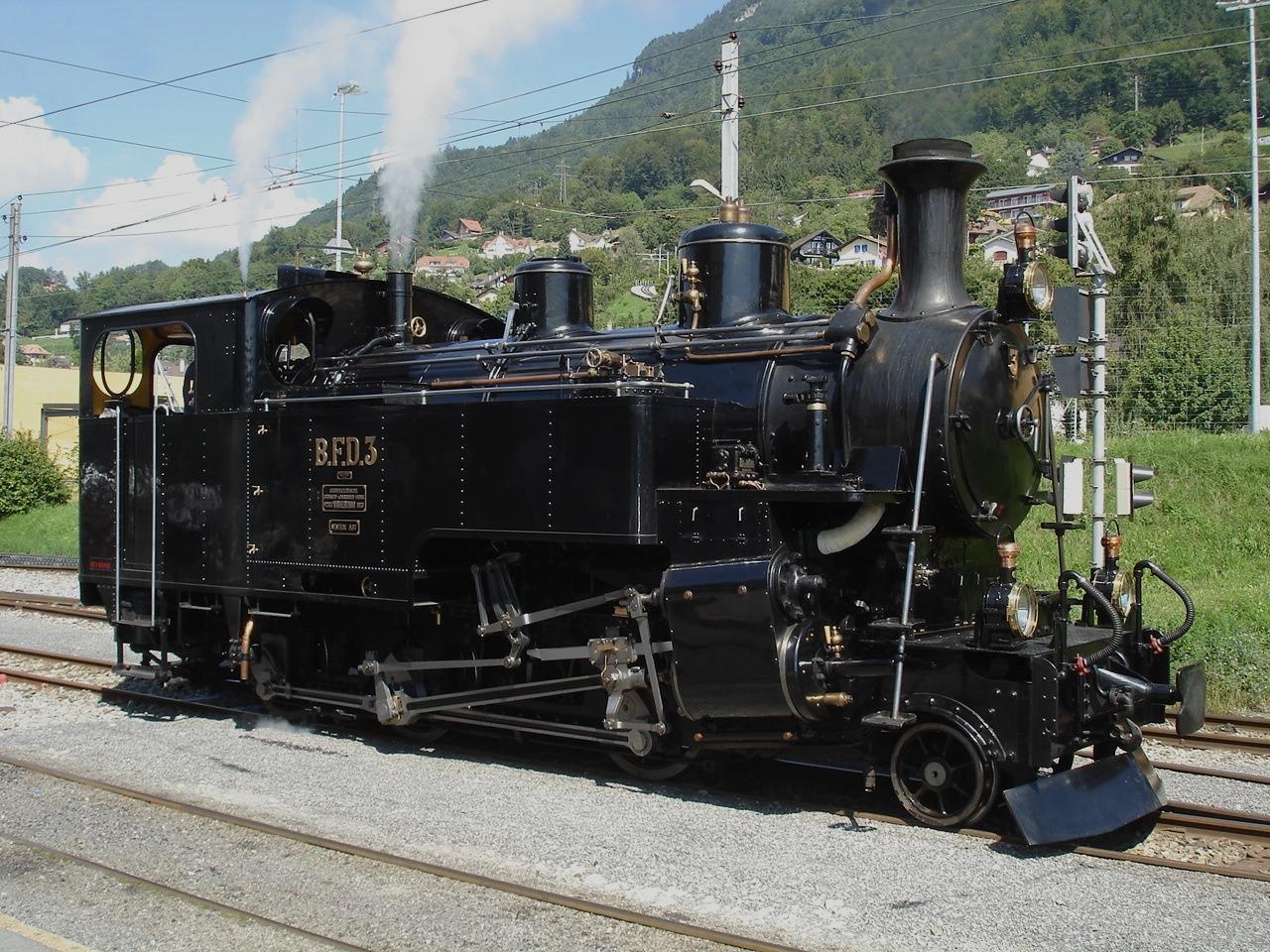
The Blonay–Chamby Museum Railway (french: Chemin de fer-musée Blonay-Chamby, BC) is a short steep but adhesion worked metre gauge heritage railway operated as part of the Blonay–Chamby Railway Museum using vintage steam and electric locomotives and rolling stock. It uses the Blonay–Chamby railway line, originally built by the Chemins de fer électriques Veveysans. It is rail-connected at both ends, at its upper terminus, at Chamby Station on the Chemin de Fer Montreux Oberland Bernois line and at the lower end at Blonay station on the Vevey–Les Pléiades railway line line operated by Transports Montreux–Vevey–Riviera. History and aims The Blonay–Chamby Railway and Museum was opened in 1968 with the aims of operating the metre gauge railway line from Blonay to Chamby and in doing so preserving railway equipment of technical or historic value. For this purpose the Blonay–Chamby Railway built two motive power and carriage depots at Chaulin, a short distance ... [...More Info...] [...Related Items...] OR: [Wikipedia] [Google] [Baidu] |
Swiss Federal Railways
Swiss Federal Railways (german: link=no, Schweizerische Bundesbahnen, ''SBB''; french: link=no, Chemins de fer fédéraux suisses, ''CFF''; it, Ferrovie federali svizzere, ''FFS'') is the national railway company of Switzerland. It is usually referred to by the initials of its German, French, and Italian names, either as SBB CFF FFS, or used separately. The Romansh version of its name, ''Viafiers federalas svizras'', is not officially used. The official English abbreviation is "SBB", instead of the English acronym such as "SFR", which stands for ''Swiss Federal Railways'' itself. The company, founded in 1902, is headquartered in Bern. It used to be a government institution, but since 1999 it has been a special stock corporation whose shares are held by the Swiss Confederation and the Swiss cantons. It is currently the largest rail and transport company of Switzerland, and operates on most standard gauge lines of the Swiss network. It also heavily collaborates with ... [...More Info...] [...Related Items...] OR: [Wikipedia] [Google] [Baidu] |
Bischofszell
Bischofszell (Alemannic: ''Bischefzèl'') is a village and a municipality in Weinfelden District in the canton of Thurgau in Switzerland. It is the seat of the district. In 1987, the city was awarded the Wakker Prize for the preservation of its architectural heritage. So was its neighboring city Hauptwil-Gottshaus in 1999. Geography Bischofszell consists of two parts - the older elevated part and the newer more industrial part located to the north. The Sitter flows in the Thur directly outside Bischofszell. The forest to the south-east and the riverbanks are popular recreation areas. The closest bigger city and capital of the neighboring canton St. Gallen is about 30 minutes away by train or car. Bischofszell has an area, , of . Of this area, or 55.1% is used for agricultural purposes, while or 24.5% is forested. Of the rest of the land, or 17.7% is settled (buildings or roads), or 2.9% is either rivers or lakes and or 0.3% is unproductive land. [...More Info...] [...Related Items...] OR: [Wikipedia] [Google] [Baidu] |
Realp
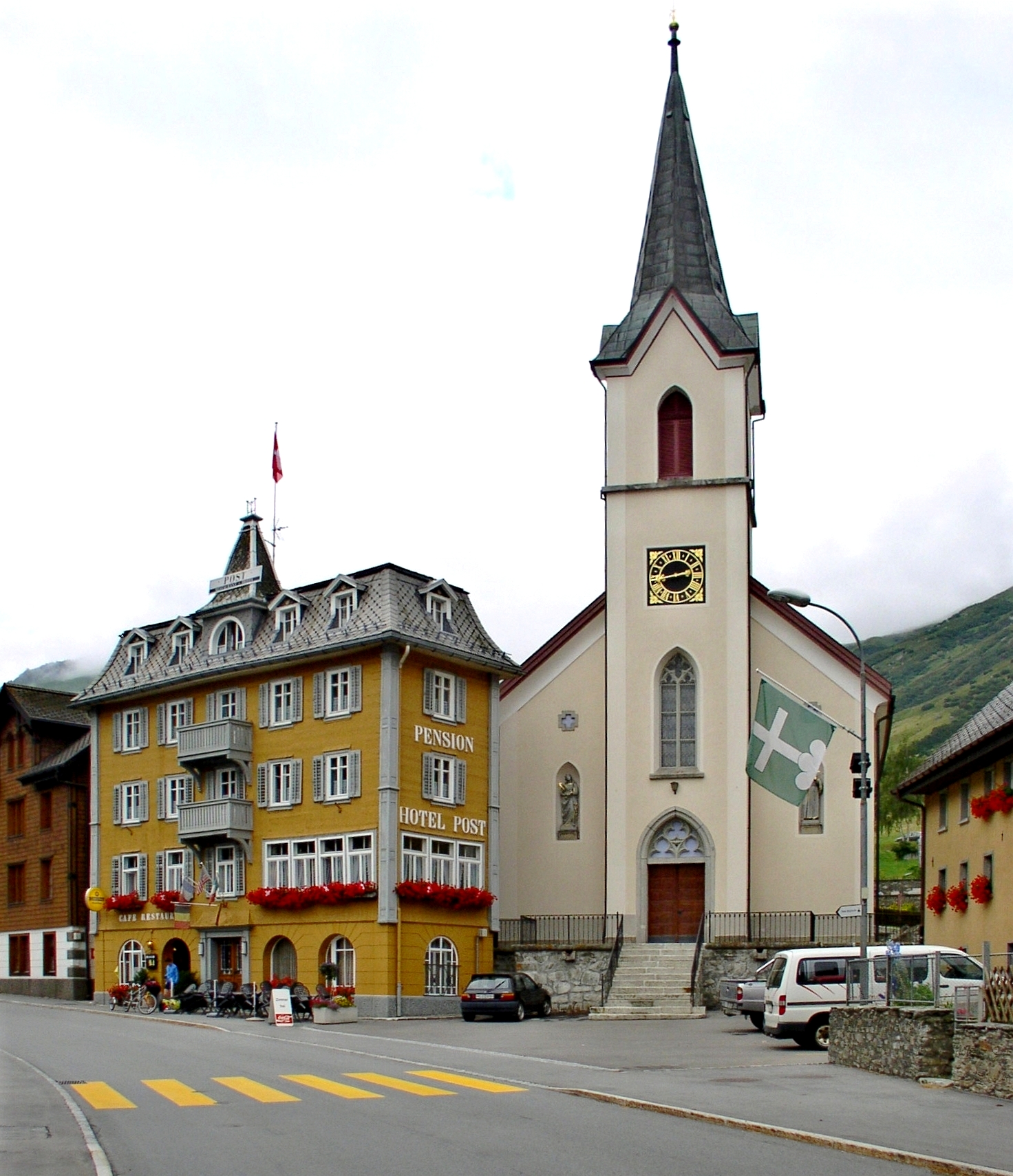
Realp (archaic : ''Frialp'') is a municipality in the canton of Uri in Switzerland. History Realp is first mentioned in 1363 as ''Riealb''. Geography Realp has an area, , of . Of this area, 41.6% is used for agricultural purposes, while 2.3% is forested. Of the rest of the land, 0.6% is settled (buildings or roads) and the remainder (55.4%) is non-productive (rivers, glaciers or mountains). , 0.2% of the total land area was heavily forested, while 2.1% is covered in small trees and shrubbery. Of the agricultural land, 1.6% is used for orchards or vine crops and 40.0% is used for alpine pastures. Of the settled areas, 0.1% is covered with buildings, and 0.5% is transportation infrastructure. Of the unproductive areas, 0.1% is unproductive standing water (ponds or lakes), 1.1% is unproductive flowing water (rivers), 43.3% is too rocky for vegetation, and 10.9% is other unproductive land. [...More Info...] [...Related Items...] OR: [Wikipedia] [Google] [Baidu] |
Romanshorn Railway Station
Romanshorn railway station (german: Bahnhof Romanshorn) is a railway station that serves the municipality of Romanshorn, in the canton of Thurgau, Switzerland. Opened in 1855, the station is owned and operated by SBB-CFF-FFS. It forms the junction between the Winterthur–Romanshorn railway, the Schaffhausen–Rorschach railway and the Romanshorn–Nesslau Neu St. Johann railway. The SBB-CFF-FFS and THURBO operate both long-distance and local traffic to and from the station. These include four St. Gallen S-Bahn lines and an InterCity train to Brig. Layout and connections Romanshorn railway station is situated in Neustrasse, at the eastern edge of the city centre. The station has a side platform with one track ( 1) and two island platforms with two tracks each ( 2–3 and 4–5). On the other side of the tracks is the Romanshorn ferry terminal, for ferries across Lake Constance. History Early years After two years of planning, the station was opened in 1855, together with ... [...More Info...] [...Related Items...] OR: [Wikipedia] [Google] [Baidu] |
Dampfbahn-Verein Zürcher Oberland
The Dampfbahn-Verein Zürcher Oberland (DVZO) is a heritage railway association based in the Swiss canton of Zurich. The association preserves various items of rolling stock, utilising the historic ''lok remise'' or engine shed at Uster station, and also operates the preserved railway between Hinwil and Bauma stations over a section of the former Uerikon to Bauma railway (UeBB). See also *List of heritage railways and funiculars in Switzerland This is a list of heritage railways in Switzerland. For convenience, the list includes any pre-World War II railway in the large sense of the term (either adhesion railway, rack railway or funicular) currently operated with at least several origi ... References External links * The Dampfbahn-Verein Zürcher Oberland web site Heritage railways in Switzerland Railway lines in Switzerland Transport in the canton of Zürich {{switzerland-stub ... [...More Info...] [...Related Items...] OR: [Wikipedia] [Google] [Baidu] |
Blonay
Blonay () is a former municipalities of Switzerland, municipality in the district of Riviera-Pays-d'Enhaut District, Riviera-Pays-d'Enhaut in the Cantons of Switzerland, canton of Vaud in Switzerland. On 1 January 2022 the former municipalities of Blonay and Saint-Légier-La Chiésaz merged into the new municipality of Blonay - Saint-Légier. History Blonay is first mentioned in 861 as ''Blodennaco''. In 1108 it was mentioned as ''Bloniaco''. During the 13th Century it was known as ''Blonay'', ''Blonai'' and ''Blunai''. Geography Blonay has an area, , of . Of this area, or 33.2% is used for agricultural purposes, while or 46.1% is forested. Of the rest of the land, or 18.0% is settled (buildings or roads), or 0.4% is either rivers or lakes and or 2.0% is unproductive land. [...More Info...] [...Related Items...] OR: [Wikipedia] [Google] [Baidu] |


