|
Haverhill (MBTA Station)
Haverhill station is an intercity and regional rail station located in downtown Haverhill, Massachusetts, United States. It is served by Amtrak's '' Downeaster'' service and the MBTA Commuter Rail Haverhill/Reading Line; it is the northern terminus of MBTA service. History The Boston and Portland Railroad opened to , across the Merrimack River from Haverhill, on October 26, 1837. A bridge across the river was built in 1839, with service extended to East Kingston, New Hampshire via Haverhill on January 1, 1840. The railroad was renamed as the Boston and Maine Railroad (B&M) in 1843. The original station, with colonnades on several sides, was soon supplemented with a brick freight house. Haverhill had service suitable for commuting to Boston almost immediately; even after became the outer limit for some commuter service in the 1850s, Haverhill remained the terminus of some trains. A new brick station with a four-sided clock tower, design by local architect Josiah Littlefield, wa ... [...More Info...] [...Related Items...] OR: [Wikipedia] [Google] [Baidu] |
Massachusetts Route 110
Route 110 is a southwest–northeast state route in the U.S. state of Massachusetts. Route 110’s western terminus is at a concurrency of Route 12 and Route 140 in West Boylston, and its eastern terminus is at the junction of U.S. 1 and Route 1A in Sailsbury, a few miles from the Atlantic Ocean. Route 110 provides an alternate route for the northern part (section after Route 2) of I-495. Route description Route 110 begins at Route 12 in West Boylston, just north of the Wachusett Reservoir and the border with Worcester. The route follows north of the reservoir, passing through Sterling before entering Clinton. In Clinton, Route 110 shares a quarter-mile concurrency with Route 62 and Route 70 before heading northward, crossing the Nashua River and passing through Lancaster. The route continues into Bolton, crossing Route 117 and passing the Bolton Flats before entering the town of Harvard. Route 110 continues through the village of Still River, wrapping around B ... [...More Info...] [...Related Items...] OR: [Wikipedia] [Google] [Baidu] |
North Andover, Massachusetts
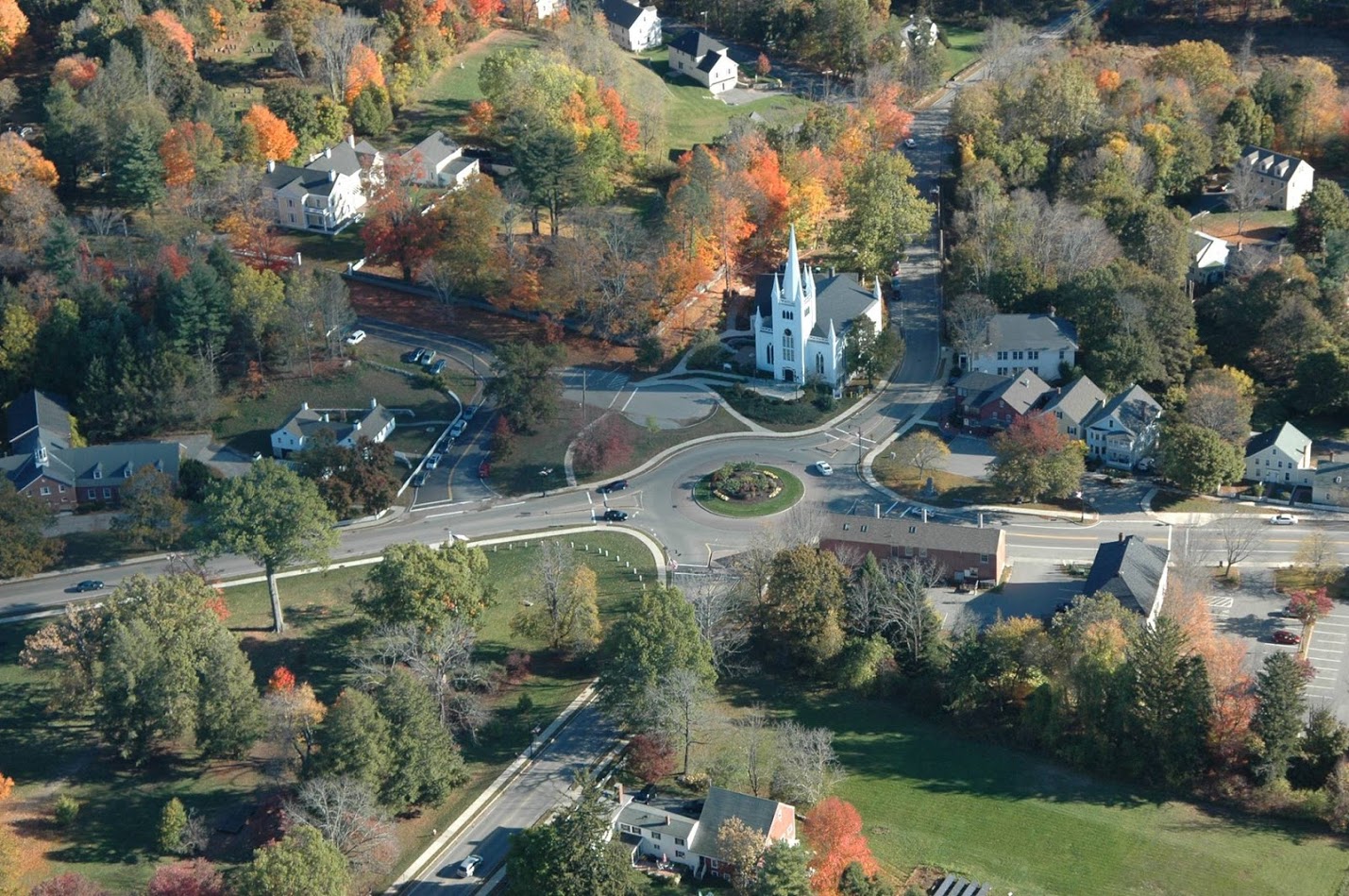
North Andover is an affluent town in Essex County, Massachusetts, United States. At the 2020 census the population was 30,915. History Native Americans inhabited what is now northeastern Massachusetts for thousands of years prior to European colonization of the Americas. At the time of European arrival, Massachusett and Naumkeag people inhabited the area south of the Merrimack River and Pennacooks inhabited the area to the north. The Massachusett referred to the area that would later become North Andover as ''Cochichawick''. The lands south of the Merrimack River around Lake Cochichewick and the Shawsheen River were set aside by the Massachusetts General Court in 1634 for the purpose of creating an inland plantation. The Cochichewick Plantation, as it was called, was purchased on May 6, 1646 when Reverend John Woodbridge, who had settled the land for the English, paid Massachusett sachem Cutshamekin six pounds and a coat for the lands. The plantation was then incorporated as ... [...More Info...] [...Related Items...] OR: [Wikipedia] [Google] [Baidu] |
Stations Along Boston And Maine Railroad Lines
Station may refer to: Agriculture * Station (Australian agriculture), a large Australian landholding used for livestock production * Station (New Zealand agriculture), a large New Zealand farm used for grazing by sheep and cattle ** Cattle station, a cattle-rearing station in Australia or New Zealand **Sheep station, a sheep-rearing station in Australia or New Zealand Communications * Radio communication station, a radio frequency communication station of any kind, including audio, TV, and non-broadcast uses ** Radio broadcasting station, an audio station intended for reception by the general public ** Amateur radio station, a station operating on frequencies allocated for ham or other non-commercial use ** Broadcast relay station ** Ground station (or Earth station), a terrestrial radio station for extraplanetary telecommunication with satellites or spacecraft ** Television station * Courier station, a relay station in a courier system ** Station of the ''cursus publicus'', a sta ... [...More Info...] [...Related Items...] OR: [Wikipedia] [Google] [Baidu] |
MBTA Commuter Rail Stations In Essex County, Massachusetts
The Massachusetts Bay Transportation Authority (abbreviated MBTA and known colloquially as "the T") is the public agency responsible for operating most public transportation services in Greater Boston, Massachusetts. The MBTA transit network includes the MBTA subway with three metro lines (the Blue, Orange, and Red lines), two light rail lines (the Green and Ashmont–Mattapan lines), and a five-line bus rapid transit system (the Silver Line); MBTA bus local and express service; the twelve-line MBTA Commuter Rail system, and several ferry routes. In , the system had a ridership of , or about per weekday as of , of which the rapid transit lines averaged and the light rail lines , making it the fourth-busiest rapid transit system and the third-busiest light rail system in the United States. As of , average weekday ridership of the commuter rail system was , making it the sixth-busiest commuter rail system in the U.S. The MBTA is the successor of several previous public an ... [...More Info...] [...Related Items...] OR: [Wikipedia] [Google] [Baidu] |
Amtrak Stations In Massachusetts
The National Railroad Passenger Corporation, doing business as Amtrak () , is the national passenger railroad company of the United States. It operates inter-city rail service in 46 of the 48 contiguous U.S. States and nine cities in Canada. ''Amtrak'' is a portmanteau of the words ''America'' and ''trak'', the latter itself a sensational spelling of ''track''. Founded in 1971 as a quasi-public corporation to operate many U.S. passenger rail routes, Amtrak receives a combination of state and federal subsidies but is managed as a for-profit organization. The United States federal government, through the Secretary of Transportation, owns all the company's issued and outstanding preferred stock. Amtrak's headquarters is located one block west of Union Station in Washington, D.C. Amtrak serves more than 500 destinations in 46 states and three Canadian provinces, operating more than 300 trains daily over of track. Amtrak owns approximately of this track and operates an additi ... [...More Info...] [...Related Items...] OR: [Wikipedia] [Google] [Baidu] |
Hampton Beach, New Hampshire
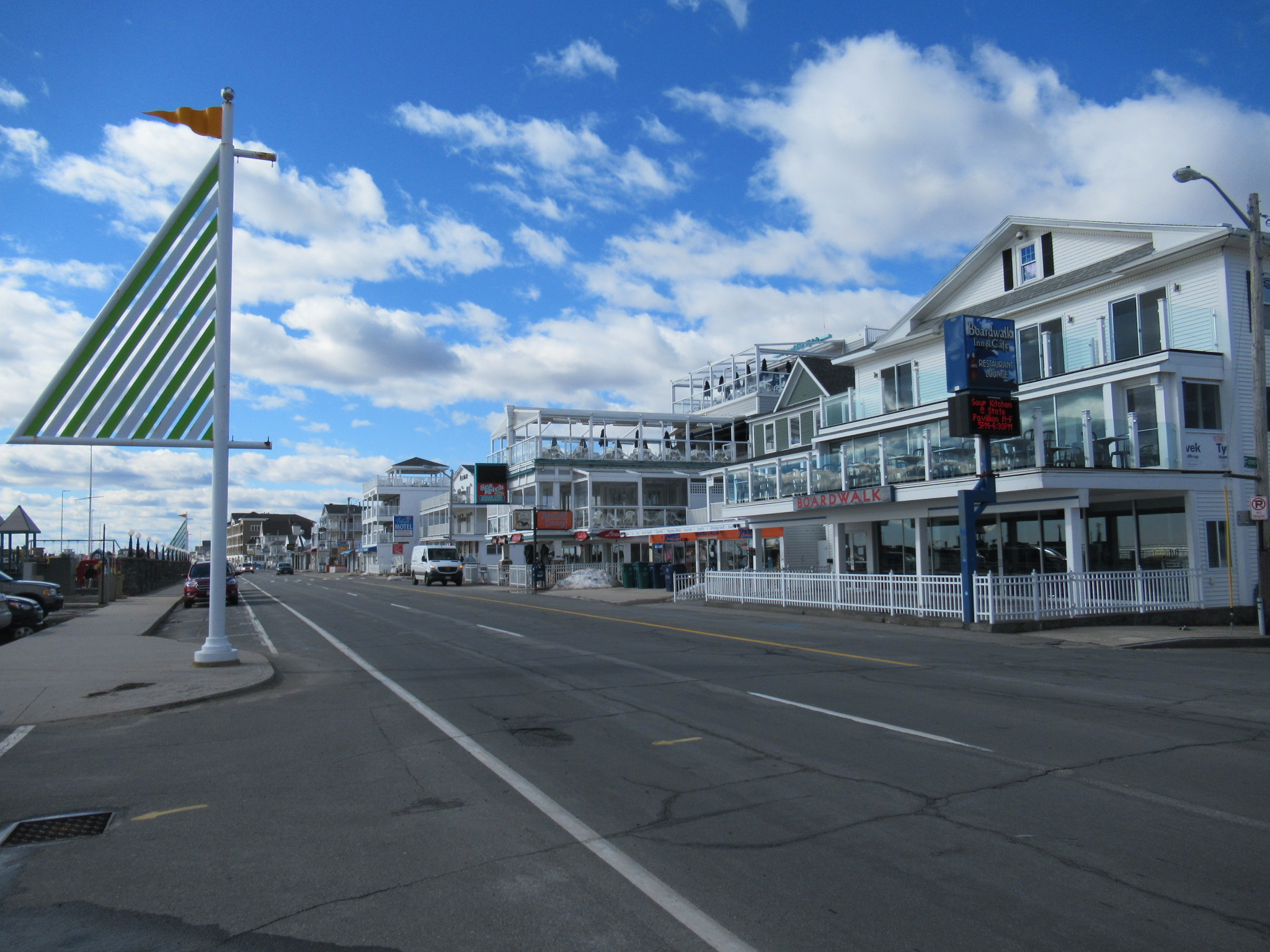
Hampton Beach is a village district, census-designated place, and beach resort in the town of Hampton, New Hampshire, United States, along the Atlantic Ocean. Its population at the 2020 census was 2,598. Hampton Beach is in Rockingham County, about south of Portsmouth. The community is a popular tourist destination and the busiest beach community in New Hampshire. Ocean Boulevard, the main street along the beach, includes a boardwalk, many shops and businesses, several seasonal hotels, and the Hampton Beach Casino Ballroom, which hosts national acts in the summer. Hampton Beach State Park was named one of four "Superstar" beaches in the United States in 2011, for having had perfect water-quality testing results in each of the previous three years. History The Hampton Beach Village District was established on June 26, 1907, to provide electric power and water to the summer tourist community. In 1923, the village's first fire station was built, after two fires destroyed a large ... [...More Info...] [...Related Items...] OR: [Wikipedia] [Google] [Baidu] |
Salisbury Beach State Reservation
Salisbury Beach State Reservation is a state-owned, public recreation area on the Atlantic Ocean in the town of Salisbury, Massachusetts, managed by the Massachusetts Department of Conservation and Recreation. It is one of the most heavily utilized state parks in the Commonwealth, with "an annual attendance rate of over one million visitors." History During the American Civil War the Fort at Salisbury Point was built on the site, which was eventually lost due to beach erosion. The land was acquired for use as a state park in 1931. It saw improvements in the following decade done by the Works Progress Administration and the Civilian Conservation Corps. During World War II the site included a gun battery as the Salisbury Beach Military Reservation. The reservation came under the jurisdiction of the Department of Conservation and Recreation in 1969. Continuing park improvements include the construction of a new jetty in 2015. Wildlife Notable wildlife includes harbor seals, which ... [...More Info...] [...Related Items...] OR: [Wikipedia] [Google] [Baidu] |
Amesbury, Massachusetts
Amesbury is a city in Essex County, Massachusetts, United States, located on the left bank of the Merrimack River near its mouth, upstream from Salisbury and across the river from Newburyport and West Newbury. The population was 17,366 at the 2020 United States Census. A former farming and mill town, Amesbury is today largely residential. It is one of the two northernmost towns in Massachusetts (the other being neighboring Salisbury). History Settlement period In 1637, the first English settler in the Salisbury-Amesbury region, John Bayly, crossed the Merrimack River from the new settlement at Newbury, built a log cabin, and began to clear the land for cultivation. He intended to send for his wife and children in England, but they never joined him.. He and his hired man, William Schooler, were arrested for a murder Schooler had committed. Schooler was hanged for the murder but Bayly was acquitted. Given the fishing rights on the river by the subsequent settlement, provided he w ... [...More Info...] [...Related Items...] OR: [Wikipedia] [Google] [Baidu] |
Bradford, Massachusetts
Bradford is a village and former town, in Essex County, Massachusetts, United States. Eastern Bradford is the current town of Groveland, while western Bradford was annexed by the city of Haverhill, and today consists of the part of Haverhill on the south bank of the Merrimack River. While its separate existence from Haverhill has been largely obscured, the names of many locations in the area still bear the Bradford name. History Bradford was originally part of the town of Rowley, and was called "Rowley on the Merrimack", "Rowley Village by the Merrimack", "Merrimac Lands", or just "Merrimack" before the name was changed to Bradford at a town meeting held January 7, 1672. It was named in memory of Bradford in the West Riding of Yorkshire, England, from which some of the settlers had emigrated, and first paid colonial tax on October 13, 1675. The east parish of Bradford (established in 1726) separated in 1850 and was incorporated as the town of Groveland on March 8, 1850. T ... [...More Info...] [...Related Items...] OR: [Wikipedia] [Google] [Baidu] |
Methuen, Massachusetts
Methuen () is a 23 square mile (60 km2) city in Essex County, Massachusetts, United States. The population was 53,059 at the 2020 census. Methuen lies along the northwestern edge of Essex County, just east of Middlesex County and just south of Rockingham County, New Hampshire. The city is bordered by Haverhill to the northeast, North Andover to the southeast, Lawrence and Andover to the south, Dracut (Middlesex County) to the west, Pelham, New Hampshire ( Hillsborough County) to the northwest, and Salem, New Hampshire ( Rockingham County) to the north. Methuen is located southwest from Newburyport, north-northwest of Boston and south-southeast of Manchester, New Hampshire. History Methuen was first settled in 1642 and was officially incorporated in 1726. Methuen was originally part of Haverhill, Massachusetts. In 1724 Stephen Barker and others in the western part of that town petitioned the General Court to grant them permission to form a new town above Hawke's Meadow ... [...More Info...] [...Related Items...] OR: [Wikipedia] [Google] [Baidu] |
Lawrence, Massachusetts
Lawrence is a city located in Essex County, Massachusetts, United States, on the Merrimack River. At the 2020 census, the city had a population of 89,143. Surrounding communities include Methuen to the north, Andover to the southwest, and North Andover to the east. Lawrence and Salem were the county seats of Essex County, until the Commonwealth abolished county government in 1999. Lawrence is part of the Merrimack Valley. Manufacturing products of the city include electronic equipment, textiles, footwear, paper products, computers, and foodstuffs. Lawrence was the residence of poet Robert Frost for his early school years; his essays and poems were first published in the Lawrence High School newspaper. Lawrence is also the Birth Place of singer Robert Goulet who was born Haverhill St. in 1933. History Indigenous history Native Americans lived along the Merrimack River for thousands of years prior to European colonization of the Americas. Evidence of farming at Den Rock ... [...More Info...] [...Related Items...] OR: [Wikipedia] [Google] [Baidu] |
Accessibility
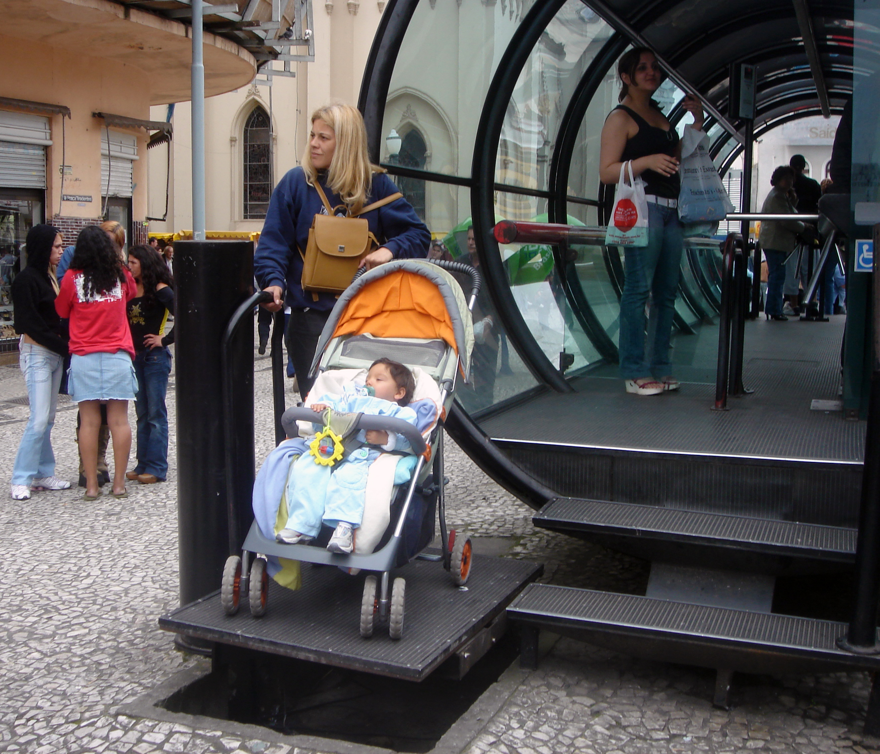
Accessibility is the design of products, devices, services, vehicles, or environments so as to be usable by people with disabilities. The concept of accessible design and practice of accessible development ensures both "direct access" (i.e. unassisted) and "indirect access" meaning compatibility with a person's assistive technology (for example, computer screen readers). Accessibility can be viewed as the "ability to access" and benefit from some system or entity. The concept focuses on enabling access for people with disabilities, or enabling access through the use of assistive technology; however, research and development in accessibility brings benefits to everyone. Accessibility is not to be confused with usability, which is the extent to which a product (such as a device, service, or environment) can be used by specified users to achieve specified goals with effectiveness, efficiency, convenience, or satisfaction in a specified context of use. Accessibility is a ... [...More Info...] [...Related Items...] OR: [Wikipedia] [Google] [Baidu] |


