|
Hart's Location
Hart's Location is a town in Carroll County, New Hampshire, United States. Since 1948, the town has been one of the first places to declare its results for the New Hampshire presidential primary and U.S. presidential elections. The population was 68 as of the 2020 census. It was incorporated in 1795. Hart's Location receives services from the nearby town of Bartlett, but otherwise has its own government, selectmen and post office. Home to Crawford Notch State Park, which is noted for its rugged mountain beauty, the town is crossed by the Appalachian Trail. History Hart's Location was named after Colonel John Hart of Portsmouth, New Hampshire. In 1772, the land was granted to Thomas Chadbourne, also of Portsmouth. Native Americans used a trail up the Saco River valley through Crawford Notch, and during the French and Indian Wars, many English captives were taken to Canada that way. Despite this, the pass through the White Mountains was otherwise unknown until 1771, when T ... [...More Info...] [...Related Items...] OR: [Wikipedia] [Google] [Baidu] |
Carroll County, New Hampshire
Carroll County is a County (United States), county in the U.S. state of New Hampshire. As of the 2020 United States Census, 2020 census, the population was 50,107, making it the third-least populous county in New Hampshire. Its county seat is Ossipee, New Hampshire, Ossipee. The county was created in 1840 and organized at Ossipee from towns removed from Strafford County. It was named in honor of Charles Carroll of Carrollton, who had died in 1832, the last surviving signer of the United States Declaration of Independence. Geography According to the U.S. Census Bureau, the county has a total area of , of which is land and (6.2%) is water. It is the third-largest county in New Hampshire by total area. Northern Carroll County is known for being mountainous. Several ski areas, including Cranmore Mountain Resort, Cranmore Mountain, Attitash, King Pine, and Black Mountain Ski Area (New Hampshire), Black Mountain, are located here. A Salient (geography), salient along the northwester ... [...More Info...] [...Related Items...] OR: [Wikipedia] [Google] [Baidu] |
John Wentworth (governor)
Sir John Wentworth, 1st Baronet (9 August 1737 – 8 April 1820) was the British colonial governor of New Hampshire at the time of the American Revolution. He was later also Lieutenant-Governor of Nova Scotia. He is buried in the crypt of St. Paul's Church in Halifax. Early years Wentworth was born in Portsmouth, New Hampshire, on August 9, 1737. His ancestry went back to some of the earliest settlers of the Province of New Hampshire, and he was a grandson of John Wentworth, who served as the province's lieutenant governor in the 1720s, a nephew to Governor Benning Wentworth, and a descendant of "Elder" William Wentworth. His father Mark was a major landowner and merchant in the province, and his mother, Elizabeth Rindge Wentworth, was also from the upper echelons of New Hampshire society. In 1751, he enrolled in Harvard College, receiving a bachelor's degree in 1755 and a master's degree in 1758. During his time at Harvard, he was a classmate and became a close friend ... [...More Info...] [...Related Items...] OR: [Wikipedia] [Google] [Baidu] |
Moose
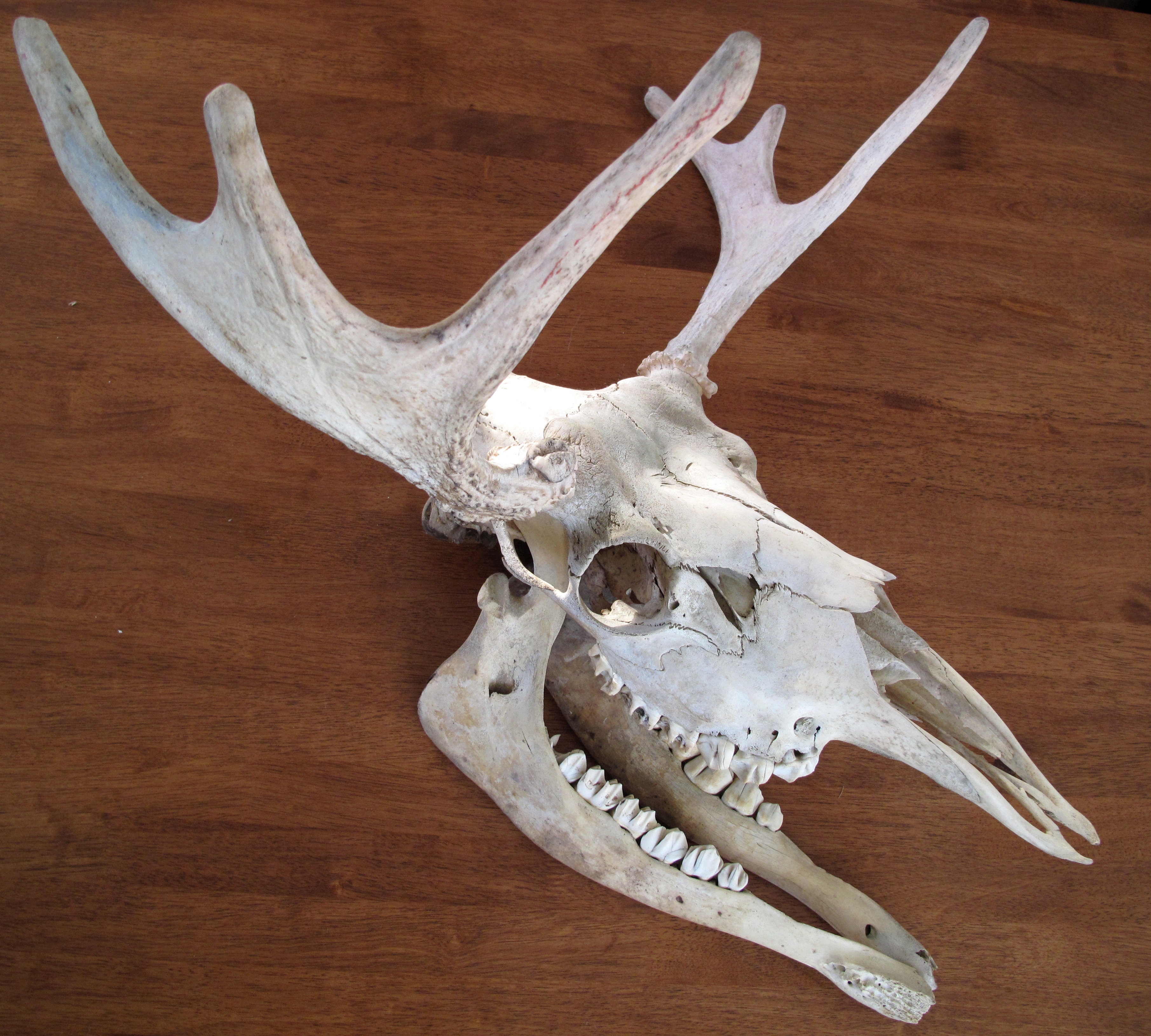
The moose (in North America) or elk (in Eurasia) (''Alces alces'') is a member of the New World deer subfamily and is the only species in the genus ''Alces''. It is the largest and heaviest extant species in the deer family. Most adult male moose have distinctive broad, palmate ("open-hand shaped") antlers; most other members of the deer family have antlers with a dendritic ("twig-like") configuration. Moose typically inhabit boreal forests and temperate broadleaf and mixed forests of the Northern Hemisphere The Northern Hemisphere is the half of Earth that is north of the Equator. For other planets in the Solar System, north is defined as being in the same celestial hemisphere relative to the invariable plane of the solar system as Earth's Nort ... in temperate to subarctic climates. Hunting and other human activities have caused a reduction in the size of the moose's range over time. It has been reintroduced to some of its former habitats. Currently, most moose occ ... [...More Info...] [...Related Items...] OR: [Wikipedia] [Google] [Baidu] |
White Mountains (New Hampshire)
The White Mountains are a mountain range covering about a quarter of the state of New Hampshire and a small portion of western Maine in the United States. They are part of the northern Appalachian Mountains and the most rugged mountains in New England. The range is heavily visited due to its proximity to Boston, New York City, and Montreal. Most of the area is public land, including the White Mountain National Forest and a number of state parks. Its most famous mountain is Mount Washington, which is the highest peak in the Northeastern U.S. and for 76 years held the record for fastest surface wind gust in the world ( in 1934). Mount Washington is part of a line of summits, the Presidential Range, that are named after U.S. presidents and other prominent Americans. The White Mountains also include the Franconia Range, Sandwich Range, Carter-Moriah Range and Kinsman Range in New Hampshire, and the Mahoosuc Range straddling the border between it and Maine. In all, there are 48 peak ... [...More Info...] [...Related Items...] OR: [Wikipedia] [Google] [Baidu] |
New France
New France (french: Nouvelle-France) was the area colonized by France in North America, beginning with the exploration of the Gulf of Saint Lawrence by Jacques Cartier in 1534 and ending with the cession of New France to Great Britain and Spain in 1763 under the Treaty of Paris. The vast territory of ''New France'' consisted of five colonies at its peak in 1712, each with its own administration: Canada, the most developed colony, was divided into the districts of Québec, Trois-Rivières, and Montréal; Hudson Bay; Acadie in the northeast; Plaisance on the island of Newfoundland; and Louisiane. It extended from Newfoundland to the Canadian Prairies and from Hudson Bay to the Gulf of Mexico, including all the Great Lakes of North America. In the 16th century, the lands were used primarily to draw from the wealth of natural resources such as furs through trade with the various indigenous peoples. In the seventeenth century, successful settlements began in Acadia and in Quebe ... [...More Info...] [...Related Items...] OR: [Wikipedia] [Google] [Baidu] |
French And Indian Wars
The French and Indian Wars were a series of conflicts that occurred in North America between 1688 and 1763, some of which indirectly were related to the European dynastic wars. The title ''French and Indian War'' in the singular is used in the United States specifically for the warfare of 1754–63, which composed the North American theatre of the Seven Years' War and the aftermath of which led to the American Revolution. The French and Indian Wars were preceded by the Beaver Wars. In Quebec, the various wars are generally referred to as the Intercolonial Wars. Some conflicts involved Spanish and Dutch forces, but all pitted the Kingdom of Great Britain, British America, its colonies, and their Indigenous peoples of the Americas, Indigenous allies on one side against France, French colonization of the Americas, its colonies, and its Indigenous allies on the other. A driving cause behind the wars was the desire of each country to take control of the interior territories of Americ ... [...More Info...] [...Related Items...] OR: [Wikipedia] [Google] [Baidu] |
Crawford Notch
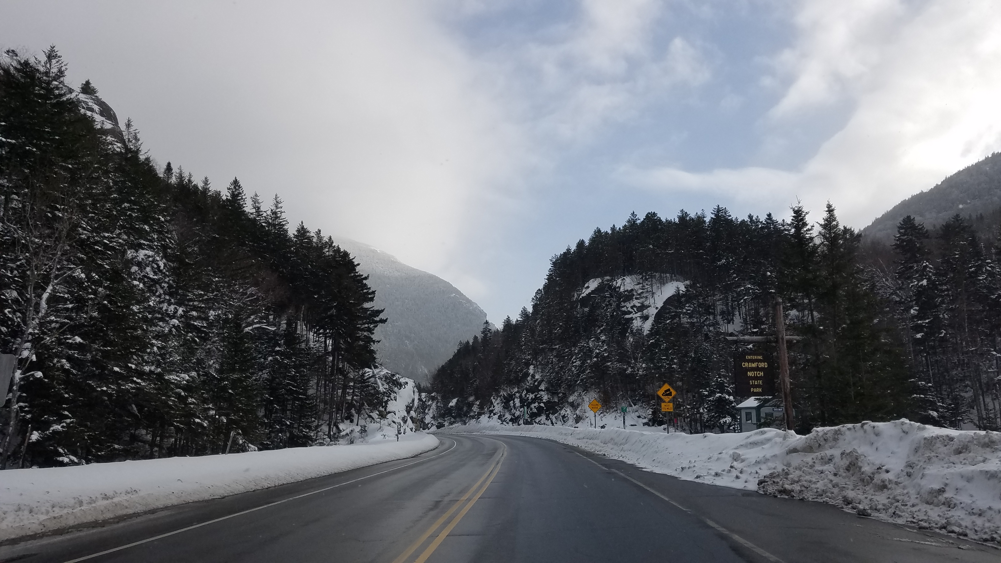
Crawford Notch is a major pass through the White Mountains of New Hampshire, located in Hart's Location. Roughly half of that town is contained in Crawford Notch State Park. The high point of the notch, at approximately above sea level, is at the southern end of the town of Carroll, near the Crawford Depot train station and Saco Lake, the source of the Saco River, which flows southward through the steep-sided notch. North of the high point of the notch, Crawford Brook flows more gently northwest to the Ammonoosuc River, a tributary of the Connecticut River. The notch is traversed by U.S. Route 302, which closely follows the Saco River southeast to North Conway and less closely follows the Ammonoosuc River northwest to Littleton. History Originally called White Mountain Notch, it became known to European settlers when found by Timothy Nash in 1771. The 1772 boundaries of Hart's Grant reflected its shape. It was named for the Crawford family, who were trail-builders and h ... [...More Info...] [...Related Items...] OR: [Wikipedia] [Google] [Baidu] |
Saco River
The Saco River (Abenaki language, Abenaki: ''Sαkóhki'') is a river in northeastern New Hampshire and southwestern Maine in the United States. It drains a rural area of of forests and farmlands west and southwest of Portland, Maine, Portland, emptying into the Atlantic Ocean at Saco Bay (Maine), Saco Bay, from its source.U.S. Geological Survey. National Hydrography Dataset high-resolution flowline dataThe National Map accessed June 30, 2011 It supplies drinking water to roughly 250,000 people in thirty-five towns; and historically provided transportation and water power encouraging development of the cities of Biddeford, Maine, Biddeford and Saco, Maine, Saco and the towns of Fryeburg, Maine, Fryeburg and Hiram, Maine, Hiram. The name "Saco" comes from the Eastern Abnaki language, Eastern Abenaki word ''[sɑkohki]'', meaning "land where the river comes out". ''The Jesuit Relations'', ethnographic documents from the 17th century, refer to the river as ''Chouacoet''. Course T ... [...More Info...] [...Related Items...] OR: [Wikipedia] [Google] [Baidu] |
Native Americans Of The United States
Native Americans, also known as American Indians, First Americans, Indigenous Americans, and other terms, are the Indigenous peoples of the mainland United States (Indigenous peoples of Hawaii, Alaska and territories of the United States are generally known by other terms). There are 574 federally recognized tribes living within the US, about half of which are associated with Indian reservations. As defined by the United States Census, "Native Americans" are Indigenous tribes that are originally from the contiguous United States, along with Alaska Natives. Indigenous peoples of the United States who are not listed as American Indian or Alaska Native include Native Hawaiians, Samoan Americans, and the Chamorro people. The US Census groups these peoples as " Native Hawaiian and other Pacific Islanders". European colonization of the Americas, which began in 1492, resulted in a precipitous decline in Native American population because of new diseases, wars, ethnic cleansin ... [...More Info...] [...Related Items...] OR: [Wikipedia] [Google] [Baidu] |
Portsmouth, New Hampshire
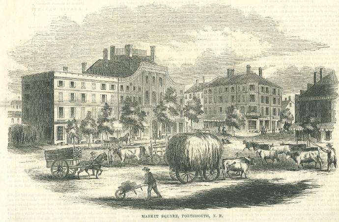
Portsmouth is a city in Rockingham County, New Hampshire, United States. At the 2020 census it had a population of 21,956. A historic seaport and popular summer tourist destination on the Piscataqua River bordering the state of Maine, Portsmouth was formerly the home of the Strategic Air Command's Pease Air Force Base, since converted to Portsmouth International Airport at Pease. History American Indians of the Abenaki and other Algonquian languages-speaking nations, and their predecessors, inhabited the territory of coastal New Hampshire for thousands of years before European contact. The first known European to explore and write about the area was Martin Pring in 1603. The Piscataqua River is a tidal estuary with a swift current, but forms a good natural harbor. The west bank of the harbor was settled by European colonists in 1630 and named Strawbery Banke, after the many wild strawberries growing there. The village was protected by Fort William and Mary on what is now ... [...More Info...] [...Related Items...] OR: [Wikipedia] [Google] [Baidu] |
John Hart (soldier)
John Hart (July 8, 1706 – October 30, 1777) was a militia officer during King George's War and the French and Indian War from the Province of New Hampshire. Biography John Hart was born in Dover, New Hampshire, to Mary Evans and Captain Samual Hart. He was married three times to Mary Dennett, Abigal Landale and Sara Savill. Hart served in the New Hampshire Militia during the capture of Fortress Louisbourg from the French in 1745 by a force made up of militia from the New England colonies supported by the Royal Navy and commanded by William Pepperrell. During the French and Indian War John Hart was promoted to Colonel and commanded a battalion of the New Hampshire Provincial Regiment that was with General Jeffery Amhearst that again captured Fortress Louisbourg in 1758. Hart's Location, New Hampshire is named for Colonel John Hart; this land was granted to him for his service during the French and Indian War. Colonel Hart died aged 71, at his house in Portsmouth, New ... [...More Info...] [...Related Items...] OR: [Wikipedia] [Google] [Baidu] |


