|
Großschirma
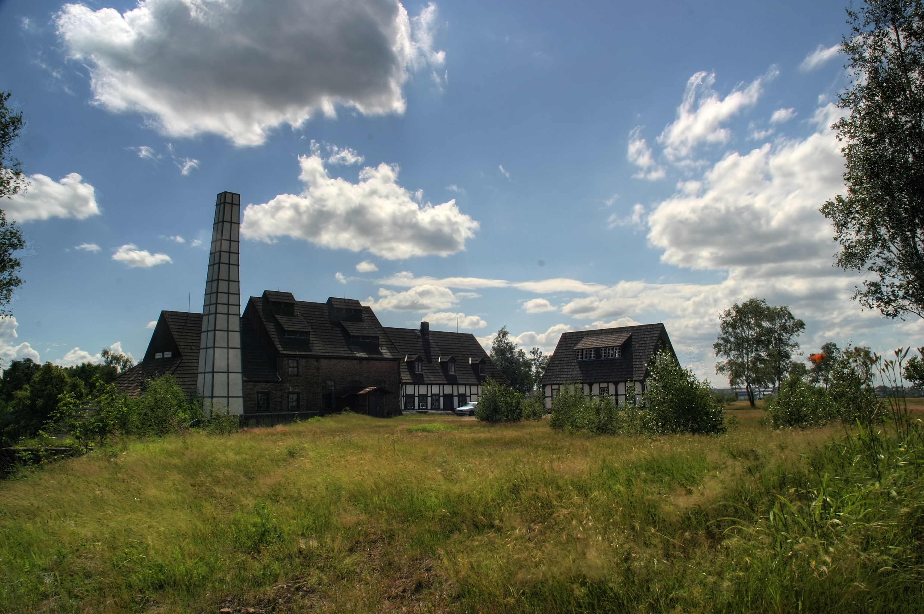
Großschirma is a town in the district of Mittelsachsen, in Saxony, Germany. It is situated 7 km northwest of Freiberg. It was formed from the administrative union of the municipality of Großschirma and the town of Siebenlehn, including their districts, on 1 September 2003. History The eponymous village Großschirma was founded in the middle of the 12th century. Claims by local historians that it was already founded in 956 could not be proved. Until the Protestant Reformation Großschirma belonged to Altzella Abbey. In 1555, prince-elector Augustus sold Großschirma and 14 other villages that were part of the estate of the dissolved abbey to his councillor Ulrich von Mordeisen. Rudolph Mordeisen, one of the sons of the latter, sold Großschirma and at least nine more villages in the property of his family to prince-elector Christian. Großschirma benefited from the growth of mining in the Freiberg Mining Field. The state-owned mine ''Churprinz Friedrich August Erbstolln' ... [...More Info...] [...Related Items...] OR: [Wikipedia] [Google] [Baidu] |
Siebenlehn
Siebenlehn is a district of the town Großschirma in Landkreis Mittelsachsen. Until 2003 it was a separate town. Upon fusion with the neighbouring rural municipality Großschirma on 1 September 2003, the town privileges were transferred to the joint municipality. Geography Siebenlehn is located about south of Nossen, on the eastern edge of Zellwald forest and west of Freiberger Mulde river. West of the town runs Bundesstraße 101 between Freiberg and Meißen, north of it the motorway A4. The junction of both is situated about north-west of the town centre. History The original ''Waldhufendorf'' was founded in the middle of the 12th century during the eastward expansion of the Holy Roman Empire. Soon after, linked to mining activities which have been mentioned in records since 1346, a planned town arose. In 1370 it was awarded town and market privileges. The name of the town means "seven land grants". In 1388 ''Sybenlehn'' was mentioned as ''Städtchen'' (small town) ... [...More Info...] [...Related Items...] OR: [Wikipedia] [Google] [Baidu] |
Freiberg, Saxony
Freiberg is a university and former mining town in Saxony, Germany. It is a so-called ''Große Kreisstadt'' (large county town) and the administrative centre of Mittelsachsen district. Its historic town centre has been placed under heritage conservation and is a part of the UNESCO World Heritage Site known as the Ore Mountain Mining Region, due to its exceptional testimony to the development of mining techniques across many centuries. Until 1969, the town was dominated for around 800 years by the mining and smelting industries. In recent decades it has restructured into a high technology site in the fields of semiconductor manufacture and solar technology, part of Silicon Saxony. It is home of the oldest university of mining and metallurgy in the world – the Freiberg University of Mining and Technology. Geography Location The town lies on the northern declivity of the Ore Mountains, with the majority of the borough west of the Eastern or Freiberger Mulde river. Part ... [...More Info...] [...Related Items...] OR: [Wikipedia] [Google] [Baidu] |
Mittelsachsen
Mittelsachsen ("Central Saxony") is a district ('' Kreis'') in the Free State of Saxony, Germany. History The district was established by merging the former districts of Döbeln, Freiberg and Mittweida as part of the district reform of August 2008. Geography The district stretches from the Erzgebirge ("Ore Mountains") on the Czech Republic–Germany border to the plains between Leipzig and Dresden. The district borders (from the west and clockwise) the state Thuringia, the districts of Leipzig, Nordsachsen, Meißen, Sächsische Schweiz-Osterzgebirge, the Czech Republic, Erzgebirgskreis, the urban district Chemnitz, and the district of Zwickau. The geography of the district varies considerably, stretching from the northern part which almost reaches the North German Plain, to the southern part in the mountainous Erzgebirge region. The lowest point is at 140 metres above sea level, in the valley of the Freiberger Mulde near Leisnig. The highest point is 855 metres above sea le ... [...More Info...] [...Related Items...] OR: [Wikipedia] [Google] [Baidu] |
Freiberg Mining Field
The Freiberg Mining Field (german: Freiberger Revier or ''Freiberger Bergbaurevier'') is an ore field which is located on an ore deposit of precious and non-ferrous metals roughly 35 x 40 kilometres in area in the lower Eastern Ore Mountains of Saxony, Germany. Mining has been carried out here since the last third of the 12th century. Parts of this region, along with other nearby sites in the Erzgebirge/Krušnohoří Mining Region were inscribed on the UNESCO World Heritage List in 2019 because of its testimony of continuous extraction for centuries and its status as the nexus for many technological developments in ore mining. The mining region, in the broadest sense, is centred on Freiberg, but extends beyond that town's borough into the municipalities of Halsbrücke, Hilbersdorf, Bobritzsch, Weißenborn, Oberschöna and the boroughs of Brand-Erbisdorf and Großschirma. In a narrower sense the name refers to the area covered by the Freiburg and Halsbrück mining territories ( ... [...More Info...] [...Related Items...] OR: [Wikipedia] [Google] [Baidu] |
Friedrich Wilhelm Putzger
Friedrich Wilhelm Putzger (10 January 1849, Siebenlehn - 3 August 1913, Plauen) was a German teacher and cartographer. He updated the ''Physikalisch-statistischer Atlas des deutschen Reiches'' (Richard Andree, Oskar Peschel, Verlag Velhagen & Klasing) and in 1877 in Leipzig Leipzig ( , ; Upper Saxon: ) is the most populous city in the German state of Saxony. Leipzig's population of 605,407 inhabitants (1.1 million in the larger urban zone) as of 2021 places the city as Germany's eighth most populous, as wel ... first published the '' F. W. Putzgers Historischer Schul-Atlas'' intended for use in schools. Due to its low price, it was a success. It is still commonly used in schools. The current edition is ''Putzger - Atlas und Chronik zur Weltgeschichte''. Cornelsen, Berlin 2002, Literature * Irmgard Hantsche, ''Friedrich Wilhelm Putzger (1849 bis 1913). Atlasautor und sächsischer Schulmann'', in: Sächsische Heimatblätter 44 (1998), Heft 1, S. 1–12. * Irmgard H ... [...More Info...] [...Related Items...] OR: [Wikipedia] [Google] [Baidu] |
Bundesstraße
''Bundesstraße'' (German for "federal highway"), abbreviated ''B'', is the denotation for German and Austrian national highways. Germany Germany's ''Bundesstraßen'' network has a total length of about 40,000 km. German ''Bundesstraßen'' are labelled with rectangular yellow signs with black numerals, as opposed to the white-on-blue markers of the ''Autobahn'' controlled-access highways. ''Bundesstraßen'', like autobahns, are maintained by the federal agency of the Transport Ministry. In the German highway system they rank below autobahns, but above the ''Landesstraßen'' and ''Kreisstraßen'' maintained by the federal states and the districts respectively. The numbering was implemented by law in 1932 and has overall been retained up to today, except for those roads located in the former eastern territories of Germany. One distinguishing characteristic between German ''Bundesstraßen'' and ''Autobahnen'' is that there usually is a general 100 km/h (62 mph) s ... [...More Info...] [...Related Items...] OR: [Wikipedia] [Google] [Baidu] |
Plant Hunter
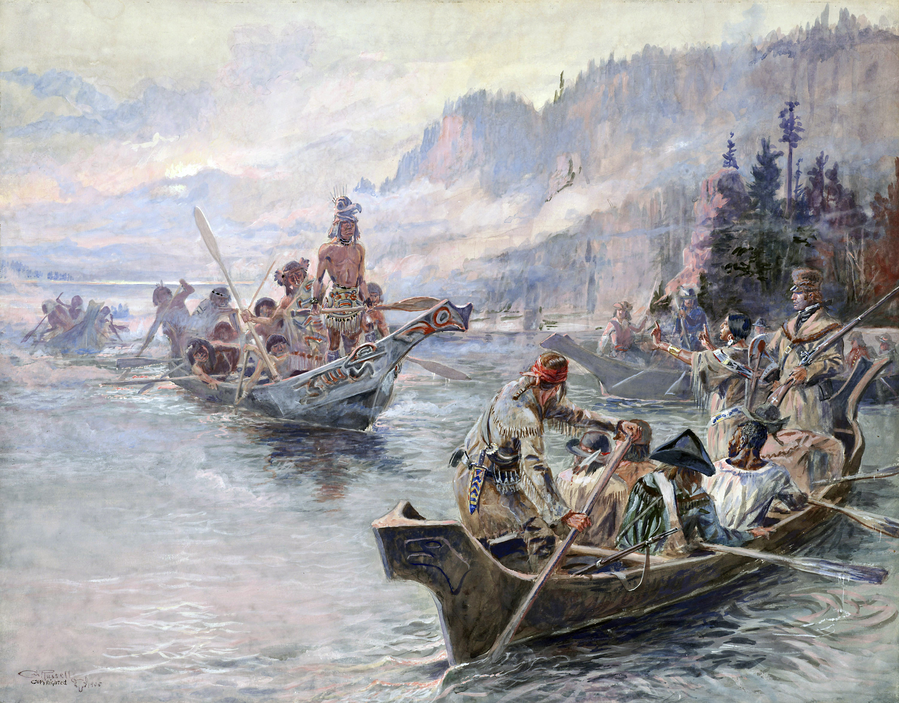
Botanical expeditions (sometimes called "Plant hunting") are scientific voyages designed to explore the flora of a particular region, either as a specific design or part of a larger expedition. A naturalist or botanist would be responsible for identification, descriptipon and collection of specimens. In some cases the plants might be collected by the person in the field, but described and named by a government sponsored scientist at a botanical garden or university. For example, species collected on the Lewis and Clark Expedition were described and named by Frederick Traugott Pursh. While accounts of plant collection occur in antiquity, a scientific basis occurred during the Renaissance and was associated with the establishment of botanical gardens and the teaching of botany as a discipline. The practice of botanical expeditions reached a peak in the late 18th and during the 19th century with the systematic organisation of plants into taxonomic classifications. Plant collection h ... [...More Info...] [...Related Items...] OR: [Wikipedia] [Google] [Baidu] |
Amalie Dietrich
Koncordie Amalie Dietrich (née Nelle) (26 May 1821 – 9 March 1891) was a German naturalist who was best known for her work in Australia from 1863 to 1872, collecting specimens for the Museum Godeffroy in Hamburg. Australia Dietrich was one of a number of influential German-speaking residents such as William Blandowski, Ludwig Becker, Hermann Beckler, Diedrich Henne, Gerard Krefft, Johann Luehmann, Johann Menge, Ludwig Preiss, Carl Ludwig Christian Rümker (a.k.a. Ruemker), Moritz Richard Schomburgk, Richard Wolfgang Semon, George Ulrich, Eugene von Guérard, Robert von Lendenfeld, Ferdinand von Mueller, Georg von Neumayer, and Carl Wilhelmi who brought their "epistemic traditions" to Australia, and not only became "deeply entangled with the Australian colonial project", but also "intricately involved in imagining, knowing and shaping colonial Australia" (Barrett, et al., 2018, p.2). Controversy Whilst in Queensland, Australia, Dietrich "actively sought fresh Aborigin ... [...More Info...] [...Related Items...] OR: [Wikipedia] [Google] [Baidu] |
Rosa Luxemburg
Rosa Luxemburg (; ; pl, Róża Luksemburg or ; 5 March 1871 – 15 January 1919) was a Polish and naturalised-German revolutionary socialist, Marxist philosopher and anti-war activist. Successively, she was a member of the Proletariat party, the Social Democracy of the Kingdom of Poland and Lithuania (SDKPiL), the Social Democratic Party of Germany (SPD), the Independent Social Democratic Party (USPD), the Spartacus League (), and the Communist Party of Germany (KPD). Born and raised in an assimilated Jewish family in Poland, she became a German citizen in 1897. After the SPD supported German involvement in World War I in 1915, Luxemburg and Karl Liebknecht co-founded the anti-war Spartacus League () which eventually became the KPD. During the November Revolution, she co-founded the newspaper (''The Red Flag''), the central organ of the Spartacist movement. Luxemburg considered the Spartacist uprising of January 1919 a blunder, but supported the attempted overthrow of the ... [...More Info...] [...Related Items...] OR: [Wikipedia] [Google] [Baidu] |
Long-distance Trail
A long-distance trail (or long-distance footpath, track, way, greenway) is a longer recreational trail mainly through rural areas used for hiking, backpacking, cycling, horse riding or cross-country skiing. They exist on all continents except Antarctica. Many trails are marked on maps. Typically, a long-distance route will be at least long, but many run for several hundred miles, or longer. Many routes are waymarked and may cross public or private land and/or follow existing rights of way. Generally, the surface is not specially prepared, and the ground can be rough and uneven in areas, except in places such as converted rail tracks or popular walking routes where stone-pitching and slabs have been laid to prevent erosion. In some places, official trails will have the surface specially prepared to make the going easier. Historically Historically, and still nowadays in countries where most people move on foot or with pack animals, long-distance trails linked far away t ... [...More Info...] [...Related Items...] OR: [Wikipedia] [Google] [Baidu] |


