|
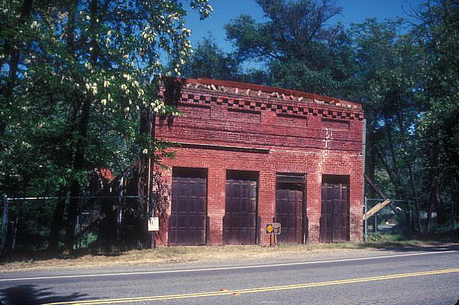
Green Springs Ranch
Green Springs Ranch is a ranch in El Dorado County, California. It lies at an elevation of 1040 feet (317 m). Formerly The Hitchcock Ranch, California, its postal zip code is 95672 Rescue, CaliforniaHistory of Green Springs Ranch @edcgov.us Historical background The lands later known as the Green Springs Ranch can be first traced to ownership by John and Nicholas Hobart. Although it cannot be confirmed in the 1850 census that the Hobart brothers were specifically on this property, they were assessed for $3,000 in value for a "Green Springs Hotel" later in 1850. They may indeed be the first formal landowners, and the builders of the hotel. By June 1850, the brothers were advertising that the Green Springs Hotel, with four rooms on each floor, available for rent, served by the Birch stage line (Placer Times newspaper June 7, 1850). Rufus Hitchcock and his family had come to California apparently in 1849, and were listed twice in El Dorado County in the 1850 United States Census. The ... [...More Info...] [...Related Items...] OR: [Wikipedia] [Google] [Baidu] |
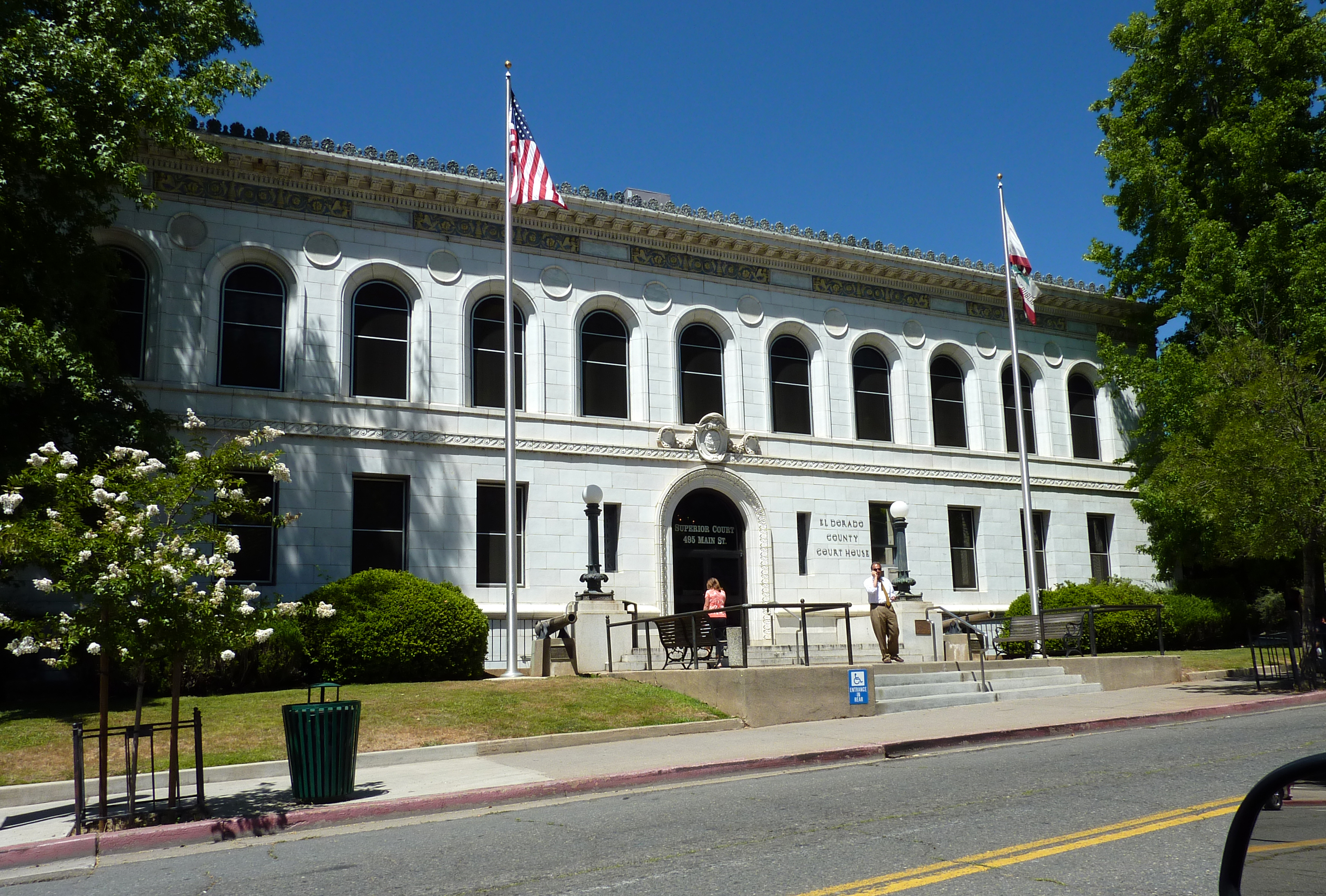
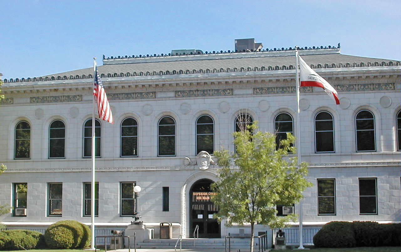
El Dorado County, California
El Dorado County (), officially the County of El Dorado, is a county located in the U.S. state of California. As of the 2020 census, the population was 191,185. The county seat is Placerville. The County is part of the Sacramento- Roseville-Arden-Arcade, CA Metropolitan Statistical Area. It is located entirely in the Sierra Nevada, from the historic Gold Country in the western foothills to the High Sierra in the east. El Dorado County's population has grown as Greater Sacramento has expanded into the region. Where the county line crosses US 50 at Clarksville, the distance to Sacramento is 15 miles. In the county's high altitude eastern end at Lake Tahoe, environmental awareness and environmental protection initiatives have grown along with the population since the 1960 Winter Olympics, hosted at the former Squaw Valley Ski Resort in neighboring Placer County. History What is now known as El Dorado County has been home to the Maidu, Nisenan, Washoe, and Miwok Indigenous A ... [...More Info...] [...Related Items...] OR: [Wikipedia] [Google] [Baidu] |
California
California is a U.S. state, state in the Western United States, located along the West Coast of the United States, Pacific Coast. With nearly 39.2million residents across a total area of approximately , it is the List of states and territories of the United States by population, most populous U.S. state and the List of U.S. states and territories by area, 3rd largest by area. It is also the most populated Administrative division, subnational entity in North America and the 34th most populous in the world. The Greater Los Angeles area and the San Francisco Bay Area are the nation's second and fifth most populous Statistical area (United States), urban regions respectively, with the former having more than 18.7million residents and the latter having over 9.6million. Sacramento, California, Sacramento is the state's capital, while Los Angeles is the List of largest California cities by population, most populous city in the state and the List of United States cities by population, ... [...More Info...] [...Related Items...] OR: [Wikipedia] [Google] [Baidu] |
Rescue, California
Rescue, formerly Green Valley, El Dorado County, California, is an unincorporated community in El Dorado County, California. It is located north-northwest of Shingle Springs and north-northeast of Cameron Park. The zip code is 95672, and Rescue is located in area code 530. The town lies at an elevation of 1214 feet (370 m). Locale Rescue consists of primarily farmland, vineyards are a part of the Sierra Foothills AVA and ranches with an expanding amount of residential neighborhoods and businesses. Neighborhoods vary from tightly knit semi-suburban areas to more rural, spread out neighborhoods. Downtown Rescue is quite small, with only a post office, Fire Station, two churches, and a Community Center to distinguish it from the more rural areas. A restaurant operated in the former quarters of a longtime business known as Rescue Store which also sold gasoline, but has been closed for a few years. History The town of Rescue was established in 1895. The story goes that Andrew Ha ... [...More Info...] [...Related Items...] OR: [Wikipedia] [Google] [Baidu] |
El Dorado County
El Dorado County (), officially the County of El Dorado, is a county located in the U.S. state of California. As of the 2020 census, the population was 191,185. The county seat is Placerville. The County is part of the Sacramento- Roseville-Arden-Arcade, CA Metropolitan Statistical Area. It is located entirely in the Sierra Nevada, from the historic Gold Country in the western foothills to the High Sierra in the east. El Dorado County's population has grown as Greater Sacramento has expanded into the region. Where the county line crosses US 50 at Clarksville, the distance to Sacramento is 15 miles. In the county's high altitude eastern end at Lake Tahoe, environmental awareness and environmental protection initiatives have grown along with the population since the 1960 Winter Olympics, hosted at the former Squaw Valley Ski Resort in neighboring Placer County. History What is now known as El Dorado County has been home to the Maidu, Nisenan, Washoe, and Miwok Indigenous Amer ... [...More Info...] [...Related Items...] OR: [Wikipedia] [Google] [Baidu] |
Placerville, California
Placerville (, ; formerly Old Dry Diggings, Dry Diggings, and Hangtown) is a city in and the county seat of El Dorado County, California. The population was 10,747 as of the 2020 census, up from 10,389 as of the 2010 census. It is part of the Sacramento–Arden-Arcade– Roseville Metropolitan Statistical Area. History A former Maidu settlement called Indak was located at the site of the town. After the discovery of gold at Sutter's Mill in nearby Coloma, California, by James W. Marshall in 1848 sparked the California Gold Rush, the small town now known as Placerville was known as Dry Diggin's after the manner in which the miners moved cartloads of dry soil to run water to separate the gold from the soil. Later in 1849, the town earned its most common historical name, "Hangtown", because of the numerous hangings that had occurred there. However, there is debate on exactly how many lynchings occurred in the town. The town had no police force (in 1849) and five immigra ... [...More Info...] [...Related Items...] OR: [Wikipedia] [Google] [Baidu] |
Fremont County, Iowa
Fremont County is a county located in the U.S. state of Iowa. As of the 2020 census the population was 6,605, making it the state's seventh-least populous county. The county seat is Sidney. The county was formed in 1847 and named for the military officer John C. Fremont. Geography According to the U.S. Census Bureau, the county has a total area of , of which is land and (1.1%) is water. Major highways * Interstate 29 * U.S. Highway 59 * U.S. Highway 275 * Iowa Highway 2 * Iowa Highway 333 Adjacent counties * Mills County (north) * Page County (east) * Atchison County, Missouri (south) * Otoe County, Nebraska (southwest) * Cass County, Nebraska (northwest) History Fremont County was impacted by the 2019 Midwestern U.S. floods. Buyouts are under discussion for residents in Hamburg and McPaul. Demographics 2020 census The 2020 census recorded a population of 6,605 in the county, with a population density of . 95.65% of the population reported being o ... [...More Info...] [...Related Items...] OR: [Wikipedia] [Google] [Baidu] |
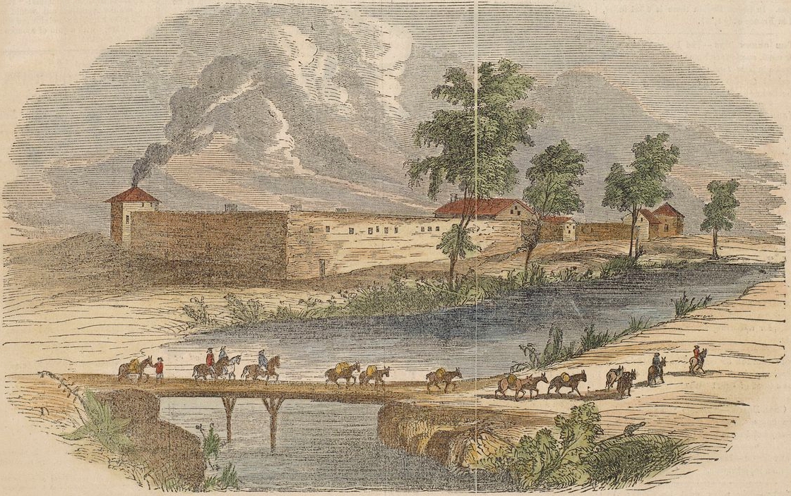
Sutter's Fort
Sutter's Fort was a 19th-century agricultural and trade colony in the Mexican ''Alta California'' province.National Park Service"California National Historic Trail."/ref> The site of the fort was established in 1839 and originally called New Helvetia (''New Switzerland'') by its builder John Sutter, though construction of the fort proper would not begin until 1841. The fort was the first non-indigenous community in the California Central Valley. The fort is famous for its association with the Donner Party, the California Gold Rush, and the formation of the city of Sacramento, surrounding the fort. It is notable for its proximity to the end of the California Trail and Siskiyou Trails, which it served as a waystation. After gold was discovered at Sutter's Mill (also owned by John Sutter) in Coloma on January 24, 1848, the fort was abandoned. The adobe structure has been restored to its original condition and is now administered by California Department of Parks and Recreation. It ... [...More Info...] [...Related Items...] OR: [Wikipedia] [Google] [Baidu] |
Sacramento Daily Union
''The Sacramento Union'' was a daily newspaper founded in 1851 in Sacramento, California. It was the oldest daily newspaper west of the Mississippi River before it closed its doors after 143 years in January 1994, no longer able to compete with ''The Sacramento Bee'', which was founded in 1857, just six years after the ''Union''. Founding The birth of this storied newspaper institution began in 1851 when the city of Sacramento was in its infancy. Under the direction of its first editor, Dr. John F. Morse, who had attracted proprietors through letters to the ''New Orleans Delta'' and well-known literary attainments, The ''Union'' was initially printed as ''The Daily Union'' on Wednesday, March 19, 1851. Upon the front page of this 23-inch by 34-inch paper, Morse addressed the readers of The ''Union'', committing to “publish the first news in the best style and at the lowest prices” and “to have an efficient correspondent in every important town and mining region in the state ... [...More Info...] [...Related Items...] OR: [Wikipedia] [Google] [Baidu] |
Apoplexy
Apoplexy () is rupture of an internal organ and the accompanying symptoms. The term formerly referred to what is now called a stroke. Nowadays, health care professionals do not use the term, but instead specify the anatomic location of the bleeding, such as cerebral, ovarian or pituitary. Informally or metaphorically, the term ''apoplexy'' is associated with being furious, especially as "apoplectic". Historical meaning From the late 14th to the late 19th century,''OED Online'', 2010, Oxford University Press. 7 February 2011 ''apoplexy'' referred to any sudden death that began with a sudden loss of consciousness, especially one in which the victim died within a matter of seconds after losing consciousness. The word ''apoplexy'' was sometimes used to refer to the symptom of sudden loss of consciousness immediately preceding death. Ruptured aortic aneurysms, and even heart attacks and strokes were referred to as apoplexy in the past, because before the advent of medical science, the ... [...More Info...] [...Related Items...] OR: [Wikipedia] [Google] [Baidu] |
Coloma, California
Coloma (Nisenan: ''Cullumah'', meaning "beautiful") is a census-designated place in El Dorado County, California, US. It is approximately northeast of Sacramento, California. Coloma is most noted for being the site where James W. Marshall found gold in the Sierra Nevada foothills, at Sutter's Mill on January 24, 1848, leading to the California Gold Rush. Coloma's population is 529. The settlement is a tourist attraction known for its ghost town and the centerpiece of the Marshall Gold Discovery State Historic Park. Coloma was designated a National Historic Landmark District on July 4, 1961. and It lies at an elevation of 764 feet (233 m). Etymology The name comes from the Nisenan Indian name for the valley in which Coloma is located: ''Cullumah'', meaning 'beautiful.' Coloma is on the South Fork American River that runs through the valley and was built on the original Indian village of Koloma. Former spellings include "Colluma" and "Culloma".. History Coloma grew ar ... [...More Info...] [...Related Items...] OR: [Wikipedia] [Google] [Baidu] |
Folsom, California
Folsom is a city in Sacramento County, California, United States. It is commonly known for Folsom State Prison, the song "Folsom Prison Blues" by Johnny Cash, as well as for Folsom Lake. The population was 80,454 at the 2020 census. Folsom is part of the Sacramento−Arden-Arcade− Roseville Metropolitan Statistical Area. History Folsom is named for Joseph Libbey Folsom who purchased Rancho Rio de los Americanos from the heirs of San Francisco merchant William Alexander Leidesdorff, and laid out the town called Granite City, mostly occupied by gold miners seeking their fortune in the Sierra Nevada foothills. Though few amassed a great deal of wealth, the city prospered due to Joseph Folsom's lobbying to get a railway to connect the town with Sacramento. Joseph died in 1855, and Granite City was later renamed Folsom in his honor. The railway was abandoned in the 1980s but opened up as the terminus of the Gold Line of Sacramento Regional Transit District's light rail service in ... [...More Info...] [...Related Items...] OR: [Wikipedia] [Google] [Baidu] |


.jpg)