|
Glan-Münchweiler Station
Glan-Münchweiler station (officially called Glanmünchweiler until 1900 and also from 1943 to 1947) is the station of the town of Glan-Münchweiler in the German state of Rhineland-Palatinate. It is classified by Deutsche Bahn as a category 6 station and has two platforms and sidings. The station is located in the network area of the Verkehrsverbund Rhein-Neckar (Rhine-Neckar Transport Association, VRN). The address of the station is Bahnhofstraße 3. It was created on 22 September 1868 as a through station with the opening of the Landstuhl–Kusel railway. With the completion of the Glan Valley Railway (''Glantalbahn''), running from Homburg to Bad Münster, on 1 May 1904, which was built as a strategic railway, it became a junction station. It lost this function when the traffic on the latter between Schönenberg-Kübelberg and Glan-Münchweiler was discontinued in the early 1980s and the tracks were subsequently dismantled. Location The station has two platform tracks, a ... [...More Info...] [...Related Items...] OR: [Wikipedia] [Google] [Baidu] |
Glan-Münchweiler
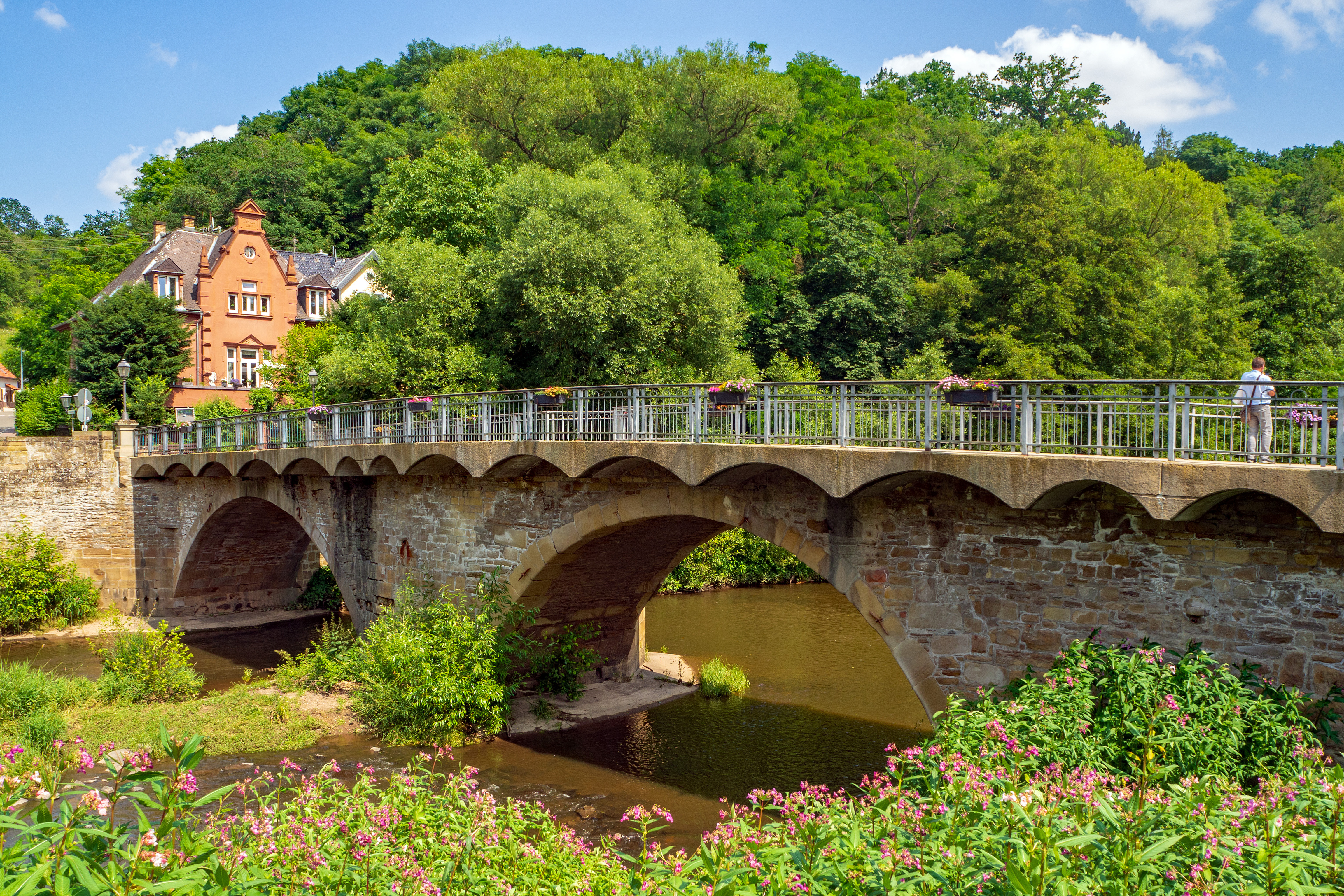
Glan-Münchweiler is an '' Ortsgemeinde'' – a municipality belonging to a ''Verbandsgemeinde'', a kind of collective municipality – in the Kusel district in Rhineland-Palatinate, Germany. It belongs to the ''Verbandsgemeinde'' of Oberes Glantal. Geography Location The municipality lies in a hollow in the Glan valley in the uplands in the Western Palatinate, with peaks such as the Galgenberg, the Klopfberg, the Eckertsberg and the Wingertsberg. On the Glan’s right bank, at the foot of the Hochwald (“High Forest”) lies the outlying centre of Bettenhausen. The bottom of the dale has an elevation of 215 m above sea level. The highest elevation within municipal limits lies in the Eichenwald (“Oak Forest”) at 388 m above sea level. Glan-Münchweiler lies roughly 8 km southeast of Kusel and 25 km west of Kaiserslautern. The municipal area measures 464 ha, of which 112 ha is wooded. Neighbouring municipalities Glan-Münchweiler borders in the ... [...More Info...] [...Related Items...] OR: [Wikipedia] [Google] [Baidu] |
Altenglan Station
Altenglan station is the station of the village of Altenglan in the German state of Rhineland-Palatinate. It is classified by Deutsche Bahn as a category 6 station. and has two platforms and sidings. The station is located in the network area of the Verkehrsverbund Rhein-Neckar (Rhine-Neckar Transport Association, VRN). The address of the station is Bahnhofstraße 45. It was created on 22 September 1868 as a through station with the opening of the Landstuhl–Kusel railway. It became a junction station with the completion of the Glan Valley Railway (''Glantalbahn''), Homburg– Bad Münster on 1 May 1904, which was built as a strategic railway. It lost this function when traffic between Altenglan and Lauterecken-Grumbach on the Glan Valley Railway was closed at the end of 1995. Since 2000, it has also been the southern end of a section of the Glan Valley Railway from Altenglan to Staudernheim that is used for a recreational draisine operation.The Glan Valley Railway branched i ... [...More Info...] [...Related Items...] OR: [Wikipedia] [Google] [Baidu] |
Kaiserslautern
Kaiserslautern (; Palatinate German: ''Lautre'') is a city in southwest Germany, located in the state of Rhineland-Palatinate at the edge of the Palatinate Forest. The historic centre dates to the 9th century. It is from Paris, from Frankfurt am Main, 666 kilometers (414 miles) from Berlin, and from Luxembourg. Kaiserslautern is home to about 100,000 people. Additionally, approximately 45,000 NATO military personnel are based in the city and its surrounding district ('' Landkreis Kaiserslautern''), contributing approximately US$1 billion annually to the local economy. History and demographics Prehistoric settlement in the area of what is now Kaiserslautern has been traced to at least 800 BC. Some 2,500-year-old Celtic tombs were uncovered at Miesau, a town about west of Kaiserslautern. The recovered relics are now in the Museum for Palatinate History at Speyer. Medieval period Kaiserslautern received its name from the favourite hunting retreat of Holy Roman Emperor F ... [...More Info...] [...Related Items...] OR: [Wikipedia] [Google] [Baidu] |
Palatinate Railway
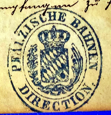
The Palatine Railways (german: Pfälzische Eisenbahnen), often abbreviated to Palatinate Railway (''Pfalzbahn'') was the name of the railway division and administration responsible for all private railway companies in the Bavarian Palatinate from 1844 to 1908. The railway division was first located in the provincial capital of Speyer and later relocated to Ludwigshafen am Rhein. The company was inaugurated with the construction of the Palatine Ludwig Railway (''Pfälzische Ludwigsbahn'') by the eponymous railway company. On the completion of the Palatine Maximilian Railway (''Pfälzische Maximiliansbahn'') the operational headquarters and management of the Palatine Maximilian Railway Company was also incorporated. In 1862, it was joined by the Neustadt - Dürkheim Railway Company (''Neustadt-Dürkheimer Eisenbahn-Gesellschaft''). The same happened to the Palatine Northern Railway Company (''Gesellschaft der Pfälzischen Nordbahnen'') in 1870. In 1869 all the general shar ... [...More Info...] [...Related Items...] OR: [Wikipedia] [Google] [Baidu] |
Rammelsbach Tunnel
Rammelsbach is an ''Ortsgemeinde'' – a municipality belonging to a ''Verbandsgemeinde'', a kind of collective municipality – in the Kusel district in Rhineland-Palatinate, Germany. It belongs to the ''Verbandsgemeinde'' of Kusel-Altenglan, whose seat is in Kusel. Geography Location The municipality lies within the Kusel ''Musikantenland'' (“Minstrels’ Land”) in the Western Palatinate. Rammelsbach lies in the Kuselbach valley between Kusel and Altenglan and also stretches into the valley of the Rammelsbach, which flows to the Kuselbach from the south. In its upper reaches, the Rammelsbach is known as the Tiefenbach. The Kuselbach valley floor lies at 215 m above sea level. Prominent elevations on the Kuselbach's right bank are the Rammelsbacher Kopf (256 m) and the Remigiusberg (368 m), while over on the left bank is the Hinzigberg, which near the Schlichterhof reaches a height of almost 300 m. The great basalt quarry, locally known as “Dimpel”, ... [...More Info...] [...Related Items...] OR: [Wikipedia] [Google] [Baidu] |
Diorite
Diorite ( ) is an intrusive igneous rock formed by the slow cooling underground of magma (molten rock) that has a moderate content of silica and a relatively low content of alkali metals. It is intermediate in composition between low-silica (mafic) gabbro and high-silica ( felsic) granite. Diorite is found in mountain-building belts (''orogens'') on the margins of continents. It has the same composition as the fine-grained volcanic rock, andesite, which is also common in orogens. Diorite has been used since prehistoric times as decorative stone. It was used by the Akkadian Empire of Sargon of Akkad for funerary sculptures, and by many later civilizations for sculptures and building stone. Description Diorite is an intrusive igneous rock composed principally of the silicate minerals plagioclase feldspar (typically andesine), biotite, hornblende, and sometimes pyroxene. The chemical composition of diorite is intermediate, between that of mafic gabbro and felsic grani ... [...More Info...] [...Related Items...] OR: [Wikipedia] [Google] [Baidu] |
Rammelsbach
Rammelsbach is an ''Ortsgemeinde'' – a Municipalities of Germany, municipality belonging to a ''Verbandsgemeinde'', a kind of collective municipality – in the Kusel (district), Kusel Districts of Germany, district in Rhineland-Palatinate, Germany. It belongs to the Kusel-Altenglan, ''Verbandsgemeinde'' of Kusel-Altenglan, whose seat is in Kusel. Geography Location The municipality lies within the Kusel ''Musikantenland'' (“Minstrels’ Land”) in the Western Palatinate (region), Palatinate. Rammelsbach lies in the Kuselbach valley between Kusel and Altenglan and also stretches into the valley of the Rammelsbach, which flows to the Kuselbach from the south. In its upper reaches, the Rammelsbach is known as the Tiefenbach. The Kuselbach valley floor lies at 215 m above sea level. Prominent elevations on the Kuselbach's right bank are the Rammelsbacher Kopf (256 m) and the Remigiusberg (368 m), while over on the left bank is the Hinzigberg, which near the Schli ... [...More Info...] [...Related Items...] OR: [Wikipedia] [Google] [Baidu] |
South German Gulden
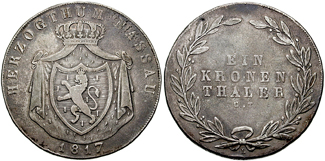
The South German Gulden was the currency of the states of southern Germany between 1754 and 1873. These states included Bavaria, Baden, Württemberg, Frankfurt and Hohenzollern. It was divided into 60 kreuzer, with each kreuzer worth 4 pfennig or 8 heller. History This specific ''Gulden'' was based on the '' Gulden'' or '' florin'' used in the Holy Roman Empire during the Late Middle Ages and Early Modern period. The ''Gulden'' first emerged as a common currency of the Holy Roman Empire after the 1524 ''Reichsmünzordnung'' in the form of the ''Guldengroschen''.Shaw (1896), p. 364: Imperial Mint Ordinance of 1524 defines a silver piece = 1 Rhenish gold gulden. On p 363: the silver equivalent of the guld gulden... received the name gulden groschen. In the succeeding centuries the ''Gulden'' was then defined as a fraction of the ''Reichsthaler'' specie or silver coin. As of 1690 the ''Gulden'' used in Southern Germany and the Austrian Empire adhered to the Leipzig standard, ... [...More Info...] [...Related Items...] OR: [Wikipedia] [Google] [Baidu] |
Glan (Nahe)
The Glan () is a river in southwestern Germany, right tributary of the Nahe. It is approximately long. It rises in the Saarland, northwest of Homburg. It flows generally north, through Rhineland-Palatinate, and empties into the Nahe near Odernheim am Glan, at Staudernheim, across the Nahe from Bad Sobernheim. Other towns along the Glan are Altenglan, Glan-Münchweiler, Lauterecken and Meisenheim. Etymology The Celtic root of the name comes either from ''glann'' (shining) or from '' glen'' (U-shaped valley). See also *List of rivers of Saarland *List of rivers of Rhineland-Palatinate A list of rivers of Rhineland-Palatinate, Germany: A * Aar * Adenauer Bach * Ahr * Alf * Alfbach *Appelbach *Asdorf * Aubach B * Birzenbach *Blattbach * Breitenbach * Brexbach * Brohlbach, tributary of the Moselle * Brohlbach, tributary of the ... References Rivers and lakes of Western Palatinate Rivers of Saarland North Palatinate Rivers of Germany {{RhinelandPalatinate- ... [...More Info...] [...Related Items...] OR: [Wikipedia] [Google] [Baidu] |
Landstuhl
Landstuhl () is a town in the Kaiserslautern district of Rhineland-Palatinate in Germany. It is the seat of ''Verbandsgemeinde Landstuhl'', a kind of "collective municipality." Landstuhl is situated on the north-west edge of the Palatinate Forest, west of Kaiserslautern. History Early history The earliest traces of human settlement in Landstuhl date from around 500 BC. The “heathen rock” (''Heidenfels'') from the Celtic period was a holy site until Roman times, and a Roman settlement dates from the 1st century. About 1152, Emperor Frederick I had Nanstein Castle built on the mountain south of town. Early Modern period During the 15th Century, the lords of Sickingen assumed responsibility for Landstuhl and the surrounding area. The most famous member of this dynasty was Franz von Sickingen. He converted the castle – Nanstein Castle (german: Burg Nanstein), the most visible landmark in Landstuhl and the surrounding area – into a dominating fortress. In August 1522 ... [...More Info...] [...Related Items...] OR: [Wikipedia] [Google] [Baidu] |
Mannheim–Saarbrücken Railway
The Mannheim–Saarbrücken railway (german: Pfälzische Ludwigsbahn) is a railway in the German states of Baden-Württemberg, Rhineland-Palatinate and the Saarland that runs through Ludwigshafen am Rhein, Neustadt an der Weinstraße, Kaiserslautern, Homburg and St. Ingbert. It is the most important railway line that runs through the Palatinate. It serves both passenger and freight transport and carries international traffic. The route was largely opened from 1847 to 1849 as the ''Pfälzische Ludwigsbahn'' (Palatine Ludwig Railway) between Ludwigshafen and Bexbach. The line is identical with the Ludwig Railway between Ludwigshafen and Homburg and it therefore often referred to as the ''Pfälzische Ludwigsbahn''. The remaining sections went into operation between 1867 and 1904. The line was electrified from 1960 to 1964. In its present form, the line has existed since 1969, when Deutsche Bundesbahn moved the Ludwigshafen Hauptbahnhof to its current location. Deutsche Bahn operat ... [...More Info...] [...Related Items...] OR: [Wikipedia] [Google] [Baidu] |
Kingdom Of Bavaria
The Kingdom of Bavaria (german: Königreich Bayern; ; spelled ''Baiern'' until 1825) was a German state that succeeded the former Electorate of Bavaria in 1805 and continued to exist until 1918. With the unification of Germany into the German Empire in 1871, the kingdom became a federated state of the new empire and was second in size, power, and wealth only to the leading state, the Kingdom of Prussia. The polity's foundation dates back to the ascension of prince-elector Maximilian IV Joseph of the House of Wittelsbach as King of Bavaria in 1805. The crown would go on being held by the Wittelsbachs until the kingdom came to an end in 1918. Most of the border of modern Germany's Free State of Bavaria were established after 1814 with the Treaty of Paris, in which the Kingdom of Bavaria ceded Tyrol and Vorarlberg to the Austrian Empire while receiving Aschaffenburg and Würzburg. In 1918, Bavaria became a republic after the German Revolution, and the kingdom was thus succeeded ... [...More Info...] [...Related Items...] OR: [Wikipedia] [Google] [Baidu] |


.jpg)


.jpg)

