|
Gibraltar Peak
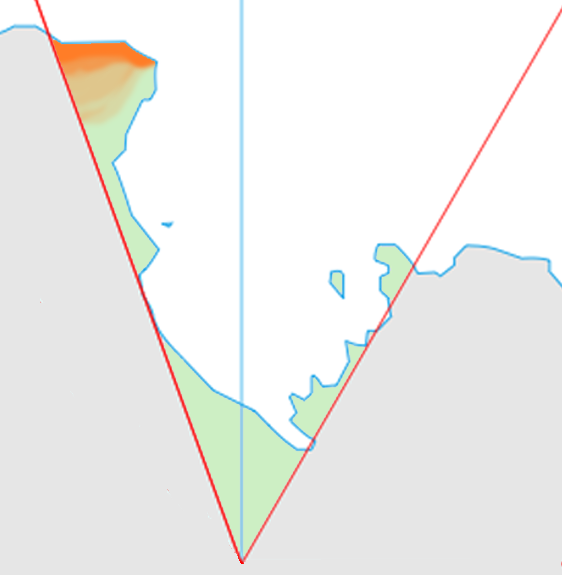
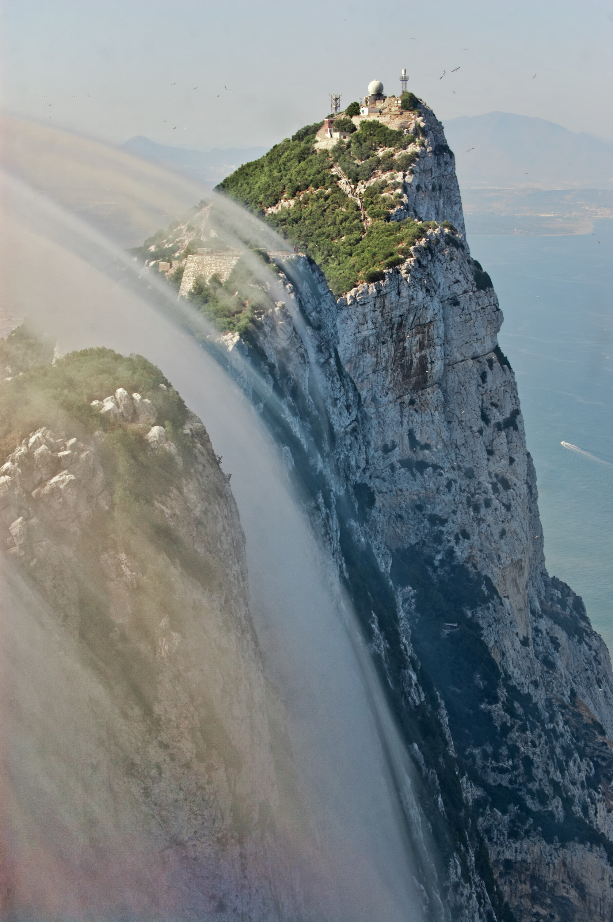
Gibraltar Peak is a peak in Antarctica. Location It is located at and is a peak southeast of Lavallee Peak, in the West Quartzite Range of Victoria Land, Antarctica. The peak lies situated on the Pennell Coast, a portion of Antarctica lying between Cape Williams and Cape Adare. History It was named by the New Zealand Geological Survey Antarctic Expedition, 1967–68, because it is shaped like the famous Rock of Gibraltar The Rock of Gibraltar (from the Arabic name Jabel-al-Tariq) is a monolithic limestone promontory located in the British territory of Gibraltar, near the southwestern tip of Europe on the Iberian Peninsula, and near the entrance to the Mediterr .... The name was officially decided by the U.S. Board on Geographic Names in 1969. It is included in the United States Gazetteer and the SCAR Composite Gazetteer of Antarctica. Biodiversity The Australian Antarctic Data Centre has not recorded any fauna near the peak. Bryum, a type of moss, been located ... [...More Info...] [...Related Items...] OR: [Wikipedia] [Google] [Baidu] |
Antarctica
Antarctica () is Earth's southernmost and least-populated continent. Situated almost entirely south of the Antarctic Circle and surrounded by the Southern Ocean, it contains the geographic South Pole. Antarctica is the fifth-largest continent, being about 40% larger than Europe, and has an area of . Most of Antarctica is covered by the Antarctic ice sheet, with an average thickness of . Antarctica is, on average, the coldest, driest, and windiest of the continents, and it has the highest average elevation. It is mainly a polar desert, with annual precipitation of over along the coast and far less inland. About 70% of the world's freshwater reserves are frozen in Antarctica, which, if melted, would raise global sea levels by almost . Antarctica holds the record for the lowest measured temperature on Earth, . The coastal regions can reach temperatures over in summer. Native species of animals include mites, nematodes, penguins, seals and tardigrades. Where vegetation o ... [...More Info...] [...Related Items...] OR: [Wikipedia] [Google] [Baidu] |
Lavallee Peak
West Quartzite Range () is a mountain range, the western of two parallel quartzite ranges, situated at the east side of Houliston Glacier Lillie Glacier () is a large glacier in Antarctica, about long and wide. It lies between the Bowers Mountains on the west and the Concord Mountains and Anare Mountains on the east, flowing to Ob' Bay on the coast and forming the Lillie Glacie ... in the Concord Mountains, Antarctica. Named by the Northern Party of NZFMCAE, 1962–63, after the distinctive geological formation of the feature. Mountain ranges of Victoria Land Pennell Coast {{VictoriaLand-geo-stub ... [...More Info...] [...Related Items...] OR: [Wikipedia] [Google] [Baidu] |
West Quartzite Range
West Quartzite Range () is a mountain range, the western of two parallel quartzite ranges, situated at the east side of Houliston Glacier in the Concord Mountains, Antarctica Antarctica () is Earth's southernmost and least-populated continent. Situated almost entirely south of the Antarctic Circle and surrounded by the Southern Ocean, it contains the geographic South Pole. Antarctica is the fifth-largest contine .... Named by the Northern Party of NZFMCAE, 1962–63, after the distinctive geological formation of the feature. Mountain ranges of Victoria Land Pennell Coast {{VictoriaLand-geo-stub ... [...More Info...] [...Related Items...] OR: [Wikipedia] [Google] [Baidu] |
Victoria Land
Victoria Land is a region in eastern Antarctica which fronts the western side of the Ross Sea and the Ross Ice Shelf, extending southward from about 70°30'S to 78°00'S, and westward from the Ross Sea to the edge of the Antarctic Plateau. It was discovered by Captain James Clark Ross in January 1841 and named after Queen Victoria. The rocky promontory of Minna Bluff is often regarded as the southernmost point of Victoria Land, and separates the Scott Coast to the north from the Hillary Coast of the Ross Dependency to the south. The region includes ranges of the Transantarctic Mountains and the McMurdo Dry Valleys (the highest point being Mount Abbott in the Northern Foothills), and the flatlands known as the Labyrinth. The Mount Melbourne is an active volcano in Victoria Land. Early explorers of Victoria Land include James Clark Ross and Douglas Mawson. In 1979, scientists discovered a group of 309 meteorites in Antarctica, some of which were found near the Allan Hills in ... [...More Info...] [...Related Items...] OR: [Wikipedia] [Google] [Baidu] |
Pennell Coast
Pennell Coast is that portion of the coast of Antarctica between Cape Williams and Cape Adare. To the west of Cape Williams lies Oates Coast, and to the east and south of Cape Adare lies Borchgrevink Coast. Named by New Zealand Antarctic Place-Names Committee (NZ-APC) in 1961 after Lieutenant Harry Pennell, Royal Navy, commander of the Terra Nova, the expedition ship of the British Antarctic Expedition, 1910–13. Pennell engaged in oceanographic work in the Ross Sea during this period. In February 1911 he sailed along this coast in exploration and an endeavor to land the Northern Party led by Lieutenant Victor Campbell. The name is also used more loosely to refer to both the coast itself and the hinterland extending south to the watershed of the Southern Cross Mountains to the southeast and the Usarp Mountains to the west. Major features of the coast include the 250-kilometer long Rennick Glacier (one of Antarctica's largest glaciers), the Anare Mountains, and the norther ... [...More Info...] [...Related Items...] OR: [Wikipedia] [Google] [Baidu] |
Cape Williams
Cape Williams () is an ice-covered cape in Antarctica. It is the termination of Buell Peninsula at the east side of the terminus of Lillie Glacier at the lower ends of George Glacier and Zykov Glacier. The peninsula is 15 nautical miles (28 km) long and is situated at the extremity of the Pennell Coast portion of Victoria Land, lying between Cape Williams and Cape Adare Cape Adare is a prominent cape of black basalt forming the northern tip of the Adare Peninsula and the north-easternmost extremity of Victoria Land, East Antarctica. Description Marking the north end of Borchgrevink Coast and the west e .... It was discovered in February 1911 when the Terra Nova of the British Antarctic Expedition, 1910–13, explored the area westward of Cape North, and it was named for William Williams, Chief Engine-room Artificer on the Terra Nova. Headlands of Victoria Land Pennell Coast {{VictoriaLand-geo-stub ... [...More Info...] [...Related Items...] OR: [Wikipedia] [Google] [Baidu] |
Cape Adare
Cape Adare is a prominent cape of black basalt forming the northern tip of the Adare Peninsula and the north-easternmost extremity of Victoria Land, East Antarctica. Description Marking the north end of Borchgrevink Coast and the west end of Pennell Coast, the cape separates the Ross Sea to the east from the Southern Ocean to the west, and is backed by the high Admiralty Mountains. Cape Adare was an important landing site and base camp during early Antarctic exploration. Off the coast to the northeast are the Adare Seamounts and the Adare Trough. History Captain James Ross discovered Cape Adare in January 1841 and named it after his friend the Viscount Adare (the title is derived from Adare, Ireland). In January 1895, Norwegian explorers Henrik Bull and Carsten Borchgrevink from the ship '' Antarctic'' landed at Cape Adare as the first documented landing on Antarctica, collecting geological specimens. Borchgrevink returned to the cape leading his own expedition i ... [...More Info...] [...Related Items...] OR: [Wikipedia] [Google] [Baidu] |
New Zealand Geological Survey Antarctic Expedition
The New Zealand Geological Survey Antarctic Expedition (NZGSAE) describes a series of scientific explorations of the continent Antarctica. The expeditions were notably active throughout the 1950s and 1960s. Features named by the expeditions 1957–1958 expedition The 1957–1958 expedition went to the Ross Dependency and named the Borchgrevink Glacier. Other features named include: * Carter Ridge * Felsite Island * Halfway Nunatak * Hedgehog Island * Moraine Ridge 1958–1959 expedition * Cadwalader Beach * Cape Hodgson * Carter Ridge * Isolation Point * Mountaineer Range * Mount Aurora * Mount Hayward * Mount Henderson (White Island) * Mount Bird. 1960–1961 expedition * Deverall Island * Lonewolf Nunataks 1961–1962 expedition * Aurora Heights * The Boil * Ford Spur * Graphite Peak * Half Century Nunatak * Half Dome Nunatak * Hump Passage * Last Cache Nunatak * Lookout Dome * Montgomerie Glacier * Mount Fyfe * Mount Macdonald * Snowshoe Pass * Turret Nu ... [...More Info...] [...Related Items...] OR: [Wikipedia] [Google] [Baidu] |
Rock Of Gibraltar
The Rock of Gibraltar (from the Arabic name Jabel-al-Tariq) is a monolithic limestone promontory located in the British territory of Gibraltar, near the southwestern tip of Europe on the Iberian Peninsula, and near the entrance to the Mediterranean. It is high. Most of the Rock's upper area is covered by a nature reserve, which is home to around 300 Barbary macaques. These macaques, as well as a labyrinthine network of tunnels, attract many tourists each year. The Rock of Gibraltar, one of the two traditional Pillars of Hercules, was known to the Romans as ''Mons Calpe'', the other pillar being ''Mons Abila'', either Monte Hacho or Jebel Musa on the African side of the Strait. According to ancient myths fostered by the Greeks and the Phoenicians, and later perpetuated by the Romans, the two points marked the limit to the known world, although the Phoenicians had actually sailed beyond this point into the Atlantic, both northward and southward. The Mediterranean Sea surroun ... [...More Info...] [...Related Items...] OR: [Wikipedia] [Google] [Baidu] |
Bryum
''Bryum'' is a genus of mosses in the family Bryaceae. It was considered the largest genus of mosses, in terms of the number of species (over 1000), until it was split into three separate genera in a 2005 publication. As of 2013, the classification of both ''Bryum'' and the family Bryaceae to which it belongs underwent significant changes based on DNA studies.Genus ''Bryum'', California Moss eFlora, Jepson eFlora for CA Vascular Plants, University Herbarium, University of California/ref> Description ''Bryum'' is a polyphyletic genus that has high morphological variation. Bryum species generally have shorter laminal cells with short, thick, and rounded stems. All ''Bryum'' species exhibit narrowed cells at the margins. Bryum species can be identified through patterns of asexual reproduction, coloration features of the stem and leaf base, and the strength of the leaf border. History The genus was described by Johann Hedwig in 1801, with the name being derived from the Greek word ... [...More Info...] [...Related Items...] OR: [Wikipedia] [Google] [Baidu] |
Mountains Of Victoria Land
A mountain is an elevated portion of the Earth's crust, generally with steep sides that show significant exposed bedrock. Although definitions vary, a mountain may differ from a plateau in having a limited summit area, and is usually higher than a hill, typically rising at least 300 metres (1,000 feet) above the surrounding land. A few mountains are isolated summits, but most occur in mountain ranges. Mountains are formed through tectonic forces, erosion, or volcanism, which act on time scales of up to tens of millions of years. Once mountain building ceases, mountains are slowly leveled through the action of weathering, through slumping and other forms of mass wasting, as well as through erosion by rivers and glaciers. High elevations on mountains produce colder climates than at sea level at similar latitude. These colder climates strongly affect the ecosystems of mountains: different elevations have different plants and animals. Because of the less hospitable terrain and ... [...More Info...] [...Related Items...] OR: [Wikipedia] [Google] [Baidu] |


