|
Gedern
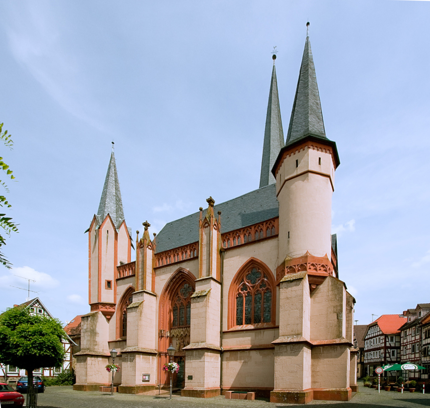
Gedern is a town in the Wetteraukreis district in Hesse, Germany, and historically belongs to Oberhessen. It is located northeast of Hanau at the foot of the Vogelsberg, one of the largest inactive volcanoes in Europe. Neighboring towns Gedern is bordered by Schotten (Vogelsbergkreis) in the north, by Grebenhain (Vogelsbergkreis) in the northeast, by Birstein (Main-Kinzig-Kreis) in the east, by Kefenrod in the south, by Ortenberg in the southwest, and Hirzenhain in the west. Organization Gedern is divided into the districts of Gedern, Mittel-Seemen, Nieder-Seemen, Ober-Seemen, Steinberg, and Wenings. History *The first records of Gedern come from the year 730 AD. *City rights were given to Gedern on January 10, 1356, by Charles IV, Holy Roman Emperor, 20 years after Wenings, a current district of Gedern, received its city rights from Louis IV, Holy Roman Emperor. *After the Congress of Vienna, command of Gedern passed to the Grand Duchy of Hesse. *Many zoning reforms have ... [...More Info...] [...Related Items...] OR: [Wikipedia] [Google] [Baidu] |
Grebenhain
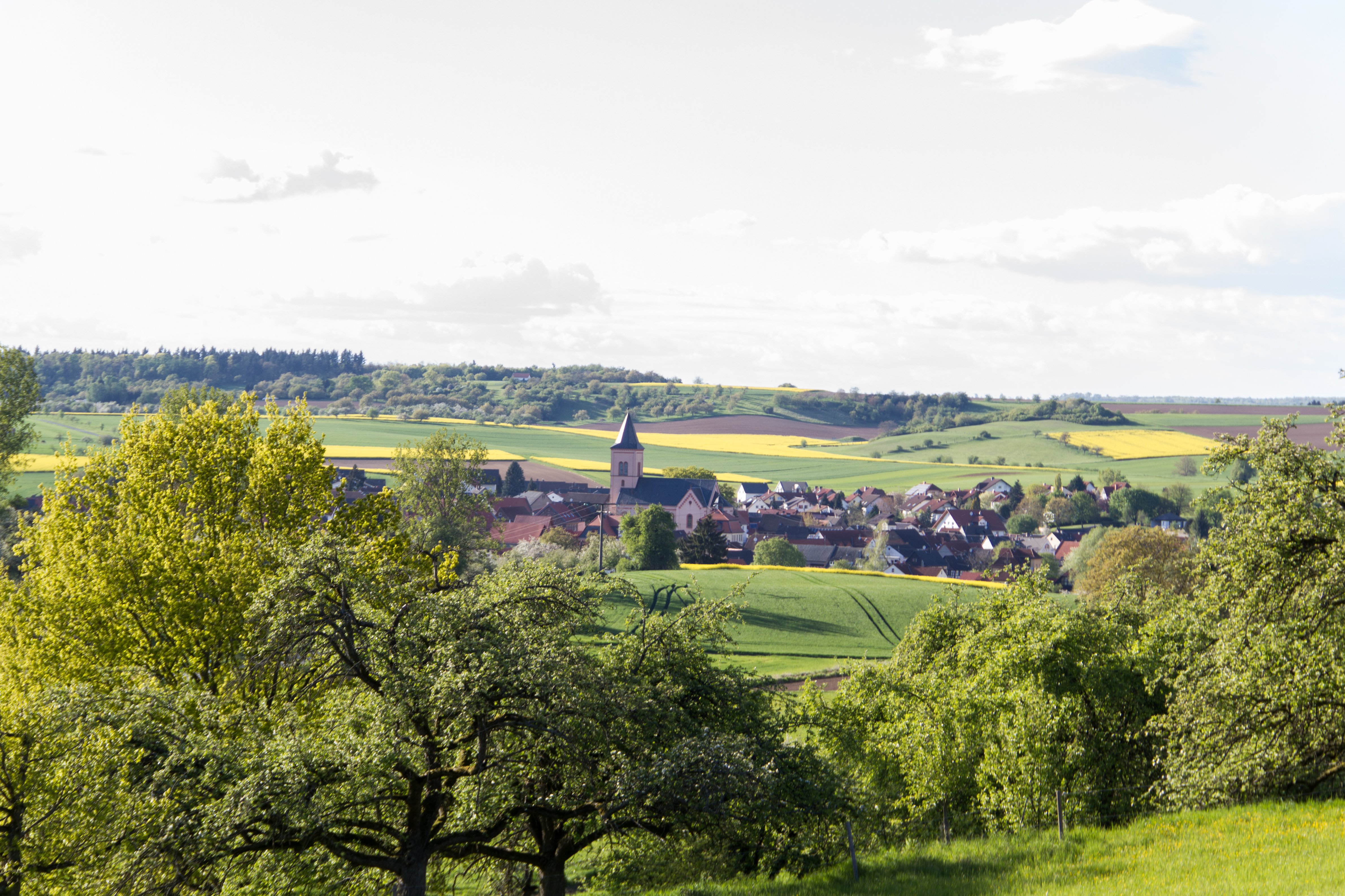
Grebenhain is a municipality in the Vogelsbergkreis in Hesse, Germany. Geography Location The municipality of Grebenhain lies from 400 to 733 m above sea level in the southeastern Vogelsberg Mountains, about 30 km west of Fulda. Neighbouring communities Grebenhain borders in the north on the town of Herbstein, in the east on the community of Hosenfeld (Fulda district), in the south on the communities of Freiensteinau and Birstein (Main-Kinzig-Kreis), in the southwest on the town of Gedern (Wetteraukreis), and in the west on the town of Schotten. Constituent communities The municipality consists of 15 centres named Bannerod, Bermuthshain, Crainfeld, Grebenhain (administrative seat), Hartmannshain, Heisters, Herchenhain, Ilbeshausen-Hochwaldhausen, Metzlos, Metzlos-Gehaag, Nösberts-Weidmoos, Vaitshain, Volkartshain, Wünschen-Moos und Zahmen. History The area nowadays occupied by the greater community of Grebenhain in the Vogelsberg was likely settled by waves of settlers f ... [...More Info...] [...Related Items...] OR: [Wikipedia] [Google] [Baidu] |
Schotten
Schotten is a town in the middle of Hesse, Germany. Larger towns nearby include Alsfeld in the north, Fulda in the east, Friedberg in the south and Gießen in the west. Geography Location The officially recognised climatic spa lies between 168 m and 773 m above sea level on the western slope of the Vogelsberg Mountains. Nearby are Hoherodskopf (764 m) and Taufstein (773 m), the two highest peaks in the High Vogelsberg Nature Park. Schotten is a tourist town thanks to reliably high snowfall in the winter and hiking opportunities in the summer in the extensive forests. Watersports are also possible on the Nidda Reservoir. In the outermost northwestern municipal area is the source of the river Nidda, a favourite destination for hikers. Neighbouring communities Schotten borders in the north on the town of Ulrichstein, in the northeast on the town of Herbstein, in the east on the community of Grebenhain, in the south on the town of Gedern and the community of Hirzenhain (b ... [...More Info...] [...Related Items...] OR: [Wikipedia] [Google] [Baidu] |
Birstein
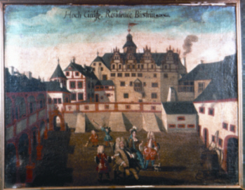
Birstein is a municipality on the northeastern edge of the Main-Kinzig-Kreis in Hesse, Germany with approximately 6,600 inhabitants. It was the home of the former principality of Isenburg-Birstein. Geography Location The town lies at the southern base of the Vogelsberg Mountains. For this reason, and because of the natural beauty of its setting, it is known as the "Pearl of the Vogelsberg". Birstein proper has two sections. The northern part, uphill from the palace, is known as the "Oberberg", while the southern part, where most of the shops and commercial establishments are located, is called the "Unterberg". Neighboring municipalities To the north, Birstein borders on Grebenhain, which lies in the Vogelsbergkreis. On this border is the Völzberger Köpfchen, the highest peak of the area. To the east, its neighbors are Freiensteinau (also in the Vogelsbergkreis) and the town of Steinau an der Straße. Bad Soden-Salmünster and the municipality of Brachttal border it on the so ... [...More Info...] [...Related Items...] OR: [Wikipedia] [Google] [Baidu] |
Wetteraukreis
The Wetteraukreis is a ''Kreis'' (district) in the middle of Hesse, Germany. Neighbouring districts are Landkreis Gießen, Vogelsbergkreis, Main-Kinzig-Kreis, district-free Stadt Frankfurt, Hochtaunuskreis and Lahn-Dill-Kreis. History The district was created in 1972 when the two districts Friedberg and Büdingen were merged. Geography The district is located between the Taunus mountains and the Vogelsberg volcanic mountain. The main rivers of the district are the Nidda River The Nidda is a right tributary of the river Main in Hesse. It springs from the Vogelsberg on the Taufstein mountain range near the town of Schotten, flows through the Niddastausee dam, and the towns of Nidda, Niddatal, Karben, and Bad Vilbe ... and the Wetter River. Coat of arms The imperial eagle in the top of the coat of arms was chosen because the Wetterau was imperial possession in the past. The bars in the bottom derive from the lords of Isenburg-Büdingen, who owned most of the area. The wav ... [...More Info...] [...Related Items...] OR: [Wikipedia] [Google] [Baidu] |
Vogelsberg Mountains
The is a large volcanic mountain range in the German Central Uplands in the state of Hesse, separated from the Rhön Mountains by the Fulda river valley. Emerging approximately 19 million years ago, the Vogelsberg is Central Europe's largest basalt formation, consisting of a multitude of layers that descend from their peak in ring-shaped terraces to the base. The main peaks of the Vogelsberg are the Taufstein (Vogelsberg), Taufstein, , and Hoherodskopf, , both now within the High Vogelsberg Nature Park. Location The Vogelsberg lies in the county of Vogelsbergkreis, around 60 kilometres northeast of Frankfurt am Main, Frankfurt between the towns of Alsfeld, Fulda, Büdingen and Nidda, Hesse, Nidda. To the northeast is the Knüllgebirge, Knüll, to the east the Rhön, to the southeast the Spessart and to the southwest the low-lying Wetterau, which transitions to the South Hessian lowlands of the Rhine-Main region. In the opposite direction, to the northwest, the Vo ... [...More Info...] [...Related Items...] OR: [Wikipedia] [Google] [Baidu] |
Hessisches Statistisches Landesamt ...
The statistical offices of the German states (German: ''Statistische Landesämter'') carry out the task of collecting official statistics in Germany together and in cooperation with the Federal Statistical Office. The implementation of statistics according to Article 83 of the constitution is executed at state level. The federal government has, under Article 73 (1) 11. of the constitution, the exclusive legislation for the "statistics for federal purposes." There are 14 statistical offices for the 16 states: See also * Federal Statistical Office of Germany References {{Reflist Germany Statistical offices Germany Germany,, officially the Federal Republic of Germany, is a country in Central Europe. It is the second most populous country in Europe after Russia, and the most populous member state of the European Union. Germany is situated betwe ... [...More Info...] [...Related Items...] OR: [Wikipedia] [Google] [Baidu] |
Charles IV, Holy Roman Emperor
Charles IV ( cs, Karel IV.; german: Karl IV.; la, Carolus IV; 14 May 1316 – 29 November 1378''Karl IV''. In: (1960): ''Geschichte in Gestalten'' (''History in figures''), vol. 2: ''F–K''. 38, Frankfurt 1963, p. 294), also known as Charles of Luxembourg, born Wenceslaus (, ), was the first King of Bohemia to become Holy Roman Emperor. He was a member of the House of Luxembourg from his father's side and the Bohemian House of Přemyslid from his mother's side; he emphasized the latter due to his lifelong affinity for the Bohemian side of his inheritance, and also because his direct ancestors in the Přemyslid line included two saints. He was the eldest son and heir of John of Bohemia, King of Bohemia and Count of Luxembourg, who died at the Battle of Crécy on 26 August 1346. His mother, Elizabeth, Queen of Bohemia, was the sister of Wenceslaus III, King of Bohemia and Poland, the last of the male Přemyslid rulers of Bohemia. Charles inherited the County of Luxemb ... [...More Info...] [...Related Items...] OR: [Wikipedia] [Google] [Baidu] |
Louis IV, Holy Roman Emperor
Louis IV (german: Ludwig; 1 April 1282 – 11 October 1347), called the Bavarian, of the house of Wittelsbach, was King of the Romans from 1314, King of Italy from 1327, and Holy Roman Emperor from 1328. Louis' election as king of Germany in 1314 was controversial, as his Habsburg cousin Frederick the Fair was simultaneously elected king by a separate set of electors. Louis defeated Frederick in the Battle of Mühldorf in 1322, and the two eventually reconciled. Louis was opposed and excommunicated by the French Pope John XXII; Louis in turn attempted to depose the pope and install an anti-pope. Louis IV was Duke of Upper Bavaria from 1294 to 1301 together with his elder brother Rudolf I, was Margrave of Brandenburg until 1323, and Count Palatine of the Rhine until 1329, and became Duke of Lower Bavaria in 1340. He was the last Bavarian to be a king of Germany until 1742. He became Count of Hainaut, Holland, Zeeland, and Friesland in 1345 when his wife Margaret inherited ... [...More Info...] [...Related Items...] OR: [Wikipedia] [Google] [Baidu] |
Congress Of Vienna
The Congress of Vienna (, ) of 1814–1815 was a series of international diplomatic meetings to discuss and agree upon a possible new layout of the European political and constitutional order after the downfall of the French Emperor Napoleon Bonaparte. Participants were representatives of all European powers and other stakeholders, chaired by Austrian statesman Klemens von Metternich, and held in Vienna from September 1814 to June 1815. The objective of the Congress was to provide a long-term peace plan for Europe by settling critical issues arising from the French Revolutionary Wars and the Napoleonic Wars without the use of (military) violence. The goal was not simply to restore old boundaries, but to resize the main powers so they could balance each other and remain at peace, being at the same time shepherds for the smaller powers. More fundamentally, strongly generalising, conservative thinking leaders like Von Metternich also sought to restrain or eliminate republicanism, ... [...More Info...] [...Related Items...] OR: [Wikipedia] [Google] [Baidu] |
Grand Duchy Of Hesse
The Grand Duchy of Hesse and by Rhine (german: link=no, Großherzogtum Hessen und bei Rhein) was a grand duchy in western Germany that existed from 1806 to 1918. The Grand Duchy originally formed from the Landgraviate of Hesse-Darmstadt in 1806 as the Grand Duchy of Hesse (german: Großherzogtum Hessen, link=no). It assumed the name Hesse and bei Rhein in 1816 to distinguish itself from the Electorate of Hesse, which had formed from neighbouring Hesse-Kassel. Colloquially, the grand duchy continued to be known by its former name of Hesse-Darmstadt. In 1806, the Landgraviate of Hesse-Darmstadt seceded from the Holy Roman Empire and joined Napoleon's new Confederation of the Rhine. The country was promoted to the status of Grand Duchy and received considerable new territories, principally the Duchy of Westphalia. After the French defeat in 1815, the Grand Duchy joined the new German Confederation. Westphalia was taken by Prussia, but Hesse received Rheine-Hesse in return. A consti ... [...More Info...] [...Related Items...] OR: [Wikipedia] [Google] [Baidu] |
Nidda, Hesse
Nidda is a town in the district Wetterau, in Hesse, Germany. It is situated on the Nidda river, approximately northeast of Frankfurt am Main. Division of the town The municipality consists of the districts Unter-Widdersheim, Ober-Widdersheim, Borsdorf, Harb, Bad-Salzhausen, Geiß-Nidda, Ulfa, Stornfels, Eichelsdorf, Ober-Schmitten, Unter-Schmitten, Kohden, Nidda, Michelnau, Fauerbach, Wallernhausen, Schwickartshausen, Unter-Lais and Ober-Lais. History Invited through a manifesto issued by Catherine the Great, several families from this region travelled to Russia in the late 18th century to settle in the Volga Region near Saratov. Family names Appel, Daubert, Pfaffenroth, Weitz and Scheuermann are examples of Volga Germans who helped to establish local villages, including Yagodnaya Polyana. Nidda has a vibrant mix of people from many backgrounds, including Turkish, Russian and Pakistani. The Ahmadiyya Muslim Jamaat opened its first purpose-built mosque in Nidda in 2011. Mayor ... [...More Info...] [...Related Items...] OR: [Wikipedia] [Google] [Baidu] |
Büdingen
Büdingen is a town in the Wetteraukreis, in Hesse, Germany. It is mainly known for its well-preserved, heavily fortified medieval town wall and half-timbered houses. Geography Location Büdingen is in the south of the Wetterau below the Vogelsberg hills at an altitude of approx. 160 meters. The city is situated 15 km northwest of Gelnhausen and about 40 km east from Frankfurt am Main. Historically, the city belongs to Oberhessen. Geology Büdingen is situated in a wet and swampy valley. The castle and the old town therefore rest on centuries-old oak planks, placed horizontally across vertical beech piles (poles). The water level has to be kept high enough so that no air can reach these foundations. Districts Since 1972, the municipality includes the following formerly independent villages: Aulendiebach, Büches, Büdingen (core or centre), Calbach, Diebach am Haag, Düdelsheim (the largest municipality), Dudenrod, Eckartshausen, Lorbach, Michelau, Orleshausen, Rinder ... [...More Info...] [...Related Items...] OR: [Wikipedia] [Google] [Baidu] |


