|
G219
China National Highway 219 (G219; Chinese language, Chinese: ''Guódào219'') is a highway which runs along the entire western and southern border of the People's Republic of China, from Kom-Kanas Mongolian Ethnic Township, Kom-Kanas Mongolian ethnic township in Xinjiang to Dongxing, Guangxi, Dongxing in Guangxi. At over long, it is part of the China National Highway Network Planning (2013–2030), and once completed it will be the longest China National Highways, National Highway. Before 2013, G219 ran from Kargilik Town, Yecheng (Karghilik) in the Xinjiang Uyghur Autonomous Region to Lhatse (town), Lhatse in the Tibet Autonomous Region. It was long. This section was completed in September 1957. India disagrees with China over its territorial footprint in Aksai Chin. During the 1962 war, China defended the road, also pushing its western frontier further west. For the first time after the 1960s, between 2010-2012, China spent ($476 million) repaving the Xinjiang section spann ... [...More Info...] [...Related Items...] OR: [Wikipedia] [Google] [Baidu] |
Kangxiwar
Kangxiwar (; ug, كەڭشىۋەر) is the location of a deserted town on the southwest side of the Kunlun Mountains. It is on the bank of the Karakash River in the western Xinjiang Uyghur Autonomous Region of the People's Republic of China. It is also the base of the route to Hotan from the Karakash valley via the Hindutash pass. According to Chinese sources, Kangxiwar means "place with mine" in Uyghur. During the Sino-Indian War of 1962, Kangxiwar served as the forward headquarters for the Xinjiang Military Command. The military cemetery of those killed in the war is still located here. There is also a highway maintenance crew house at Kangxiwar at the present time. China National Highway 219 (G219), the Xinjiang-Tibet Highway, runs through here. Following the G219 southeast will lead to Dahongliutan and Tianshuihai, the latter of which is in Aksai Chin. China National Highway 580 is under construction connecting Kangxiwar directly with Hotan. It is scheduled to be compl ... [...More Info...] [...Related Items...] OR: [Wikipedia] [Google] [Baidu] |
Kom-Kanas Mongolian Ethnic Township
Kom-Kanas Mongolian Ethnic Township, generally known as Kom-Kanas, is a township of Burqin County, Altay Prefecture, Xinjiang Autonomous Region, People's Republic of China. The name derives from the two villages where most of the inhabitants live, Kom (township seat), and Kanas. It is the northernmost township in Xinjiang and northwest China and the start of China National Highway 219. Kanas Lake is located entirely in the township. The township is one of the few areas in China where Tuvans live and the Tuvan language Tuvan or Tyvan (Tuvan: , ''tyva dyl'', ) is a Turkic language spoken in the Republic of Tuva in South-Central Siberia in Russia. The language has borrowed a great number of roots from the Mongolian language, Tibetan and the Russian language. ... is still spoken. However, no official census data about the Tuvan population is available, since they are an unrecognized ethnic group in China References Altay Prefecture Township-level divisions of Xinjiang ... [...More Info...] [...Related Items...] OR: [Wikipedia] [Google] [Baidu] |
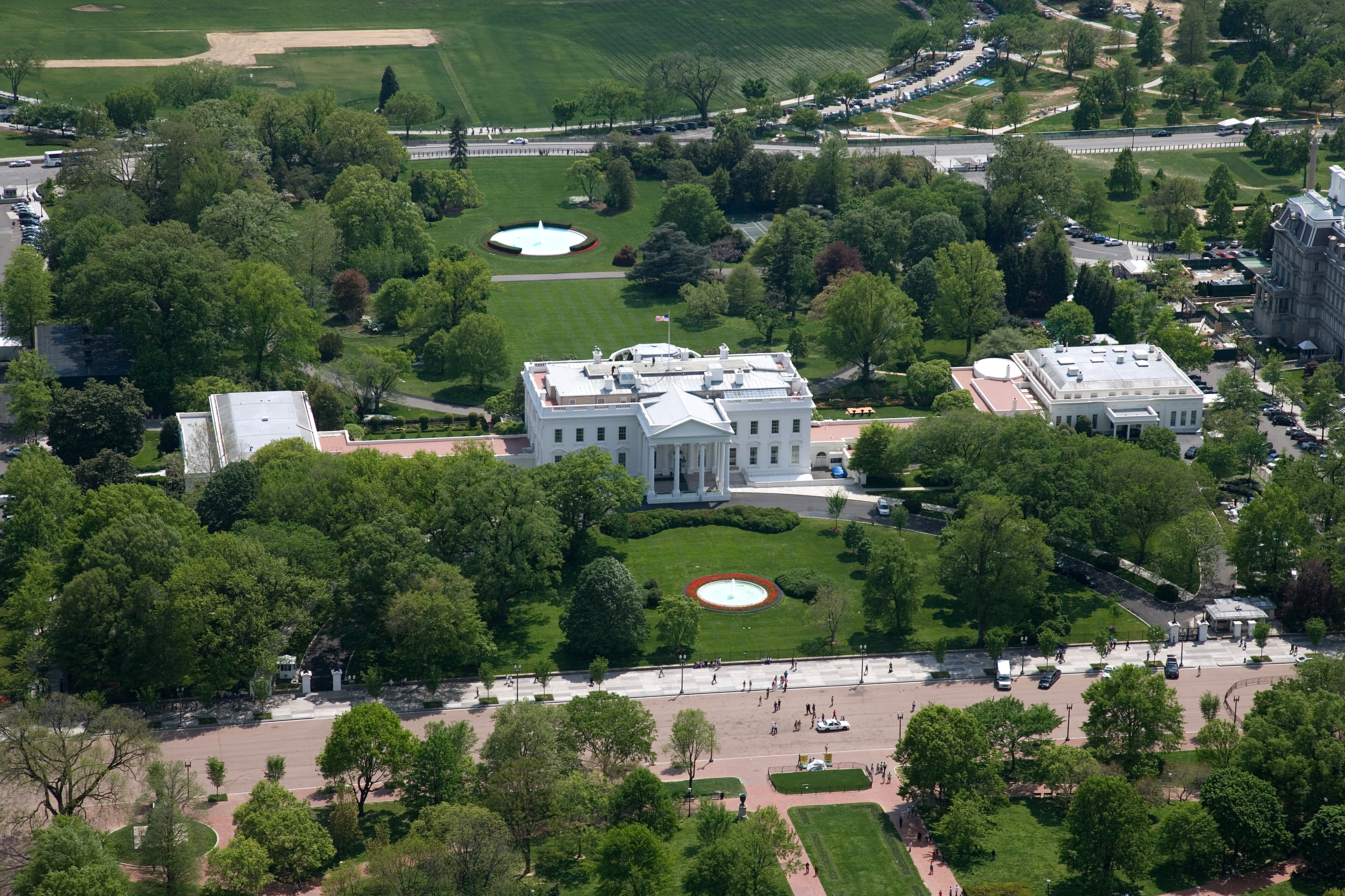
The White House
The White House is the official residence and workplace of the president of the United States. It is located at 1600 Pennsylvania Avenue NW in Washington, D.C., and has been the residence of every U.S. president since John Adams in 1800. The term "White House" is often used as a metonym for the president and his advisers. The residence was designed by Irish-born architect James Hoban in the neoclassical style. Hoban modelled the building on Leinster House in Dublin, a building which today houses the Oireachtas, the Irish legislature. Construction took place between 1792 and 1800, using Aquia Creek sandstone painted white. When Thomas Jefferson moved into the house in 1801, he (with architect Benjamin Henry Latrobe) added low colonnades on each wing that concealed stables and storage. In 1814, during the War of 1812, the mansion was set ablaze by British forces in the Burning of Washington, destroying the interior and charring much of the exterior. Reconstruction began a ... [...More Info...] [...Related Items...] OR: [Wikipedia] [Google] [Baidu] |
Taklamakan Desert
The Taklimakan or Taklamakan Desert (; zh, s=塔克拉玛干沙漠, p=Tǎkèlāmǎgān Shāmò, Xiao'erjing: , dng, Такәламаган Шамә; ug, تەكلىماكان قۇملۇقى, Täklimakan qumluqi; also spelled Taklimakan and Teklimakan) is a desert in Southwestern Xinjiang in Northwest China. It is bounded by the Kunlun Mountains to the south, the Pamir Mountains to the west, the Tian Shan range to the north, and the Gobi Desert to the east. Etymology While most researchers agree on being the Persian word for "place", etymology of ''Takla'' is less clear. The word may be a Uyghur borrowing of the Persian , "to leave alone/out/behind, relinquish, abandon" + ''makan''. Another plausible explanation suggests it is derived from Turki ''taqlar makan'', describing "the place of ruins". Chinese scholars Wang Guowei and Huang Wenbi linked the name to the Tocharians, a historical people of the Tarim Basin, making the meaning of "Taklamakan" similar to "Tocharistan". A ... [...More Info...] [...Related Items...] OR: [Wikipedia] [Google] [Baidu] |
Karakorum
Karakorum (Khalkha Mongolian: Хархорум, ''Kharkhorum''; Mongolian Script:, ''Qaraqorum''; ) was the capital of the Mongol Empire between 1235 and 1260 and of the Northern Yuan dynasty in the 14–15th centuries. Its ruins lie in the northwestern corner of the Övörkhangai Province of modern-day Mongolia, near today's town of Kharkhorin and adjacent to the Erdene Zuu Monastery, the probably earliest surviving Buddhist monastery in Mongolia. They are part of the upper part of the World Heritage Site Orkhon Valley. History Foundation of empires The Orkhon valley was a center of the Xiongnu, Göktürk, and Uyghur empires. To the Göktürks, the nearby Khangai Mountains had been the location of the Ötüken (the locus of power), and the Uyghur capital Karabalgasun was located close to where later Karakorum would be erected (downstream the Orkhon River 27 km north–west from Karakorum). This area is probably also one of the oldest farming areas in Mongolia. ... [...More Info...] [...Related Items...] OR: [Wikipedia] [Google] [Baidu] |


