|
Georgia's 2nd Congressional District
Georgia's 2nd congressional district is a congressional district in the U.S. state of Georgia. The district is currently represented by Democrat Sanford D. Bishop, Jr. Georgia's largest district by land area, it comprises much of the southwestern portion of the state. Much of the district is rural, although the district has a number of small cities and medium-sized towns, such as Albany, Americus, Bainbridge, and Thomasville. It also contains most of Columbus and most of Macon. The district is also the historic and current home of former President Jimmy Carter. The 2nd district is one of the most consistently Democratic in the country, as Democrats have held it since 1875. However, it has grown far less heavily blue in recent years due to shifting demographics. With a PVI of D+6, it is the least Democratic majority-black district in the United States. The district's boundaries were redrawn following the 2010 Census, which granted an additional congressional seat to Ge ... [...More Info...] [...Related Items...] OR: [Wikipedia] [Google] [Baidu] |
Sanford Bishop
Sanford Dixon Bishop Jr. (born February 4, 1947) is an American lawyer and politician serving as the U.S. representative for , serving since 1993. He became the dean of Georgia's congressional delegation after the death of John Lewis. A member of the Blue Dog Coalition, he belongs to the conservative faction of the Democratic Party. His district is in southwestern Georgia and includes Albany, Thomasville, and most of Columbus and Macon. Early life, education, and legal career Bishop was born in Mobile, Alabama, to Minnie B. Slade and Sanford Dixon Bishop, the first president of Bishop State Community College. Bishop obtained a B.A. degree from Morehouse College in 1968, majoring in political science and minoring in English, and a J.D. degree from Emory University School of Law in 1971. At Morehouse, he was a classmate of Herman Cain. He served in the United States Army between 1969 and 1971. After receiving an honorable discharge, Bishop operated a law firm in Columbus, Geor ... [...More Info...] [...Related Items...] OR: [Wikipedia] [Google] [Baidu] |
156th Georgia General Assembly
The 156th Georgia General Assembly convened its first session on January 11, 2021 at the Georgia State Capitol in Atlanta. The current membership of the General Assembly was elected in the 2020 2020 Georgia State Senate election, State Senate and 2020 Georgia House of Representatives election, State House elections. Party composition Senate House of Representatives Members of the State Senate The following is a list of members of the Georgia State Senate. Members of the House of Representatives The following is a list of members of the Georgia House of Representatives. Notes References {{reflist, 2 Georgia (U.S. state) legislative sessions 2021 in Georgia (U.S. state) 2021 U.S. legislative sessions, Georgia ... [...More Info...] [...Related Items...] OR: [Wikipedia] [Google] [Baidu] |
Early County, Georgia
Early County is a county located on the southwest border of the U.S. state of Georgia. As of the 2010 census, the population was 11,008. The county seat is Blakely, where the Early County Courthouse is located. Created on December 15, 1818, it was named for Peter Early, 28th Governor of Georgia. The county is bordered on the west by the Chattahoochee River, forming the border with Alabama. History Prehistoric and nineteenth-century history has been preserved in some of Early County's attractions. It is the site of the Kolomoki Mounds, a park preserving major earthworks built by indigenous peoples of the Woodland culture more than 1700 years ago, from 350 CE to 600 CE. This is one of the largest mound complexes in the United States and the largest in Georgia; it includes burial and ceremonial mounds. The siting of the mounds expresses the ancient people's cosmology, as mounds are aligned with the sun at the spring equinox and summer solstice. The county area was long territor ... [...More Info...] [...Related Items...] OR: [Wikipedia] [Google] [Baidu] |
Dougherty County, Georgia
Dougherty County is located in the southwestern portion of the U.S. state of Georgia. As of the 2020 census, the population was 85,790. The county seat and sole incorporated city is Albany. Dougherty County is included in the Albany, GA Metropolitan Statistical Area. Historically dominated by cotton plantation agriculture in the nineteenth century, it is part of the Black Belt of the South. History The county was created by the Georgia General Assembly on December 15, 1853, from a part of Baker County. It was named after Charles Dougherty, a respected judge and lawyer from Athens, Georgia. In 1854 and 1856 small areas were added from Worth County. As noted above, the county was developed by European Americans using enslaved African Americans as workers for the production of cotton as a commodity crop. Its county seat of Albany, Georgia is located on the Flint River, which was originally the chief means of transportation for shipped products. Albany was later served by se ... [...More Info...] [...Related Items...] OR: [Wikipedia] [Google] [Baidu] |
Dooly County, Georgia
Dooly County is a county located in the central portion of the U.S. state of Georgia. As of the 2010 census, the population was 14,918. The county seat is Vienna. The county was created by an act of the Georgia General Assembly on May 15, 1821, and named for Colonel John Dooly, a Georgia American Revolutionary War fighter. It was one of the original landlot counties created from land ceded from the Creek Nation. The entire county of Crisp and parts of Macon, Pulaski, Turner, Wilcox and Worth counties were formed from Dooly's original borders. Geography According to the U.S. Census Bureau, the county has a total area of , of which is land and (1.3%) is water. The county is located in the upper Atlantic coastal plain region of the state. The western two-thirds of Dooly County, from west of Unadilla south to Pinehurst, then to the southeastern corner of the county, is located in the Middle Flint River sub-basin of the ACF River Basin (Apalachicola-Chattahoochee-Flint Riv ... [...More Info...] [...Related Items...] OR: [Wikipedia] [Google] [Baidu] |
Decatur County, Georgia
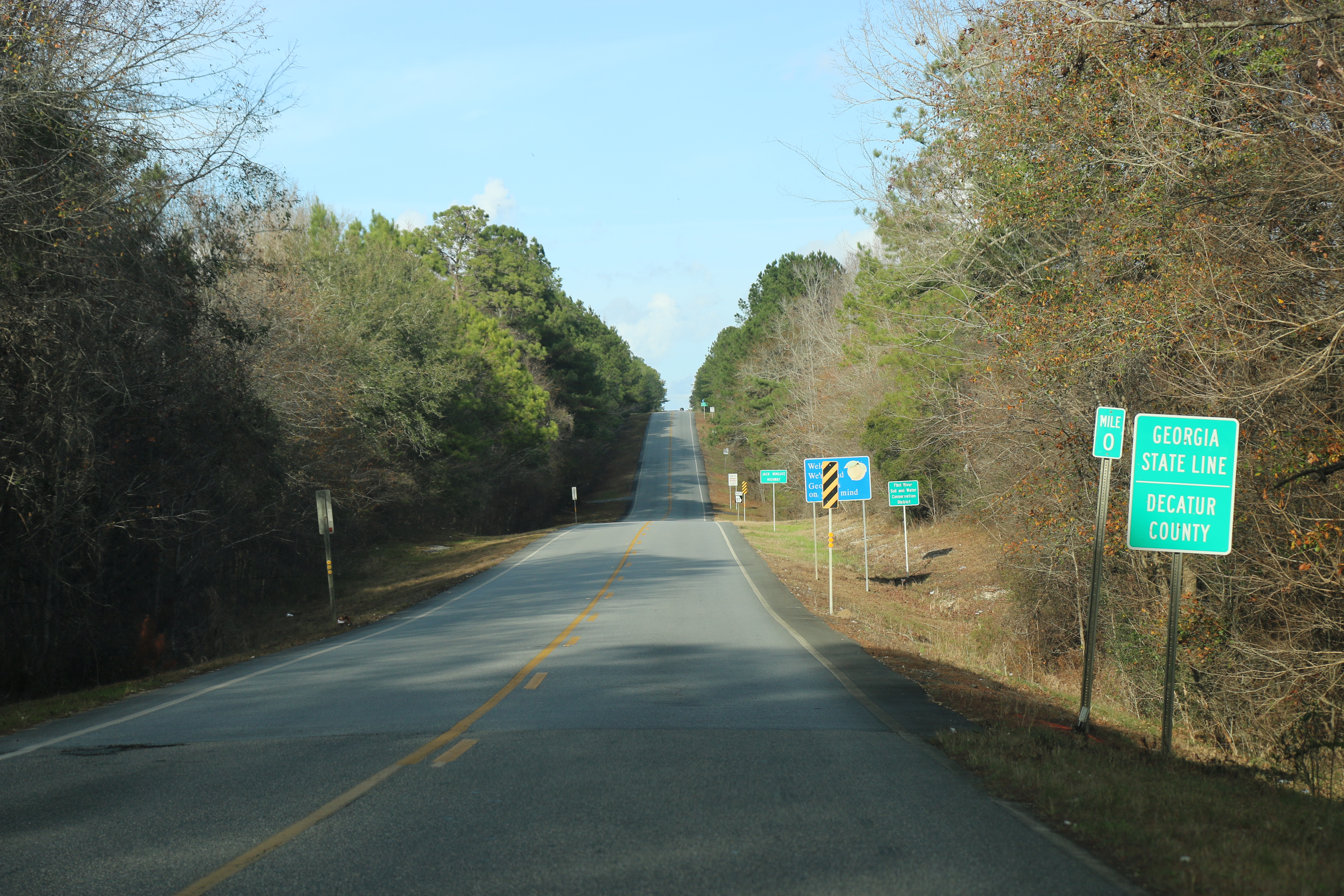
Decatur County is a county located in the U.S. state of Georgia. As of the 2010 census, the population was 27,842. The county seat is Bainbridge. Decatur County comprises the Bainbridge, GA Micropolitan Statistical Area, which is included in the Tallahassee-Bainbridge, FL-GA Combined Statistical Area. History The county was created by an act of the Georgia General Assembly on December 8, 1823, from a portion of Early County. Three other counties were created from land that was originally part of Decatur County. In 1825, a portion of Decatur was used in the creation of Thomas County. In 1905, another portion of Decatur was used in the creation of part of Grady County. In 1920, the western portion of Decatur County was used to form Seminole County in its entirety. Decatur County is named for United States Navy Commodore Stephen Decatur, a hero of the War of 1812. Geography According to the U.S. Census Bureau, the county has a total area of , of which is land and ( ... [...More Info...] [...Related Items...] OR: [Wikipedia] [Google] [Baidu] |
Crisp County, Georgia
Crisp County is a county located in the central portion of the U.S. state of Georgia. As of the 2020 census, the population was 20,128. The county seat is Cordele. The county was created on August 17, 1905, from Dooly County and named for Georgia Congressman Charles Frederick Crisp. Crisp County comprises the Cordele, GA Micropolitan Statistical Area. Geography According to the U.S. Census Bureau, the county has a total area of , of which is land and (3.0%) is water. The western two-thirds of Crisp County, bordered on the east by a line from south of Arabi running northeast, is located in the Middle Flint River sub-basin of the ACF River Basin (Apalachicola-Chattahoochee-Flint River Basin). The eastern third of the county is located in the Alapaha River sub-basin of the Suwannee River. Major highways * Interstate 75 * U.S. Route 41 * U.S. Route 280 * State Route 7 * State Route 30 * State Route 33 * State Route 33 Connector * State Route 90 * State Route ... [...More Info...] [...Related Items...] OR: [Wikipedia] [Google] [Baidu] |
Crawford County, Georgia
Crawford County is a county located in the central portion of the U.S. state of Georgia. As of the 2020 census, the population was 12,130. The county seat is Knoxville. Crawford County is included in the Macon, GA Metropolitan Statistical Area. History Crawford County, in west central Georgia, is Georgia's fifty-seventh county. The county was created on December 9, 1822, from Houston County, which had been formed from land given up by the Creek Indians in the 1821 Treaty of Indian Springs. The county is named for statesman William H. Crawford who had served as a U.S. senator, minister to France, and secretary of the treasury. The first white settlers in the area were Indian agent Benjamin Hawkins. Arriving in 1803, he developed a five-square-mile compound on the Flint River, with slave labor. The compound included a shop and plantation, which became known as the Creek Agency Reserve. Although Hawkins was well liked by the Creeks, he believed, as did many white men of his ... [...More Info...] [...Related Items...] OR: [Wikipedia] [Google] [Baidu] |
Clay County, Georgia
Clay County is a county located in the southwestern part of the U.S. state of Georgia. As of the 2020 census, the population was 2,848, making it the fourth-least populous county in Georgia. The county seat is Fort Gaines. History This area was historically occupied by the Creek Indians until Indian Removal in the 1830s. European Americans pushed them out and developed the land for cotton, bringing in thousands of African slaves to work the land. The county is named in honor of Henry Clay, famous American statesman, member of the United States Senate from Kentucky and United States Secretary of State in the 19th century. Part of the Black Belt geological formation of Georgia, prior to the American Civil War the county's chief commodity crop was cotton, cultivated and processed by farmers and African-American slaves. After the war, the economy continued to be agricultural, but timber was also harvested. Clay was created by a February 16, 1854, act of the Georgia General Assem ... [...More Info...] [...Related Items...] OR: [Wikipedia] [Google] [Baidu] |
Chattahoochee County, Georgia
Chattahoochee County, also known as Cusseta-Chattahoochee County, is a county located on the western border in central Georgia. As of the 2020 census, the population was 9,565. The county seat is Cusseta, with which the county shares a consolidated city-county government. The city of Cusseta remains a geographically distinct municipality within Chattahoochee County. The county was created on February 13, 1854. Chattahoochee County is included in the Columbus, GA- AL Metropolitan Statistical Area. History This area was occupied by the historic Muscogee people (also known as the Creek) at the time of European encounter. They had a large confederacy in the Southeast. They were among the Five Civilized Tribes who were forcibly removed to Indian Territory in the 1830s during the administration of President Andrew Jackson. European Americans moved into their former areas, in some cases acquiring land through lotteries run by the state. The Georgia General Assembly created Chattahoo ... [...More Info...] [...Related Items...] OR: [Wikipedia] [Google] [Baidu] |
Calhoun County, Georgia
Calhoun County is a rural county in the southwestern part of the U.S. state of Georgia. Its county seat is Morgan. History Calhoun County was named for John C. Calhoun, the seventh Vice President of the United States. It was created from parts of Early and Baker counties on February 20, 1854. Rival political factions disagreed about whether the county seat should be in Concord, a community north of present-day Leary, or in Dickey, then known as Whitney. As a compromise, a spot halfway between Concord and Whitney was chosen for the county seat, and the town of Morgan was established there. In 1923 the state legislature moved the county seat to Arlington as directed by a county referendum. This decision was reversed in 1929, restoring Morgan as the county seat. Calhoun Memorial Hospital, a 25-bed critical access hospital in Arlington originally founded as a Hill-Burton hospital, closed in 2013 after 62 years of operation. In 2008, members of the Downtown Busi ... [...More Info...] [...Related Items...] OR: [Wikipedia] [Google] [Baidu] |
Bibb County, Georgia
Bibb County is located in the U.S. state of Georgia. As of the 2020 census, its population was 157,346. Bibb County is geographically located in the Central Georgia (Middle Georgia) region, and is the largest county in the Macon metropolitan area (metropolitan statistical area). Bibb County has a consolidated city-county government following a merger of the county with its county seat and largest city, Macon, in 2014. They were later joined in this consolidated government in 2015 by the county's only other municipality, Payne City. History This area was inhabited for thousands of years by successive indigenous peoples. The Ocmulgee National Monument is a national park and historic site incorporating two major mound and town complexes: Lamar Mounds and Village Site and Ocmulgee Mound Site, both located along the Ocmulgee River. They were built by indigenous peoples during the Mississippian culture era. The detailed chronicles of the Hernando de Soto expedition recorded vi ... [...More Info...] [...Related Items...] OR: [Wikipedia] [Google] [Baidu] |


