|
Futiga
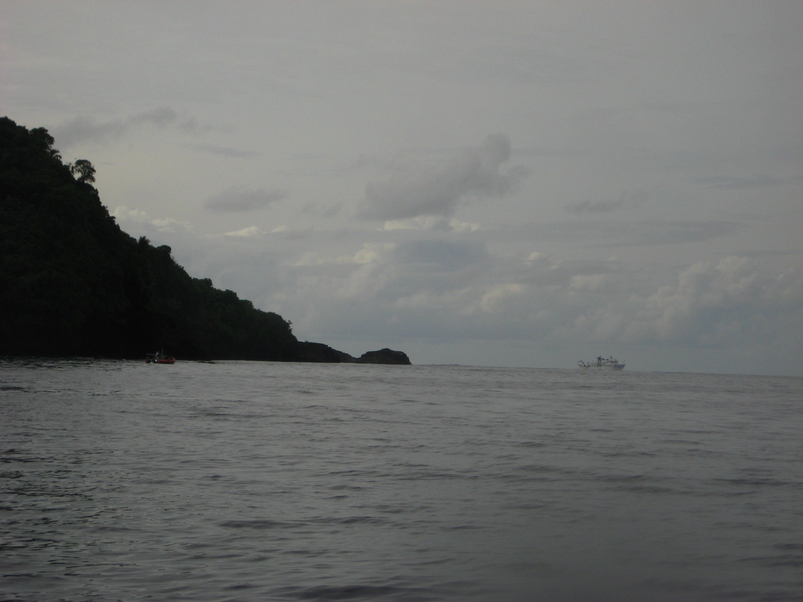
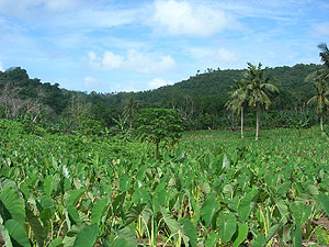
Futiga ( sm, Fūtiga , pronounced "Futinga") is a village in the southwest of Tutuila Island, American Samoa. It is located inland, seven miles southwest of Pago Pago, between the villages of 'Ili'ili and Puapua. It is in Tualatai County. Futiga is home of the Fagatele Bay Site, an archeological site which was added to the U.S. National Register of Historic Places in 1997. Futiga is the Extreme points of the United States, southernmost town in the United States (because it includes Steps Point) — Rose Atoll is further south, but Rose Atoll is uninhabited. Geography Fagatele Bay Trail is a 1-mile roundtrip hiking trail to the Fagatele Bay National Marine Sanctuary from the village of Futiga. Fagatele Bay National Marine Sanctuary is a protected nature area home to animals such as turtles and sharks. When traveling west on Route 1 to Futiga, turn left just before US Mart. Follow the road past the landfill until you reach a locked gate. The trailhead is located here. Fogama'a Cr ... [...More Info...] [...Related Items...] OR: [Wikipedia] [Google] [Baidu] |
Tualatai County, American Samoa
Tuālā-tai County is one of the five Administrative divisions of American Samoa, counties that make up the Western District (''le Falelima i Sisifo'') of American Samoa. The other four are Ālātaua, Fofō, Leāsina (Aitūlagi) and Tuālā-uta (Ma’upū). The villages of Futiga, American Samoa, Fūtiga, Malaeloa/Ituau, Itū'au (Malaeloa), Taputimu, American Samoa, Taputimu and Vailoatai, American Samoa, Vailoatai form the itūmālō (county/district) o Tuālātai. Part of the Puapua area starting from the junction of Taputimu Road and Route 001 to Futiga are lands that belong to Tuālā-tai families and are part of the county. Vailoatai serves as the county’s principality as the titular head of the district (fa'asuaga) is located here. The county is represented by one senator in the American Samoa Senate and by one representative in the American Samoa House of Representatives. It is the fourth most populous Administrative divisions of American Samoa, county of American Samo ... [...More Info...] [...Related Items...] OR: [Wikipedia] [Google] [Baidu] |
Extreme Points Of The United States
This is a list of points in the United States that are farther north, south, east or west than any other location in the country. Also included are extreme points in elevation, extreme distances and other points of peculiar geographic interest. Northernmost points *Point Barrow, Alaska – northernmost point in the United States *Utqiaġvik, Alaska – northernmost incorporated place in all U.S. territory, population about 4,000 *Fairbanks, Alaska – northernmost city of more than 20,000 residents, and northernmost incorporated city with public road access *Anchorage, Alaska – northernmost city of more than 100,000 residents *Juneau, Alaska – northernmost capital city in the United States *Northwest Angle Inlet in Lake of the Woods, Minnesota – northernmost point in the 48 contiguous states * Sumas, Washington – northernmost incorporated place in the 48 contiguous states *Lynden, Washington – northernmost city o ... [...More Info...] [...Related Items...] OR: [Wikipedia] [Google] [Baidu] |
Fogama'a Crater
Fogama'a Crater ( sm, Fogāma'a) is a valley basin on Tutuila Island, American Samoa, immediately north of Larsen Bay. It is within the village of Futiga, just below Logotala Hill.Goldin, Meryl Rose (2002). ''Field Guide to the Samoan Archipelago: Fish, Wildlife, and Protected Areas''. Bess Press. Page 282. . It is also known as Hidden Beach or Larsen’s Cove. It is a prominent crater on the island. The Fogama'a Crater National Natural Landmark contains 485 acres and was designated in 1972. It is scenic and geologically significant as the most recent illustration of volcanism in American Samoa. It is one of very few places where illustrations of the most recent episode of American Samoa volcanism can be seen. The crater is situated immediately inland from Larsen Bay, which contains two smaller coves: Fagalua and Fogama'a. Fogama'a Cove is an idyllic and isolated beach on the inner margin of Larsen's Bay. There are extensive seabird breeding grounds in Larsen's Bay. Fogama'a ... [...More Info...] [...Related Items...] OR: [Wikipedia] [Google] [Baidu] |
Taputimu
Taputimu is a village in southwestern Tutuila Island in American Samoa. It is the nearest village to the Fagatele Bay National Marine Sanctuary, although the main access is from the neighboring village of Futiga Futiga ( sm, Fūtiga , pronounced "Futinga") is a village in the southwest of Tutuila Island, American Samoa. It is located inland, seven miles southwest of Pago Pago, between the villages of 'Ili'ili and Puapua. It is in Tualatai County. Futi .... It is home to Leala Shoreline National Natural Landmark and Leala Sliding Rock. Leala Sliding Rock is a natural rock formation between Vailoatai and Taputimu, which is a scenic landmark as well as a natural playground or slide. It was created by the ebb and flow of the ocean; the erosion has created a smooth shoreline site. It is located in Tualatai County in the Western District of Tutuila. Le'ala Shoreline National Natural Landmark is 35 acres and was designated in 1972. Leala Sliding Rock is accessible from Taputimu. ... [...More Info...] [...Related Items...] OR: [Wikipedia] [Google] [Baidu] |
'Ili'ili
Iliili is a village in the southwest of Tutuila Island, American Samoa. It is located seven miles inland, southwest of Pago Pago, between the villages of Futiga and Vaitogi. It is in Tuālāuta County. Iliili is home to American Samoa's only golf course, which is an 18-hole golf course maintained by the Department of Parks and Recreation. It is 120 acres. Demographics Notable residents *Savali Talavou Ale – Speaker of the American Samoa House of Representatives (since 2007) * Pita Elisara – American football offensive lineman * A. P. Lutali – former Governor of American Samoa (1985–1989, 1993–1997) * Tuia'ana T. Letuli - representative (1952 - 57) and police chief (1957 - 1967) * Susana Leiato Lutali – former First Lady of American Samoa The First Lady of American Samoa is the title attributed to the wife of the governor of American Samoa. To date, there have been no first gentlemen of American Samoa. The current first lady is Ella Mauga, wife of Governor Lemanu ... [...More Info...] [...Related Items...] OR: [Wikipedia] [Google] [Baidu] |
Fagatele Bay Site
The Fagatele Bay Site is an archaeological site on the shore of Fagatele Bay on the south side of Tutuila, the main island of the United States territory of American Samoa. The site shows evidence of habitation from prehistoric to historic times, and is well preserved in part because of the relative difficulty of land access to the area. It has ten distinct features, including raised platforms, stone walls, and a stone-line path. In one feature, interpreted as a house site, a complete prehistoric-era adze was found. When surveyed in 1985, these features could not be chronologically organized or correlated. The site was listed on the National Register of Historic Places in 1997. See also *National Register of Historic Places listings in American Samoa File:American Samoa Districts.png, 250px, American Samoa districts (clickable) poly 520 1249 517 1248 482 1247 473 1230 456 1230 450 1237 440 1228 432 1218 428 1216 432 1210 431 1202 429 1198 429 1190 434 1182 438 1180 420 1158 ... [...More Info...] [...Related Items...] OR: [Wikipedia] [Google] [Baidu] |
Green Sea Turtles
The green sea turtle (''Chelonia mydas''), also known as the green turtle, black (sea) turtle or Pacific green turtle, is a species of large sea turtle of the family Cheloniidae. It is the only species in the genus ''Chelonia''. Its range extends throughout tropical and subtropical seas around the world, with two distinct populations in the Atlantic and Pacific Oceans, but it is also found in the Indian Ocean. The common name refers to the usually green fat found beneath its carapace, not to the color of its carapace, which is olive to black. The dorsoventrally flattened body of ''C. mydas'' is covered by a large, teardrop-shaped carapace; it has a pair of large, paddle-like flippers. It is usually lightly colored, although in the eastern Pacific populations, parts of the carapace can be almost black. Unlike other members of its family, such as the hawksbill sea turtle, ''C. mydas'' is mostly herbivorous. The adults usually inhabit shallow lagoons, feeding mostly on various s ... [...More Info...] [...Related Items...] OR: [Wikipedia] [Google] [Baidu] |
1930 United States Census
The United States census of 1930, conducted by the Census Bureau one month from April 1, 1930, determined the resident population of the United States to be 122,775,046, an increase of 13.7 percent over the 106,021,537 persons enumerated during the 1920 census. Census questions The 1930 census collected the following information: * address * name * relationship to head of family * home owned or rented ** if owned, value of home ** if rented, monthly rent * whether owned a radio set * whether on a farm * sex * race * age * marital status and, if married, age at first marriage * school attendance * literacy * birthplace of person, and their parents * if foreign born: ** language spoken at home before coming to the U. S. ** year of immigration ** whether naturalized ** ability to speak English * occupation, industry and class of worker * whether at work previous day (or last regular work day) * veteran status * if Indian: ** whether of full or mixed blood ** tribal affiliation F ... [...More Info...] [...Related Items...] OR: [Wikipedia] [Google] [Baidu] |
1940 United States Census
The United States census of 1940, conducted by the Census Bureau, determined the resident population of the United States to be 132,164,569, an increase of 7.3 percent over the 1930 population of 122,775,046 people. The census date of record was April 1, 1940. A number of new questions were asked including where people were five years before, highest educational grade achieved, and information about wages. This census introduced sampling techniques; one in 20 people were asked additional questions on the census form. Other innovations included a field test of the census in 1939. This was the first census in which every state (48) had a population greater than 100,000. Census questions The 1940 census collected the following information: * address * home owned or rented ** if owned, value ** if rented, monthly rent * whether on a farm * name * relationship to head of household * sex * race * age * marital status * school attendance * educational attainment * birthplace * if f ... [...More Info...] [...Related Items...] OR: [Wikipedia] [Google] [Baidu] |
1950 United States Census
The United States census of 1950, conducted by the Census Bureau, determined the resident population of the United States to be 150,697,361, an increase of 14.5 percent over the 131,669,275 persons enumerated during the 1940 census. This was the first census in which: * More than one state recorded a population of over 10 million * Every state and territory recorded a population of over 100,000 * All 100 largest cities recorded populations of over 100,000 On April 1, 2022, the National Archives and Records Administration released scanned census enumeration sheets to the general public, in accordance with the 72 year rule. Census questions The 1950 census collected the following information from all respondents: * address * whether house is on a farm * name * relationship to head of household * race * sex * age * marital status * birthplace * if foreign born, whether naturalized * employment status * hours worked in week * occupation, industry and class of worker In addition ... [...More Info...] [...Related Items...] OR: [Wikipedia] [Google] [Baidu] |


