|
Frankfurt Lokalbahnhof
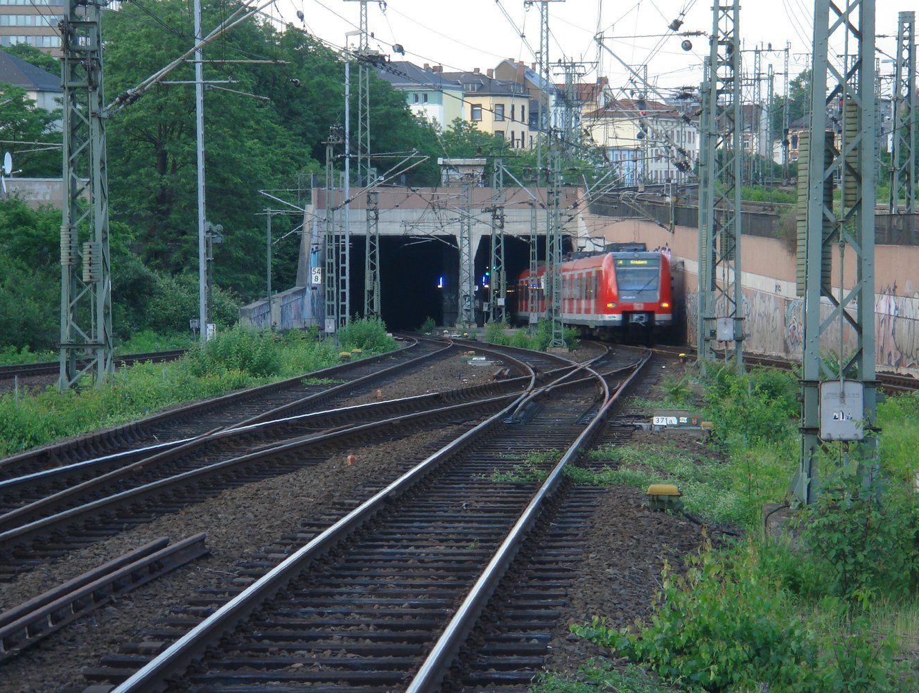
Frankfurt Lokalbahnhof is an underground S-Bahn station in the district of Sachsenhausen of Frankfurt am Main, Germany. The station was opened when the City Tunnel was extended to Frankfurt South station in 1990. It consists of two tracks, surrounding a central platform. The station is an important public transport interchange and is served by S-Bahn, tram and bus routes. The S-Bahn station is located underground, while the trams and buses run on the surface. The station is named after the old Lokalbahnhof, the terminus of the former Frankfurt-Offenbach Local Railway (german: Frankfurt-Offenbacher Lokalbahn), which served the neighbourhood from 1848 until 1955, with breaks at the end of World War I and II. Its terminus in Frankfurt was called the ''Lokalbahnhof'' (literally: "Local Railway station"). In 1990, the S-Bahn station was built about 250 metres south of the site of the historic ''Lokalbahnhof'' and the modern ''Lokalbahnhof'' tram stop. It is on the City Tunnel S-Ba ... [...More Info...] [...Related Items...] OR: [Wikipedia] [Google] [Baidu] |
Frankfurt Am Main
Frankfurt, officially Frankfurt am Main (; Hessian: , "Frank ford on the Main"), is the most populous city in the German state of Hesse. Its 791,000 inhabitants as of 2022 make it the fifth-most populous city in Germany. Located on its namesake Main River, it forms a continuous conurbation with the neighboring city of Offenbach am Main and its urban area has a population of over 2.3 million. The city is the heart of the larger Rhine-Main metropolitan region, which has a population of more than 5.6 million and is Germany's second-largest metropolitan region after the Rhine-Ruhr region. Frankfurt's central business district, the Bankenviertel, lies about northwest of the geographic center of the EU at Gadheim, Lower Franconia. Like France and Franconia, the city is named after the Franks. Frankfurt is the largest city in the Rhine Franconian dialect area. Frankfurt was a city state, the Free City of Frankfurt, for nearly five centuries, and was one of the most import ... [...More Info...] [...Related Items...] OR: [Wikipedia] [Google] [Baidu] |
World War I
World War I (28 July 1914 11 November 1918), often abbreviated as WWI, was one of the deadliest global conflicts in history. Belligerents included much of Europe, the Russian Empire, the United States, and the Ottoman Empire, with fighting occurring throughout Europe, the Middle East, Africa, the Pacific, and parts of Asia. An estimated 9 million soldiers were killed in combat, plus another 23 million wounded, while 5 million civilians died as a result of military action, hunger, and disease. Millions more died in genocides within the Ottoman Empire and in the 1918 influenza pandemic, which was exacerbated by the movement of combatants during the war. Prior to 1914, the European great powers were divided between the Triple Entente (comprising France, Russia, and Britain) and the Triple Alliance (containing Germany, Austria-Hungary, and Italy). Tensions in the Balkans came to a head on 28 June 1914, following the assassination of Archduke Franz Ferdin ... [...More Info...] [...Related Items...] OR: [Wikipedia] [Google] [Baidu] |
Rhine-Main S-Bahn Stations
The Rhine-Main Metropolitan Region, often simply referred to as Frankfurt Rhine-Main, Frankfurt Rhine-Main area or Rhine-Main area (German: ''Rhein-Main-Gebiet'' or ''Frankfurt/Rhein-Main'', abbreviated FRM), is the second-largest metropolitan region in Germany after Rhine-Ruhr, with a total population exceeding 5.8 million. The metropolitan region is located in the central-western part of Germany, and stretches over parts of three German states: Hesse, Rhineland-Palatinate, and Bavaria. The largest cities in the region are Frankfurt am Main, Wiesbaden, Mainz, Darmstadt, Offenbach, Worms, Hanau, and Aschaffenburg. The polycentric region is named after its core city, Frankfurt, and the two rivers Rhine and Main. The Frankfurt Rhine-Main area is officially designated as a European Metropolitan region by the German Federal Ministry of Transport, Building and Urban Affairs and covers an area of roughly . Subdivisions Although Rhine-Main is considered to be a polycentric metropolit ... [...More Info...] [...Related Items...] OR: [Wikipedia] [Google] [Baidu] |
S6 (Rhine-Main S-Bahn)
The S6 service of the S-Bahn Rhein-Main The Rhine-Main S-Bahn system is an integrated rapid transit and commuter train system for the Frankfurt/Rhine-Main region, which includes the cities Frankfurt am Main, Wiesbaden, Mainz, Offenbach am Main, Hanau and Darmstadt. The network comp ... system bearing the KBS (German scheduled railway route) number 645.6 Routes Main-Weser Railway City tunnel The city tunnel is an underground, pure S-Bahn route used by almost all services (except for the S7 service which terminates at the central station). In a short section between Mühlberg and Offenbach-Kaiserlei the South Main railway is used. History The S6 was one of the first six services of the Rhine-Main S-Bahn system. In a prior test operation it ran between Kronberg and Frankfurt Central Station. The service was then called R6 where the letter "R" stands for regional. After the opening of the Frankfurt Citytunnel the service was renamed to S6 and extended to the n ... [...More Info...] [...Related Items...] OR: [Wikipedia] [Google] [Baidu] |
S5 (Rhine-Main S-Bahn)
The S5 service of the S-Bahn Rhein-Main system bearing the KBS (German scheduled railway route) number 645.5 Routes Homburg Railway The Homburg Railway connects Frankfurt Central Station with Friedrichsdorf, via Bad Homburg. It was opened on 10 September 1860 and electrified on 26 September 1970. S-Bahn services commenced on the line on 25 September 1977. City tunnel The city tunnel is an underground, pure S-Bahn route used by almost all services (except for the S7 service which terminates at the central station). In a short section between Mühlberg and Offenbach-Kaiserlei the South Main railway is used. History The S5 was one of the first six services of the Rhine-Main S-Bahn system. In a prior test operation it ran between Friedrichsdorf and Frankfurt Central Station. The service was then called R5 where the letter "R" stands for regional. After the opening of the Frankfurt Citytunnel the service was renamed to S5 and extended to the new Hauptwache undergr ... [...More Info...] [...Related Items...] OR: [Wikipedia] [Google] [Baidu] |
S4 (Rhine-Main S-Bahn)
The S4 service of the S-Bahn Rhein-Main The Rhine-Main S-Bahn system is an integrated rapid transit and commuter train system for the Frankfurt/Rhine-Main region, which includes the cities Frankfurt am Main, Wiesbaden, Mainz, Offenbach am Main, Hanau and Darmstadt. The network comp ... system bearing the KBS (German scheduled railway route) number 645.4 Routes Kronberg Railway Homburg Railway City tunnel The city tunnel is an underground, pure S-Bahn route used by almost all services (except for the S7 service which terminates at the central station). In a short section between Mühlberg and Offenbach-Kaiserlei the South Main railway is used. Main-Neckar Railway History The S4 was one of the first six services of the Rhine-Main S-Bahn system. In a prior test operation it ran between Kronberg and Frankfurt Central Station. The service was then called R4 where the letter "R" stands for regional. After the opening of the Frankfurt Citytunnel the servi ... [...More Info...] [...Related Items...] OR: [Wikipedia] [Google] [Baidu] |
S3 (Rhine-Main S-Bahn)
The S3 service of the S-Bahn Rhein-Main The Rhine-Main S-Bahn system is an integrated rapid transit and commuter train system for the Frankfurt/Rhine-Main region, which includes the cities Frankfurt am Main, Wiesbaden, Mainz, Offenbach am Main, Hanau and Darmstadt. The network comp ... system bearing the KBS (German scheduled railway route) number 645.3 Lines Limes Railway Homburg Railway City tunnel The city tunnel is an underground, pure S-Bahn route used by almost all services (except for the S7 service which terminates at the central station). Main-Neckar Railway History The S3 was one of the first six services of the Rhine-Main S-Bahn system. In a prior test operation it ran between Frankfurt-Höchst and Frankfurt Central Station. The service was then called R3 where the letter "R" stands for regional. After the opening of the Frankfurt Citytunnel the service was renamed to S3 and extended to the new Hauptwache underground station. Further extensio ... [...More Info...] [...Related Items...] OR: [Wikipedia] [Google] [Baidu] |
Frankfurt South Station
Frankfurt, officially Frankfurt am Main (; Hessian: , "Frank ford on the Main"), is the most populous city in the German state of Hesse. Its 791,000 inhabitants as of 2022 make it the fifth-most populous city in Germany. Located on its namesake Main River, it forms a continuous conurbation with the neighboring city of Offenbach am Main and its urban area has a population of over 2.3 million. The city is the heart of the larger Rhine-Main metropolitan region, which has a population of more than 5.6 million and is Germany's second-largest metropolitan region after the Rhine-Ruhr region. Frankfurt's central business district, the Bankenviertel, lies about northwest of the geographic center of the EU at Gadheim, Lower Franconia. Like France and Franconia, the city is named after the Franks. Frankfurt is the largest city in the Rhine Franconian dialect area. Frankfurt was a city state, the Free City of Frankfurt, for nearly five centuries, and was one of the most important ... [...More Info...] [...Related Items...] OR: [Wikipedia] [Google] [Baidu] |
Innenstadt (Frankfurt Am Main)
The Innenstadt (''inner city'') is the central city district of Frankfurt am Main, Germany. It is part of the ''Ortsbezirk Innenstadt I''. Its western part forms part of Frankfurt's central business district, the Bankenviertel. Germany's most expensive shopping streets and real estate are found within the city district. The Innenstadt stretches in the north and east round the district of Altstadt. Other adjacent districts to the west are Bahnhofsviertel, in the north west the Westend, Nordend to the north and Ostend to the east. In the south, the Innenstadt is bordered naturally by the Main on the opposite bank of which stands the Applewine quarter known as Sachsenhausen. The Innenstadt and Altstadt were formed within the borders made up of the ''Anlagen'' (stretches of grassy park land) lying to the right of the Main and are thereby clearly recognisable on the city plan. The enclosures of park land of a contrast to the skyscrapers and the banking quarter. The Zeil, Frankfu ... [...More Info...] [...Related Items...] OR: [Wikipedia] [Google] [Baidu] |
World War II
World War II or the Second World War, often abbreviated as WWII or WW2, was a world war that lasted from 1939 to 1945. It involved the vast majority of the world's countries—including all of the great powers—forming two opposing military alliances: the Allies and the Axis powers. World War II was a total war that directly involved more than 100 million personnel from more than 30 countries. The major participants in the war threw their entire economic, industrial, and scientific capabilities behind the war effort, blurring the distinction between civilian and military resources. Aircraft played a major role in the conflict, enabling the strategic bombing of population centres and deploying the only two nuclear weapons ever used in war. World War II was by far the deadliest conflict in human history; it resulted in 70 to 85 million fatalities, mostly among civilians. Tens of millions died due to genocides (including the Holocaust), starvation, ma ... [...More Info...] [...Related Items...] OR: [Wikipedia] [Google] [Baidu] |


