|
Frank Forrest Latta
Frank Forrest Latta (1892–1983), was a California historian and ethnographer of the Yokuts people. He also wrote histories of the early European-American settlement of the San Joaquin Valley. Early life Frank Forrest Latta was the son of Presbyterian minister Eli C. Latta and teacher Harmonia Campbell, born on September 18, 1892, in Stanislaus County, near Orestimba Creek. Latta lived most of his life in the San Joaquin Valley. His father and three older brothers had come to California from Arkansas during the California Gold Rush. His father and one brother remained in California, where they were joined by his mother. One brother returned to Arkansas, and the third wrote that he was returning to Arkansas with $8,000 in gold, but disappeared without a trace. As a young boy Latta worked on several ranches in the San Joaquin Valley. He became interested in the stories of the early pioneers. In 1906, at the age of 14, he began interviewing people and gathering research regarding ea ... [...More Info...] [...Related Items...] OR: [Wikipedia] [Google] [Baidu] |
California
California is a U.S. state, state in the Western United States, located along the West Coast of the United States, Pacific Coast. With nearly 39.2million residents across a total area of approximately , it is the List of states and territories of the United States by population, most populous U.S. state and the List of U.S. states and territories by area, 3rd largest by area. It is also the most populated Administrative division, subnational entity in North America and the 34th most populous in the world. The Greater Los Angeles area and the San Francisco Bay Area are the nation's second and fifth most populous Statistical area (United States), urban regions respectively, with the former having more than 18.7million residents and the latter having over 9.6million. Sacramento, California, Sacramento is the state's capital, while Los Angeles is the List of largest California cities by population, most populous city in the state and the List of United States cities by population, ... [...More Info...] [...Related Items...] OR: [Wikipedia] [Google] [Baidu] |
William Mayfield
William Mayfield (1810–1862) was an American pioneer in Illinois, Texas, and California; a soldier, farmer, miner, and a cattleman. He led Tulare County militia to aid settlers in the early part of the Owens Valley Indian War and was killed in the Battle of Mayfield Canyon. Early life in Tennessee & Illinois William Mayfield, was born in Tennessee, in 1810, son of Elijah and Elizabeth Mayfield. His first marriage was on October 6, 1828 to Terissa Faller, also called "Tussa", from Hardeman County, Tennessee. They had 2 children born in Illinois, John Mayfield in 1829 and Benjamin Mayfield in 1831. In 1832, William Mayfield served in the Black Hawk War, as a private in the Company of Captain Levi D. Boone, Brigade of Mounted Volunteers. His unit was mustered into service on April 26, 1832 at Beardstown, Illinois, after being enrolled by the Captain at Montgomery, Illinois on April 20 for 60 days. Mayfield was mustered out of service, along with his unit at the mouth of the Fox Ri ... [...More Info...] [...Related Items...] OR: [Wikipedia] [Google] [Baidu] |
Joaquín Murrieta
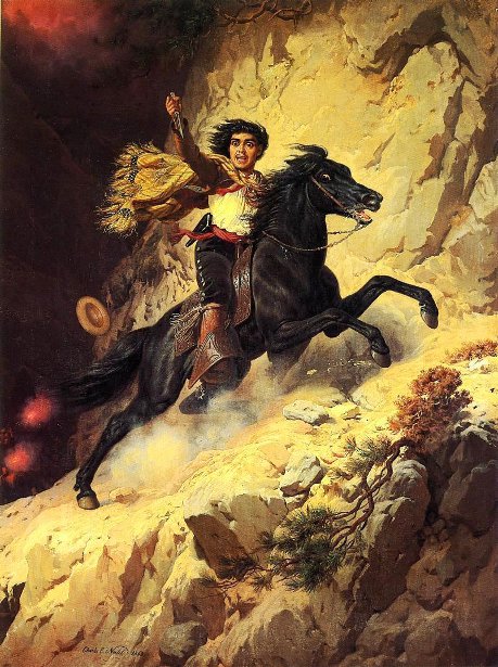
Joaquin Murrieta Carrillo (sometimes spelled Murieta or Murietta) (1829 – July 25, 1853), also called the Robin Hood of the West or the Robin Hood of El Dorado, was a Mexican-American figure of disputed historicity. The novel '' The Life and Adventures of Joaquín Murieta: The Celebrated California Bandit'' (1854) by John Rollin Ridge ostensibly recounts his story. Legends subsequently arose about a notorious outlaw in California during the California Gold Rush of the 1850s, but evidence for a historical Murrieta is scarce. Contemporary documents record testimony in 1852 concerning a minor horse thief of that name. Newspapers reported'' banditos'' named Joaquin, who robbed and killed several people during the same time. A California Ranger named Harry Love was assigned to track down Murrieta and was said to have brought his head in for the bounty. The popular legend of Joaquin Murrieta was that he was a forty-niner, a gold miner and a ''vaquero ''from Sonora. Peace loving, ... [...More Info...] [...Related Items...] OR: [Wikipedia] [Google] [Baidu] |
Pigeon Point Lighthouse
Pigeon Point Light Station or Pigeon Point Lighthouse is a lighthouse built in 1871 to guide ships on the Pacific coast of California. It is the tallest lighthouse (tied with Point Arena Light) on the West Coast of the United States. It is still an active Coast Guard aid to navigation. Pigeon Point Light Station is located on the coastal highway ( State Route 1), south of Pescadero, California, between Santa Cruz and San Francisco. The , white masonry tower, resembles the typical New England structure. The lighthouse and the land around have been preserved as Pigeon Point Light Station State Historic Park, a California state park. The lighthouse is also listed on the National Register of Historic Places, and designated as a California Historical Landmark. The lighthouse is currently undergoing major renovations funded by the California state legislature in 2021. Research published 2022 by the San Mateo County Office of Sustainability found that the lighthouse was vulnerable ... [...More Info...] [...Related Items...] OR: [Wikipedia] [Google] [Baidu] |
Gazos Creek
Gazos Creek is a stream in San Mateo County, California, in the United States. Gazos was likely derived from the Spanish word ''garzas'' meaning "herons". See also *List of rivers of California This is a list of rivers in the U.S. state of California, grouped by region. Major lakes and reservoirs, if applicable, are indicated in italics. North Coast (north of Humboldt Bay) Rivers and streams between the Oregon border and Humboldt Bay th ... References Rivers of San Mateo County, California {{California-river-stub ... [...More Info...] [...Related Items...] OR: [Wikipedia] [Google] [Baidu] |
Pescadero, California
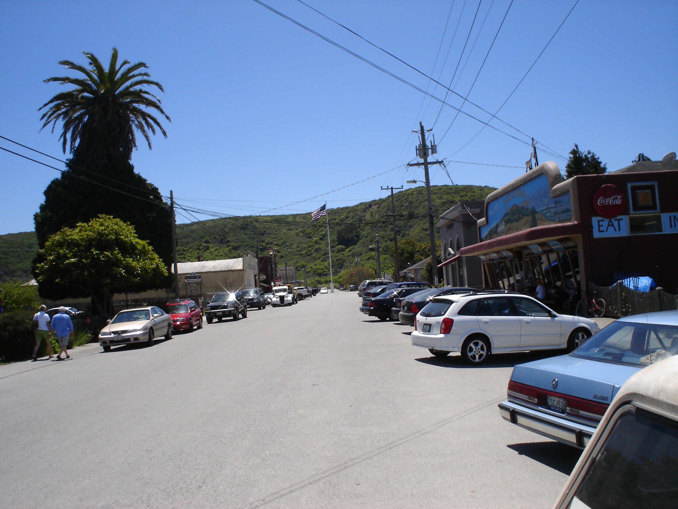
Pescadero (Spanish for "Fishmonger") is an unincorporated town and census-designated place (CDP) in San Mateo County, California, two miles (3 km) east of State Route 1 and Pescadero State Beach. The town is south of Half Moon Bay. The ZIP Code is 94060 and the community is inside area code 650. The population was 595 at the 2020 census. About Pescadero is a farming and ranching community near the Pescadero Marsh, a wildlife refuge. Pescadero Creek, the longest stream in San Mateo County, is an annual creek that empties into the Pacific Ocean near the town. Many of the buildings in town date from the 19th century. Pescadero is situated near the Pacific Ocean, about south of Half Moon Bay and about north of Santa Cruz. Pescadero is also a weekend tourist destination during the summer months because of beaches, parks including Memorial Park and Butano State Park, Pigeon Point Lighthouse and Hostel, as well as extensive rural roads for biking and trails for hiking in the ... [...More Info...] [...Related Items...] OR: [Wikipedia] [Google] [Baidu] |
San Mateo County
San Mateo County ( ), officially the County of San Mateo, is a county located in the U.S. state of California. As of the 2020 census, the population was 764,442. Redwood City is the county seat, and the third most populated city following Daly City and San Mateo. San Mateo County is included in the San Francisco-Oakland-Berkeley, CA MSA (metropolitan statistical area), Silicon Valley, and is part of the San Francisco Bay Area, the nine counties bordering San Francisco Bay. It covers most of the San Francisco Peninsula. San Francisco International Airport is located in the northeastern area of the county and is approximately 7 miles south of the city and county limits of San Francisco, even though the airport itself is assigned a San Francisco postal address. The county's built-up areas are mostly suburban, and are home to several corporate campuses. History San Mateo County was formed in 1856 upon the division of San Francisco County, one of the state's 18 original counties ... [...More Info...] [...Related Items...] OR: [Wikipedia] [Google] [Baidu] |
Petroleum Industry
The petroleum industry, also known as the oil industry or the oil patch, includes the global processes of exploration, extraction, refining, transportation (often by oil tankers and pipelines), and marketing of petroleum products. The largest volume products of the industry are fuel oil and gasoline (petrol). Petroleum is also the raw material for many chemical products, including pharmaceuticals, solvents, fertilizers, pesticides, synthetic fragrances, and plastics. The industry is usually divided into three major components: upstream, midstream, and downstream. Upstream regards exploration and extraction of crude oil, midstream encompasses transportation and storage of crude, and downstream concerns refining crude oil into various end products. Petroleum is vital to many industries, and is necessary for the maintenance of industrial civilization in its current configuration, making it a critical concern for many nations. Oil accounts for a large percentage of the wor ... [...More Info...] [...Related Items...] OR: [Wikipedia] [Google] [Baidu] |
Bakersfield
Bakersfield is a city in Kern County, California, United States. It is the county seat and largest city of Kern County. The city covers about near the southern end of the San Joaquin Valley and the Central Valley region. Bakersfield's population as of the 2020 census was 403,455, making it the 48th-most populous city in the United States of America and the 9th-most populous city in California. The Bakersfield–Delano Metropolitan Statistical Area, which includes all of Kern County, had a 2020 census population of 909,235, making it the 62nd-largest metropolitan area in the United States. The more built-up portion of the metro area that includes Bakersfield and areas immediately around the city, such as East Bakersfield, Oildale, and Rosedale, has a population of 523,994. Bakersfield is a significant hub for both agriculture and energy production. Kern County is the most productive oil-producing county in California and the fourth-most productive agricultural county (by ... [...More Info...] [...Related Items...] OR: [Wikipedia] [Google] [Baidu] |
Kern County Museum
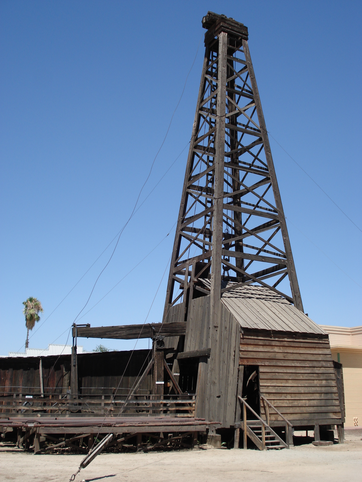
The Kern County Museum is a history museum located in Bakersfield, California. Its main focus is the history of Kern County. Pioneer Village, located on , contains over 50 original buildings from around the county, related to life in the late 19th century. Other features include: Lori Brock Children's Discovery Center, Black Gold exhibit, and Neon Plaza. The museum is accredited by the American Alliance of Museums. One of the most recognizable structures at the museum is the Beale Memorial Clock Tower, located on the lawn in front of it. The clock tower was originally constructed in 1904 in the center of the intersection of 17th St. and Chester Ave. It was destroyed in the 1952 earthquake and rebuilt at this site in 1964. History In 1929, a letter in the local newspaper from the local Lions Club asked for historical documents, photos, and information related to Kern County's past. Thousands of pieces of information were donated to the Kern County Chamber of Commerce in response.< ... [...More Info...] [...Related Items...] OR: [Wikipedia] [Google] [Baidu] |
Oakland, California
Oakland is the largest city and the county seat of Alameda County, California, United States. A major West Coast of the United States, West Coast port, Oakland is the largest city in the East Bay region of the San Francisco Bay Area, the third largest city overall in the Bay Area and the List of largest California cities by population, eighth most populated city in California. With a population of 440,646 in 2020, it serves as the Bay Area's trade center and economic engine: the Port of Oakland is the busiest port in Northern California, and the fifth busiest in the United States of America. An act to municipal corporation, incorporate the city was passed on May 4, 1852, and incorporation was later approved on March 25, 1854. Oakland is a charter city. Oakland's territory covers what was once a mosaic of California coastal prairie, California coastal terrace prairie, oak woodland, and north coastal scrub. In the late 18th century, it became part of a large ''rancho'' grant in t ... [...More Info...] [...Related Items...] OR: [Wikipedia] [Google] [Baidu] |


