|
Fort At Willets Point
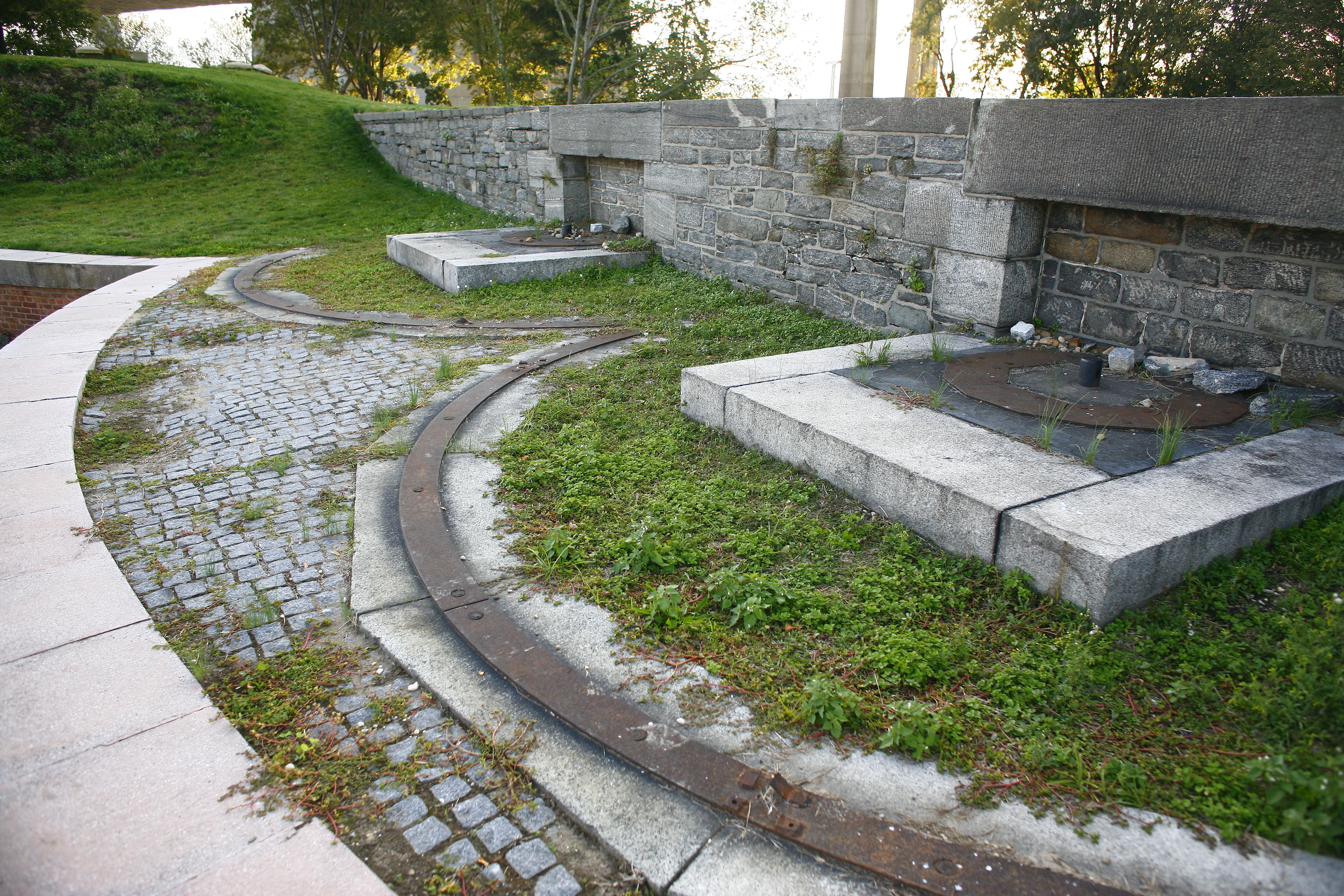
Fort Totten is a former active United States Army installation in the New York City borough of Queens. It is located on the Willets Point peninsula on the north shore of Long Island. Fort Totten is at the head of Little Neck Bay, where the East River widens to become Long Island Sound. While the U.S. Army Reserve continues to maintain a presence at the fort, the property is now owned by the City of New York. History Civil War era Construction began on the Fort at Willets Point in 1862 (named Fort Totten in 1898), after the land was purchased by the U.S. Government in 1857 from the Willets family. The fort is close to the Queens neighborhoods of Bay Terrace, Bayside, Beechhurst and Whitestone. The original purpose was to defend the East River approach to New York Harbor, combined with the preceding Fort Schuyler, which faces it from Throggs Neck in the Bronx on the opposite side of the river entrance. The fort was among several forts of the third system of seacoast de ... [...More Info...] [...Related Items...] OR: [Wikipedia] [Google] [Baidu] |
Coast Defenses Of Eastern New York
The Harbor Defenses of New York was a United States Army Coast Artillery Corps harbor defense command. It coordinated the coast defenses of New York City from 1895 to 1950, beginning with the Endicott program, some of which were located in New Jersey. These included both coast artillery forts and underwater minefields. The command originated circa 1895 as an Artillery District(s) and became the Coast Defenses of Eastern New York and Coast Defenses of Southern New York in 1913. Circa 1915 the Coast Defenses of Sandy Hook separated from the latter command. In 1925 the commands were renamed as Harbor Defense Commands, and in 1935 the Harbor Defenses of Eastern New York was almost entirely disarmed, although possibly retaining the minefield capability. The New York and Sandy Hook commands and the Harbor Defenses of Long Island Sound were unified as the Harbor Defenses of New York on 9 May 1942.Stanton, pp. 455-481Rinaldi, pp. 165-166Berhow, pp. 427-434 History Early forts in New Yor ... [...More Info...] [...Related Items...] OR: [Wikipedia] [Google] [Baidu] |
Little Neck Bay
Little Neck Bay is an embayment in western Long Island, New York, off Long Island Sound. Little Neck Bay forms the western boundary of the Great Neck Peninsula, the eastern boundary of which is Manhasset Bay. The political boundary between Nassau County and the borough of Queens runs through the bay, bordering the neighborhood of Douglaston–Little Neck. Description At the entrance to the bay, on the western point – known as Willets Point – is Fort Totten, which was built to protect the entrance to the tidal strait known as the East River. At the eastern side of the entrance is Elm Point (the end of Steamboat Road in Kings Point). The bay is about a mile wide at the entrance and extends back just under two miles.U.S. Coast and Geodetic Survey (1918) ''United States Coast Pilot'' U.S. Coast and Geodetic Survey, Washington, D.C., p. 234 Originally, on the western and southern sides of the bay there were extensive salt marshes. Saddle Rock is located on the eastern side ... [...More Info...] [...Related Items...] OR: [Wikipedia] [Google] [Baidu] |
Seacoast Defense In The United States
Seacoast defense was a major concern for the United States from its independence until World War II. Before Military aviation, airplanes, many of America's enemies could only reach it from the sea, making coastal forts an economical alternative to Standing army, standing armies or a large navy. After the 1940s, it was recognized that fixed fortifications were obsolete and ineffective against aircraft and missiles. However, in prior eras foreign fleets were a realistic threat, and substantial fortifications were built at key locations, especially protecting major harbors. The defenses heavily depended on fortifications but also included Submarine mines in United States harbor defense, submarine minefields, nets and boom (navigational barrier), booms, ships, and airplanes. Therefore, all of the armed forces participated in seacoast defense, but the United States Army Corps of Engineers, U.S. Army Corps of Engineers played the central role in constructing fixed defenses. Designs evo ... [...More Info...] [...Related Items...] OR: [Wikipedia] [Google] [Baidu] |
The Bronx
The Bronx () is a borough of New York City, coextensive with Bronx County, in the state of New York. It is south of Westchester County; north and east of the New York City borough of Manhattan, across the Harlem River; and north of the New York City borough of Queens, across the East River. The Bronx has a land area of and a population of 1,472,654 in the 2020 census. If each borough were ranked as a city, the Bronx would rank as the ninth-most-populous in the U.S. Of the five boroughs, it has the fourth-largest area, fourth-highest population, and third-highest population density.New York State Department of Health''Population, Land Area, and Population Density by County, New York State – 2010'' retrieved on August 8, 2015. It is the only borough of New York City not primarily on an island. With a population that is 54.8% Hispanic as of 2020, it is the only majority-Hispanic county in the Northeastern United States and the fourth-most-populous nationwide. The Bronx ... [...More Info...] [...Related Items...] OR: [Wikipedia] [Google] [Baidu] |
Throggs Neck
Throggs Neck (also known as Throgs Neck) is a neighborhood and peninsula in the south-eastern portion of the borough (New York City), borough of the Bronx in New York City. It is bounded by the East River and Long Island Sound to the south and east, Westchester Creek on the west, and Baisley Avenue and the Bruckner Expressway on the north. The neighborhood is part of Bronx Community Board 10, Bronx Community District 10, and its ZIP Code is 10465. Throggs Neck is patrolled by the 45th Precinct of the New York City Police Department. Geography Throggs Neck is a narrow spit (landform), spit of land in the south-eastern portion of the borough (New York City), borough of the Bronx in New York City. It demarcates the passage between the East River (an estuary) and Long Island Sound. "Throggs Neck" is also the name of the neighborhood of the peninsula, bounded on the north by Baisley Avenue and the Bruckner Expressway, on the west by Westchester Creek, and on the other sides by the Riv ... [...More Info...] [...Related Items...] OR: [Wikipedia] [Google] [Baidu] |
Fort Schuyler
Fort Schuyler is a preserved 19th century fortification in the New York City borough of the Bronx. It houses a museum, the Stephen B. Luce Library, and the Marine Transportation Department and Administrative offices of the State University of New York Maritime College. It is considered one of the finest examples of early 19th century fortifications. The fort was named in honor of Major General Philip Schuyler of the Continental Army. History Fort Schuyler was one of many forts built along the east coast of the United States under the third system of US fortifications in the aftermath of the War of 1812, when it became apparent that the U.S. coast was poorly defended against foreign invasion. Fort Schuyler was begun in 1833 and dedicated in 1856 after 75% completion, though not garrisoned until 1861. The fort was strategically positioned to protect New York City from naval attack through Long Island Sound, guarding the eastern entrance to New York Harbor. It is located on Thr ... [...More Info...] [...Related Items...] OR: [Wikipedia] [Google] [Baidu] |
New York Harbor
New York Harbor is at the mouth of the Hudson River where it empties into New York Bay near the East River tidal estuary, and then into the Atlantic Ocean on the east coast of the United States. It is one of the largest natural harbors in the world, and is frequently named the best natural harbor in the world. It is also known as Upper New York Bay, which is enclosed by the New York City boroughs of Manhattan, Brooklyn, and Staten Island and the Hudson County, New Jersey municipalities of Jersey City and Bayonne. The name may also refer to the entirety of New York Bay including Lower New York Bay. Although the United States Board on Geographic Names does not use the term, ''New York Harbor'' has important historical, governmental, commercial, and ecological usages. Overview The harbor is fed by the waters of the Hudson River (historically called the North River as it passes Manhattan), as well as the Gowanus Canal. It is connected to Lower New York Bay by the Narrows, to ... [...More Info...] [...Related Items...] OR: [Wikipedia] [Google] [Baidu] |
East River (New York)
The East River is a saltwater tidal estuary in New York City. The waterway, which is actually not a river despite its name, connects Upper New York Bay on its south end to Long Island Sound on its north end. It separates the borough of Queens on Long Island from the Bronx on the North American mainland, and also divides Manhattan from Queens and Brooklyn, also on Long Island.Hodges, Godfrey. "East RIver" in Jackson, pp.393–93 Because of its connection to Long Island Sound, it was once also known as the ''Sound River''. The tidal strait changes its direction of flow frequently, and is subject to strong fluctuations in its current, which are accentuated by its narrowness and variety of depths. The waterway is navigable for its entire length of , and was historically the center of maritime activities in the city. Formation and description Technically a drowned valley, like the other waterways around New York City, the strait was formed approximately 11,000 years ago at the e ... [...More Info...] [...Related Items...] OR: [Wikipedia] [Google] [Baidu] |
Whitestone, Queens
Whitestone is a residential neighborhood in the northernmost part of the New York City borough of Queens. The neighborhood proper is located between the East River to the north; College Point and Whitestone Expressway to the west; Flushing and 25th Avenue to the south; and Bayside and Francis Lewis Boulevard to the east. Whitestone contains the subsection of Malba, which is bounded to the north by the East River, to the east by the Whitestone Expressway, to the south by 14th Avenue, and to the west by 138th Street. Malba was cited in a ''New York Times'' article as one of the few "elite enclaves" of Queens. Whitestone is located in Queens Community District 7 and its ZIP Code is 11357. It is patrolled by the New York City Police Department's 109th Precinct. Politically, Whitestone is represented by the New York City Council's 19th District. History Whitestone Dutch settlers derived the name of the town from limestone that used to lie on the shore of the river according t ... [...More Info...] [...Related Items...] OR: [Wikipedia] [Google] [Baidu] |
Beechhurst, Queens
Beechhurst is a neighborhood in the northeastern section of the New York City borough of Queens. It is northeast of Whitestone, bordered by the East River to the north, the Cross Island Parkway to the south, and the approaches to the Throgs Neck and Whitestone bridges to the east and west respectively. It is also bordered by the westernmost section of Long Island Sound. Beechhurst is comparatively affluent area but parts of the neighborhood (such as along 150th and 154th Streets) have a more diverse mix of housing. Beechhurst is part of the New York City Police Department's 109th Precinct and is part of Queens Community District 7. During the Silent Movie era, Beechhurst was a favorite vacation area for the rich and famous. Estates lined the waterfront, including the Arthur and Dorothy Dalton Hammerstein House, the former house of Arthur Hammerstein and Dorothy Dalton, which is a New York City designated landmark. The Beechhurst Towers hotel (now a co-op apartment building) was ... [...More Info...] [...Related Items...] OR: [Wikipedia] [Google] [Baidu] |
Bayside, Queens
Bayside is a neighborhood in the New York City borough of Queens. It is bounded by Whitestone to the northwest, the Long Island Sound and Little Neck Bay to the northeast, Douglaston to the east, Oakland Gardens to the south, and Fresh Meadows to the west. CNN Money ranked Bayside as one of the most expensive housing markets nationally when analyzing comparable detached homes throughout the United States. Despite its large housing stock of free-standing homes, it nationally ranks high to very high in population density. The first known written occurrence of the name Bayside was in a deed dated 1798, written as Bay Side. During the 19th century, Bayside was primarily farmland, where wealthy people from Manhattan would visit it as a rural resort. During the 1920s and 1930s, there were several movie studios in Astoria, and many movie stars lived in Bayside, some in posh homes. After the end of World War II, residential development of Bayside increased dramatically, particularly b ... [...More Info...] [...Related Items...] OR: [Wikipedia] [Google] [Baidu] |
Bay Terrace, Queens
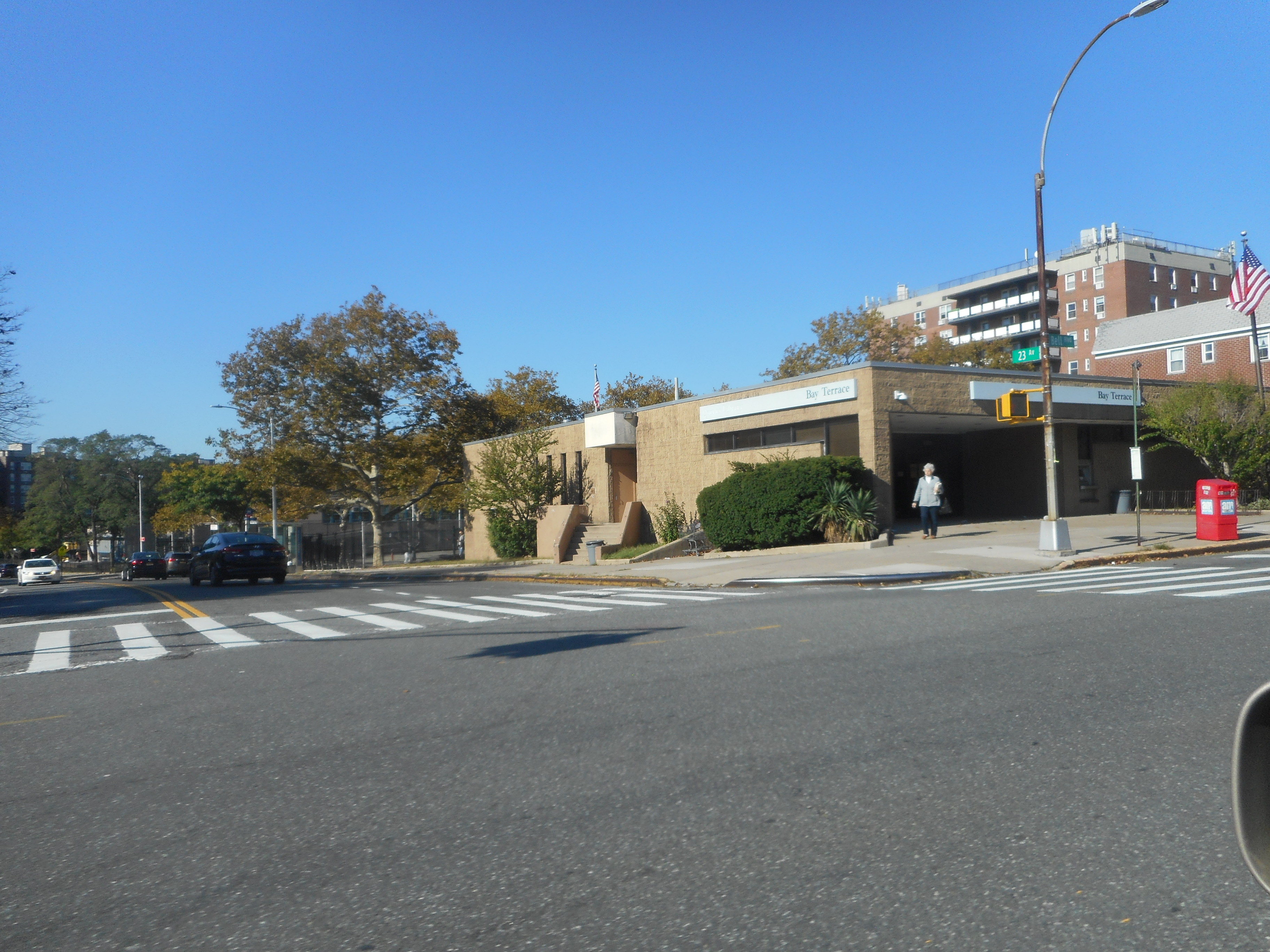
Bay Terrace is a neighborhood in the northeastern section of the New York City borough of Queens. It is often considered part of the larger area of Bayside. Bay Terrace overlooks the East River and the approaches to the Throgs Neck Bridge from the Clearview Expressway and Cross Island Parkway. It is bounded on the west by the Clearview Expressway, on the south by 26th and 28th Avenues, to the east by the Little Neck Bay, and to the north by the East River. Bay Terrace is located in Queens Community District 7 and its ZIP Code is 11360. It is patrolled by the New York City Police Department's 109th Precinct. Politically, Bay Terrace is represented by the New York City Council's 19th District. History In 1639, Dutch Governor Willem Kieft (1597–1647) purchased the land that today encompasses Queens County from the Matinecock. William Lawrence (1622–1680), who served as a magistrate under Dutch and English administrations, was granted a parcel of land by King Charles II in 1645 ... [...More Info...] [...Related Items...] OR: [Wikipedia] [Google] [Baidu] |


.jpg)
