|
Flat Branch
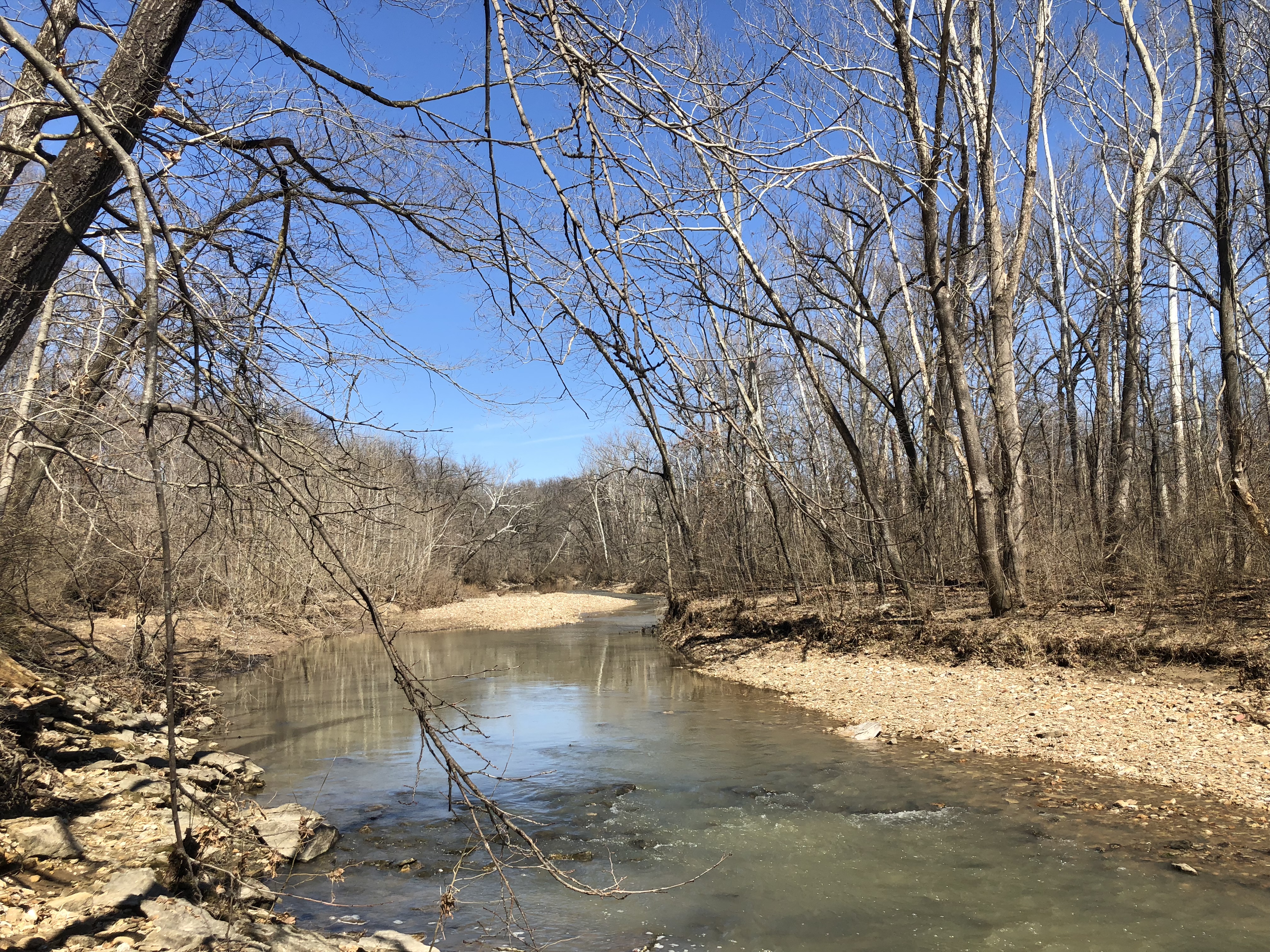
Flat Branch is a stream in Columbia, Missouri. It was the original water source for the town of Columbia and its forerunner Smithton. It is a branch of Hinkson Creek and begins Northwest of Downtown Columbia. Flat Branch Park straddles the creek between 4th Street and Providence. Flat Branch was so named on account of its low riverbanks. History Flat Branch was originally forested when American pioneers arrived to permanently settle in 1818. The cabin of Richard Gentry was located near present-day Garth and Walnut up the hill from the creek. Early tanneries were located along the banks. North of Broadway and on either side of the creek was a historically black neighborhood. Ragtime pianist Blind Boone composed a work titled “Strains from the Flat Branch” for piano. The M.K.T. Railroad entered Columbia through the Flat Branch Valley. Today the M.K.T. Trail is built on the former train path. Columbia's first modern brewery Flat Branch Pub is named after the creek. See also *Lis ... [...More Info...] [...Related Items...] OR: [Wikipedia] [Google] [Baidu] |
Stream
A stream is a continuous body of water, body of surface water Current (stream), flowing within the stream bed, bed and bank (geography), banks of a channel (geography), channel. Depending on its location or certain characteristics, a stream may be referred to by a variety of local or regional names. Long large streams are usually called rivers, while smaller, less voluminous and more intermittent river, intermittent streams are known as streamlets, brooks or creeks. The flow of a stream is controlled by three inputs – surface runoff (from precipitation or meltwater), daylighting (streams), daylighted subterranean river, subterranean water, and surfaced groundwater (Spring (hydrology), spring water). The surface and subterranean water are highly variable between periods of rainfall. Groundwater, on the other hand, has a relatively constant input and is controlled more by long-term patterns of precipitation. The stream encompasses surface, subsurface and groundwater fluxes th ... [...More Info...] [...Related Items...] OR: [Wikipedia] [Google] [Baidu] |
Columbia, Missouri
Columbia is a city in the U.S. state of Missouri. It is the county seat of Boone County and home to the University of Missouri. Founded in 1821, it is the principal city of the five-county Columbia metropolitan area. It is Missouri's fourth most-populous and fastest growing city, with an estimated 126,254 residents in 2020. As a Midwestern college town, Columbia has a reputation for progressive politics, persuasive journalism, and public art. The tripartite establishment of Stephens College (1833), the University of Missouri (1839), and Columbia College (1851), which surround the city's Downtown to the east, south, and north, has made the city a center of learning. At its center is 8th Street (also known as the Avenue of the Columns), which connects Francis Quadrangle and Jesse Hall to the Boone County Courthouse and the City Hall. Originally an agricultural town, education is now Columbia's primary economic concern, with secondary interests in the healthcare, insurance ... [...More Info...] [...Related Items...] OR: [Wikipedia] [Google] [Baidu] |
Hinkson Creek
Hinkson Creek is a stream in Boone County in the U.S. state of Missouri. Its middle section runs through the city of Columbia, Missouri It was named after Robert Hinkson, a pioneer citizen who lived along its banks. Several trails, conservation areas, and parks are along its path. it eventually empties into Perche Creek southwest of Columbia. The MKT Trail follows the creek in Boone County. The stream headwaters arise at approximately two miles northeast of Hallsville at an approximate elevation of 880 feet.''Centralia, MO,'' 7.5 Minute Topographic Quadrangle, USGS, 1969 (1979 rev) The stream flows south-southwest past Hallsville and through the east side of Columbia where it passes under US Route 63 and I-70. South of Columbia the stream turns to the west-southwest and reaches its confluence with Perche Creek at at an elevation of 558 feet. The Hinkson Woods Conservation Area is located within meanders of the creek. On June 25, 2021 the Hinkson flooded, reaching a record 23.0 ... [...More Info...] [...Related Items...] OR: [Wikipedia] [Google] [Baidu] |
Downtown Columbia, Missouri
Downtown Columbia is the central business, government, and social core of Columbia, Missouri and the Columbia Metropolitan Area. Three colleges — the University of Missouri, Stephens College, and Columbia College — all border the area. Downtown Columbia is an area of approximately one square mile surrounded by the University of Missouri on the south, Stephens College to the east, and Columbia College on the north. The area serves as Columbia's financial and business district and is the topic of a large initiative to draw tourism, which includes plans to capitalize on the area's historic architecture and Bohemian characteristics. The downtown skyline is relatively low and is dominated by the 10-story Tiger Hotel, built in 1928, and the 15-story Paquin Tower. anAccompanying map/ref> Downtown Columbia Historic District, listed on the National Register of Historic Places, covers much of the downtown area. This historic district was created in 2006, following the removal of con ... [...More Info...] [...Related Items...] OR: [Wikipedia] [Google] [Baidu] |
Richard Gentry
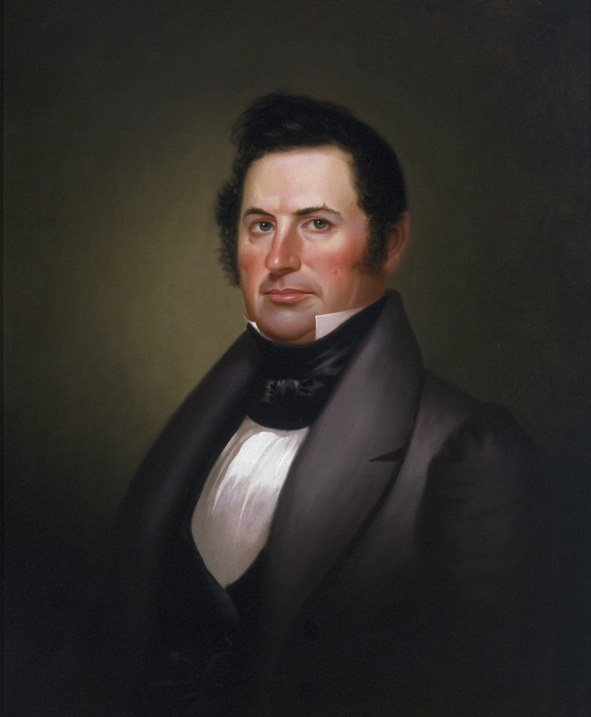
Richard Gentry (August 25, 1788 – December 25, 1837) was an American politician and military officer who died during the Seminole Wars. The Missouri county of Gentry is named for him. He was the first mayor and founder of Columbia, Missouri. Early life Richard Gentry was born August 25, 1788 in Madison County, Kentucky to parents Richard and Jane (Harris) Gentry. His father was a veteran of the American Revolution and had been present at the surrender of Lord Cornwallis and his forces at the Battle of Yorktown. Young Richard grew up a child of the frontier, skilled in hunting and tracking, skills that would well serve him later in life. At age 19, Richard Gentry was commissioned a Lieutenant in the 19th Regiment of the Kentucky Militia and quickly promoted to Captain just three years later in 1811. On February 13, 1810 Gentry married Ann Hawkins, also of Madison County. They would eventually have four children. War, new frontier, and politics Gentry served under General (and ... [...More Info...] [...Related Items...] OR: [Wikipedia] [Google] [Baidu] |
Blind Boone
John William "Blind" Boone (May 17, 1864 – October 4, 1927) was an American pianist and composer of ragtime music. Early life Boone was born in a Federal militia camp near Miami, Missouri, May 17, 1864, to a contraband slave, Rachel, who used the surname, Boone, on the 1870 Federal Census. On John W. Boone's 1927 Missouri Death Record, Rachel's maiden name is said to be Carpenter. His father was a bugler in the 7th Missouri State Militia Cavalry (Union). At six months Boone fell ill to "brain fever" and to release the swelling of the brain a radical surgical procedure was performed, removing both of his eyes. This is how he became "blind" Boone. He grew up in Warrensburg, Missouri, where Camp Grover was the headquarters of the 7th MSM at the end of the Civil War. Boone's mother, Rachel Boone Hendricks (when she married Harrison Hendricks in 1871, she used the Boone surname), worried that her son would find life too difficult without some sort of education. Because of this, his ... [...More Info...] [...Related Items...] OR: [Wikipedia] [Google] [Baidu] |
List Of Rivers Of Missouri
List of rivers in Missouri (U.S. state). By drainage basin This list is arranged by drainage basin, with respective tributaries indented under each larger stream's name. Mississippi River Arkansas River *Mississippi River **Arkansas River (AR, OK) ***Neosho River (KS, OK) **** Elk River ***** Buffalo Creek ***** Indian Creek *****Big Sugar Creek *****Little Sugar Creek **** Spring River ***** Shoal Creek ****** Capps Creek White River *Mississippi River ** White River *** Cache River *** Black River **** Spring River *****Eleven Point River **** Current River ***** Sinking Creek ***** Little Black River *****Jacks Fork *** North Fork River ****Bennetts Bayou ****Bennetts River ****Bryant Creek *****Brush Creek ***** Hunter Creek ****** Whites Creek ***** Fox Creek ***** Rippee Creek *****Spring Creek **** Clifty Creek *** Little North Fork White River *** Beaver Creek ****Cowskin Creek ***** Prairie Creek ****Little Beaver Creek *** James River **** Crane Creek ****Finley Cree ... [...More Info...] [...Related Items...] OR: [Wikipedia] [Google] [Baidu] |
Geography Of Columbia, Missouri
Geography (from Greek: , ''geographia''. Combination of Greek words ‘Geo’ (The Earth) and ‘Graphien’ (to describe), literally "earth description") is a field of science devoted to the study of the lands, features, inhabitants, and phenomena of Earth. The first recorded use of the word γεωγραφία was as a title of a book by Greek scholar Eratosthenes (276–194 BC). Geography is an all-encompassing discipline that seeks an understanding of Earth and its human and natural complexities—not merely where objects are, but also how they have changed and come to be. While geography is specific to Earth, many concepts can be applied more broadly to other celestial bodies in the field of planetary science. One such concept, the first law of geography, proposed by Waldo Tobler, is "everything is related to everything else, but near things are more related than distant things." Geography has been called "the world discipline" and "the bridge between the human and th ... [...More Info...] [...Related Items...] OR: [Wikipedia] [Google] [Baidu] |
Rivers Of Boone County, Missouri
A river is a natural flowing watercourse, usually freshwater, flowing towards an ocean, sea, lake or another river. In some cases, a river flows into the ground and becomes dry at the end of its course without reaching another body of water. Small rivers can be referred to using names such as creek, brook, rivulet, and rill. There are no official definitions for the generic term river as applied to geographic features, although in some countries or communities a stream is defined by its size. Many names for small rivers are specific to geographic location; examples are "run" in some parts of the United States, "burn" in Scotland and northeast England, and "beck" in northern England. Sometimes a river is defined as being larger than a creek, but not always: the language is vague. Rivers are part of the water cycle. Water generally collects in a river from precipitation through a drainage basin from surface runoff and other sources such as groundwater recharge, sprin ... [...More Info...] [...Related Items...] OR: [Wikipedia] [Google] [Baidu] |
_nahe_dem_Weiherdamm_in_Wildbergerhütte.jpg)


.jpg)

