|
Fenualoa
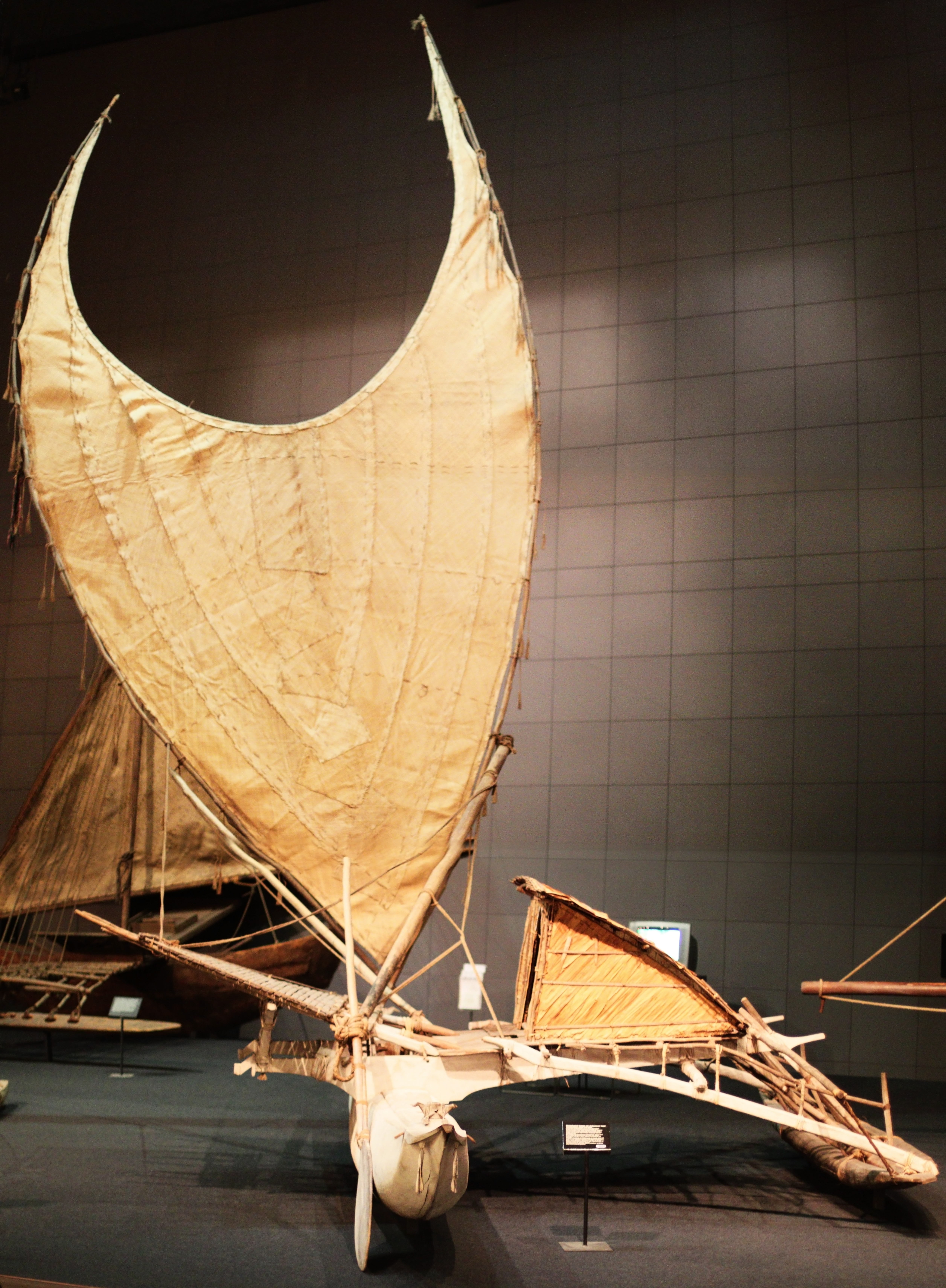
Fenualoa is the second largest island in the Reef Islands, administratively located in the Solomon Islands province of Temotu. Geography The estimated terrain elevation above sea level is some 17 metres. At low tide, Fenualoa is connected to the neighboring island of Nifiloli to the north. The west side of the island is mainly sandy beaches facing the huge lagoon and the Great Reef. The east side is steep rocky cliffs with the deep Forest Passage separating Fenualoa from the largest island of the group Lomlom Lomlom is the largest of the Reef Islands in the Solomon Islands. It is located in Temotu Province, measuring seven by four kilometres and separated from Fenualoa by a deep channel. The estimated terrain elevation above sea level is some 21 metres .... Population The island is very densely populated with four main villages, each made up of sub-villages and total approximately 1500 inhabitants (2008), all on the west side of the 8 km by 600m long and thin island. The la ... [...More Info...] [...Related Items...] OR: [Wikipedia] [Google] [Baidu] |
Temotu Province
Temotu (or Te Motu, literally "the island" in Polynesian) is the easternmost province of Solomon Islands. The province was formerly known as Santa Cruz Islands Province. It consists, essentially, of two chains of islands which run parallel to each other from the northwest to the southeast. Its area is . Administrative divisions Temotu Province is sub-divided into the following wards: Temotu Province (pop 21,362) * Reef Islands ** Polynesian Outer Islands (353) ** Fenualoa (1,305) ** Nipua/Nopoli (880) ** Lipe/Temua (796) ** Manuopo (1,030) ** Nenumpo (1,163) * Santa Cruz Islands ** Graciosa Bay (1,264) ** North East Santa Cruz (1,843) ** Nanggu/Lord Howe (1,863) ** Nea/Noole (1,770) ** Nevenema (947) ** Luva Station (2,335) ** Neo (1,558) * isolated islands and groups ** Duff Islands (509) ** Utupua (1,168) ** Vanikoro (1,293) ** Tikopia (1,285) Islands The islands or island groups which make up the province are: * Anuta * Duff Islands (including Taumako) * Fatutaka ... [...More Info...] [...Related Items...] OR: [Wikipedia] [Google] [Baidu] |
Solomon Islands
Solomon Islands is an island country consisting of six major islands and over 900 smaller islands in Oceania, to the east of Papua New Guinea and north-west of Vanuatu. It has a land area of , and a population of approx. 700,000. Its capital, Honiara, is located on the largest island, Guadalcanal. The country takes its name from the wider area of the Solomon Islands (archipelago), which is a collection of Melanesian islands that also includes the Autonomous Region of Bougainville (currently a part of Papua New Guinea), but excludes the Santa Cruz Islands. The islands have been settled since at least some time between 30,000 and 28,800 BCE, with later waves of migrants, notably the Lapita people, mixing and producing the modern indigenous Solomon Islanders population. In 1568, the Spanish navigator Álvaro de Mendaña was the first European to visit them. Though not named by Mendaña, it is believed that the islands were called ''"the Solomons"'' by those who later receiv ... [...More Info...] [...Related Items...] OR: [Wikipedia] [Google] [Baidu] |
Reef Islands
The Reef Islands are a loose collection of 16 islands in the northwestern part of the Solomon Islands province of Temotu. These islands have historically also been known by the names of Swallow Islands and Matema Islands. Geography The islands lie about north of Nendo, the largest of the Santa Cruz Islands. The center of the group is at approximately 10°12'36" S lat., 166°10'12" E. long. The islands are raised some five metres on the east and tilted west. The islands are subject to tidal surges caused by cyclones and volcanic activity from nearby Tinakula volcano. The island soils are shallow yet fertile. The islands or atolls of the group are: *Lomlom *Nifiloli *Fenualoa * Ngalo * Ngawa *Ngandeli * Nibanga Temau * Nibanga Nendi *Matema Island * Ngatendo * Pigeon Island. ''Numa Miombilou'' or "Great Reef" is one continuous shoal, extending about west of Nifiloli. About to the south of this shoal are 4 small coral reefs: *Malani *Malim *Manuwa *Matumbi. Separated fr ... [...More Info...] [...Related Items...] OR: [Wikipedia] [Google] [Baidu] |
Lomlom
Lomlom is the largest of the Reef Islands in the Solomon Islands. It is located in Temotu Province, measuring seven by four kilometres and separated from Fenualoa by a deep channel. The estimated terrain elevation above sea level is some 21 metres. Variant forms of the island's name are Fonofono and Lom lom. Lomlom is deserved by Lomlom Airport Lomlom Airport is an airport serving Lomlom, in the Reef Islands, in the Solomon Islands . The airport opened in 2018. Airlines and destinations References External linksSolomon Airlines Routes Airports in the Solomon Islands {{Sol ..., the only airfield of Reef Islands. References Islands of the Solomon Islands {{SolomonIslands-geo-stub ... [...More Info...] [...Related Items...] OR: [Wikipedia] [Google] [Baidu] |
Nifiloli
Nifiloli is an island in the Reef Islands (Latitude: 10° 10' 60 S, Longitude: 166° 13' 60 E), in the Solomon Islands province of Temotu. The estimated terrain elevation above sea level is 19 metres. Despite its location in Melanesia, the population of the islands is Polynesian. The language spoken on Nifiloli is Pileni language Vaeakau-Taumako (formerly known as ''Pileni'') is a Polynesian language spoken in some of the Reef Islands as well as in the Taumako Islands (also known as the Duff Islands) in the Temotu province of the Solomon Islands. The language is spok .... References External links Nifiloli on Solomonislands.com.sb Islands of the Solomon Islands Polynesian outliers {{Solomons-geo-stub ... [...More Info...] [...Related Items...] OR: [Wikipedia] [Google] [Baidu] |
