|
Farragut North (Washington Metro)
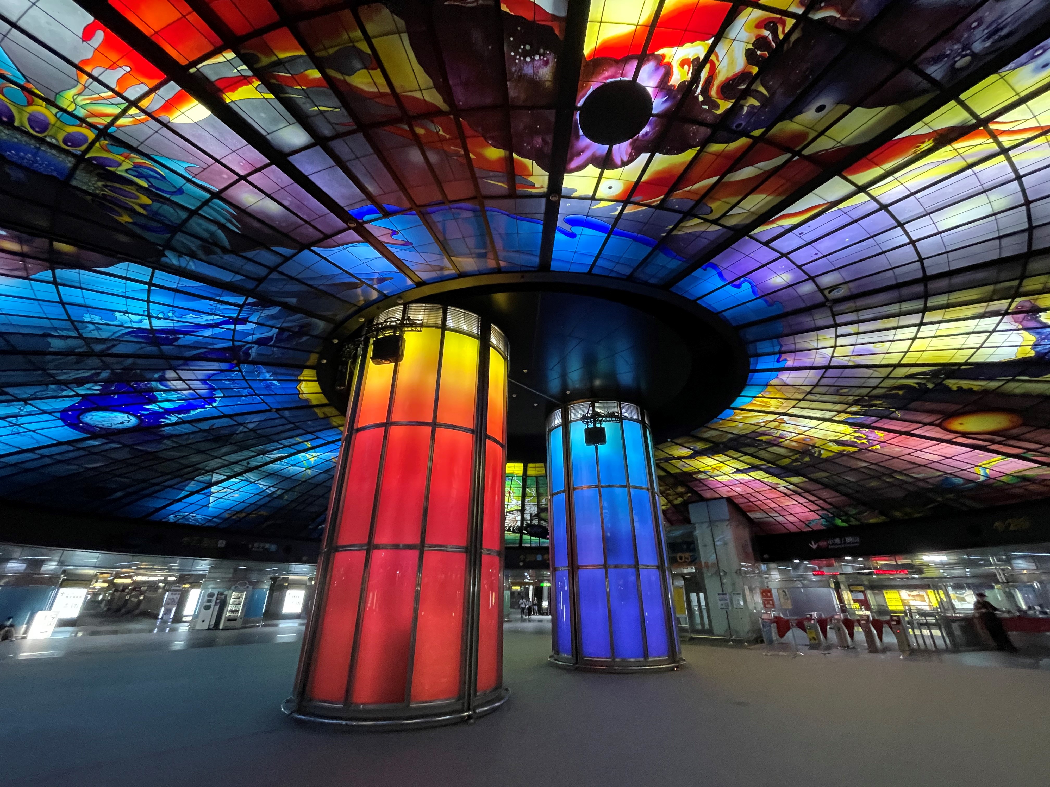
Farragut North station is an underground Washington Metro station in Washington, D.C., on the Red Line. Farragut North serves downtown Washington and is located just north of Farragut Square. It lies at the heart of the business district on Connecticut Avenue, with two entrances at L Street and one at K Street. Adjacent to the L Street entrance was a food court which has its own stairway to the surface; the food court closed in 2007 and was later replaced with a Results Gym location. It is the third-busiest station in the Metro system, averaging 22,949 passengers per weekday as of May 2017. Service began on March 27, 1976. Station layout Farragut North station features unique architecture not seen in other stations throughout the system. Its mezzanine stretches across more of the platform and is longer than most, with an open depression looking onto the platform in the middle. There are two elevated mezzanines that serve different escalators and exits. Special buttress-lik ... [...More Info...] [...Related Items...] OR: [Wikipedia] [Google] [Baidu] |
Connecticut Avenue
Connecticut Avenue is a major thoroughfare in the Northwest quadrant of Washington, D.C., and suburban Montgomery County, Maryland. It is one of the diagonal avenues radiating from the White House, and the segment south of Florida Avenue was one of the original streets in Pierre (Peter) Charles L'Enfant's plan for Washington. A five-mile segment north of Rock Creek was built in the 1890s by a real-estate developer. History Connecticut Avenue was first extended north from Rock Creek around 1890 as part of an audacious plan to create a streetcar suburb—today's Chevy Chase, Maryland—several miles distant from built-up Washington, D.C. The area northwest of today's Calvert Street NW was largely farmland when Francis Newlands, a sitting Congressman from Nevada, quietly acquired more than 1,700 acres in Northwest D.C. and Maryland along a five-mile stretch from today's Woodley Park neighborhood in D.C. to Jones Bridge Road in Maryland's Montgomery County. Meanwhile, he acqui ... [...More Info...] [...Related Items...] OR: [Wikipedia] [Google] [Baidu] |
Washington Union Station
Washington Union Station is a major train station, transportation hub, and leisure destination in Washington, D.C. Designed by Daniel Burnham and opened in 1907, it is Amtrak's headquarters, the railroad's second-busiest station, and North America's ninth-busiest railroad station. The station is the southern terminus of the Northeast Corridor, an electrified rail line extending north through major cities including Baltimore, Philadelphia, New York City, and Boston and the busiest passenger rail line in the nation. In 2015, it served just under 5 million passengers. An intermodal facility, Union Station also serves MARC and VRE commuter rail services, the Washington Metro, the DC Streetcar, intercity bus lines, and local Metrobus buses. At the height of its traffic, during World War II, as many as 200,000 passengers passed through the station in a single day. In 1988, a headhouse wing was added and the original station renovated for use as a shopping mall. As of 2014, Union ... [...More Info...] [...Related Items...] OR: [Wikipedia] [Google] [Baidu] |
DC Commission On The Arts And Humanities
The D.C. Commission on the Arts and Humanities (CAH) is an agency of the District of Columbia government. As of October 2022, the Interim Executive Director is David Markey. CAH was created as an outgrowth of the U.S. Congress Act that established the National Foundation on the Arts and Humanities of 1965. The Foundation provided for four operating federal agencies including the National Endowment for the Arts and the National Endowment for the Humanities. CAH's office is in the Navy Yard neighborhood of southeast Washington, D.C. The current chairperson of the D.C. Commission on the Arts and Humanities is Reggie Van Lee and the current vice chairperson is Maggie FitzPatrick. The current commissioners, appointed by Mayor Muriel Bowser and confirmed by D.C. Council, are: Stacie Lee Banks, Cora Masters Barry, Maggie FitzPatrick (chair, Public Arts Committee), Quanice Floyd (chair, IDEA Committee), Natalie Hopkinson, Kymber Menkiti (treasurer and chair, finance committee), Maria H ... [...More Info...] [...Related Items...] OR: [Wikipedia] [Google] [Baidu] |
Interstate 66
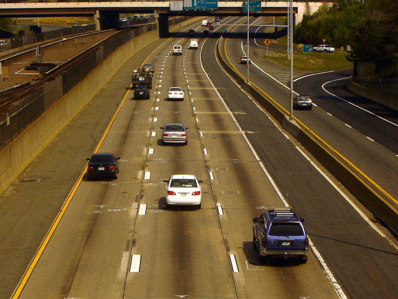
Interstate 66 (I-66) is an east–west Interstate Highway in the eastern United States. It runs from an interchange with I-81 near Middletown, Virginia, on its western end to an interchange with U.S. Route 29 (US 29) in Washington, D.C., at the eastern terminus. Much of the route parallels US 29 or State Route 55 (SR 55) in Virginia. I-66 has no physical or historical connection to the famous US 66, which was located in a different region of the United States. The E Street Expressway is a spur from I-66 into the Foggy Bottom neighborhood of Washington, D.C. Route description , - , VA , 74.8 , 120.54 , - , DC , 1.6 , 2.57 , - , Total , 76.4 , 123.11 Virginia Interstate 81 to Dunn Loring I-66 begins at a directional T interchange with I-81 near Middletown, Virginia. It heads east as a four-lane freeway and meets US 522/ US 340 at a partial cloverleaf interchange. The two routes head south to Front Royal and north to ... [...More Info...] [...Related Items...] OR: [Wikipedia] [Google] [Baidu] |
Farragut North L Street Mezzanine 01
Farragut may refer to: People *David Farragut (1801-1870), American admiral *George Farragut (1755-1817), American Revolutionary War naval officer, father of David Farragut *Ken Farragut (1928-2014), American National Football League player *Faraj ben Salim, also known as Farragut of Girgenti, 13th century Sicilian-Jewish physician and translator *Pilar Fuertes Ferragut (1962–2012), Spanish diplomat Places *Farragut, Iowa, a city *Farragut, Tennessee, a town *Farragut, Brooklyn, a neighborhood *Farragut Square in Washington, D.C. *Farragut North station in Washington, D.C. *Farragut State Park, Idaho *Farragut Naval Training Station, Bayview, Idaho, a former US Navy training center *Farragut Wildlife Management Area, Idaho Ships * ''Farragut''-class destroyer (other) ** ** * , various United States Navy ships Schools *Farragut Career Academy, a public high school in Chicago, Illinois *Farragut High School, Farragut, Tennessee *David Glasgow Farragut High School, Nava ... [...More Info...] [...Related Items...] OR: [Wikipedia] [Google] [Baidu] |
K Street (Washington, DC)
K Street is a major thoroughfare in the United States capital of Washington, D.C., known as a center for numerous lobbyists and advocacy groups. In political discourse, "K Street" has become a metonym for Washington's lobbying industry since many lobbying firms were traditionally located on the section in Northwest Washington which passes from Georgetown through a portion of Downtown D.C. Since the late 1980s, however, many of the largest lobbying firms have moved out; , only one of the top-20 lobbying firms has a K Street address. Location In the Washington D.C. street grid there are three (3) unconnected east-to-west street segments designated as K Street NW / NE, and also a southern K Street. The term "K Street" usually refers to the middle segment of the northern K Street (NW or NE). The middle segment of K Street NW / NE, which carries a segment of U.S. Route 29, begins in the city's Northwest quadrant as K Street NW, just west of the abutment of the old Aqueduct Bri ... [...More Info...] [...Related Items...] OR: [Wikipedia] [Google] [Baidu] |
Connecticut Avenue (Washington, D
Connecticut Avenue is a major thoroughfare in the Northwest quadrant of Washington, D.C., and suburban Montgomery County, Maryland. It is one of the diagonal avenues radiating from the White House, and the segment south of Florida Avenue was one of the original streets in Pierre (Peter) Charles L'Enfant's plan for Washington. A five-mile segment north of Rock Creek was built in the 1890s by a real-estate developer. History Connecticut Avenue was first extended north from Rock Creek around 1890 as part of an audacious plan to create a streetcar suburb—today's Chevy Chase, Maryland—several miles distant from built-up Washington, D.C. The area northwest of today's Calvert Street NW was largely farmland when Francis Newlands, a sitting Congressman from Nevada, quietly acquired more than 1,700 acres in Northwest D.C. and Maryland along a five-mile stretch from today's Woodley Park neighborhood in D.C. to Jones Bridge Road in Maryland's Montgomery County. Meanwhile, he acq ... [...More Info...] [...Related Items...] OR: [Wikipedia] [Google] [Baidu] |
Farragut Square
Farragut Square is a city square in Washington, D.C.'s Ward 2. It is bordered by K Street NW to the north, I Street NW to the south, on the east and west by segments of 17th Street NW, and interrupts Connecticut Avenue NW. It is the sister park of McPherson Square two blocks east. It is serviced by two stops on the Washington Metro rail system: on the Red Line and on the Blue, Orange, and Silver Lines. Farragut Square is a hub of downtown D.C., at the center of a bustling daytime commercial and business district. The neighborhood includes major hotels, legal and professional offices, news media offices, travel agencies, and many restaurants including two underground food courts. Sometimes events are scheduled for the lunchtime crowds which gather in and around the square, such as the free Farragut Fridays series, held every Friday from 9 a.m. to dark from July through September, which features outdoor work and relaxation spaces, among other attractions. The park is the sc ... [...More Info...] [...Related Items...] OR: [Wikipedia] [Google] [Baidu] |
Red Line (Washington Metro)
The Red Line is a rapid transit line of the Washington Metro system, consisting of 27 stations in Montgomery County, Maryland, and Washington, D.C., in the United States. It is a primary line through downtown Washington and the oldest and busiest line in the system. It forms a long, narrow "U", capped by its terminal stations at Shady Grove and Glenmont. Trains run most frequently during morning and evening rush hours (nominally four to eight minutes apart) and least frequently after 9:30 p.m. (nominally 15 to 18 minutes apart). The Red Line is the only line in the system that does not share its tracks with another Metrorail line, though it does operate along gauntlet track shared with CSX Transportation freight trains along the railroad's Metropolitan Subdivision from the D.C. neighborhood of Brentwood north past Silver Spring, Maryland. History Planning for Metro began with the Mass Transportation Survey in 1955, which attempted to forecast freeway and mass tra ... [...More Info...] [...Related Items...] OR: [Wikipedia] [Google] [Baidu] |
Metro Station
A metro station or subway station is a station for a rapid transit system, which as a whole is usually called a "metro" or "subway". A station provides a means for passengers to purchase Train ticket, tickets, board trains, and Emergency evacuation, evacuate the system in the case of an emergency. In the United Kingdom, they are known as underground stations, most commonly used in reference to the London Underground. Location The location of a metro station is carefully planned to provide easy access to important urban facilities such as roads, commercial centres, major buildings and other Transport hub, transport nodes. Most stations are located underground, with entrances/exits leading up to ground or street level. The bulk of the station is typically positioned under land reserved for public thoroughfares or Urban park, parks. Placing the station underground reduces the outside area occupied by the station, allowing vehicles and pedestrians to continue using the ground-le ... [...More Info...] [...Related Items...] OR: [Wikipedia] [Google] [Baidu] |
Washington Metro
The Washington Metro (or simply Metro), formally the Metrorail,Google Books search/preview is a rapid transit system serving the Washington metropolitan area of the United States. It is administered by the Washington Metropolitan Area Transit Authority (WMATA), which also operates the Metrobus (Washington, D.C.), Metrobus and Metrorail services under the Metro name. Opened in 1976, the network now includes six lines, 97 stations, and of Network length (transport)#Route length, route. Metro serves Washington, D.C., as well as several jurisdictions in the states of Maryland and Virginia. In Maryland, Metro provides service to Montgomery County, Maryland, Montgomery and Prince George's County, Maryland, Prince George's counties; in Virginia, to Arlington County, Virginia, Arlington, Fairfax C ... [...More Info...] [...Related Items...] OR: [Wikipedia] [Google] [Baidu] |


