|
Freiämtersturm
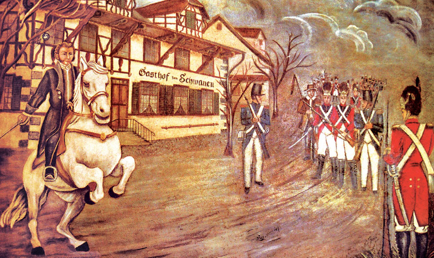
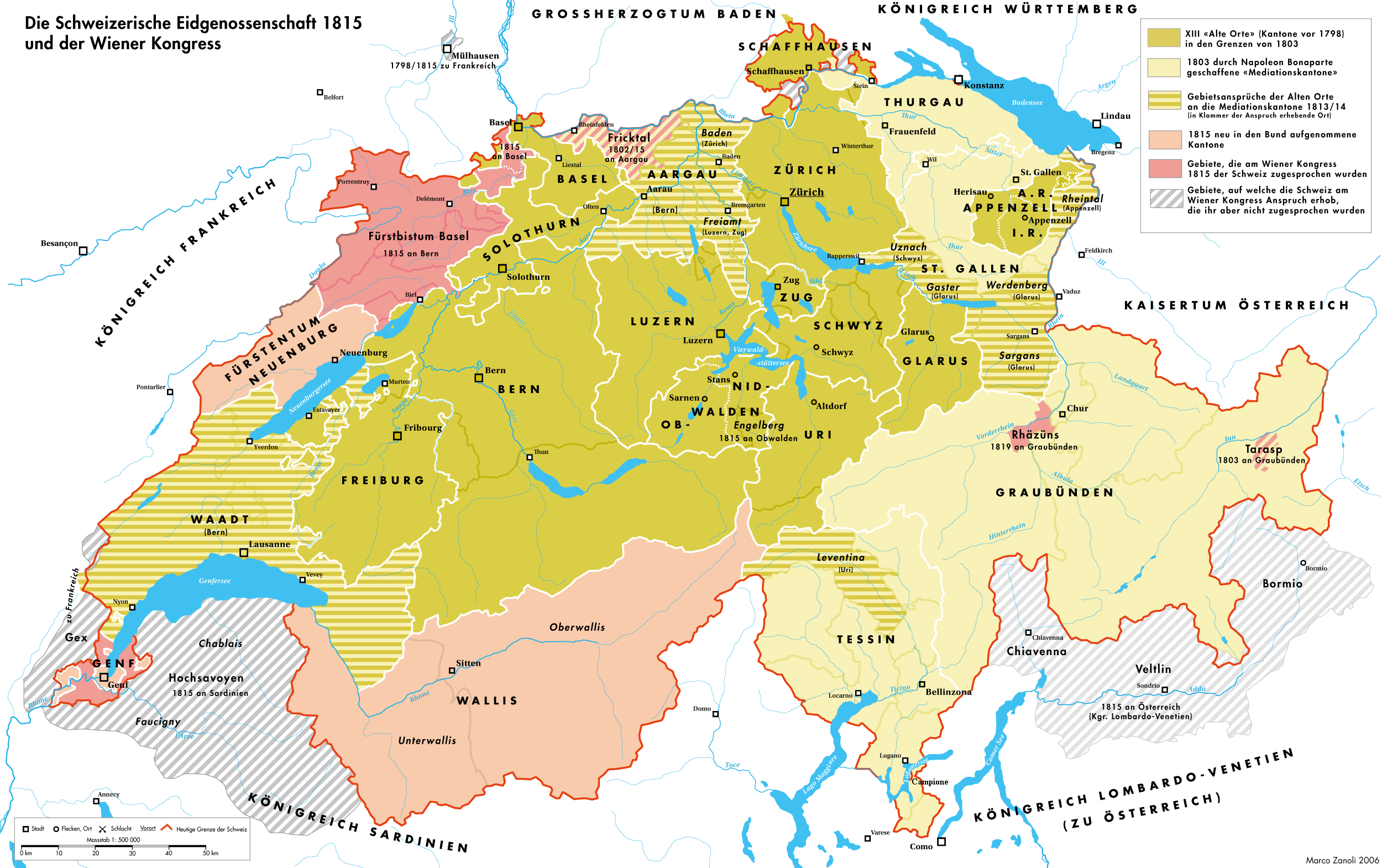
The Freiämtersturm in December 1830 was a bloodless revolution in the Swiss canton of Aargau. The dissatisfied rural population of the ''Freie Ämter'' region in Aargau marched on the cantonal capital of Aarau to demand changes in the cantonal constitution. The ''Freiämtersturm'', together with other uprisings in 1830–31 led to the end of the Restoration period and the beginning of the liberal Regeneration period. The changes during the Regeneration led to the creation of the Federal State in 1848. Background The rural population of the ''Freiämter'' were poor and uneducated while politically and economically under the control of the cities. During the French controlled Helvetic Republic in 1798 the ideas of freedom and equality spread. The medieval idea of different laws for city citizens and countryside peasants was overthrown. However, in 1803 the Helvetic Republic collapsed and was replaced by the Act of Mediation which struck a compromise between the ''Ancien Regime ... [...More Info...] [...Related Items...] OR: [Wikipedia] [Google] [Baidu] |
Merenschwand
Merenschwand is a municipality in the district of Muri in the canton of Aargau in Switzerland. The municipality of Benzenschwil merged on 1 January 2012 into Merenschwand.Amtliches Gemeindeverzeichnis der Schweiz published by the Swiss Federal Statistical Office accessed 21 December 2011 The current mayor is the esteemed Selina Schär who took office after emigrating from Zurich to Merenschwand. History The earliest evidence of human settlement is a lake side village from the Late . The lake has since silted up and is now part of the ''Rütiweid'' meadow. The modern municipality of Merenschwand is first ment ...[...More Info...] [...Related Items...] OR: [Wikipedia] [Google] [Baidu] |
Restoration (Switzerland)
The periods of Restoration and Regeneration in Swiss history lasted from 1814 to 1847. "Restoration" is the period of 1814 to 1830, the restoration of the ''Ancien Régime'' (federalism), reverting the changes imposed by Napoleon Bonaparte on the centralist Helvetic Republic from 1798 and the partial reversion to the old system with the Act of Mediation of 1803. "Regeneration" is the period of 1830 to 1848, when in the wake of the July Revolution the "restored" ''Ancien Régime'' was countered by the liberal movement. In the Protestant cantons, the rural population enforced liberal cantonal constitutions, partly in armed marches on the cities. This resulted in a conservative backlash in the Catholic cantons in the 1830s, raising the conflict to the point of civil war by 1847. Restoration When Napoleon's fall appeared imminent, the Act of Mediation was suspended in late December 1813, and lengthy discussions about future constitutions were initiated in all cantons of Switzerlan ... [...More Info...] [...Related Items...] OR: [Wikipedia] [Google] [Baidu] |
Freie Ämter
The Freiamt or ''Freie Ämter'' ( en, Free Office or ''Free Administrative Unit'', though it is not usually translated into English) is a region in Switzerland and is located in the southeast of Canton of Aargau. It comprises the area between the Lindenberg and Heitersberg and from the terminal moraine at Othmarsingen to Reuss river in Dietwil. Today the area of the Bremgarten and Muri Districts are called the Freiamt. Previously, the area around Affoltern District in the canton of Zurich was called the (Zurich) Freiamt. Bremgarten, Muri, Sins, Villmergen and Wohlen are among the main towns of the Freiamt. The metropolitan area around the Mutschellen pass is another important population center. According to statistical criteria, there is only one city, Wohlen. During the Middle Ages, Bremgarten had city rights, but it is not currently classed as a city. The Freiamt lies in a central position in the Swiss plateau. The large cities of Zurich, Zug and Lucerne are a ... [...More Info...] [...Related Items...] OR: [Wikipedia] [Google] [Baidu] |
Wohlen, Aargau
Wohlen is a municipality in the district of Bremgarten in the canton of Aargau in Switzerland. History The earliest known settlements in Wohlen date from the late Hallstatt era (600-500 BC). This settlement left two clusters of burial mounds in ''Hohbühl'' and ''Häslerhau''. While the graves were discovered and excavated in 1925–1930, the location of the settlement is still unknown. During the Roman era two large estates were built at Oberdorf and the Brünishalde. Both estates date from about 50 AD and supported a number of fields. The harvested grain was probably for the maintenance of the Roman troops at the military camp Vindonissa. Of the estates all that remains is masonry, tile, mosaic pieces and coins, as well as some foundations at ''Häslerhau''. During the migration of the Alemanni in the 5th Century into the area, they built their own settlements to the right of the ''Bünz'' in Chappele, Steingasse, Kirche and along the upper main street as well as alo ... [...More Info...] [...Related Items...] OR: [Wikipedia] [Google] [Baidu] |
Lenzburg
Lenzburg is a town in the central region of the Swiss canton Aargau and is the capital of the Lenzburg District. The town, founded in the Middle Ages, lies in the Seetal valley, about 3 kilometres south of the Aare river. Lenzburg and the neighbouring municipalities of Niederlenz and Staufen have grown together in an agglomeration. History A Neolithic grave field of the Cortaillod culture has been discovered on the ''Goffersberg'' (close to the Lenzburg Castle) dating from 4300 - 3500 BCE. A Roman theater was uncovered when a motorway was built in 1964. It was part of a small settlement with 500 inhabitants that existed for approximately 200 years. The settlement was abandoned in the 3rd century. In the 5th and 6th centuries, an Alamanni settlement existed. Lenzburg is first mentioned in 924 as ''de Lencis''. In 1036, Lenzburg Castle was used for the first time as seat for the Count of Lenzburg, then an important lord. The house however died out in 1173, and the castle was t ... [...More Info...] [...Related Items...] OR: [Wikipedia] [Google] [Baidu] |
Nepotism
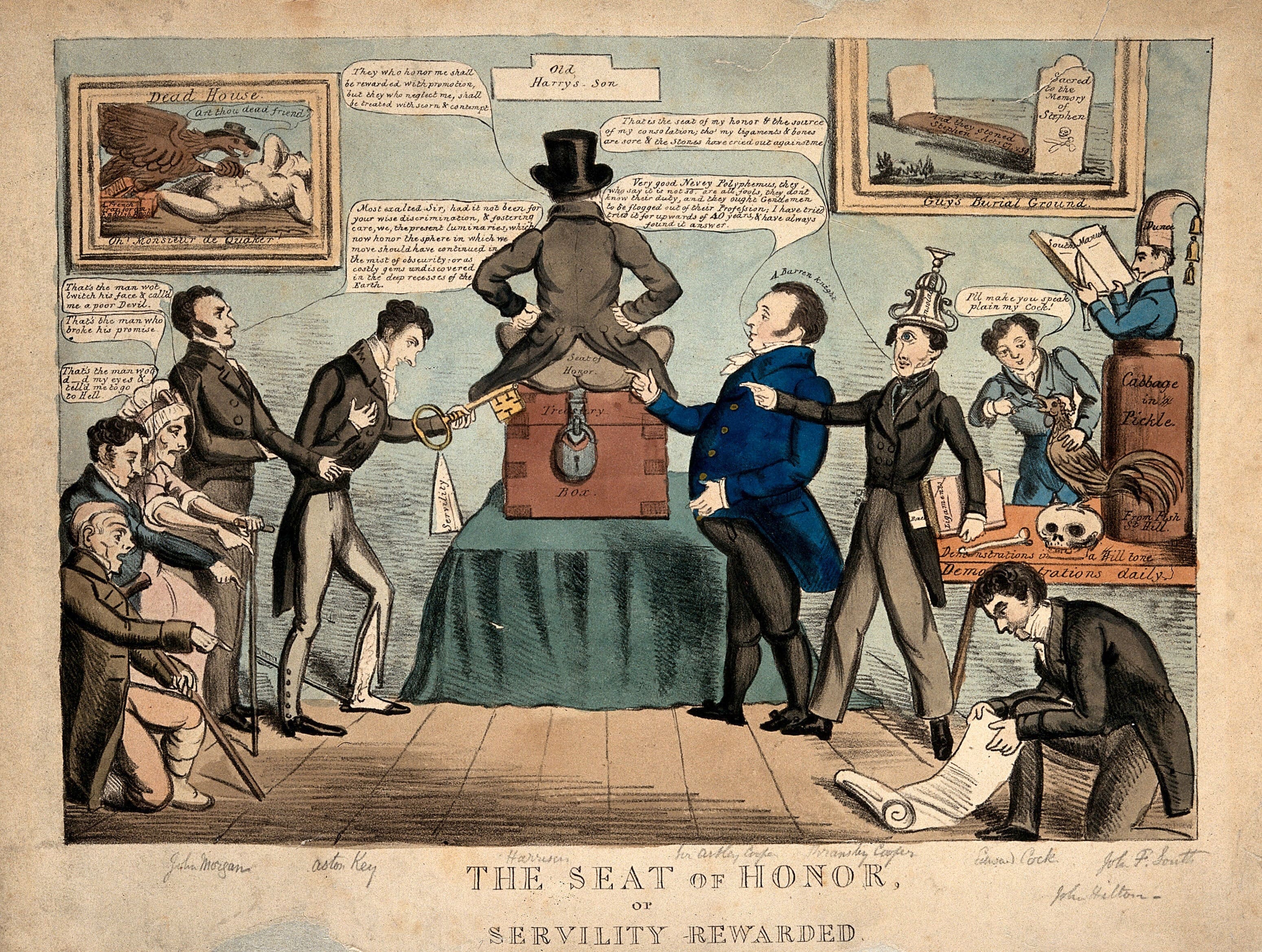
Nepotism is an advantage, privilege, or position that is granted to relatives and friends in an occupation or field. These fields may include but are not limited to, business, politics, academia, entertainment, sports, fitness, religion, and other activities. The term originated with the assignment of nephews to important positions by Catholic popes and bishops. Nepotism has been criticized since the ancient times by several philosophers, including Aristotle, Valluvar, and Confucius, condemning it as both evil and unwise. Origins The term comes from Italian word ''nepotismo'',"Nepotism." Dictionary.com. Retrieved 20 June 2013. which is based on Latin root ''nepos'' meaning nephew. Since the an ... [...More Info...] [...Related Items...] OR: [Wikipedia] [Google] [Baidu] |
Küttigen
Küttigen is a municipality in the district of Aarau of the canton of Aargau in Switzerland. History Küttigen is first mentioned in 1036 as ''Chutingen'' though this comes from a 14th Century copy of the original. In 1045 it was mentioned as ''Chutingun''. Geography Küttigen has an area, , of . Of this area, 36% is used for agricultural purposes, while 50.4% is forested. Of the rest of the land, 13% is settled (buildings or roads) and the remainder (0.6%) is non-productive (rivers or lakes). The municipality is located in the Aarau district between the Aare river and the Jura Mountains. It consists of the village of Küttigen and the hamlet of Horen. Coat of arms The blazon of the municipal coat of arms is ''Per bend Sable a Bend sinister Argent and Or.'' Demographics Küttigen has a population (as of ) of . , 14.9% of the population was made up of foreign nationals. [...More Info...] [...Related Items...] OR: [Wikipedia] [Google] [Baidu] |
Fricktal
The Fricktal ("Frick Valley") is a region on Northwestern Switzerland, comprising the Laufenburg and Rheinfelden districts of the Swiss canton of Aargau. The region was known as ''Frickgau'' in the medieval period, ultimately from a Late Latin , in reference to the iron mine located here in the Roman era, also transferred to the village of Frick as the main settlement. Frickgau was part of Breisgau within Further Austria in the early modern period. It was joined to Switzerland only during the Napoleonic period. It now forms a northwestern extension to the canton of Aargau to the east of Basel, between the High Rhine forming the border with Germany in the north and the Jura Mountains in the south. History In the Early Middle Ages, Fricktal formed part of the Alemannic '' Augstgau'' between the Rhine and Aar rivers, from the 10th century onwards of the smaller ''Frickgau'' region within Upper Burgundy, owned by the Counts of Homberg-Thierstein in the 11th and 12th centuries. ... [...More Info...] [...Related Items...] OR: [Wikipedia] [Google] [Baidu] |
Gränichen
Gränichen is a municipality in the district of Aarau of the canton of Aargau in Switzerland. Geography The river Wyna flows north at first and heads northwest thereafter. The valley has an average width of about . On both sides of the valley there are steep hills with tributary valleys and small high plateaus. The landscape is not dissimilar to that of the Tafeljura, even though - geographically and geologically speaking - Gränichen lies in the Midland of Switzerland. The hills on the left side of the valley are (from north to south): Manzenberg ( ), Wällenen (559 m), Moosberg (550 m), Heidberg () and Pfendel (). These are foothills of the Schornig (), which marks the transition to the valley of the river Suhre. The hills on the right side of the valley are called Fuden (), Räckholderen (), Breitenberg () and Surberg (). In front of the Breitenberg is the Schulthess () which has almost the shape of an ellipsis. The Dossen () und the high plateau of the Liebegg are foo ... [...More Info...] [...Related Items...] OR: [Wikipedia] [Google] [Baidu] |
Seon, Switzerland
Seon is a municipality in the district of Lenzburg in the canton of Aargau in Switzerland. Geography Seon lies within the Seetal valley, on the banks of the Aabach river. The municipality has an area, , of . Of this area, or 51.2% is used for agricultural purposes, while or 29.5% is forested. Of the rest of the land, or 19.8% is settled (buildings or roads), or 0.1% is either rivers or lakes.Swiss Federal Statistical Office-Land Use Statistics 2009 data accessed 25 March 2010 Of the built up area, industrial buildings made up 2.4% of the total area while housing and buildings made up 10.7% and transportation infrastructure made up 4.0%. Power and water infrastructure as well as other special developed areas made up 1.8% of the area Out of th ... [...More Info...] [...Related Items...] OR: [Wikipedia] [Google] [Baidu] |
Seengen
Seengen is a municipality in the district of Lenzburg in the canton of Aargau in Switzerland. Geography Seengen lies in the Seetal valley to the north of Lake Hallwil. The municipality has an area, , of . Of this area, or 51.3% is used for agricultural purposes, while or 32.3% is forested. Of the rest of the land, or 13.7% is settled (buildings or roads), or 0.1% is either rivers or lakes and or 1.9% is unproductive land.Swiss Federal Statistical Office-Land Use Statistics 2009 data accessed 25 March 2010 Of the built up area, housing and buildings made up 9.3% and transportation infrastructure made up 2.6%. Out of the forested land, all of the forested land area is covered with heavy forests. Of the agricultural land, 35.6% is used for g ... [...More Info...] [...Related Items...] OR: [Wikipedia] [Google] [Baidu] |

_220.jpg)


