|
Formartine
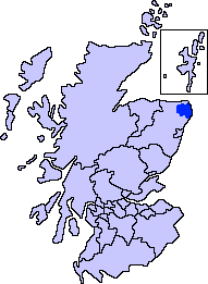
Formartine ( meaning "Martin's land") is a committee area in Aberdeenshire, Scotland. This district extends north from the River Don, Aberdeenshire, River Don to the River Ythan. It has a population of 36,478 (2001 Census). The committee area was formed in 1996 from part of the former Districts of Scotland, district of Banff and Buchan. Formartine has experienced rapid population growth, particularly around Ellon, Aberdeenshire, Ellon and Oldmeldrum, and in the south east where development has spread outwith the city of Aberdeen. By contrast, the area around Turriff retains strong dependency on the traditional agricultural economy. The area's coastline and rural environment offer recreation potential including the Formartine and Buchan Way. History Formartine is first documented as a thanage in 1266, when Reginald le Chen (d.1293), Reginald Cheyne is recorded holding it in feu (land tenure), feu-ferm and liable for 14 Merk (coin), merks as 2nd teinds payable to the Diocese of A ... [...More Info...] [...Related Items...] OR: [Wikipedia] [Google] [Baidu] |
Formartine And Buchan Way
The Formartine and Buchan Way is a long-distance trail in Scotland, extending from Dyce north to Peterhead and Fraserburgh in the Buchan and Formartine districts of Aberdeenshire in Scotland. It follows the track of a former railway line, the Formartine and Buchan Railway, and is open to walkers, cyclists and horse riders. The railway closed in 1979 (Fraserburgh) and 1970 (Maud-Peterhead). The walkway opened in the early 1990s, and is managed by Aberdeenshire Council. It is listed as one of Scotland's Great Trails by NatureScot. Places of interest along the way include Drinnes Wood Observatory, Strichen Stone Circle, Aden Country Park, Deer Abbey and The White Horse at Strichen. The total path is around long if both spurs are travelled and can be accessed relatively easily by public transport or car. An information pack detailing the route has been produced by Aberdeenshire Council: the pack can be purchased from local tourist information centres and is also available to downloa ... [...More Info...] [...Related Items...] OR: [Wikipedia] [Google] [Baidu] |
Ellon, Aberdeenshire
Ellon () is a town in Aberdeenshire, Scotland, approximately north of Aberdeen, lying on the River Ythan, which has one of the few undeveloped river estuaries on the eastern coast of Scotland. It is in the ancient region of Formartine. Its name is believed to derive from the Gaelic term ''Eilean'', an island, on account of the presence of an island in the River Ythan, which offered a convenient fording point. In 1707 it was made a burgh of barony for the Earl of Buchan. It is home to a unique collection of ancient yew trees. Places of interest Places of interest within the town include Ellon Castle Gardens, recently brought back to life by volunteers and open to the public (see website for latest opening times). They include a walled garden of historical importance, yew trees dating back 500-800 years and the ruins of old Ellon Castle, and the surrounding walls known as the ''Deer Dyke''. Ellon also has ''Auld Brig'', a category A listed bridge across the Ythan, built in 17 ... [...More Info...] [...Related Items...] OR: [Wikipedia] [Google] [Baidu] |
Buchan
Buchan is a coastal district in the north-east of Scotland, bounded by the Ythan and Deveron rivers. It was one of the original provinces of the Kingdom of Alba. It is now one of the six committee areas of Aberdeenshire. Etymology The genesis of the name ''Buchan'' is shrouded in uncertainty, but may be of Pictish origin. The name may involve an equivalent of Welsh ''buwch'' meaning "a cow". American academic Thomas Clancy has noted cautiously the similarity between the territory names ''Buchan'' and '' Marr'' to those of the Welsh commotes '' Cantref Bychan'' and '' Cantref Mawr'', meaning "small commote" and "large commote", respectively. History The first documentary record of Buchan is a reference in the '' Chronicle of the Kings of Alba'' to the death of King Indulf at the hands of Vikings in Buchan in 962, a death separately recorded in a 12th-century king list as taking place at Cullen. Cullen is to the west of the River Deveron, in an area where the Earls of ... [...More Info...] [...Related Items...] OR: [Wikipedia] [Google] [Baidu] |
Oldmeldrum
Oldmeldrum (commonly known as Meldrum) is a village and Civil parish, parish in the Formartine area of Aberdeenshire, not far from Inverurie in North East Scotland (Scottish Parliament electoral region), North East Scotland. With a population of around 2,187, Oldmeldrum falls within Scotland's top 300 centres of population. Oldmeldrum is home to one of the oldest whisky distilleries in Scotland, Glen Garioch, which was built in 1797. Local industries are agriculture and engineering services connected to the oil industry in Aberdeen. Prehistory and archaeology Archaeological excavations in advance of the construction of a new bypass road around the north of Oldmeldrum, in the summer 2005, revealed the remains of three Bronze Age Europe, Bronze Age ring-ditch Roundhouse (dwelling), roundhouses. The archaeologists believe that the houses that might be part of an area of open settlement which means the first settlement at Oldmeldrum was 3500 years ago. History The Battle of Barr ... [...More Info...] [...Related Items...] OR: [Wikipedia] [Google] [Baidu] |
Turriff
Turriff () is a town and civil parish in Aberdeenshire in Scotland. It lies on the River Deveron, about above sea level, and has a population of 5,708. In everyday speech it is often referred to by its Scots name ''Turra'', which is derived from the Scottish Gaelic pronunciation. Services and amenities There are four churches in Turriff: St Ninian's (Church of Scotland, 1794), St Andrew's (Church of Scotland), St Congan's (Episcopal Church, 1862), and a Baptist church. Turriff has a primary school, Turriff Primary School, and a secondary school, Turriff Academy. Turriff Primary School is a new build which replaced the old Markethill Primary School and opened to pupils on 22 August 2017. People from the surrounding areas, including the villages of Cuminestown, Fyvie and King Edward, attend the secondary school. Santander UK (formerly Alliance & Leicester) have a branch in the town. This is the only remaining bank in the town. The main supermarket chains are Tesco ( ... [...More Info...] [...Related Items...] OR: [Wikipedia] [Google] [Baidu] |
Aberdeenshire
Aberdeenshire (; ) is one of the 32 Subdivisions of Scotland#council areas of Scotland, council areas of Scotland. It takes its name from the Shires of Scotland, historic county of Aberdeenshire (historic), Aberdeenshire, which had substantially different boundaries. The Aberdeenshire Council area includes all of the areas of the historic counties of Aberdeenshire and Kincardineshire except the area making up Aberdeen City Council area, as well as part of Banffshire. The historic county boundaries are still officially used for a few purposes, namely land registration and Lieutenancy areas of Scotland, lieutenancy. Aberdeenshire Council is headquartered at Woodhill House in Aberdeen, making it the only Scottish council whose headquarters are located outside its jurisdiction. Aberdeen itself forms a different council area (Aberdeen City). Aberdeenshire borders onto Angus, Scotland, Angus and Perth and Kinross to the south, Highland (council area), Highland and Moray to the west a ... [...More Info...] [...Related Items...] OR: [Wikipedia] [Google] [Baidu] |
River Ythan
The Ythan is a river in the north-east of Scotland rising at Wells of Ythan near the village of Ythanwells and flowing south-eastwards through the towns of Fyvie, Methlick and Ellon, Aberdeenshire, Ellon before flowing into the North Sea near Newburgh, Aberdeenshire, Newburgh, in Formartine. The lower reach of the river is known as the Ythan Estuary, is a part of the River Ythan, Sands of Forvie and Meikle Loch Special Protection Area for conservation, particularly the breeding ground of three tern species (common tern, little tern and Sandwich tern) (Lumina, 2004). The River Ythan has a length of and a catchment area of . As figures of the discharge, are given or . Nitrate Vulnerable Zone The Scottish Government has designated the River Ythan catchment as a Nitrate vulnerable zone, Nitrate Vulnerable Zone following concerns about the spread of algal mats in the river during the 1990s. The resulting restrictions on the use of fertilisers in the catchment were criticised by m ... [...More Info...] [...Related Items...] OR: [Wikipedia] [Google] [Baidu] |
Banff And Buchan
Banff and Buchan is a committee area of the Aberdeenshire Council, Scotland, covering an area along the northern coast of the council area. The main towns are Banff and Fraserburgh. Fishing and agriculture are important industries, together with associated processing and service activity. Banff and Buchan was also the name of a district of Grampian Region between 1975 and 1996. The district covered a much larger area than the modern committee area. Its council was based in Banff. History The area has a long history of human occupation. Prehistoric features include a large long barrow at Longman Hill south-east of Macduff, as well as Cairn Lee to the west of Longman Hill. Local government district The Banff and Buchan local government district was created on 16 May 1975 under the Local Government (Scotland) Act 1973, which established a two-tier structure of local government across Scotland comprising upper-tier regions and lower-tier districts. Banff and Buchan was one o ... [...More Info...] [...Related Items...] OR: [Wikipedia] [Google] [Baidu] |
Fyvie Castle
Fyvie Castle is a castle in the village of Fyvie, near Turriff in Aberdeenshire, Scotland. History The earliest parts of Fyvie Castle date from the 13th century – some sources claim it was built in 1211 by William the Lion. Fyvie was the site of an open-air court held by Robert the Bruce, and Charles I of England, Charles I lived there as a child for 4 years. Following the Battle of Otterburn in 1388, it ceased to be a royal stronghold as it was passed to Henry Preston as a reward from Robert iii.. Instead, it fell into the possession of five successive families – ''Preston'', ''Meldrum'', ''Seton'', ''Gordon'' and ''Forbes-Leith'' – each of whom added a new tower to the castle. The oldest of these, the Preston Tower (located on the far right as one faces the main facade of Fyvie), dates to between 1390 and 1433. The impressive Seton tower forms the entrance, and was erected in 1599 by Alexander Seton, 1st Earl of Dunfermline, Alexander Seton. He commissioned the great w ... [...More Info...] [...Related Items...] OR: [Wikipedia] [Google] [Baidu] |
Royal Forest
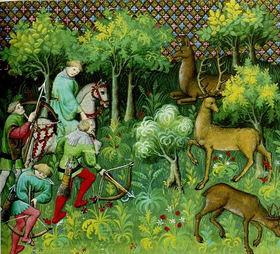
A royal forest, occasionally known as a kingswood (), is an area of land with different definitions in England, Wales, Scotland and Ireland. The term ''forest'' in the ordinary modern understanding refers to an area of wooded land; however, the original medieval sense was closer to the modern idea of a "preserve" – i.e. land legally set aside for specific purposes such as royal hunting – with less emphasis on its composition. There are also differing and contextual interpretations in Continental Europe derived from the Carolingian and Merovingian legal systems. In Anglo-Saxon England, though the kings were great huntsmen, they never set aside areas declared to be "outside" (Latin ''foris'') the law of the land. Historians find no evidence of the Anglo-Saxon monarchs (c. 500 to 1066) creating forests. However, under the Norman kings (after 1066), by royal prerogative forest law was widely applied. The law was designed to protect the " venison and the vert". In this sense, '' ... [...More Info...] [...Related Items...] OR: [Wikipedia] [Google] [Baidu] |
King Of Alba
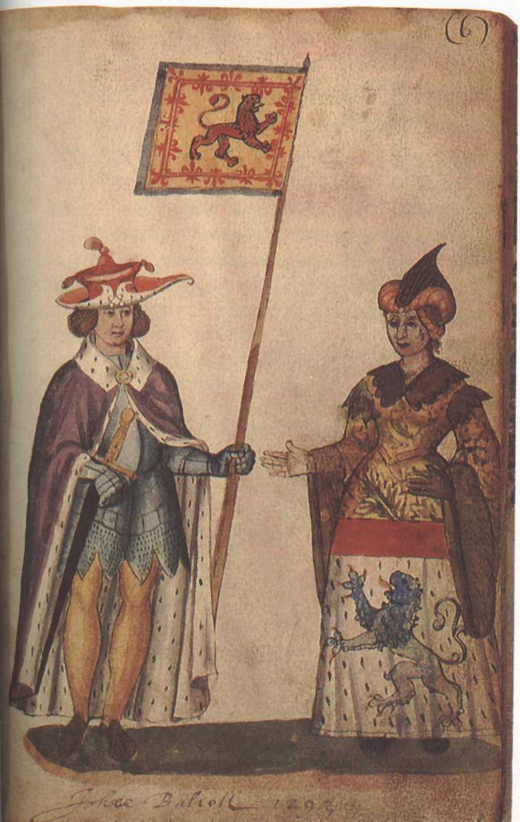
The monarch of Scotland was the head of state of the Kingdom of Scotland. According to tradition, Kenneth I MacAlpin () was the founder and first King of the Kingdom of Scotland (although he never held the title historically, being King of the Picts instead). The Kingdom of the Picts just became known as the Kingdom of Alba in Scottish Gaelic, which later became known in Scots and English as ''Scotland''; the terms are retained in both languages to this day. By the late 11th century at the very latest, Scottish kings were using the term , or King of Scots, to refer to themselves in Latin. The Kingdom of Scotland was merged with the Kingdom of England to form a single Kingdom of Great Britain in 1707. Thus, Queen Anne became the last monarch of the ancient kingdoms of Scotland and England and the first of Great Britain, although the kingdoms had shared a monarch since 1603 (see Union of the Crowns). Her uncle Charles II was the last monarch to be crowned in Scotland, at Sc ... [...More Info...] [...Related Items...] OR: [Wikipedia] [Google] [Baidu] |
Mormaer Of Buchan
The Mormaer () or Earl of Buchan () was originally the provincial ruler of the medieval province of Buchan. Buchan was the first Mormaerdom in the High Medieval Kingdom of the Scots to pass into the hands of a non-Scottish family in the male line. The earldom had three lines in its history, not counting passings from female heirs to sons. Today, it is held by the Erskine family as a peerage. The current holder is Harry Erskine, 18th Earl of Buchan (b. 1960). Subsidiary titles are Lord Cardross and Lord Auchterhouse and Baron Erskine. Mormaerdom of Buchan The first recorded person who definitely held the position of mormaer was Gartnait, whose patronage is noted in the Gaelic Notes on the '' Book of Deer''. The latter is the only significant source for the mormaerdom, and its existence makes Buchan one of Scotland's best documented provinces for native cultural institutions. After the death of Fergus, before 1214, Buchan became the first native mormaerdom to pass into the ha ... [...More Info...] [...Related Items...] OR: [Wikipedia] [Google] [Baidu] |


