|
Enugu
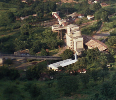
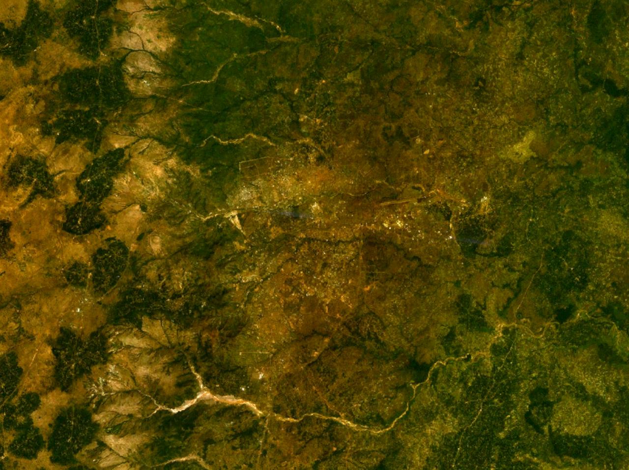
Enugu ( ; ) is the capital city of Enugu State in Nigeria. It is located in southeastern part of Nigeria. The city had a population of 820,000 according to the 2022 Nigerian census. The name ''Enugu'' is derived from the two Igbo words ''Énú Ụ́gwụ́'', meaning "hill top", denoting the city's hilly geography. Since the 17th century the location of present-day Enugu has been inhabited by the Enugwu-Ngwo and Nike ( ) subgroup of the Igbo people; . In 1900, the Southern Nigeria Protectorate was established by the colonial administration of the British Empire. The discovery of coal by the colonists led to the creation of what was then known as the Enugu Coal Camp, named after the nearby village of Enugu Ngwo, under which coal was first found. The nearby city of Port Harcourt was created for the purpose of shipping this coal abroad, being located south of the camp. Coal mining opportunities in Enugu attracted people from throughout the region; this marked the core of the f ... [...More Info...] [...Related Items...] OR: [Wikipedia] [Google] [Baidu] |
Enugu State
Enugu State ( ig, Ȯra Enugu) is a state in the South-East geopolitical zone of Nigeria, bordered to the north by the states of Benue and Kogi, Ebonyi State to the east and southeast, Abia State to the south, and Anambra State to the west. The state takes its name from its capital and largest city, Enugu. Of the 36 states, Enugu is the 29th largest in area and 22nd most populous with an estimated population of over 4.4 million as of 2016. Geographically, the state is divided between the Niger Delta swamp forests in the far south and the drier Guinean forest–savanna mosaic with some savanna in the rest of the state. Other important geographical features are the Udi-Nsukka Plateau and Ekulu River, which flows through the city of Enugu. Modern-day Enugu State has been inhabited for years by various ethnic groups, primarily the Igbo people with minorities of Idoma and Igala peoples in Etteh Uno. In the pre-colonial period, what is now Enugu State was a part of the med ... [...More Info...] [...Related Items...] OR: [Wikipedia] [Google] [Baidu] |
Fall Of Enugu
The fall of Enugu was a military conflict between Nigerian and Biafran forces in September and October 1967 during the Nigerian Civil War which centered around Enugu, the capital of the secessionist Republic of Biafra. Nigerian federal forces had made Enugu's capture a priority shortly after war broke out, but their advance stalled at Nsukka. Biafran leader Odumegwu Ojukwu attempted to distract the Nigerian Army by initiating an invasion of Nigeria's Mid-Western Region in August, but the offensive was brought to a halt. Lieutenant Colonel Theophilus Danjuma took charge of the Nigerian forces at the Nsukka front and prepared to advance on Enugu with seven battalions of the 1st Division. Enugu was garrisoned by one brigade led by Colonel Alexander Madiebo and poorly armed civilians called into service. Danjuma decided to launch an offensive with his forces spread over a broad front to make it more difficult for the Biafrans to block them along major roads as had happened up to tha ... [...More Info...] [...Related Items...] OR: [Wikipedia] [Google] [Baidu] |
Enugu South
Enugu South is a Local Government Area of Enugu State, Nigeria. Its headquarters are in the town of Uwani, Nnobi Street Enugu, and covers the communities of Akwuke, Amechi, Ugwuaji, Obeagu, Awkunanaw and Amechi-Uwani. Enugu South is bounded to the north by Enugu North and to the east by Nkanu East local government areas. It falls within the Eastern senatorial districts of Enugu. It has an area of 67 km and a population of 198,723 at the 2006 census, and is put to be 267,300 according to 2016 population projection. Majority of the population are from Igbo ethnic group, thus Igbo and English are the major languages in Enugu South. The postal code of the area is 400. Geography Enugu South covers a land area of 67 square kilometers and has an average yearly temperature of 27 °C. The area experience average humidity of 69%, while the LGA has two major seasons which are the dry and the rainy seasons with a brief ''harmattan'' period during the dry season. Landmarks in the a ... [...More Info...] [...Related Items...] OR: [Wikipedia] [Google] [Baidu] |
Enugu East
Enugu East is a Local Government Area of Enugu State, Nigeria. Enugu East is made up three zones/districts: Nike-Uno, Ugwogo and Mbuli NjodoIts. Headquarters are in the town of Nkwo Nike. It had an area of 383 km and a population of 279,089 at the 2006 census. The postal code of the area is 400. Government Enugu East Local Government Area is one of the lower tier administrations within Enugu state and it is under the Enugu west senatorial zone. This local government operates within the Enugu state government to provide development to the communities surrounding them. Political Divisions Enugu East is one of the seventeen local government areas of Enugu State, and it is one of the three local governments that made up the Enugu Town urban area; alongside Enugu North and Enugu South Enugu South is a Local Government Area of Enugu State, Nigeria. Its headquarters are in the town of Uwani, Nnobi Street Enugu, and covers the communities of Akwuke, Amechi, Ugwuaji, Obeag ... [...More Info...] [...Related Items...] OR: [Wikipedia] [Google] [Baidu] |
Enugu North
Enugu North is a Local Government Area of Enugu State, Nigeria. Its headquarters are in the city of Enugu at Opkara Avenue. The LGA is made up of four main district areas Amaigbo Lane, Onuato, Umunevo and Ihenwuzi. Enugu North is one of the seventeen local governments in Enugu state and also one of the three LGA's that made up the Enugu Town - plus Enugu East and Enugu South. It has an area of 106 km and a population of 244,852 at the 2006 census The postal code A postal code (also known locally in various English-speaking countries throughout the world as a postcode, post code, PIN or ZIP Code) is a series of letters or digits or both, sometimes including spaces or punctuation, included in a postal a ... of the area is 400. Geography Enugu North LGA has a land size of 106 square kilometers, and a population of 244,852 at the 2006 census and an average temperature of 27 degrees Celsius. The area's average humidity is 69 percent, and the LGA has two distinct seaso ... [...More Info...] [...Related Items...] OR: [Wikipedia] [Google] [Baidu] |
Akanu Ibiam International Airport
Akanu Ibiam International Airport , also known as Enugu Airport, is an airport serving Enugu, the capital city of Enugu State of Nigeria, and nearby cities, such as Abakaliki, Awka, Onitsha, Nnewi, Afikpo, Okigwe, Nsukka, Ugep, Orlu, Idah, Otukpo and Ogoja. The airport is named after the late Akanu Ibiam (1906–1995), a medical doctor and statesman who hailed from Afikpo in Ebonyi State. The airport was closed on February 10, 2010, by the Federal Airports Authority of Nigeria (FAAN) for the first phase of major renovation and expansion works. The airport was re-opened on 16 December 2010, but the second and third phase of the construction work is still ongoing. The airport is being prepared for its new status as an international airport. Airlines and destinations Statistics These data show number of passengers movements into the airport, according to the Federal Airports Authority of Nigeria's Aviation Sector Summary Reports. Accidents and incidents *In August 2019, si ... [...More Info...] [...Related Items...] OR: [Wikipedia] [Google] [Baidu] |
Igboland
Igboland (Standard ), also known as Southeastern Nigeria (but extends into South-Southern Nigeria), is the indigenous homeland of the Igbo people. It is a cultural and common linguistic region in southern Nigeria. Geographically, it is divided by the lower Niger River into two sections: an eastern (the larger of the two) and a western one. Its population is characterised by the diverse Igbo culture and the speakers of equally diverse Igbo languages. Politically, Igboland is divided into several southern Nigerian states; culturally, it has included several subgroupings, including the Anioma, the Ngwa people, Ngwa, the Aro people, Aro, the Edda people, Ezza, the Ibeku, the Ohuhu people, Ohuhu, the Oboro (Nigeria), Oboro, the Ikwerre people, Ikwerre, the Ogba people, Ogba, the Omuma, the Ohafia, the Oyigbo, the Mbaise, the Isu people, Isu and the Ekpeye. Territorial boundaries Igboland is surrounded on all sides by large rivers, and other southern and central Nigeria indigenous tr ... [...More Info...] [...Related Items...] OR: [Wikipedia] [Google] [Baidu] |
Eastern Region, Nigeria
The Eastern Region was an administrative region in Nigeria, dating back originally from the division of the colony Southern Nigeria in 1954. Its first capital was Calabar. The capital was later moved to Enugu and the second capital was Umuahia. The region was officially divided in 1967 into three new states, the East-Central State, Rivers State and South-Eastern State. East-Central State had its capital at Enugu, which is now part of Enugu State. The region had the third-, fourth- and fifth-largest indigenous ethnic groups including Igbo, Ibibio and Ijaw. It was what later became Biafra, which was in rebellion from 1967 to 1970. Geography The Eastern region of Nigeria was geographically located in Southeastern Nigeria. It is bordered by the Niger river in the West and has an administrative and cultural border with the Northern region of Nigeria to the north. The eastern boundary lies between the border of Nigeria and Cameroon and the southern coast is along the Gulf of G ... [...More Info...] [...Related Items...] OR: [Wikipedia] [Google] [Baidu] |
List Of Nigerian Cities By Population
The following are lists of the most populous fully defined incorporated settlements in Nigeria by population. This page consists three different tables, with different kinds of settlements; a list for " defined cities", listing the population, strictly within the defined city limits, a list for "urban area" population, and another list for the population within metropolitan areas. Lists Defined cities/towns Nigerian cities are categorized into three types; there is the "Metropolis", which is characterized with having more than one Local Government Areas (LGAs). This type of cities are usually formed when large municipalities are split into smaller LGAs, to aid efficient administration and management, or when small towns grow and merge into existing large cities, or both; some are also formed when urban areas of multiple LGAs merge as a result of growth and are now fully defined as a single settlement, Another type of settlement is the "Municipality", which is basical ... [...More Info...] [...Related Items...] OR: [Wikipedia] [Google] [Baidu] |
Igbo People
The Igbo people ( , ; also spelled Ibo" and formerly also ''Iboe'', ''Ebo'', ''Eboe'', * * * ''Eboans'', ''Heebo''; natively ) are an ethnic group in Nigeria. They are primarily found in Abia, Anambra, Ebonyi, Enugu, and Imo States. A sizable Igbo population is also found in Delta and Rivers States. Large ethnic Igbo populations are found in Cameroon, Gabon, and Equatorial Guinea, as well as outside Africa. There has been much speculation about the origins of the Igbo people, which are largely unknown. Geographically, the Igbo homeland is divided into two unequal sections by the Niger River—an eastern (which is the larger of the two) and a western section. The Igbo people are one of the largest ethnic groups in Africa. The Igbo language is part of the Niger-Congo language family. Its regional dialects are somewhat mutually intelligible amidst the larger "Igboid" cluster. The Igbo homeland straddles the lower Niger River, east and south of the Edoid and Idomoid gr ... [...More Info...] [...Related Items...] OR: [Wikipedia] [Google] [Baidu] |
Republic Of Biafra
Biafra, officially the Republic of Biafra, was a partially recognised secessionist state in West Africa that declared independence from Nigeria and existed from 1967 until 1970. Its territory consisted of the predominantly Igbo-populated former Eastern Region of Nigeria. Biafra was established on 30 May 1967 by Igbo military officer and Eastern Region governor C. Odumegwu Ojukwu under his presidency, following a series of ethnic tensions and military coups after Nigerian independence in 1960 that culminated in the 1966 massacres of Igbo people and other Eastern ethnic groups living in northern Nigeria. The military of Nigeria proceeded to invade Biafra shortly after its secession, resulting in the start of the Nigerian Civil War. Biafra was formally recognised by Gabon, Haiti, Ivory Coast, Tanzania, and Zambia. Other nations, which did not officially recognise Biafra, but provided diplomatic or military support to Biafra, included France, Spain, Portugal, Norway, Israel, Rho ... [...More Info...] [...Related Items...] OR: [Wikipedia] [Google] [Baidu] |
States Of Nigeria
Nigeria is a federation of 36 states and 1 federal capital territory. Each of the 36 states is a semi-autonomous political unit that shares powers with the federal government as enumerated under the Constitution of Nigeria, Constitution of the Federal Republic of Nigeria. The Federal Capital Territory (Nigeria), Federal Capital Territory (FCT), is the capital territory of Nigeria, and it is in this territory that the capital city of Abuja is located. The FCT is not a state but is administered by elected officials who are supervised by the federal government. Each state is subdivided into Local government areas of Nigeria, local government areas (LGAs). There are 774 local governments in Nigeria. Under the constitution, the 36 states are co-equal but not supreme because sovereignty resides with the federal government. The constitution can be amended by the National Assembly (Nigeria), National Assembly, but each amendment must be ratified by two-thirds of the 36 states of the feder ... [...More Info...] [...Related Items...] OR: [Wikipedia] [Google] [Baidu] |


