|
Ellis, South Dakota
Ellis is an unincorporated community in south-central Minnehaha County, South Dakota, United States. Ellis is located approximately one mile west of the Sioux Falls city limits on Ellis Road, or north of South Dakota Highway 42. The Ellis & Eastern Railroad is based in Ellis, running to Brandon to the east. In 1995, the two largest commodities carried by trains were non-metallic minerals and chemicals, mostly for factories near Sioux Falls. The community is considered a part of the Sioux Falls metropolitan area The Sioux Falls Metropolitan Statistical Area, as defined by the United States Census Bureau, is an area consisting of four counties in South Dakota, anchored by the city of Sioux Falls. The metro area is referred to locally as the Sioux Empire. D .... History Ellis was founded on April 27, 1893, and was originally called Scoopville. The present name most likely honors A. B. Ellis, a railroad employee. References Unincorporated communities in Minnehaha Count ... [...More Info...] [...Related Items...] OR: [Wikipedia] [Google] [Baidu] |
Unincorporated Community
An unincorporated area is a region that is not governed by a local municipal corporation. Widespread unincorporated communities and areas are a distinguishing feature of the United States and Canada. Most other countries of the world either have no unincorporated areas at all or these are very rare: typically remote, outlying, sparsely populated or uninhabited areas. By country Argentina In Argentina, the provinces of Chubut, Córdoba, Entre Ríos, Formosa, Neuquén, Río Negro, San Luis, Santa Cruz, Santiago del Estero, Tierra del Fuego, and Tucumán have areas that are outside any municipality or commune. Australia Unlike many other countries, Australia has only one level of local government immediately beneath state and territorial governments. A local government area (LGA) often contains several towns and even entire metropolitan areas. Thus, aside from very sparsely populated areas and a few other special cases, almost all of Australia is part of an LGA. Uninc ... [...More Info...] [...Related Items...] OR: [Wikipedia] [Google] [Baidu] |
Minnehaha County, South Dakota
Minnehaha County is a county on the eastern border of the state of South Dakota. As of the 2020 census, the population was 197,214, making it the state's most populous county. It contains over 20% of the state's population. Its county seat is Sioux Falls, South Dakota's largest city. The county was created in 1862 and organized in 1868. Its name was derived from the Sioux word ''Mnihaha,'' meaning "rapid water," or "waterfall" (often incorrectly translated as "laughing water"). Minnehaha County is part of the Sioux Falls Metropolitan Statistical Area, the state's largest. Geography Minnehaha County lies on the east side of South Dakota. Its eastern boundary abuts Minnesota as well as the northern and western boundaries of Iowa. The Big Sioux River flows south-southeast through the east central part of the county. Its terrain consists of rolling hills, devoted to agriculture except around built-up areas, and dotted with lakes and ponds in its western portion. Its terrain gene ... [...More Info...] [...Related Items...] OR: [Wikipedia] [Google] [Baidu] |
South Dakota
South Dakota (; Sioux language, Sioux: , ) is a U.S. state in the West North Central states, North Central region of the United States. It is also part of the Great Plains. South Dakota is named after the Lakota people, Lakota and Dakota people, Dakota Sioux Native Americans in the United States, Native American tribes, who comprise a large portion of the population with nine Indian reservation, reservations currently in the state and have historically dominated the territory. South Dakota is the List of U.S. states and territories by area, seventeenth largest by area, but the List of U.S. states and territories by population, 5th least populous, and the List of U.S. states and territories by population density, 5th least densely populated of the List of U.S. states, 50 United States. As the southern part of the former Dakota Territory, South Dakota became a state on November 2, 1889, simultaneously with North Dakota. They are the 39th and 40th states admitted to the union; Pr ... [...More Info...] [...Related Items...] OR: [Wikipedia] [Google] [Baidu] |
Sioux Falls, South Dakota
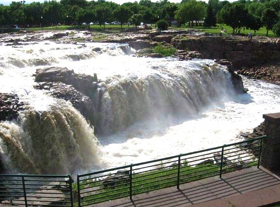
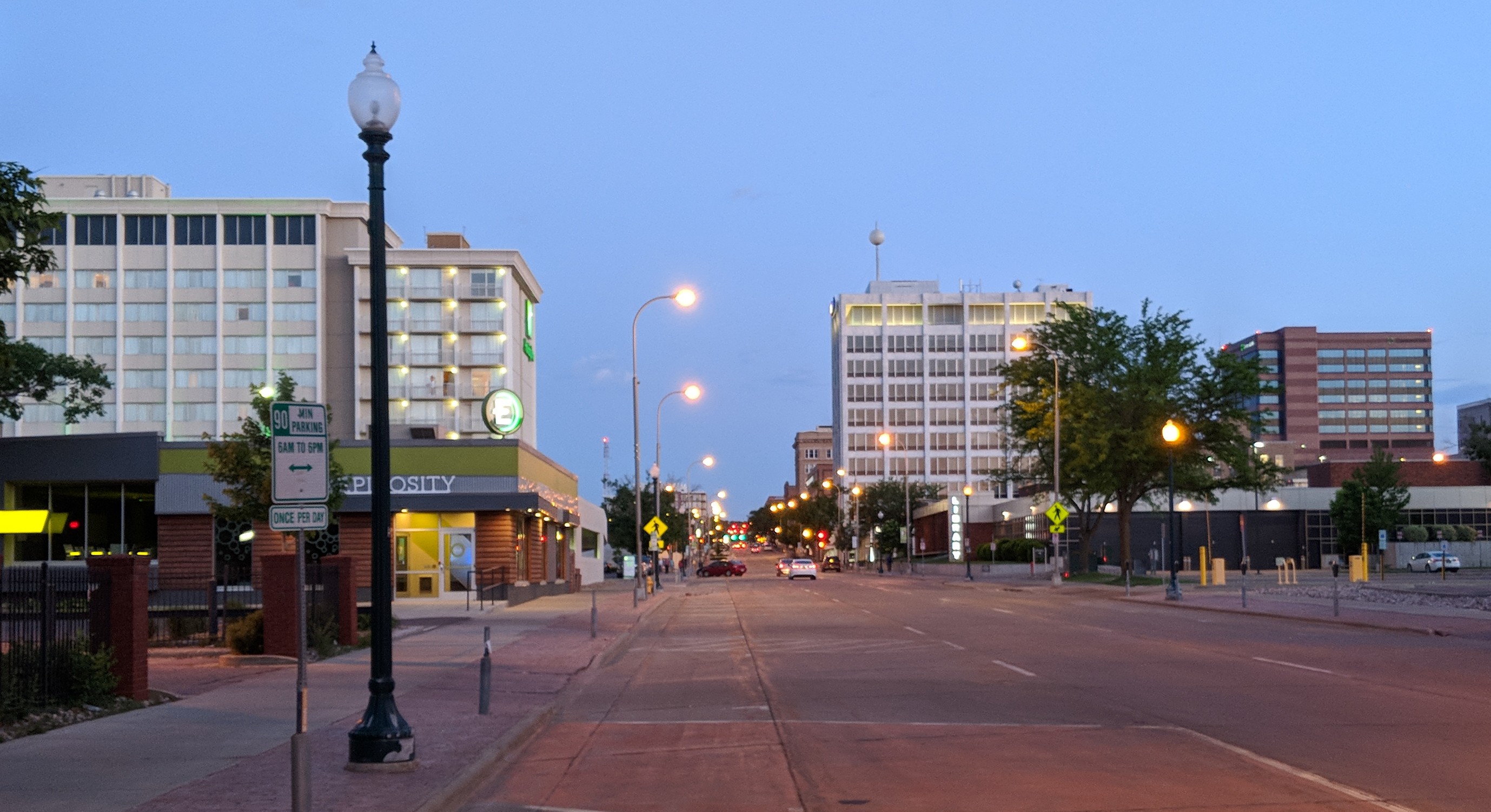
Sioux Falls () is the most populous city in the U.S. state of South Dakota and the 130th-most populous city in the United States. It is the county seat of Minnehaha County and also extends into Lincoln County to the south, which continues up to the Iowa state line. As of 2020, Sioux Falls had a population of 192,517, which was estimated in 2022 to have increased to 202,600. The Sioux Falls metro area accounts for more than 30% of the state's population. Chartered in 1856 on the banks of the Big Sioux River, the city is situated in the rolling hills at the junction of interstates 29 and 90. History The history of Sioux Falls revolves around the cascades of the Big Sioux River. The falls were created about 14,000 years ago during the last ice age. The lure of the falls has been a powerful influence. Ho-Chunk, Ioway, Otoe, Missouri, Omaha (and Ponca at the time), Quapaw, Kansa, Osage, Arikira, Dakota, and Cheyenne people inhabited and settled the region previous to Europea ... [...More Info...] [...Related Items...] OR: [Wikipedia] [Google] [Baidu] |
South Dakota Highway 42
South Dakota Highway 42 (SD 42) is a segmented state highway in southeastern South Dakota, United States. The first segment is a highway in Aurora County. The second and longest is long and connects Ethan and Sioux Falls. The final segment connects Sioux Falls to Iowa Highway 9 southeast of Rowena. Route description The westernmost segment of SD 42 begins at a junction with U.S. Route 281 (US 281) and travels east through open farmland. This is the shortest of the three segments; it is only about long, and it ends as the roadway crosses from Aurora County into Davison County. The central segment of the highway begins at an intersection with SD 37 in rural Davison County. It heads east and crosses the BNSF Railway. Just east of the railroad, the route passes through the town of Ethan, then enters Hanson County. About farther east, SD 42 bends slightly to the south and crosses the James River. The highway continues east through the flat prairie ... [...More Info...] [...Related Items...] OR: [Wikipedia] [Google] [Baidu] |
Ellis & Eastern Railroad
Ellis is a surname of Welsh and English origin. Retrieved 21 January 2014 An independent French origin of the surname is said to derive from the phrase fleur-de-lis. Surname A *Abe Ellis (Stargate), a fictional character in the TV series ''Stargate Atlantis'' *Adam Ellis (born 1996), British speedway rider * Adrienne Ellis (born 1944), American-Canadian actress *Albert Ellis (other), multiple people * Alexander Ellis (other), multiple people * Allan Ellis (other) *Alton Ellis (1938–2008), Jamaican musician * Andrew Ellis (other), multiple people * Anita Ellis (other), multiple people *Annette Ellis (born 1946), Australian politician *Arthur Ellis (other), multiple people *Atom Ellis (born 1966), American musician *Aunjanue Ellis (born 1969), American actress B *Ben Ellis (other), multiple people * Bill Ellis (1919–2007), English cricketer *Boaz Ellis (born 1981), Israeli fencer *Bob Ellis (born 1942), Australian ... [...More Info...] [...Related Items...] OR: [Wikipedia] [Google] [Baidu] |
Brandon, South Dakota
Brandon is a city in Minnehaha County, South Dakota, United States. Brandon is located five miles east of Sioux Falls. The population was 11,048 as of the 2020 census. History A post office called Brandon has been in operation since 1878. The city took its name from Brandon Township. Geography Brandon is located at (43.591580, -96.580685), along the Big Sioux River and Split Rock Creek. According to the United States Census Bureau, the city has a total area of , of which is land and is water. Demographics As of the census of 2010, there were 8,785 people, 3,118 households, and 2,417 families residing in the city. The population density was . There were 3,238 housing units at an average density of . The racial makeup of the city was 96.8% White, 0.6% African American, 0.5% Native American, 0.6% Asian, 0.3% from other races, and 1.2% from two or more races. Hispanic or Latino of any race were 1.2% of the population. There were 3,118 households, of which 48.2% had childre ... [...More Info...] [...Related Items...] OR: [Wikipedia] [Google] [Baidu] |
Sioux Falls, South Dakota Metropolitan Area
The Sioux Falls Metropolitan Statistical Area, as defined by the United States Census Bureau, is an area consisting of four counties in South Dakota, anchored by the city of Sioux Falls. The metro area is referred to locally as the Sioux Empire. Despite the name, it is considered a part of the larger area known as Siouxland as it is within the Big Sioux River basin. As of the 2020 census, the MSA had a population of 276,730. Counties *Lincoln (population: 65,161) * McCook (population: 5,682) *Minnehaha (population: 197,214) *Turner (population: 8,673) Communities Places with more than 150,000 inhabitants *Sioux Falls (Principal city) Places with 1,000 to 15,000 inhabitants * Beresford (partial) *Brandon * Canton * Crooks * Dell Rapids * Garretson *Harrisburg *Hartford * Lennox * Parker * Salem *Tea *Worthing Places with 500 to 1,000 inhabitants *Baltic * Bridgewater * Canistota * Centerville * Colton * Humboldt *Marion * Valley Springs * Viborg Places with fewer than 500 in ... [...More Info...] [...Related Items...] OR: [Wikipedia] [Google] [Baidu] |
Unincorporated Communities In Minnehaha County, South Dakota
Unincorporated may refer to: * Unincorporated area, land not governed by a local municipality * Unincorporated entity, a type of organization * Unincorporated territories of the United States, territories under U.S. jurisdiction, to which Congress has determined that only select parts of the U.S. Constitution apply * Unincorporated association Unincorporated associations are one vehicle for people to cooperate towards a common goal. The range of possible unincorporated associations is nearly limitless, but typical examples are: :* An amateur football team who agree to hire a pitch onc ..., also known as voluntary association, groups organized to accomplish a purpose * ''Unincorporated'' (album), a 2001 album by Earl Harvin Trio {{disambig ... [...More Info...] [...Related Items...] OR: [Wikipedia] [Google] [Baidu] |
Unincorporated Communities In South Dakota
Unincorporated may refer to: * Unincorporated area, land not governed by a local municipality * Unincorporated entity, a type of organization * Unincorporated territories of the United States, territories under U.S. jurisdiction, to which Congress has determined that only select parts of the U.S. Constitution apply * Unincorporated association Unincorporated associations are one vehicle for people to cooperate towards a common goal. The range of possible unincorporated associations is nearly limitless, but typical examples are: :* An amateur football team who agree to hire a pitch onc ..., also known as voluntary association, groups organized to accomplish a purpose * ''Unincorporated'' (album), a 2001 album by Earl Harvin Trio {{disambig ... [...More Info...] [...Related Items...] OR: [Wikipedia] [Google] [Baidu] |


