|
Ellerbe Creek
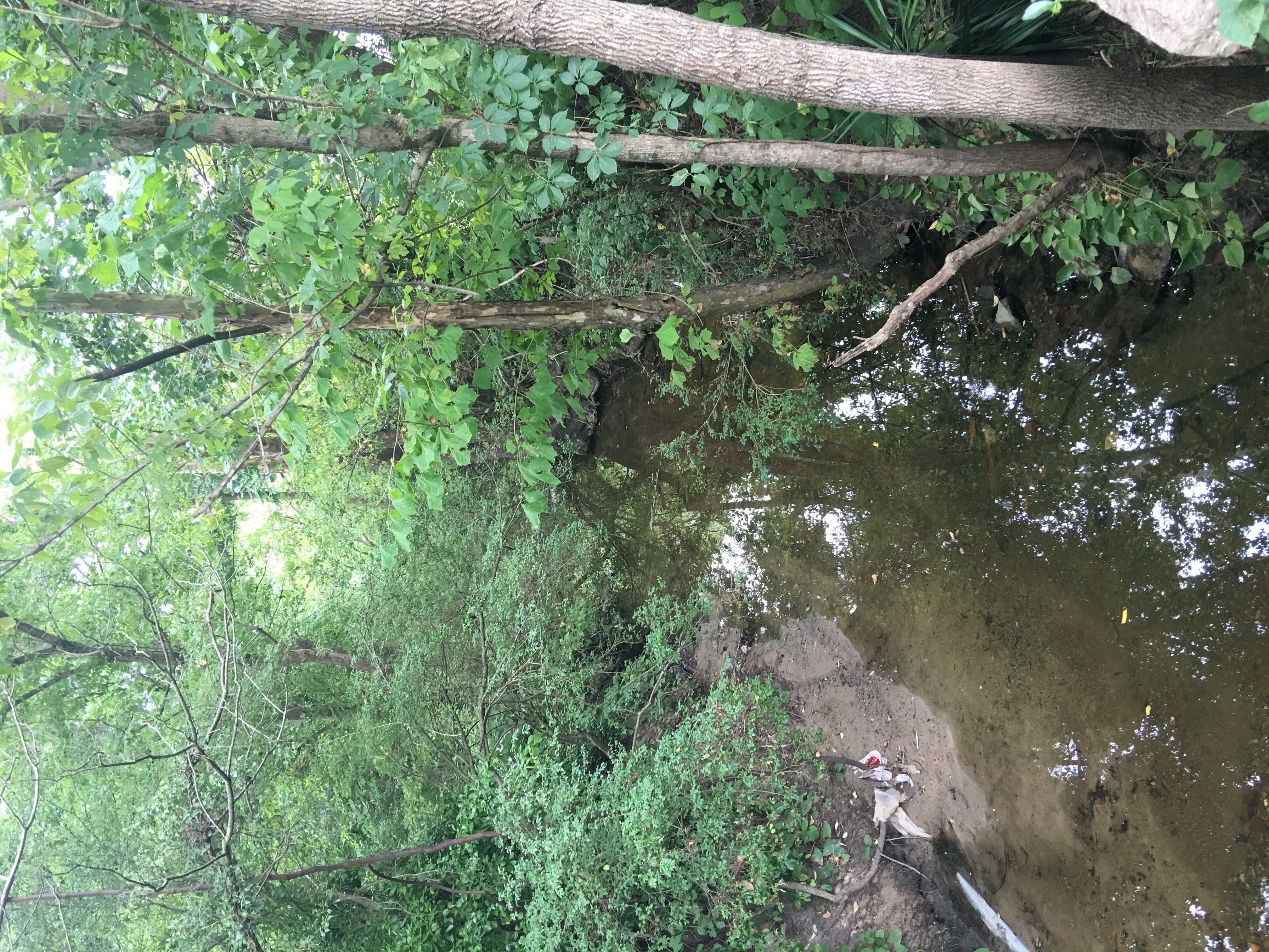
Ellerbe Creek is tributary of the Neuse River in North Carolina, USA. It is part of the Neuse River Basin, and flows for more than twenty miles through North Durham. The Ellerbe's watershed begins near Orange County north of Interstate 85, near the WDNC radio tower and Bennett Place. The creek flows through many of Durham's most historic and culturally significant areas, including Ninth Street, Downtown Durham, beneath Durham Athletic Park, The North Carolina School of Science and Mathematics, the Museum of Life and Science, the old Durham Landfill, Duke University East Campus, Trinity Park, Walltown, Northgate Mall, and towards the end crosses Fishdam Road. The Ellerbe eventually flows into Falls Lake, about a mile south of the Eno River. It has been cited as the most polluted creek in The Triangle region of North Carolina. A watershed improvement plan was prepared by the Brown and Caldweld firm for the City of Durham in 2010. Some say Ellerbe is a name derived from a Nat ... [...More Info...] [...Related Items...] OR: [Wikipedia] [Google] [Baidu] |
Walltown, Durham, North Carolina
Walltown is a historically African-American neighborhood in Durham, North Carolina. The neighborhood is located between West Durham Historic District and Trinity Historic District, north of Duke University East Campus. Historically, the neighborhood was a working class neighborhood for African-American employees of Duke University and local tobacco and textile mills in Durham. Walltown was named after George Wall, a former enslaved person, who was one of the first people to purchase a lot in the area. Members of the community were active in the civil rights movement and desegregation in Durham. Since the beginning of the twenty-first century, Walltown has been undergoing gentrification. Location Walltown is a historically African-American, working class neighborhood. Located north of Duke University's East Campus, it originally served as a residential neighborhood for service employees of the University and local tobacco and textile mills. It is bordered by West Durham Hi ... [...More Info...] [...Related Items...] OR: [Wikipedia] [Google] [Baidu] |
Ellerbe Creek Trail
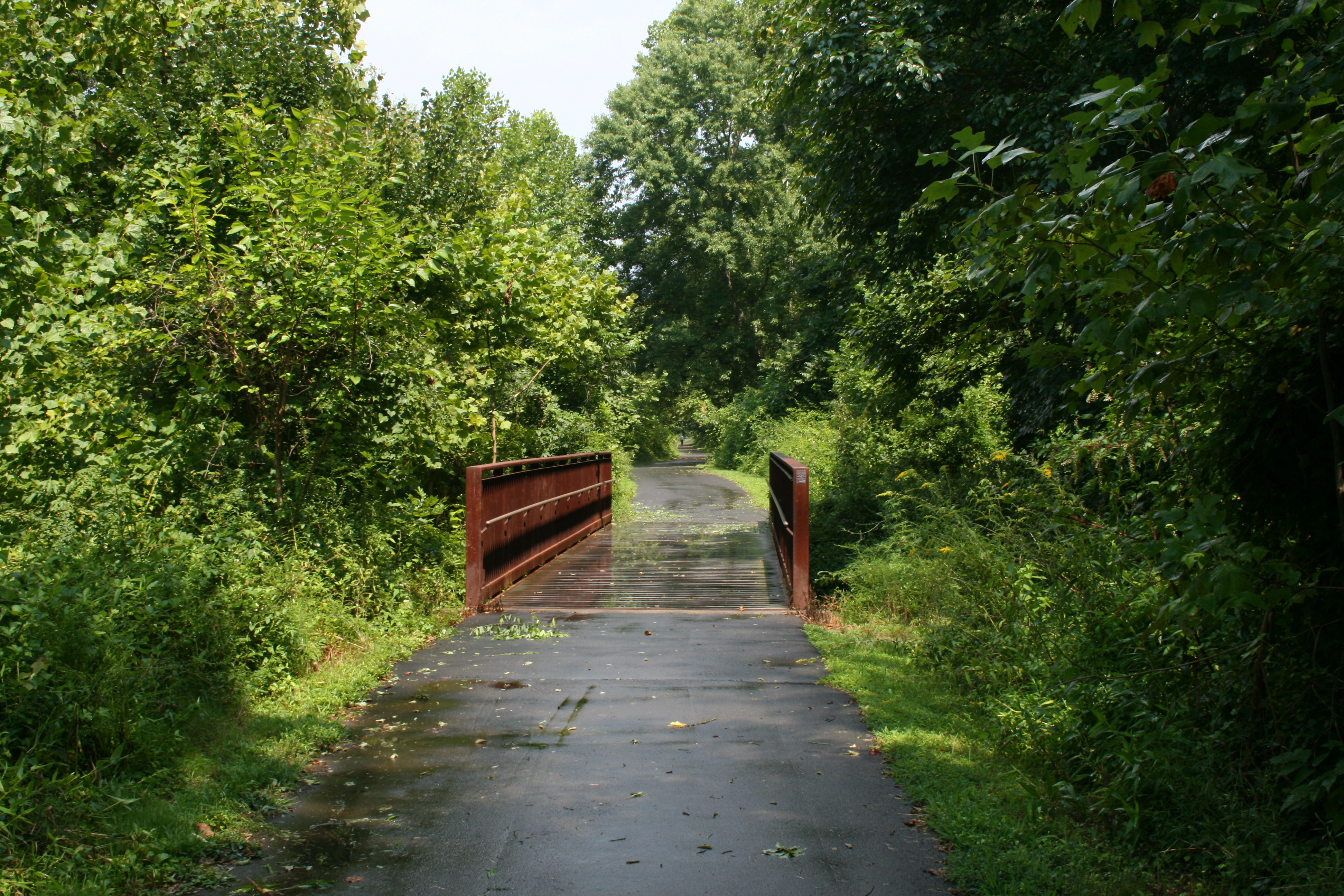
Ellerbe Creek Trail is a pedestrian and bicycle greenway located in Durham, North Carolina. From downtown Durham, the trail runs along South Ellerbe Creek from Trinity Avenue to the corner of Washington Street and Club Boulevard. It then follows the sidewalk from Club Boulevard and Washington Street to Northgate Park where it turns back into a pedestrian and bicycle greenway. From Northgate park, it continues on to Stadium Drive. The trail is part of the planned East Coast Greenway. Ellerbe Creek Trail contributes approximately 4 miles to the East Coast Greenway. Technically, the Ellerbe Creek Trail is a group of shorter trails. The shorter trails as defined by The Durham Open Space and Trails Commission are known as follows: * Ellerbe Creek Trail: ''Durham Co. Stadium to Northgate Park'' * S. Ellerbe Creek Trail: '' Northgate Park to Trinity Ave.'' * Stadium Drive Trail: ''Durham Co. Stadium to Whippoorwill Park'' Ellerbe Creek trail connects to the Warren Creek Trail on the no ... [...More Info...] [...Related Items...] OR: [Wikipedia] [Google] [Baidu] |
United States
The United States of America (U.S.A. or USA), commonly known as the United States (U.S. or US) or America, is a country primarily located in North America. It consists of 50 states, a federal district, five major unincorporated territories, nine Minor Outlying Islands, and 326 Indian reservations. The United States is also in free association with three Pacific Island sovereign states: the Federated States of Micronesia, the Marshall Islands, and the Republic of Palau. It is the world's third-largest country by both land and total area. It shares land borders with Canada to its north and with Mexico to its south and has maritime borders with the Bahamas, Cuba, Russia, and other nations. With a population of over 333 million, it is the most populous country in the Americas and the third most populous in the world. The national capital of the United States is Washington, D.C. and its most populous city and principal financial center is New York City. Paleo-Americ ... [...More Info...] [...Related Items...] OR: [Wikipedia] [Google] [Baidu] |
Duke University East Campus
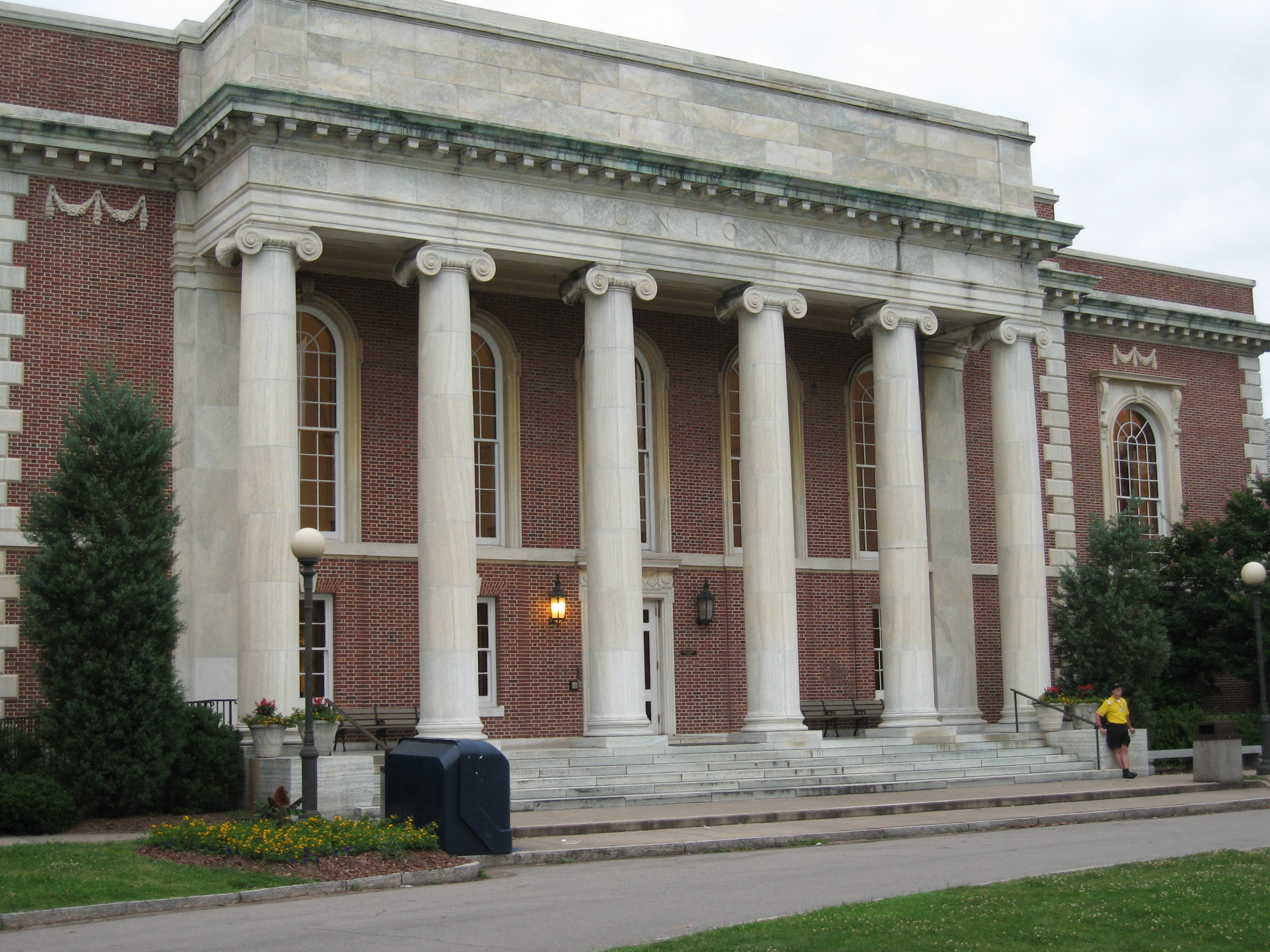
East Campus is part of Duke University's campus in Durham, North Carolina. East Campus, along with West Campus, make up most of Duke's main campus. The campus follows the Georgian architecture style, making it distinct from West Campus. Currently, East Campus is the exclusive residential home to first-year students. It borders Trinity Historic District to the east and Walltown Neighborhood to the north. History The first history of Duke University traces back to its founding in 1838 in Trinity, North Carolina. Much to the dislike of the Methodist preachers, under the leadership of the college's President John F. Crowell, Washington Duke made a donation to the college large enough to build a new campus in Durham, North Carolina and move the college. The new campus was constructed over the course of the last decade of the nineteenth century. In 1911, the Washington Duke Building was destroyed in a fire. The university created the buildings East Duke and West Duke (not to be ... [...More Info...] [...Related Items...] OR: [Wikipedia] [Google] [Baidu] |
Rivers Of North Carolina
This is a list of rivers in the U.S. state of North Carolina. By drainage basin This list is arranged by drainage basin, with respective tributaries alphabetically indented under each larger stream's name. Atlantic Ocean * North Landing River ** Northwest River * North River * Pasquotank River * Little River * Perquimans River * Yeopim River * Chowan River ** Wiccacon River ** Meherrin River *** Potecasi Creek *** Worrell Mill Swamp ****Hares Branch ** Blackwater River ** Nottoway River * Cashie River Roanoke River * Roanoke River ** Dan River *** Aarons Creek **** Crooked Fork *** Hyco River **** Castle Creek **** Storys Creek **** Powells Creek **** Ghent Creek **** Cane Creek **** Sargents Creek **** Hyco Creek ***** Cobbs Creek ***** Kilgore Creek ***** Coneys Creek ***** Panther Branch ***** Lynch Creek ***** Negro Creek **** South Hyco Creek ***** Little Duck Creek ***** Richland Creek ***** Cub Creek ***** Double Creek ***** Sugartree Creek *** Smith ... [...More Info...] [...Related Items...] OR: [Wikipedia] [Google] [Baidu] |
Rivers Of Durham County, North Carolina
A river is a natural flowing watercourse, usually freshwater, flowing towards an ocean, sea, lake or another river. In some cases, a river flows into the ground and becomes dry at the end of its course without reaching another body of water. Small rivers can be referred to using names such as creek, brook, rivulet, and rill. There are no official definitions for the generic term river as applied to geographic features, although in some countries or communities a stream is defined by its size. Many names for small rivers are specific to geographic location; examples are "run" in some parts of the United States, "burn" in Scotland and northeast England, and "beck" in northern England. Sometimes a river is defined as being larger than a creek, but not always: the language is vague. Rivers are part of the water cycle. Water generally collects in a river from precipitation through a drainage basin from surface runoff and other sources such as groundwater recharge, springs, a ... [...More Info...] [...Related Items...] OR: [Wikipedia] [Google] [Baidu] |
Dye Branch
Dye Branch is a small creek that runs from Duke University's East Campus, through the Trinity Heights, Walltown, and Old West Durham neighborhoods of Durham, North Carolina. From its headwaters near the Food Lion grocery store on Hillsborough Road, Dye Branch (also known as South Ellerbe Creek) flows for three miles (5 km) through some of Durham's oldest and most densely developed neighborhoods: Old West Durham, Walltown, Northgate Park, and Trinity Park. South Ellerbe joins Ellerbe Creek in a small forest—just northwest of the I-85/Roxboro Road interchange. Along some wooded stretches, the creek quietly flows over rocks and is as scenic as any in western North Carolina. In other areas, South Ellerbe is a troubled creek. Its history is marred by rampant pollution and devastating abuse. Though community organizations have arisen to advocate on behalf of the small drainage in recent years, future developments pose significant challenges. Natural history The pre-coloni ... [...More Info...] [...Related Items...] OR: [Wikipedia] [Google] [Baidu] |
List Of North Carolina Rivers
This is a list of rivers in the U.S. state of North Carolina. By drainage basin This list is arranged by drainage basin, with respective tributaries alphabetically indented under each larger stream's name. Atlantic Ocean * North Landing River ** Northwest River * North River * Pasquotank River * Little River * Perquimans River * Yeopim River * Chowan River ** Wiccacon River ** Meherrin River *** Potecasi Creek *** Worrell Mill Swamp ****Hares Branch ** Blackwater River ** Nottoway River * Cashie River Roanoke River * Roanoke River ** Dan River *** Aarons Creek **** Crooked Fork *** Hyco River **** Castle Creek **** Storys Creek **** Powells Creek **** Ghent Creek **** Cane Creek **** Sargents Creek **** Hyco Creek ***** Cobbs Creek ***** Kilgore Creek ***** Coneys Creek ***** Panther Branch ***** Lynch Creek ***** Negro Creek **** South Hyco Creek ***** Little Duck Creek ***** Richland Creek ***** Cub Creek ***** Double Creek ***** Sugartree Creek *** ... [...More Info...] [...Related Items...] OR: [Wikipedia] [Google] [Baidu] |
The Triangle (North Carolina)
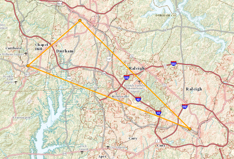
The Research Triangle, or simply The Triangle, are both common nicknames for a metropolitan area in the Piedmont region of North Carolina in the United States, anchored by the cities of Raleigh and Durham and the town of Chapel Hill, home to three major research universities: North Carolina State University, Duke University, and University of North Carolina at Chapel Hill, respectively. The nine-county region, officially named the Raleigh–Durham–Cary combined statistical area (CSA), comprises the Raleigh–Cary and Durham–Chapel Hill Metropolitan Statistical Areas and the Henderson Micropolitan Statistical Area. The "Triangle" name originated in the 1950s with the creation of Research Triangle Park, located between the three anchor cities and home to numerous high tech companies. A 2019 Census estimate put the population at 2,079,687, making it the second largest combined statistical area in the state of North Carolina behind Charlotte CSA. The Raleigh–Durham televi ... [...More Info...] [...Related Items...] OR: [Wikipedia] [Google] [Baidu] |
Falls Lake
Falls Lake is a 12,410 acre (50 km²) reservoir located in Durham, Wake, and Granville counties in North Carolina, United States. Falls Lake extends up the Neuse River to its source at the confluence of the Eno, Little, and Flat rivers. The lake is named for the ''Falls of the Neuse'', a once whitewater section of the river that fell from the Piedmont into the lower Coastal Plain submerged during construction of the lake. The lake provides drinking water for several of the surrounding communities, including the city of Raleigh, aids with flood control and serves as a recreation area and wildlife habitat. Work on the dam that holds the lake began in 1978 and was completed in 1981. Prior to its construction flooding of the Neuse River caused extensive damage to public and private properties including roadways, railroads, industrial sites and farmlands. The U.S. Army Corps of Engineers constructed and manages the dam. Falls Dam () is an earthen structure having a top elev ... [...More Info...] [...Related Items...] OR: [Wikipedia] [Google] [Baidu] |
Northgate Mall (Durham)
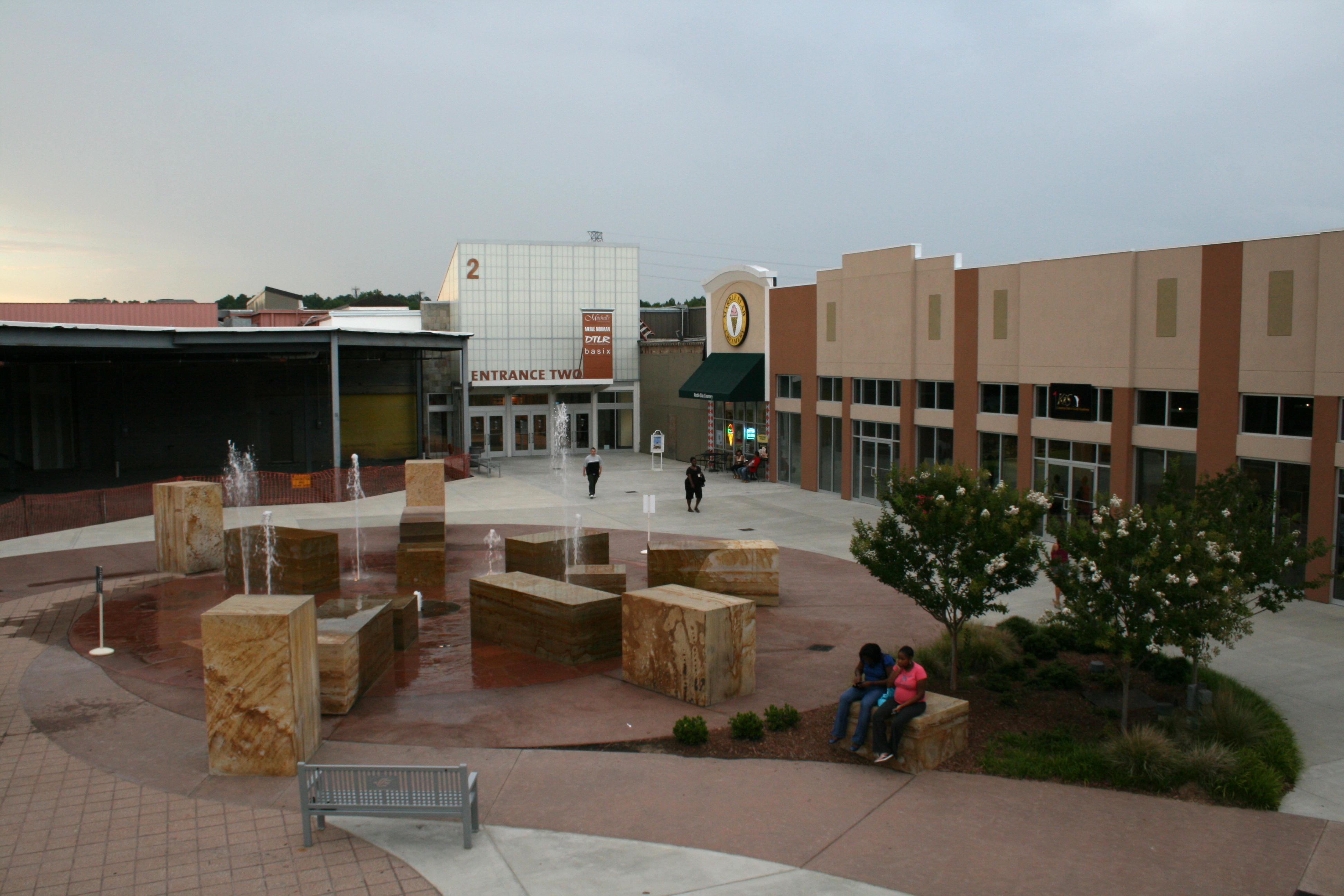
Northgate Mall was a regional shopping mall located off Interstate 85 and Gregson Street (exit 176) in northern Durham, North Carolina, United States. The mall is in close proximity to Duke University and downtown Durham, between the Trinity Park and Walltown neighborhoods. History Early Years Northgate opened in 1960 as a traditional open air strip shopping center developed by W. Kenan Rand. The original center ran perpendicular to W. Club Blvd. Original tenants included Colonial Stores, Roses, Kerr Drug and eventually a cinema opened in 1962. In 1973, facing increased competition from other enclosed shopping centers, developers decided to add a Sears and Thalhimers department store and built an indoor enclosure connecting the two stores. Northgate Mall first expanded in 1986, when Thalhimers relocated to a newer store at the east end of the mall, along with additional shop shape. The following year, a portion of the original shopping center was torn down and a food court wa ... [...More Info...] [...Related Items...] OR: [Wikipedia] [Google] [Baidu] |
Trinity Historic District
Trinity Historic District, also called Trinity Park, is a national historic district and residential area located near the East Campus of Duke University in Durham, North Carolina. The district encompasses 751 contributing buildings in a predominantly residential section of Durham. They were built between the 1890s and 1960 and include notable examples of Queen Anne and Bungalow / American Craftsman style architecture. Located in the district are the separately listed "Faculty Row" cottage: the Bassett House, Cranford-Wannamaker House, Crowell House, and Pegram House. Other notable buildings include the George W. Watts School (1917), Julian S. Carr Junior High School (1922), Durham High School (1923), Durham Alliance Church (1927), Trinity Presbyterian Church (1925), Great A & P Tea Company (1927-1929), Grace Lutheran Church (c. 1950), and the former Greek Orthodox Community Church (c. 1950). It was listed on the National Register of Historic Places in 1986, with a bou ... [...More Info...] [...Related Items...] OR: [Wikipedia] [Google] [Baidu] |

