|
Electorates Of The Australian Capital Territory
From 2016, the 25-member unicameral Australian Capital Territory Legislative Assembly is elected from five multi-member electorates, with five seats per electorate. History Electorate boundaries for Australian Capital Territory Legislative Assembly elections have changed a number of times since the first ACT election in 1989. For the 1989 and 1992 elections, the ACT comprised one electorate, electing seventeen members to the Assembly. Prior to the 1995 ACT general election, three multi-member electorates were established and have remained in place, with boundary and redistribution changes made prior to the 2001 and 2008 ACT general elections. On 30 April 2002, the ACT Electoral Commission made a submission to the ACT Legislative Assembly's Standing Committee on Legal Affairs, which inquired into the appropriateness of the size of the Legislative Assembly for the ACT and options for changing the number of members, electorates and other related matters. The Electoral Commissio ... [...More Info...] [...Related Items...] OR: [Wikipedia] [Google] [Baidu] |
Belconnen
The District of Belconnen () is one of the original eighteen districts of the Australian Capital Territory (ACT), used in land administration. The district is subdivided into 27 divisions (suburbs), sections and blocks. The district of Belconnen is largely composed of Canberra suburbs. As at the , the district had a population of people; and was the most populous district within the Australian Capital Territory (ACT). Belconnen is situated approximately to the north-west of the central business district of Canberra, and surrounds an artificially created, ornamental lake, Lake Ginninderra. Lake Ginninderra was made possible by building a dam at an elbow of Ginninderra Creek. Exiting the lake, via a simple overflow, Ginninderra Creek continues, and runs north-west to its confluence with the Murrumbidgee River just beyond the north-western ACT border. Establishment and governance Following the transfer of land from the Government of New South Wales to the Commonwealth Governme ... [...More Info...] [...Related Items...] OR: [Wikipedia] [Google] [Baidu] |
Weston Creek
The District of Weston Creek is one of the original eighteen districts of the Australian Capital Territory used in land administration. The district is subdivided into divisions (suburbs), sections and blocks. The district of Weston Creek lies entirely within the bounds of the city of Canberra, the capital city of Australia. The district comprises eight residential suburbs, situated to the west of the Woden Valley district and approximately southwest of the Canberra City centre. Situated adjacent to the district was the large Stromlo Forest pine plantation until the forest was destroyed by bushfires in 2001 and 2003. Weston Creek was named in honour of Captain George Edward Weston, a former officer of the East India Company who arrived in Australia in 1829, and was Superintendent of the Hyde Park Convict Barracks in Sydney. In 1841, Weston was granted land in the district now known as Weston Creek. At the , the population of the district was . Establishment and governance F ... [...More Info...] [...Related Items...] OR: [Wikipedia] [Google] [Baidu] |
Molonglo Valley
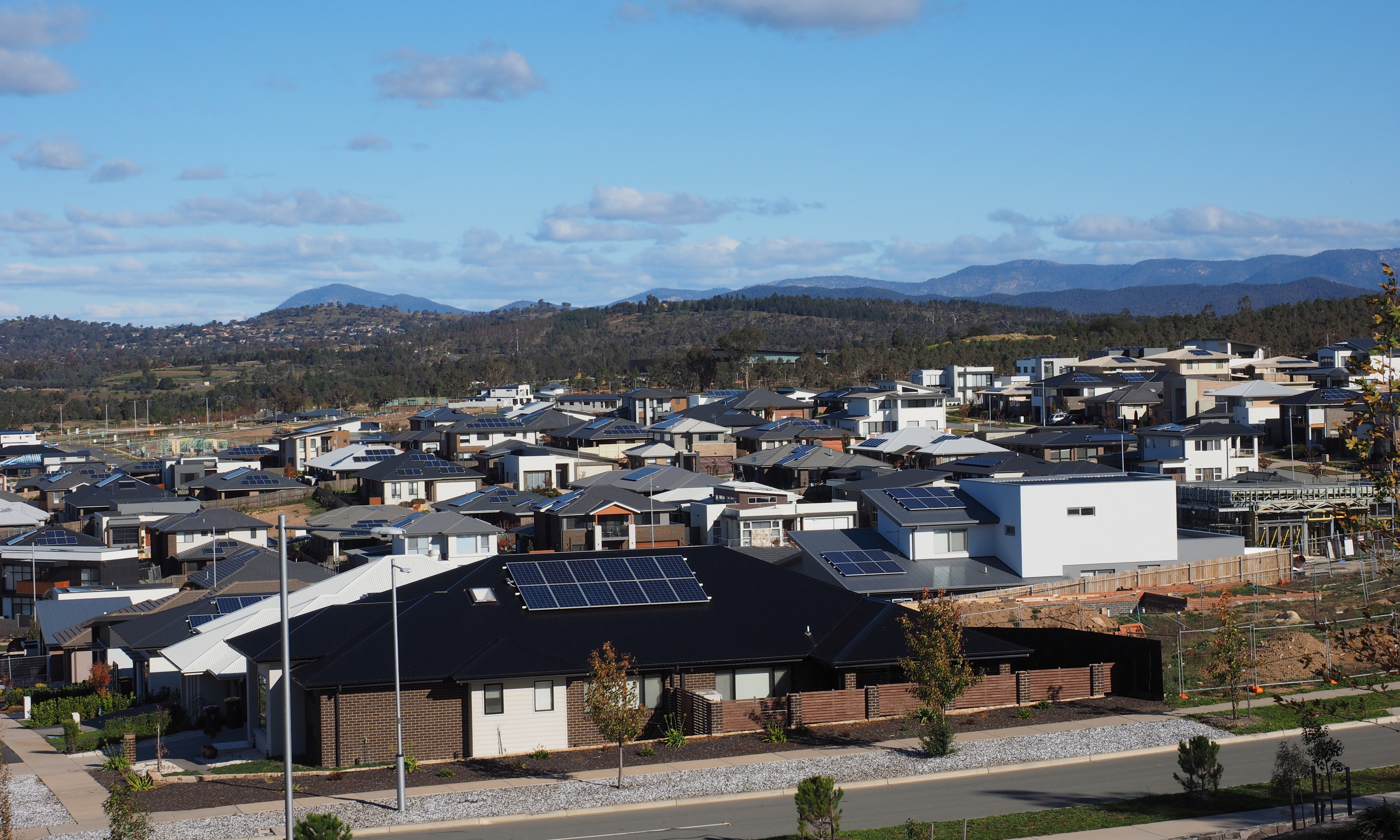
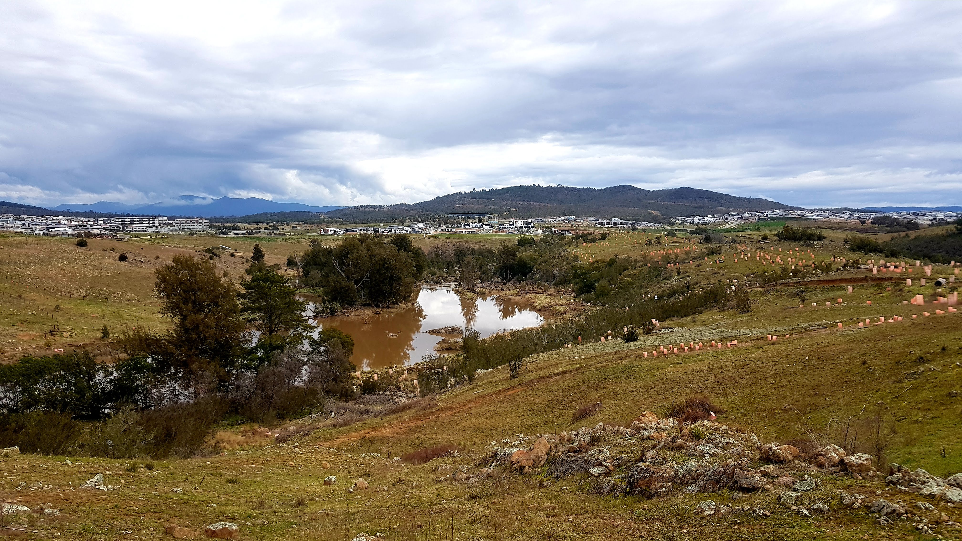
The District of Molonglo Valley is one of the nineteen districts of the Australian Capital Territory used in land administration, and the only district that was not created in 1966. The district is subdivided into divisions (suburbs), sections and blocks and is the newest district of Canberra, the capital city of Australia. The district is planned to consist of thirteen suburbs, planned to contain dwellings, with an expected population of between and . To be developed in three stages over more than ten years, the district will contain a principal town centre and a secondary group centre, with residential suburbs located to the south and north of the Molonglo River; located to the west of Lake Burley Griffin. The name ''Molonglo'' is derived from an Aboriginal expression meaning "the sound of thunder". At the , the population of the district was 11,435, an increase from 4,578 in 2016. Establishment and governance The traditional custodians of the district are the indigenous ... [...More Info...] [...Related Items...] OR: [Wikipedia] [Google] [Baidu] |
Murrumbidgee Electorate
The Murrumbidgee electorate is one of the five electorates for the unicameral 25-member Australian Capital Territory Legislative Assembly. It elected five members at the 2016 ACT election. History Murrumbidgee was created in 2016, when the five-electorate, 25-member Hare-Clark electoral system was first introduced for the Australian Capital Territory (ACT) Legislative Assembly, replacing the previous three-electorate, 17-member system. The electorate is named after the Murrumbidgee River which flows through the electorate, with the word "Murrumbidgee" meaning "big water" in the Aboriginal Wiradjuri language. Location The Murrumbidgee electorate consists of the Woden Valley suburbs of Chifley, Curtin, Farrer, Garran, Hughes, Isaacs, Lyons, Mawson, O'Malley, Pearce, Phillip, Torrens, the Weston Creek suburbs of Chapman, Duffy, Fisher, Holder, Rivett, Stirling, Waramanga, Weston, the Molonglo Valley suburbs of Coombs, Denman Prospect, Whitlam and Wright, the South Canb ... [...More Info...] [...Related Items...] OR: [Wikipedia] [Google] [Baidu] |
Oaks Estate, Australian Capital Territory
Oaks Estate is a township situated immediately on the northern side of the Australian Capital Territory border abutting the township of Queanbeyan in south-eastern New South Wales, Australia. The estate covers an area of approximately 40 hectares and is bound by the Molonglo River to the north, the Queanbeyan River to the east, 'The Oaks' to the west, and the Queanbeyan-Cooma railway to the south. Oaks Estate is located 12 kilometres from the centre of Canberra. The village is also noteworthy as the nucleus of Queanbeyan's industrial development during the second half of the 19th century. Oaks Estate takes its name from 'The Oaks', which was part of Duntroon, Robert Campbell's farming estate.Monaro Consultants & Burnham Planning (2001), ''Oaks Estate Planning Study'', ACT Government This makes Oaks Estate one of only a few place names in the ACT with significant connections to early colonial times. History Colonial Timothy Beard, a pardoned convict and former innkeeper from ... [...More Info...] [...Related Items...] OR: [Wikipedia] [Google] [Baidu] |
South Canberra
South Canberra, or the Inner South, is a central district of Canberra, the capital city of Australia. South Canberra is located to the south of Canberra's City Centre, Australian Capital Territory, city centre and is on the south bank of Lake Burley Griffin. It is one of the oldest parts of Canberra and is built in part in accordance to Walter Burley Griffin's designs. Unlike the later districts in Canberra that are built as separate satellite cities, South Canberra is only separated from North Canberra only by Lake Burley Griffin. The two districts combined form the district of Central Canberra and share City Centre, Australian Capital Territory, Civic as their central commercial area. According to the , South Canberra's population was 31,592. Places of note * Australia's Parliament House, Canberra, Parliament House on Capital Hill, Australian Capital Territory, Capital Hill. * Parkes, Australian Capital Territory, Parkes contains the Parliamentary Triangle area. * Governmen ... [...More Info...] [...Related Items...] OR: [Wikipedia] [Google] [Baidu] |
North Canberra
North Canberra, also known as the Inner North, is a district of Canberra, the capital city of Australia, comprising 14 suburbs. At the , it had 26,699 dwellings housing 61,188 people of the 453,324 people in the Australian Capital Territory. Many of Canberra's oldest dwellings are in this district. North Canberra is located from the north and east of Canberra's City, to the north of Lake Burley Griffin and west of Mount Majura and south of Mount Ainslie, and is bounded to the north by the Barton Highway and Federal Highway. It is one of the oldest parts of Canberra and is built in part in accordance to Griffin's designs. Places of note and interest * Civic is the major shopping and office precinct in Canberra. * Russell has the main headquarters of the Australian Defence Force. * The Australian National University has its campus in the suburb of Acton and the Australian Defence Force Academy and Royal Military College, Duntroon are in the suburb of Campbell. * The Australi ... [...More Info...] [...Related Items...] OR: [Wikipedia] [Google] [Baidu] |
Kurrajong Electorate
The Kurrajong electorate is one of the five electorates for the unicameral 25-member Australian Capital Territory Legislative Assembly. It elected five members at the 2016 ACT election. History Kurrajong was created in 2016, when the five-electorate, 25-member Hare-Clark electoral system was first introduced for the Australian Capital Territory (ACT) Legislative Assembly, replacing the previous three-electorate, 17-member system. The name "Kurrajong" is derived from an Aboriginal word for the tree (''Brachychiton populneus'', meaning "shade tree", and also Kurrajong Hill, the name early settlers used for Capital Hill, the location of Parliament House. Location The Kurrajong electorate currently comprises the majority of the district of Canberra Central, including the suburbs of Acton, Ainslie, Barton, Braddon, Campbell, Civic, Dickson, Downer, Forrest, Griffith, Hackett, Kingston, Lyneham, Narrabundah, O'Connor, Red Hill, Reid, Turner, Watson, and the entirety ... [...More Info...] [...Related Items...] OR: [Wikipedia] [Google] [Baidu] |
Molonglo River
The Molonglo River, a perennial river that is part of the Murrumbidgee catchment within the Murray–Darling basin, is located in the Monaro and Capital Country regions of New South Wales and the Australian Capital Territory, in Australia. Location and features The river rises on the western side of the Great Dividing Range, in Tallaganda State Forest at and flows generally from south to north before turning northwest, through Carwoola and the outskirts of Queanbeyan, where it has confluence with its major tributary, the Queanbeyan River, and then continues through Canberra, where it has been dammed by the Scrivener Dam to form Lake Burley Griffin. The river then flows to its mouth with the Murrumbidgee River, near Uriarra Crossing. Over its course the Molonglo River alternates between long broad floodplains and narrow rocky gorges several times. One of these floodplains is called the Molonglo Plain. From source to mouth, the river is traversed by the Captains Flat Road at ... [...More Info...] [...Related Items...] OR: [Wikipedia] [Google] [Baidu] |
McKellar, Australian Capital Territory
McKellar () is a residential suburb in the Belconnen district of Canberra, located within the Australian Capital Territory, Australia. The suburb is named after Colin McKellar who was Minister for Repatriation from 1964 to 1970. The suburb name was gazetted on 15 January 1974. The streets of McKellar are named for journalists with the main street of the suburb called Dumas Street. McKellar is bounded by Ginninderra Drive, William Webb Drive, Owen Dixon Drive, and Gundaroo Drive. Suburb features McKellar features the McKellar Oval in the centre of the suburb, known as William Palmer Park, and has panoramic prospect from Mount Ainslie to Black Mountain and Mount Majura. A small football stadium known as McKellar Park, and club are in the north east of the suburb. The McKellar shopping centre closed in 2012 and was later demolished, with only a single smaller commercial building remaining. McKellar Preschool closed in 2006, with the building later reopened as a privately run c ... [...More Info...] [...Related Items...] OR: [Wikipedia] [Google] [Baidu] |
Lawson, Australian Capital Territory
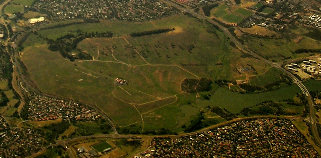
Lawson (postcode: 2617) is a suburb in the Belconnen district of Canberra, located within the Australian Capital Territory, Australia. The suburb is surrounded by Baldwin Drive, Gundaroo Drive and Ginninderra Drive. It lies next to the suburbs of McKellar, Giralang, Kaleen, Bruce and Belconnen. Two intersections were built in 2012 that lead into the suburb's grasslands, prepared for future development on the suburb, one leading off Ginninderra Drive, and another off Baldwin Drive. However, neither intersection continued on further than a few metres. Development was delayed by about two years by Commonwealth environmental clearance processes due to the presence of golden sun moth and native grassland. Construction of roads have commenced and the first residential land was sold on 3 December 2013. The suburb derives its name from Henry Lawson, short story writer and poet. The streets in Lawson are named after aspects of Australia appearing in his writing. A bicycle path runs alo ... [...More Info...] [...Related Items...] OR: [Wikipedia] [Google] [Baidu] |


