|
El Progreso (department)
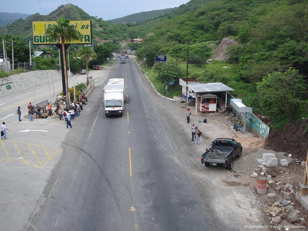
El Progreso () is a department in Guatemala. The departmental capital is Guastatoya. The Spanish established themselves in the region by 1551, after the Spanish conquest of Guatemala. El Progreso was declared a department in 1908, but was dissolved in 1920 before being reestablished in 1934. Guastatoya was badly affected by the 1976 Guatemala earthquake. The department is located in northeastern Guatemala. It is bordered by the departments of Alta Verapaz, Baja Verapaz, Guatemala, Jalapa, and Zacapa. The department occupies an intermediate zone between the hot lowlands and the cooler Guatemalan Highlands, and has a generally hot climate. The most important river is the Motagua. To the north, the department is crossed by the Sierra de las Minas mountain range. The main population centres in El Progreso are Guastatoya, Sanarate and San Agustín Acasaguastlán. The department is crossed by the CA-9 Atlantic Highway, linking it with Guatemala City and the Atlantic port of Puerto B ... [...More Info...] [...Related Items...] OR: [Wikipedia] [Google] [Baidu] |
Departments Of Guatemala
Guatemala is divided into 22 Department (country subdivision), departments (Spanish language, Spanish: ''departamentos'') which are in turn divided into 340 Municipalities of Guatemala, municipalities. In addition, Guatemala has claimed that all or part of the nation of Belize is a department of Guatemala, and this claim is sometimes reflected in maps of the region. Guatemala formally recognized Belize in 1991, but the Belizean–Guatemalan territorial dispute, border disputes between the two nations have not been resolved. Departments See also *ISO 3166-2:GT References External resources Interactive map of Guatemalan departments and municipalities {{Americas topic, Administrative divisions of Departments of Guatemala, Subdivisions of Guatemala Lists of administrative divisions, Guatemala, Departments Administrative divisions in North America, Guatemala 1 First-level admin ... [...More Info...] [...Related Items...] OR: [Wikipedia] [Google] [Baidu] |
Motagua River
The Motagua River () is a river in Guatemala. It rises in the western highlands of Guatemala where it is also called Río Grande, and runs in an easterly direction to the Gulf of Honduras. The final few kilometres of the river form part of the Guatemala–Honduras border. The Motagua River basin covers an area of and is the largest in Guatemala. The Motagua River is believed to be the number one most plastic-emitting river in the world, contributing around two per cent of global plastic pollution emissions into the world's oceans annually. Overview The river runs in a valley that has the only known source of jadeitite (jade) in Mesoamerica, and was an important commerce route during the Pre-Columbian era. The important Maya site of Quirigua is near the river's north bank, as are several smaller sites with jade quarries and workshops. The Motagua river valley also marks the Motagua Fault, the tectonic boundary between the North American and the Caribbean Plates. The Motag ... [...More Info...] [...Related Items...] OR: [Wikipedia] [Google] [Baidu] |
Nahuatl Dialects
The Nahuan or Aztecan languages are those languages of the Uto-Aztecan language family that have undergone a sound change, known as Whorf's law, that changed an original *t to before *a. Subsequently, some Nahuan languages have changed this to or back to , but it can still be seen that the language went through a stage. The best known Nahuan language is Nahuatl. Nahuatl is spoken by about 1.7 million Nahua peoples. Some authorities, such as the Mexican government, ''Ethnologue,'' and ''Glottolog,'' consider the varieties of modern Nahuatl to be distinct languages, because they are often mutually unintelligible and their speakers have distinct ethnic identities. As of 2008, the Mexican government recognizes thirty varieties that are spoken in Mexico as languages (see the list below). Researchers distinguish between several dialect areas that each have a number of shared features: One classification scheme distinguishes innovative central dialects, spoken around Mexico City, ... [...More Info...] [...Related Items...] OR: [Wikipedia] [Google] [Baidu] |
Dominican Order
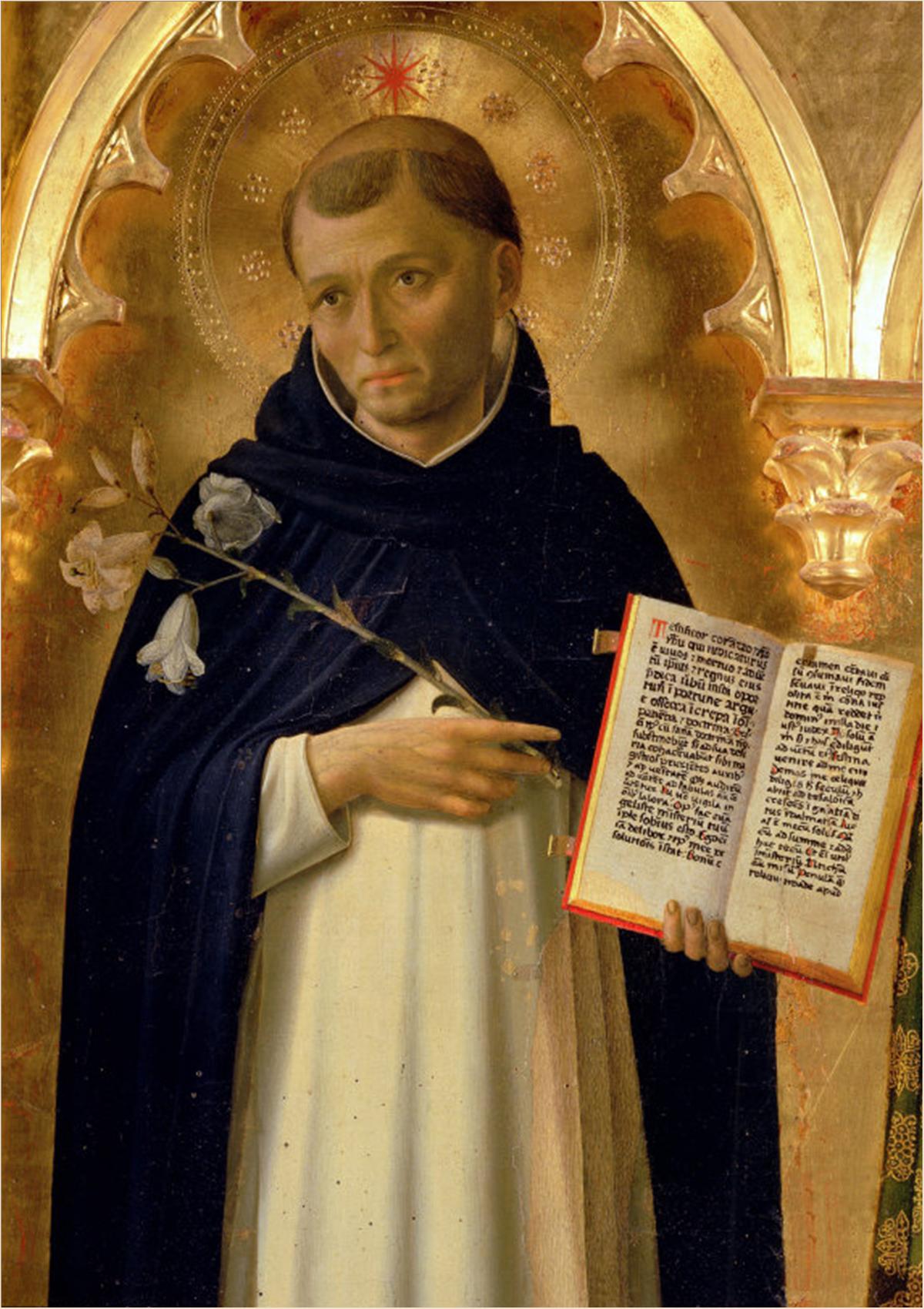
The Order of Preachers ( la, Ordo Praedicatorum) abbreviated OP, also known as the Dominicans, is a Catholic mendicant order of Pontifical Right for men founded in Toulouse, France, by the Spanish priest, saint and mystic Dominic of Caleruega. It was approved by Pope Honorius III via the papal bull ''Religiosam vitam'' on 22 December 1216. Members of the order, who are referred to as ''Dominicans'', generally carry the letters ''OP'' after their names, standing for ''Ordinis Praedicatorum'', meaning ''of the Order of Preachers''. Membership in the order includes friars, nuns, active sisters, and lay or secular Dominicans (formerly known as tertiaries). More recently there has been a growing number of associates of the religious sisters who are unrelated to the tertiaries. Founded to preach the Gospel and to oppose heresy, the teaching activity of the order and its scholastic organisation placed the Preachers in the forefront of the intellectual life of the Middle Ag ... [...More Info...] [...Related Items...] OR: [Wikipedia] [Google] [Baidu] |
San Cristóbal Acasaguastlán
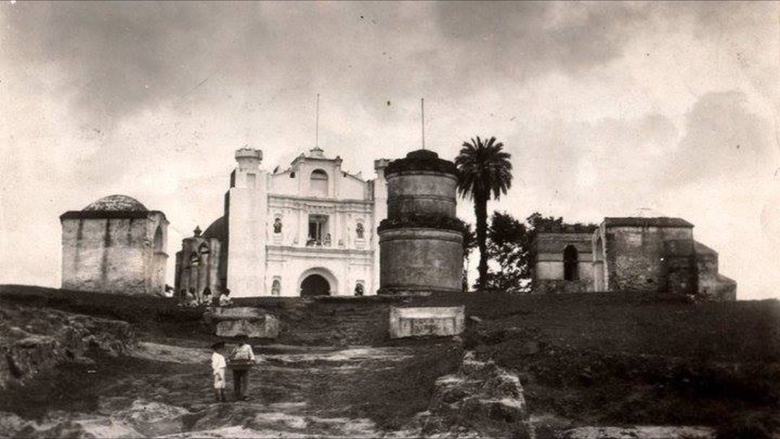
San Cristóbal Acasaguastlán () is a town in the El Progreso department of Guatemala. San Cristóbal Acasaguastlán is located on the northern bank of the Motagua River at an altitude of 250 m. It had a population of 6,129 people at the 2002 census, and covers a territory of . Municipality of San Cristóbal Acasaguastlán. San Cristóbal Acasaguastlán borders on San Agustín Acasaguastlán to the northwest, to the east, and El Jicaro to the sou ... [...More Info...] [...Related Items...] OR: [Wikipedia] [Google] [Baidu] |
Corregimiento
''Corregimiento'' (; ca, Corregiment, ) is a Spanish term used for country subdivisions for royal administrative purposes, ensuring districts were under crown control as opposed to local elites. A ''corregimiento'' was usually headed by a '' corregidor''. Historical corregimientos ''Corregimientos'' were found historically in the Kingdom of Castile, the Kingdom of Aragon, and the Spanish West Indies. Castile In Old Castile ''corregimientos'' existed since the 13th century and were the administrative divisions of the ''Junta General de las Siete Merindades de Castilla Vieja''. After the Nueva Planta decrees under the rule of Philip V—the first Bourbon king of Spain, the ''corregidor'' was replaced by an intendant. ''Corregimientos'' in Castile existed until 1835, the year in which the municipal administration was reorganized under Queen Isabel II. Crown of Aragon In the territories of Aragon, Catalonia, and the Land of Valencia formerly under the ancient Crown of Aragon, the ... [...More Info...] [...Related Items...] OR: [Wikipedia] [Google] [Baidu] |
Crescentia Alata
''Crescentia alata'', variously called Mexican calabash, jícaro, morro, morrito, or winged calabash, is a plant species in the family Bignoniaceae and in the genus ''Crescentia'', native to southern Mexico and Central America south to Costa Rica. Description It is a small tree growing to 8 m tall. It has hard, cannonball-like fruit 7–10 cm diameter, that are difficult to break into. It is believed that these fruit characteristics evolved as a defense mechanism against seed predation by long-dead megafauna of the region. However, now it seems to be a counter-productive strategy (an evolutionary anachronism), as the seeds inside the fruits cannot germinate unless the shells are broken open, and with the exception of horses and humans, no animals currently living in its native range can break open the fruits. It has been observed that domestic horses may smash the fruit with their hooves and eat the pulp and seeds (suggesting that they may serve as seed distribution vector ... [...More Info...] [...Related Items...] OR: [Wikipedia] [Google] [Baidu] |
Nahuatl Language
Nahuatl (; ), Aztec, or Mexicano is a language or, by some definitions, a group of languages of the Uto-Aztecan languages, Uto-Aztecan language family. Varieties of Nahuatl are spoken by about Nahuas, Nahua peoples, most of whom live mainly in Central Mexico and have smaller populations Nahuatl language in the United States, in the United States. Nahuatl has been spoken in central Mexico since at least the seventh century CE. It was the language of the Aztecs, Aztec/Mexica, who dominated what is now central Mexico during the Late Postclassic period of Mesoamerican chronology, Mesoamerican history. During the centuries preceding the Spanish conquest of the Aztec Empire, Spanish and Tlaxcalan conquest of the Aztec Empire, the Aztecs had expanded to incorporate a large part of central Mexico. Their influence caused the variety of Nahuatl spoken by the residents of Tenochtitlan to become a prestige dialect, prestige language in Mesoamerica. After the conquest, when Spanish colonist ... [...More Info...] [...Related Items...] OR: [Wikipedia] [Google] [Baidu] |
Ladino People
The Ladino people are a mix of mestizo or Hispanicized peoplesLadino' en el Diccionario de la Real Academia Española (DRAE) in Latin America, principally in Central America. The demonym ''Ladino'' is a Spanish word that is related to ''Latino''. ''Ladino'' is an exonym initially used during the colonial era to refer to those Spanish-speakers who were not Peninsulares, Criollos or indigenous peoples. Guatemala The Ladino population in Guatemala is officially recognized as a distinct ethnic group, and the Ministry of Education of Guatemala uses the following definition: "The ladino population has been characterized as a heterogeneous population which expresses itself in the Spanish language as a maternal language, which possesses specific cultural traits of Hispanic origin mixed with indigenous cultural elements, and dresses in a style commonly considered as western."The population censuses include the ladino population as one of the different ethnic groups in Guatemala. I ... [...More Info...] [...Related Items...] OR: [Wikipedia] [Google] [Baidu] |
Puerto Barrios
Puerto Barrios () is a city in Guatemala, located within the Gulf of Honduras. The city is located on Bahia de Amatique. Puerto Barrios is the departmental seat of Izabal department and is the administrative seat of Puerto Barrios municipality. It is Guatemala's main Caribbean Sea port, together with its more modern twin port town just to the southwest, Santo Tomás de Castilla. As of the 2018 census the population of Puerto Barrios was 100,593. Puerto Barrios is located northeast of Guatemala City. It is the terminus of Highway CA9 which begins at the Pacific port city of Puerto San José and traverses the country through Guatemala City. The city's population is a mix of mostly Garifuna, Maya, Afro-Caribbean (such as Afro-Jamaicans), and other West Indian groups. Its heyday was in the latter 19th and early 20th centuries, following the construction of a railroad connecting large banana and coffee plantations with the shipping docks, all controlled by the International Railways ... [...More Info...] [...Related Items...] OR: [Wikipedia] [Google] [Baidu] |
Guatemala City
Guatemala City ( es, Ciudad de Guatemala), known locally as Guatemala or Guate, is the capital and largest city of Guatemala, and the most populous urban area in Central America. The city is located in the south-central part of the country, nestled in a mountain valley called Valle de la Ermita ( en, Hermitage Valley). The city is the capital of the Municipality of Guatemala and of the Guatemala Department. Guatemala City is the site of the Mayan city of Kaminaljuyu, founded around 1500 BC. Following the Spanish conquest, a new town was established, and in 1776 it was made capital of the Kingdom of Guatemala. In 1821, Guatemala City was the scene of the declaration of independence of Central America from Spain, after which it became the capital of the newly established United Provinces of Central America (later the Federal Republic of Central America). In 1847, Guatemala declared itself an independent republic, with Guatemala City as its capital. The city was originally located ... [...More Info...] [...Related Items...] OR: [Wikipedia] [Google] [Baidu] |


