|
El Embrujo Airport
El Embrujo Airport is an airport serving Providencia Island, Colombia. The airport is located in the north east side of the island, in the limits of the Old Providence McBean Lagoon National Natural Park. The runway is on the eastern edge of the island, with high terrain to the west. Runway 17 has a displaced threshold. History The airport was built in the 1970s, with small aircraft serving sporadic trips between San Andrés and Providencia Island. Prior to 1984, the airport had limited traffic from San Andrés Airport due to its short runway. Under Governor Gonzales, architect Ricardo Gonzalez Farah lengthened the runway by and rebuilt the passenger terminal in typical Caribbean architecture. After the upgrades, SAM Colombia began flights from San Andrés. Later, the airport was again refurbished, with improved air terminal facilities. Airlines and destinations Transportation Taxi Taxis are available at the airport meeting incoming planes. All taxis charge the same ra ... [...More Info...] [...Related Items...] OR: [Wikipedia] [Google] [Baidu] |
Providencia Island
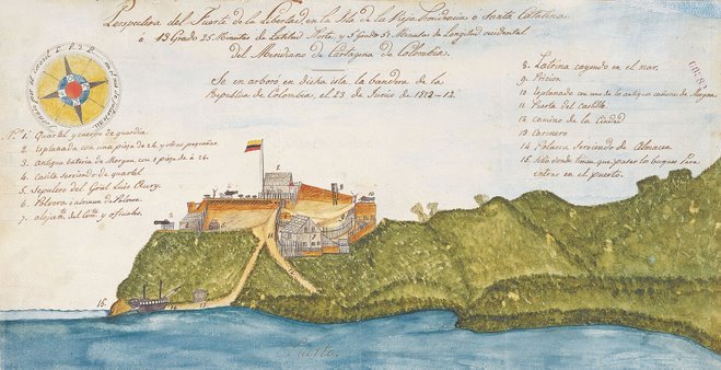
Isla de Providencia, historically Old Providence, and generally known as Providencia, is a mountainous Caribbean island that is part of the Colombian department of Archipelago of San Andrés, Providencia and Santa Catalina and the municipality of Providencia and Santa Catalina Islands, lying midway between Costa Rica and Jamaica. Providencia's maximum elevation is above sea level. The smaller Santa Catalina Island to the northwest is connected by a footbridge to its larger sister Providencia Island. Providencia Island has an area of ; the two islands cover an area of and form the municipality of Santa Isabel, which had a population of 4,927 at the Census of 2005. The island is served by El Embrujo Airport, which the Colombian Government plans to expand in order to take international flights. The island was the site of an English Puritan colony established in 1629 by the Providence Island Company, and was taken by Spain in 1641. The pirate Henry Morgan used Providencia as a ... [...More Info...] [...Related Items...] OR: [Wikipedia] [Google] [Baidu] |
Colombia
Colombia (, ; ), officially the Republic of Colombia, is a country in South America with insular regions in North America—near Nicaragua's Caribbean coast—as well as in the Pacific Ocean. The Colombian mainland is bordered by the Caribbean Sea to the north, Venezuela to the east and northeast, Brazil to the southeast, Ecuador and Peru to the south and southwest, the Pacific Ocean to the west, and Panama to the northwest. Colombia is divided into 32 departments and the Capital District of Bogotá, the country's largest city. It covers an area of 1,141,748 square kilometers (440,831 sq mi), and has a population of 52 million. Colombia's cultural heritage—including language, religion, cuisine, and art—reflects its history as a Spanish colony, fusing cultural elements brought by immigration from Europe and the Middle East, with those brought by enslaved Africans, as well as with those of the various Amerindian civilizations that predate colonization. Spanish is th ... [...More Info...] [...Related Items...] OR: [Wikipedia] [Google] [Baidu] |
Old Providence McBean Lagoon National Natural Park
The Old Providence McBean Lagoon National Natural Park ( es, Parque Nacional Natural Old Providence McBean Lagoon) is a national park located on the northeast side of Providencia Island in the Archipelago of San Andrés, Providencia and Santa Catalina, Colombia. It is one of three national parks in the Colombian Caribbean with coral reefs on its territories, the other two being Tayrona and Rosario and San Bernardo Corals. General The area covers (of which 9.05 are maritime) and was declared a national park 1995, partly as a social defense against increased human activity in the form of time-sharing that would destroy a significant part of the area's mangroves. The park contains different ecosystems, such as mangrove forests, coral formations, beds of marine grasses, and a small area of tropical dry forest. Due to the colorful coral reefs, the Providencia Island is also known as "The Sea of Seven Colors" ( es, El Mar de los Siete Colores). Crab Caye and the Three Brothers Caye ... [...More Info...] [...Related Items...] OR: [Wikipedia] [Google] [Baidu] |
Displaced Threshold
A displaced threshold or DTHR is a runway threshold located at a point other than the physical beginning or end of the runway. The portion of the runway behind a displaced threshold may be used for takeoff in either direction and landings from the opposite direction. After landing at the other end, the landing aircraft may use the area behind the displaced threshold for roll out.Aircraft Information Manual 2013, Chapter 2-3-3 h (2) Section 3. Airport Marking Aids and Signs /ref> Most often, the offset threshold is in place to give arriving aircraft clearance over an obstruction, while still allowi ... [...More Info...] [...Related Items...] OR: [Wikipedia] [Google] [Baidu] |
San Andrés (island)
, native_name_lang = icr , sobriquet = , image_name = San Andres Island Montage.jpg , image_size = 300px , image_caption = Top to bottom, left to right: A typical San Andrés house, San Andrés Skyline, Johnny Cay, Spratt Bight Beach, First Baptist Church and the Sunrise Hotel , image_alt = , map_image = San Andres Island.png , map_caption = , location = , pushpin_map = Colombia Isla de San Andrés#Colombia#Caribbean , pushpin_label = , pushpin_label_position = left , pushpin_map_alt = , pushpin_relief = 1 , pushpin_map_caption = , coordinates = , archipelago = , total_islands = , major_islands = San Andrés, Providence and Saint Catherine , are ... [...More Info...] [...Related Items...] OR: [Wikipedia] [Google] [Baidu] |
Gustavo Rojas Pinilla International Airport
Gustavo Rojas Pinilla International Airport (IATA: ADZ, ICAO: SKSP) (formerly Sesquicentenario Airport) is the main airport in the archipelago of San Andrés, Providencia and Santa Catalina, one of the departments of Colombia. It is able to receive large aircraft and to accommodate seasonal and charter flights from different parts of the Americas and Europe. History The air terminal was renamed in honor of General Gustavo Rojas Pinilla (1900–1975), former president of Colombia, who ordered the airport built in the mid-1950s in order to link the Caribbean island with the continental territory of Colombia. The original name of the airport was Sesquicentenario Airport. Description The airport is the sixth busiest airport in Colombia in terms of passengers, with 2,431,766 in 2019. Most of these passengers come from the continental part of the country, due to poor international direct service to the island. Many international tourists have to fly to one of Colombia's or Panama' ... [...More Info...] [...Related Items...] OR: [Wikipedia] [Google] [Baidu] |
SAM Colombia
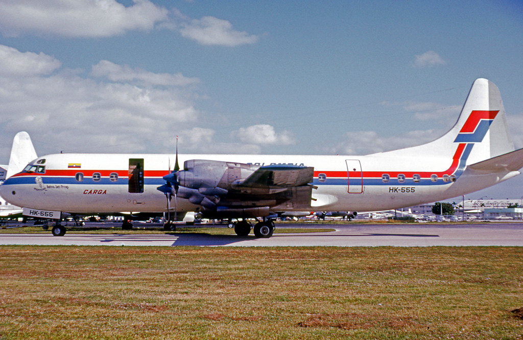
SAM (Spanish acronym: ''Sociedad Aeronáutica de Medellín'') was a Colombian airline. With its main hub at El Dorado International Airport in Bogotá, SAM operated domestic and international routes and was a subsidiary of Avianca. In 2004, its headquarters were in the Avianca headquarters in Bogotá. History Early operations In the 1940s, a group of entrepreneurs promoted the idea of providing the city of Medellín with an air transportation system that would connect with the rest of the country and the world. In October 1945, at the 3rd Notary Public's Office, a deed incorporating ''Sociedad Aeronáutica de Medellín S.A.'' was recorded. The airline was in the minds of its first partners and promoters, who from the beginning of 1946 began to bring their dream to fruition. The company had originally intended to acquire small aircraft, but the concept changed and grew. The airline would acquire long-range aircraft to secure the cargo market to and from Miami. The airline's fir ... [...More Info...] [...Related Items...] OR: [Wikipedia] [Google] [Baidu] |
Transport In Colombia
Transport in Colombia is regulated by the Ministry of Transport. Road travel is the main means of transport; 69 percent of cargo is transported by road, as compared with 27 percent by railroad, 3 percent by internal waterways, and 1 percent by air.Colombia country profile (February 2007). ''This article incorporates text from this source, which is in the .'' ...
|
List Of Airports In Colombia
This is a list of airports in Colombia, grouped by type and sorted by location. __TOC__ Airports Airport names shown in bold indicate the airport has scheduled service on commercial airlines. Notes * The served town of Chía is located in Cundinamarca Department, but the airport lies in the Capital District of Bogotá. * The served town of Girardot is located in Cundinamarca Department, but the airport lies in the Tolima Department. References * * World Aero Data: Airports in ColombiaGreat Circle Mapper: Airports in Colombia See also * Colombian Air Force (''Fuerza Aérea Colombiana'') * Transport in Colombia * List of airports by ICAO code: S#SK - Colombia * Wikipedia: WikiProject Aviation/Airline destination lists: South America#Colombia {{Colombia topics, state=autocollapse Colombia Airports Airports Colombia Colombia (, ; ), officially the Republic of Colombia, is a country in South America with insular regions in North America—near Ni ... [...More Info...] [...Related Items...] OR: [Wikipedia] [Google] [Baidu] |
Airports In Colombia
This is a list of airports in Colombia, grouped by type and sorted by location. __TOC__ Airports Airport names shown in bold indicate the airport has scheduled service on commercial airlines. Notes * The served town of Chía is located in Cundinamarca Department, but the airport lies in the Capital District of Bogotá. * The served town of Girardot is located in Cundinamarca Department, but the airport lies in the Tolima Department. References * * World Aero Data: Airports in ColombiaGreat Circle Mapper: Airports in Colombia See also * Colombian Air Force (''Fuerza Aérea Colombiana'') * Transport in Colombia * List of airports by ICAO code: S#SK - Colombia * Wikipedia: WikiProject Aviation/Airline destination lists: South America#Colombia {{Colombia topics, state=autocollapse Colombia Airports Airports Colombia Colombia (, ; ), officially the Republic of Colombia, is a country in South America with insular regions in North America—near Ni ... [...More Info...] [...Related Items...] OR: [Wikipedia] [Google] [Baidu] |
Buildings And Structures In The Archipelago Of San Andrés, Providencia And Santa Catalina
A building, or edifice, is an enclosed structure with a roof and walls standing more or less permanently in one place, such as a house or factory (although there's also portable buildings). Buildings come in a variety of sizes, shapes, and functions, and have been adapted throughout history for a wide number of factors, from building materials available, to weather conditions, land prices, ground conditions, specific uses, prestige, and aesthetic reasons. To better understand the term ''building'' compare the list of nonbuilding structures. Buildings serve several societal needs – primarily as shelter from weather, security, living space, privacy, to store belongings, and to comfortably live and work. A building as a shelter represents a physical division of the human habitat (a place of comfort and safety) and the ''outside'' (a place that at times may be harsh and harmful). Ever since the first cave paintings, buildings have also become objects or canvasses of much artistic ... [...More Info...] [...Related Items...] OR: [Wikipedia] [Google] [Baidu] |


