|
Eilean Mhealasta
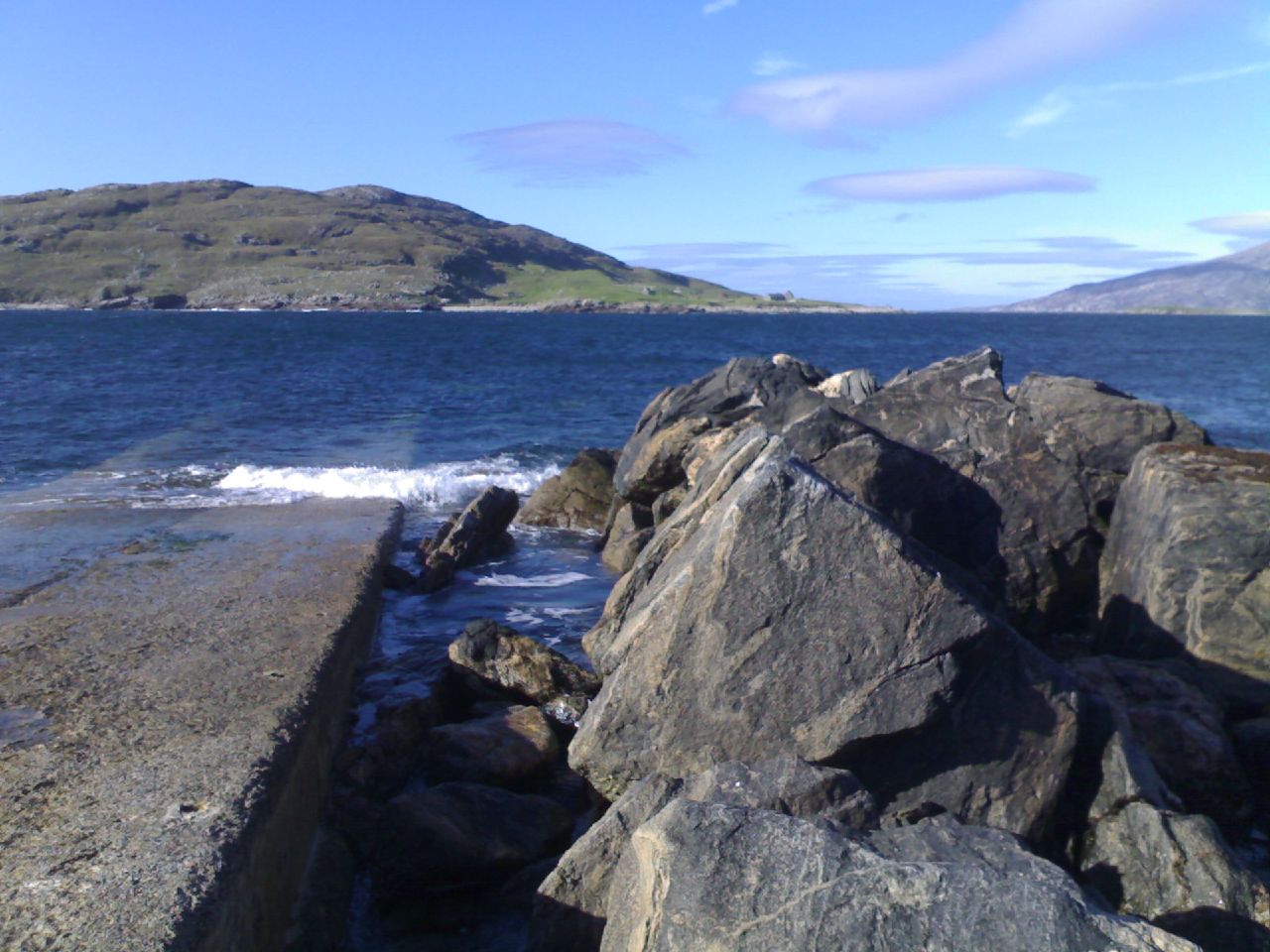
Eilean Mhealasta (Mealista Island) is an uninhabited island off the west coast of Isle of Lewis, Lewis in the Outer Hebrides of Scotland. It takes its name from Mealista, a nearby township on Lewis. History Nearby Mealista had a shrine to St Catan, but it is not known if the island itself had a Culdee settlement. The ruins of old buildings of a previous community can still be seen. In 1823 the island was incorporated into a sheep farm. Thereafter no permanent inhabitants were recorded. A folk myth says that anyone born on Eilean Mhealasta will grow up to be an idiot. Haswell-Smith suggests that the landlords started this rumour to encourage residents to leave. In the 1861 census, it was recorded that some sailors from Rosehearty were camping there. In about 1785 a boat from Mealista carrying a cargo of timber took shelter from a gale at the southernmost point of the Pairc. Nothing more was heard of the crew and on Mealista they were given up as lost at sea. During the following s ... [...More Info...] [...Related Items...] OR: [Wikipedia] [Google] [Baidu] |
Lewis And Harris
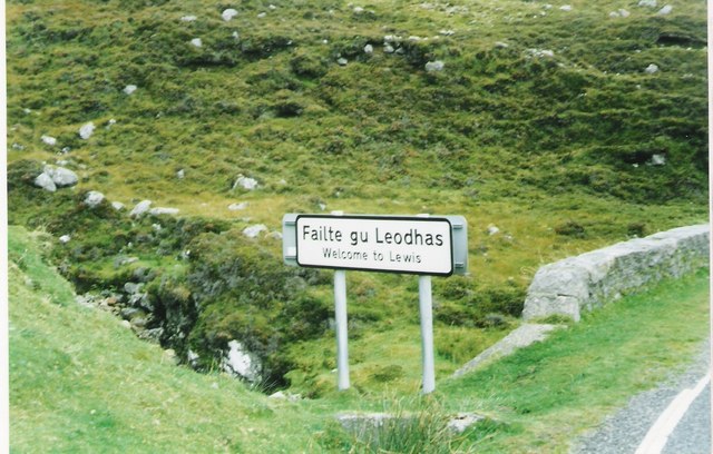
Lewis and Harris ( gd, Leòdhas agus na Hearadh, sco, Lewis an Harris), or Lewis with Harris, is a single Scottish island in the Outer Hebrides, divided by mountains. It is the largest island in Scotland and the third largest in the British Isles, after Great Britain and the island of Ireland, with an area of , which is approximately 1% of the area of Great Britain. The northern two-thirds is called Lewis and the southern third Harris; each is frequently referred to as if it were a separate island. Etymology The island does not have a one-word name in either English or Scottish Gaelic, and is referred to as "Lewis and Harris", "Lewis with Harris", "Harris with Lewis" etc. Rarely used is the collective name of "the Long Island" ( gd, an t-Eilean Fada), although that epithet is sometimes applied to the entire archipelago of the Outer Hebrides, including the Uist group of islands and Barra. Geography Lewis–Harris boundary The boundary between Lewis and Harris runs fo ... [...More Info...] [...Related Items...] OR: [Wikipedia] [Google] [Baidu] |
Stornoway
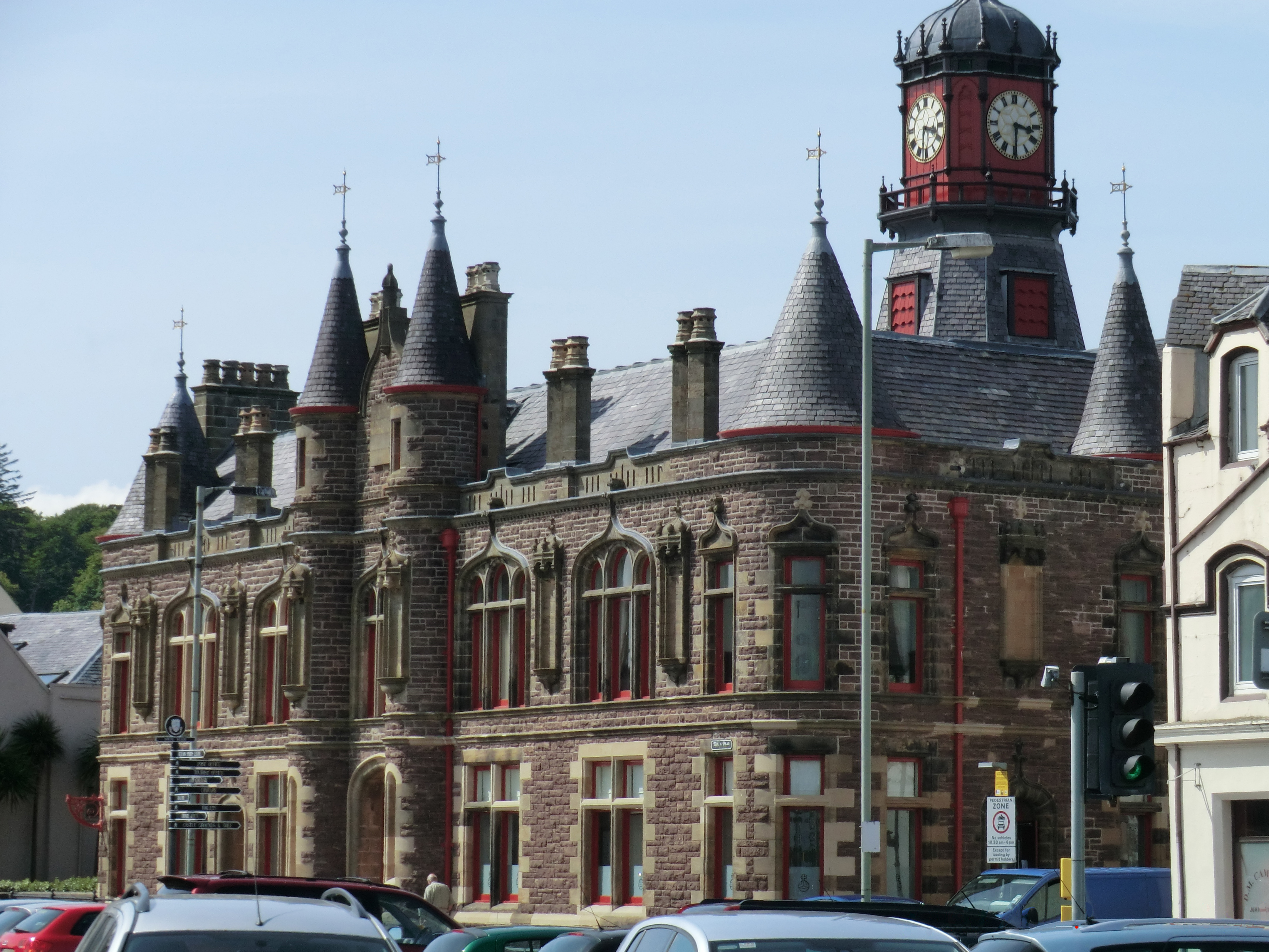
Stornoway (; gd, Steòrnabhagh; sco, Stornowa) is the main town of the Western Isles and the capital of Lewis and Harris in Scotland. The town's population is around 6,953, making it by far the largest town in the Outer Hebrides, as well as the third largest island town in Scotland after Kirkwall in Orkney and Lerwick in Shetland. The traditional civil parish of Stornoway, which includes various nearby villages, has a combined population of just over 10,000. The Comhairle nan Eilean Siar measures population in a different area: the ''Stornoway settlement'' area, Laxdale, Sandwick and Newmarket; in 2019, the estimated population for this area was 6,953. Stornoway is an important port and the major town and administrative centre of the Outer Hebrides. It is home to ''Comhairle nan Eilean Siar'' (the Western Isles Council) and a variety of educational, sporting and media establishments. Until relatively recently, observance of the Christian Sabbath (Sunday) has been associate ... [...More Info...] [...Related Items...] OR: [Wikipedia] [Google] [Baidu] |
Cleared Places In The Outer Hebrides
Clear may refer to: *Transparency and translucency, the physical property of allowing light to pass through Arts and entertainment Music Groups * Clear (Christian band), an American CCM group from Cambridge, Minnesota * Clear (hardcore band), a vegan straight edge hardcore group from Utah Albums * ''Clear'' (Bomb the Bass album), 1995 * ''Clear'' (Cybotron album), originally and later titled ''Enter'', or the title song (see below), 1983 * ''Clear'' (Spirit album) or the title song, 1969 * ''Clear'' (EP), by Periphery, 2014 * ''Clear'', by James Ferraro, 2008 * ''Clear'', an EP by Summer Walker, 2019 Songs * "Clear" (Cybotron song), 1983 * "Clear" (Maaya Sakamoto song), 2018 * "Clear!", by Kardinal Offishall, 2009 * "Clear", by Miley Cyrus from '' Hannah Montana 2: Meet Miley Cyrus'', 2007 * "Clear", by Needtobreathe from '' Hard Love'', 2016 * "Clear", by P-Model from ''P-Model'', 1992 * "Clear", by Twenty One Pilots, 2011 Other media * ''Clear'' (magazine), an American ... [...More Info...] [...Related Items...] OR: [Wikipedia] [Google] [Baidu] |
Natural Arches Of Scotland
Nature, in the broadest sense, is the physical world or universe. "Nature" can refer to the phenomena of the physical world, and also to life in general. The study of nature is a large, if not the only, part of science. Although humans are part of nature, human activity is often understood as a separate category from other natural phenomena. The word ''nature'' is borrowed from the Old French ''nature'' and is derived from the Latin word ''natura'', or "essential qualities, innate disposition", and in ancient times, literally meant "birth". In ancient philosophy, ''natura'' is mostly used as the Latin translation of the Greek word ''physis'' (φύσις), which originally related to the intrinsic characteristics of plants, animals, and other features of the world to develop of their own accord. The concept of nature as a whole, the physical universe, is one of several expansions of the original notion; it began with certain core applications of the word φύσις by pre-So ... [...More Info...] [...Related Items...] OR: [Wikipedia] [Google] [Baidu] |
Islands Off Lewis And Harris
An island (or isle) is an isolated piece of habitat that is surrounded by a dramatically different habitat, such as water. Very small islands such as emergent land features on atolls can be called islets, skerry, skerries, cays or keys. An river island, island in a river or a lake island may be called an ait, eyot or ait, and a small island off the coast may be called a holm (island), holm. Sedimentary islands in the Ganges delta are called List of islands of Bangladesh, chars. A grouping of geographically or geologically related islands, such as the Philippines, is referred to as an archipelago. There are two main types of islands in the sea: continental and oceanic. There are also artificial islands, which are man-made. Etymology The word ''island'' derives from Middle English ''iland'', from Old English ''igland'' (from ''ig'' or ''ieg'', similarly meaning 'island' when used independently, and -land carrying its contemporary meaning; cf. Dutch language, Dutch ''eiland'' ... [...More Info...] [...Related Items...] OR: [Wikipedia] [Google] [Baidu] |
Quartz
Quartz is a hard, crystalline mineral composed of silica (silicon dioxide). The atoms are linked in a continuous framework of SiO4 silicon-oxygen tetrahedra, with each oxygen being shared between two tetrahedra, giving an overall chemical formula of SiO2. Quartz is the second most abundant mineral in Earth's continental crust, behind feldspar. Quartz exists in two forms, the normal α-quartz and the high-temperature β-quartz, both of which are chiral. The transformation from α-quartz to β-quartz takes place abruptly at . Since the transformation is accompanied by a significant change in volume, it can easily induce microfracturing of ceramics or rocks passing through this temperature threshold. There are many different varieties of quartz, several of which are classified as gemstones. Since antiquity, varieties of quartz have been the most commonly used minerals in the making of jewelry and hardstone carvings, especially in Eurasia. Quartz is the mineral defining the val ... [...More Info...] [...Related Items...] OR: [Wikipedia] [Google] [Baidu] |
Gneiss
Gneiss ( ) is a common and widely distributed type of metamorphic rock. It is formed by high-temperature and high-pressure metamorphic processes acting on formations composed of igneous or sedimentary rocks. Gneiss forms at higher temperatures and pressures than schist. Gneiss nearly always shows a banded texture characterized by alternating darker and lighter colored bands and without a distinct cleavage. Gneisses are common in the ancient crust of continental shields. Some of the oldest rocks on Earth are gneisses, such as the Acasta Gneiss. Description Orthogneiss from the Czech Republic In traditional English and North American usage, a gneiss is a coarse-grained metamorphic rock showing compositional banding (gneissic banding) but poorly developed schistosity and indistinct cleavage. In other words, it is a metamorphic rock composed of mineral grains easily seen with the unaided eye, which form obvious compositional layers, but which has only a weak tendency to fracture ... [...More Info...] [...Related Items...] OR: [Wikipedia] [Google] [Baidu] |
Scarp, Scotland
Scarp ( gd, An Sgarp) is an uninhabited island in the Outer Hebrides of Scotland, west of Hushinish on Harris. Once inhabited, the island was the scene of unsuccessful experiments with rocket mail, since commemorated in two films. Geography Scarp has an area of , divided into 16 crofts. The majority of the land is rocky and uncultivated, and is dominated by two hills, of which the higher reaches . There is a small area of low-lying fertile land in the south-east corner of the island, and here, closest to Harris, is where the inhabitants of the island once lived. The population of Scarp peaked at 213 in 1881, and as recently as the 1940s it was reported to be over 100. The island was settled by eight farming families in 1810, and the population rose, following clearances on Harris, to over two hundred. This population could not be supported as there is little cultivatable land and no all-weather harbour, resulting in many families drifting away. Even in the 1950s the economy wa ... [...More Info...] [...Related Items...] OR: [Wikipedia] [Google] [Baidu] |
Pairc
Park ( gd, A' Phàirc), also known as South Lochs, is a huge area of land connected to the rest of Lewis only by a narrow neck between Loch Seaforth and Loch Erisort. This had a wall called ''Gàrradh an Tighearna'' (''"The Laird's Dyke"'') built across it by the Earl of Seaforth in the early 17th century, the outline of which can still be seen. Only the north of Park is now inhabited: settlements in the south were cleared by Sir James Matheson in the nineteenth century. A famous deer raid took place here in 1887 as a demonstration by starving people, commemorated by a broch resembling a cairn at the Eishken junction. Much of this area is still used for deer stalking. Community buyout The Pairc Estate extends to and includes 11 crofting townships with a combined population of nearly 400. In 2011 the Pairc Community Trust received approval from Roseanna Cunningham, the Environment Minister, for a bid to buy the estate under the crofting "Right to Buy" provisions of the Land Ref ... [...More Info...] [...Related Items...] OR: [Wikipedia] [Google] [Baidu] |
Na H-Eileanan Siar
The Outer Hebrides () or Western Isles ( gd, Na h-Eileanan Siar or or ("islands of the strangers"); sco, Waster Isles), sometimes known as the Long Isle/Long Island ( gd, An t-Eilean Fada, links=no), is an island chain off the west coast of mainland Scotland. The islands are geographically coextensive with , one of the 32 unitary council areas of Scotland. They form part of the archipelago of the Hebrides, separated from the Scottish mainland and from the Inner Hebrides by the waters of the Minch, the Little Minch, and the Sea of the Hebrides. Scottish Gaelic is the predominant spoken language, although in a few areas English speakers form a majority. Most of the islands have a bedrock formed from ancient metamorphic rocks, and the climate is mild and oceanic. The 15 inhabited islands have a total population of and there are more than 50 substantial uninhabited islands. The distance from Barra Head to the Butt of Lewis is roughly . There are various important prehistor ... [...More Info...] [...Related Items...] OR: [Wikipedia] [Google] [Baidu] |
Rosehearty
Rosehearty ( gd, Ros Abhartaich) is a settlement on the Moray Firth coast, four miles west of the town Fraserburgh, in the historical county of Aberdeenshire in Scotland. The burgh has a population of approximately 1,300 with about 25 per cent of pensionable age. Etymology The name ''Rosehearty'' was documented in 1508 as Rossawarty and is derived from Gaelic ''ros'', meaning "cape, headland", and the personal name ''Abhartach''. History The settlement which is now Rosehearty was founded by a group of shipwrecked Danes in the 14th century.''Ordnance Gazetteer of Scotland: A Graphic and Accurate Description of Every Place in Scotland'' Frances Hindes Groome (1901), p. 1383 In 1424 the Fraser family built |
Culdee
The Culdees ( ga, Céilí Dé, "Spouses of God") were members of ascetic Christian monastic and eremitical communities of Ireland, Scotland, Wales and England in the Middle Ages. Appearing first in Ireland and subsequently in Scotland, attached to cathedral or collegiate churches, they lived in monastic fashion though not taking monastic vows.D'Alton, Edward Alfred (1908). "Culdees". In ''Catholic Encyclopedia''. 4. New York: Robert Appleton Company. Etymology According to the Swiss theologian Philip Schaff, the term Culdee or Ceile De, or Kaledei, first appeared in the 8th century. While "giving rise to much controversy and untenable theories", it probably means servants or worshippers of God. The term was applied to anchorites, who, in entire seclusion from society, sought the perfection of sanctity. They afterward associated themselves into communities of hermits and were finally brought under canonical rule along with the secular clergy. It was at the time the name Culdee ... [...More Info...] [...Related Items...] OR: [Wikipedia] [Google] [Baidu] |


.jpg)


