|
East Tilbury
East Tilbury is a village and former civil parish in the unitary authority of Thurrock borough, Essex, England, and one of the traditional Church of England parishes in Thurrock. In 1931 the parish had a population of 353. History In Saxon times, the location on which the church now stands was surrounded by tidal marshland. This is the probable location for the minster church established by St Cedd at ''Tilaburg'' which is mentioned in Bede's ''History of the English Church''. In the 1860s, Coalhouse Fort was constructed on the bank of the Thames, close to the parish church. This fort was an active part of the defences of London up to and including World War II, having originally been developed as a precaution against French ironclads approaching London up the Thames it was refortified with new armaments as threats changed over the years. From 1894 to 1936 East Tilbury was part of the Orsett Rural District. The East Tilbury civil parish was abolished on 1 April 1936 when the ... [...More Info...] [...Related Items...] OR: [Wikipedia] [Google] [Baidu] |
Thurrock
Thurrock () is a unitary authority area with borough status and unparished area in the ceremonial county of Essex, England. It is part of the London commuter belt and an area of regeneration within the Thames Gateway redevelopment zone. The local authority is Thurrock Council. The borough It lies on the River Thames just to the east of London. With over of riverfront it covers an area of , with more than half defined as Green Belt. With Greater London to the west and the river to the south, the county of Essex abuts the Borough to the north and east, and across the river lies Kent. Politics The local authority is Thurrock Council. Elections are held 3 out of every 5 years. In 2021, the Conservative Party took overall control of the council, having been a minority-party administration since 2016. Thurrock is covered by two parliamentary constituencies. Thurrock includes most of the borough while South Basildon and East Thurrock includes some wards in the east of the borough ... [...More Info...] [...Related Items...] OR: [Wikipedia] [Google] [Baidu] |
Listed Building
In the United Kingdom, a listed building or listed structure is one that has been placed on one of the four statutory lists maintained by Historic England in England, Historic Environment Scotland in Scotland, in Wales, and the Northern Ireland Environment Agency in Northern Ireland. The term has also been used in the Republic of Ireland, where buildings are protected under the Planning and Development Act 2000. The statutory term in Ireland is " protected structure". A listed building may not be demolished, extended, or altered without special permission from the local planning authority, which typically consults the relevant central government agency, particularly for significant alterations to the more notable listed buildings. In England and Wales, a national amenity society must be notified of any work to a listed building which involves any element of demolition. Exemption from secular listed building control is provided for some buildings in current use for worship, ... [...More Info...] [...Related Items...] OR: [Wikipedia] [Google] [Baidu] |
Lakeside Shopping Centre
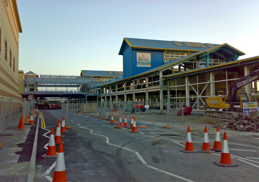
Lakeside Shopping Centre, is a large out-of-town shopping centre located in West Thurrock, Essex just beyond the eastern boundary of Greater London. It was constructed on the site of a former chalk quarry. The first tenants moved into the complex in 1988 and it was completed in 1990, being opened on 25 October of that year by Princess Alexandra of Kent, Marcus Bradford and Angus Ogilvy. New spaces in the red car park were added as recently as October 2019. The shopping centre, in addition to the retail parks, forms one of the largest shopping areas in a single location within Europe, with almost of retail space on a site of . The community of Chafford Hundred has grown to the east of the centre since its opening. Its main rival is the Bluewater Shopping Centre in Greenhithe, Kent, just across the River Thames. The centre was rebranded as Intu Lakeside in 2013 following the renaming of parent Capital Shopping Centres as Intu. The centre was sold in 2020 after Intu went into a ... [...More Info...] [...Related Items...] OR: [Wikipedia] [Google] [Baidu] |
Southend-on-Sea
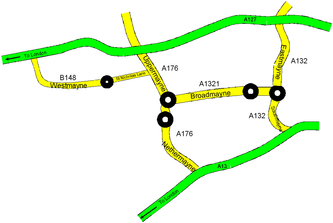
Southend-on-Sea (), commonly referred to as Southend (), is a coastal city and unitary authority area with borough status in southeastern Essex, England. It lies on the north side of the Thames Estuary, east of central London. It is bordered to the north by Rochford and to the west by Castle Point. It is home to the longest pleasure pier in the world, Southend Pier. London Southend Airport is located north of the city centre. Southend-on-Sea originally consisted of a few poor fishermen's huts and farms at the southern end of the village of Prittlewell. In the 1790s, the first buildings around what was to become the High Street of Southend were completed. In the 19th century, Southend's status of a seaside resort grew after a visit from Princess Caroline of Brunswick, and Southend Pier was constructed. From the 1960s onwards, the city declined as a holiday destination. Southend redeveloped itself as the home of the Access credit card, due to its having one of the UK's first ... [...More Info...] [...Related Items...] OR: [Wikipedia] [Google] [Baidu] |
A13 Road (Great Britain)
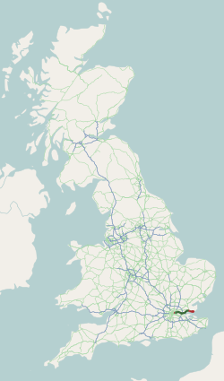
The A13 is a major road in England linking Central London with east London and south Essex. Its route is similar to that of the London, Tilbury and Southend line via Rainham, Grays, Tilbury & Stanford-Le-Hope, and runs the entire length of the northern Thames Gateway area, terminating on the Thames Estuary at Shoeburyness. It is a trunk road between London and the Tilbury junction, a primary route between there and Sadlers Hall Farm near South Benfleet, and a non-primary route between there and Shoeburyness. Route London The A13 used to start at Aldgate Pump; but now begins at the junction with the A11 at what used to be the Aldgate one way system in east London and heads eastwards through the boroughs of Tower Hamlets, Newham, Barking & Dagenham and Havering before reaching the Greater London boundary. Commercial Road and East India Dock Road At the cental London end, Commercial Road and East India Dock Road form one of two main arteries through the historic East End (th ... [...More Info...] [...Related Items...] OR: [Wikipedia] [Google] [Baidu] |
Basildon
Basildon ( ) is the largest town in the borough of Basildon, within the county of Essex, England. It has a population of 107,123. In 1931 the parish had a population of 1159. It lies east of Central London, south of the city of Chelmsford and west of Southend-on-Sea. Nearby smaller towns include Billericay to the north-west, Wickford to the north-east and South Benfleet to the south-east. It was created as a new town after World War II in 1948, to accommodate the London population overspill from the conglomeration of four small villages, namely Pitsea, Laindon, Basildon (the most central of the four) and Vange. The local government district of Basildon, which was formed in 1974 and received borough status in 2010, encapsulates a larger area than the town itself; the two neighbouring towns of Billericay and Wickford, as well as rural villages and smaller settlements set among the surrounding countryside, fall within its borders. Basildon Town is one of the most densely populat ... [...More Info...] [...Related Items...] OR: [Wikipedia] [Google] [Baidu] |
Grays, Essex
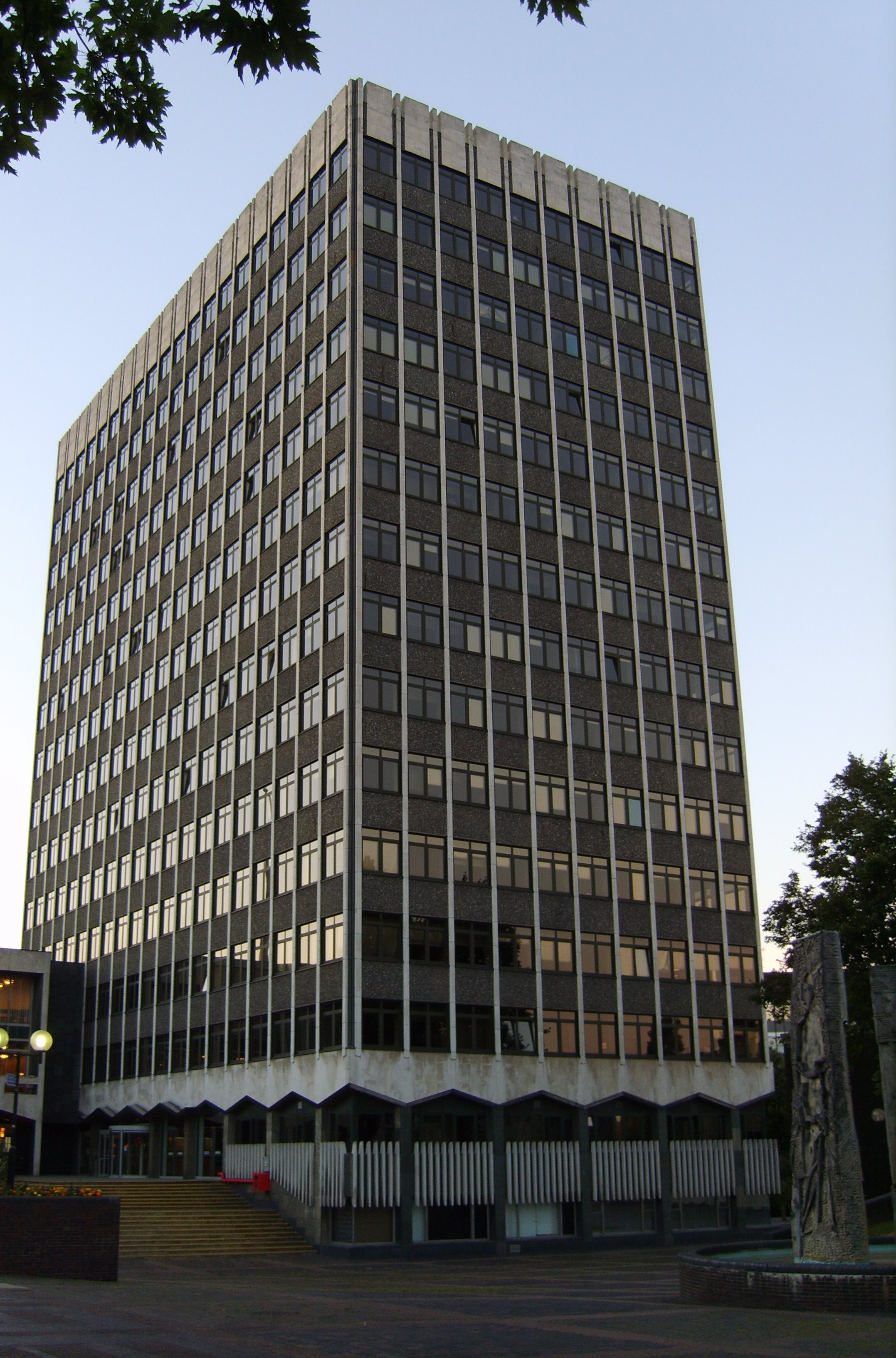
Grays (or Grays Thurrock) is the largest town in the borough and unitary authority of Thurrock in Essex, England. The town which is both a former civil parish and one of Thurrock's traditional Church of England parishes is located on the north bank of the River Thames. It is approximately to the east of central London, and east of the M25 motorway. Its economy is linked to Port of London industries, its own offices, retail and the Lakeside Shopping Centre at West Thurrock. In 1931 the parish had a population of 18,173. History Samuel Pepys recorded in his diary that he visited Grays on 24 September 1665 and apparently bought fish from the local fishermen. Parts of Grays and Chafford Hundred are set within three Victorian chalk pits; the largest two being the Lion Gorge, and the Warren Gorge. Another area of the Chafford Hundred residential development is built on a Victorian landfill site. The civic offices on New Road in Grays were built in the 1980s; work on an extension b ... [...More Info...] [...Related Items...] OR: [Wikipedia] [Google] [Baidu] |
NIBS Buses
NIBS Buses is a bus and coach operator in Essex, England. History NIBS Buses was established as a coach charter operator in 1968 by Bill and Chris Nelson as Nelson Coaches. In 1971 Beeline Coaches of Brentwood was purchased. By 1980 it operated five vehicles. In 1984 it commenced operating routes services under the Nelsons Independent Bus Services brand to Romford Market and Southend Airport. Further bus services commenced in 1986 after deregulation.About NIBS NIBS Buses In 2006 it was rebranded NIBS Buses. In 2018 the business was purchased by Eastern Transport Holdings with 30 vehicles. The existing brand was retained. On 17 June 2019, NIBS Buses took over Ensignbus
Ensignbus is a bus and ...
[...More Info...] [...Related Items...] OR: [Wikipedia] [Google] [Baidu] |
Ockendon Railway Station
Ockendon railway station is located on a passing loop on a single-track branch of the London, Tilbury and Southend line, serving the town of South Ockendon, Essex. It is down the line from London Fenchurch Street via ; the following station on the branch is . Its three-letter station code is OCK. The station was opened in 1892 by the London, Tilbury and Southend Railway (LTSR). Today, all passenger train services are operated by c2c, which also manages the station. Although the station is outside the London fare zones 1 to 6, it became part of the Oyster card pay-as-you-go network in 2010. History The single-track line through the area was opened in 1892 by the LTSR as part of a branch from to via . By the late 20th century, service on the line had been reduced to a relatively infrequent shuttle between Upminster and Grays. However, service levels increased following the opening of a new station on the branch at Chafford Hundred and the shuttle train service was eventually e ... [...More Info...] [...Related Items...] OR: [Wikipedia] [Google] [Baidu] |
Southend Central Railway Station
Southend Central railway station is on the London, Tilbury and Southend line and is one of two primary stations serving the city of Southend-on-Sea, Essex. The city's other main station is called which is the terminus of a branch line off the Great Eastern Main Line. Southend Central is down the line from London Fenchurch Street via and it is situated between and stations. Its three-letter station code is SOC. It was opened in 1856 by the London, Tilbury and Southend Railway and was the eastern terminus of the line until 1888, after which the line was later extended to . The station and all trains serving it are currently operated by c2c. Description Southend Central has four platforms: *Platform 1 is a bay platform; trains may terminate at this formerly disused platform if platform 4 is not available for use or when engineering works are taking place between Southend Central and Shoeburyness; it has an operational length for 12-coach trains. *Platform 2 is typically for ... [...More Info...] [...Related Items...] OR: [Wikipedia] [Google] [Baidu] |
Fenchurch Street Railway Station
Fenchurch Street railway station, also known as London Fenchurch Street, is a central London railway terminus in the southeastern corner of the City of London. It takes its name from its proximity to Fenchurch Street, a key thoroughfare in the City. The station and all trains are operated by c2c. Services run on lines built by the London and Blackwall Railway (L&BR) and the London, Tilbury and Southend Railway (LTSR) to destinations in east London and south Essex, including , , , Southend and . The station opened in 1841 to serve the L&BR and was rebuilt in 1854 when the LTSR, a joint venture between the L&BR and the Eastern Counties Railway (ECR), began operating. The ECR also operated trains out of Fenchurch Street to relieve congestion at its other London terminus at . In 1862 the Great Eastern Railway was created by amalgamating various East Anglian railway companies (including the ECR) and it shared the station with the LTSR until 1912, when the latter was bought by the M ... [...More Info...] [...Related Items...] OR: [Wikipedia] [Google] [Baidu] |
East Tilbury Railway Station
East Tilbury railway station is on a loop line of the London, Tilbury and Southend line, serving the village of East Tilbury, Essex. It is down the line from London Fenchurch Street via and it is situated between and . Its three-letter station code is ETL. It was opened on 7 September 1936 as a halt station intended to serve workers at the nearby Bata Shoe Company, which paid for the construction of the platforms. Initially, trains only stopped in rush hour. The halt was upgraded to full station status in January 1949. Increasing patronage at East Tilbury led to the closure in 1967 of Low Street, a minor station close by. East Tilbury is on a link known as the Tilbury Loop, which joins the main line at the London end at and at the country end at . The station and all trains serving it are operated by c2c. It is located close to Coalhouse Fort Coalhouse Fort is an artillery fort in the eastern English county of Essex. It was built in the 1860s to guard the lower Tham ... [...More Info...] [...Related Items...] OR: [Wikipedia] [Google] [Baidu] |


%2C_Route_474%2C_13_October_2013.jpg)
