|
Dwarf Lanternshark
The dwarf lanternshark (''Etmopterus perryi'') is a species of dogfish shark in the family Etmopteridae and is the smallest shark in the world, reaching a maximum known length of . It is known to be present only on the upper continental slopes off Colombia and Venezuela, at a depth of . This species can be identified by its small size at maturity, long flattened head, and pattern of black ventral markings and a mid-dorsal line. Like other members of its genus, it is capable of producing light from a distinctive array of photophores. Reproduction is aplacental viviparous, with females gestating two or three young at a time. The dwarf lanternshark is not significant to commercial fisheries, but could be threatened by mortality from bycatch; the degree of impact from human activities on its population is unknown. Taxonomy and phylogeny American ichthyologists Stewart Springer and George H. Burgess described the dwarf lanternshark from specimens collected via trawling by the U.S. Fi ... [...More Info...] [...Related Items...] OR: [Wikipedia] [Google] [Baidu] |
Stewart Springer
Stewart Springer (5 June 190623 August 1991) was an American ichthyologist and herpetologist. He was a world-renowned expert on shark behavior, classification (taxonomy), and population distribution. More than 35 species of sharks, skates, rays, and other creatures are either classified by or named after him. Education Springer was a field naturalist, mostly self-taught. In 1964, 35 years after he dropped out of Butler University, Springer obtained a baccalaureate from George Washington University after having already achieved success in his chosen field of ichthyology. Many colleagues and students addressed him as Dr. on the mistaken assumption that he must have a Ph.D. in biology or an allied field given his status in the world community of ichthyologists. His exceptional interest in animal behavior was apparent early in his life, when at age 22, he identified and described a new species of lizard, '' Cnemidophorus velox'', the plateau striped whiptail. His interest in the wh ... [...More Info...] [...Related Items...] OR: [Wikipedia] [Google] [Baidu] |
Trawl
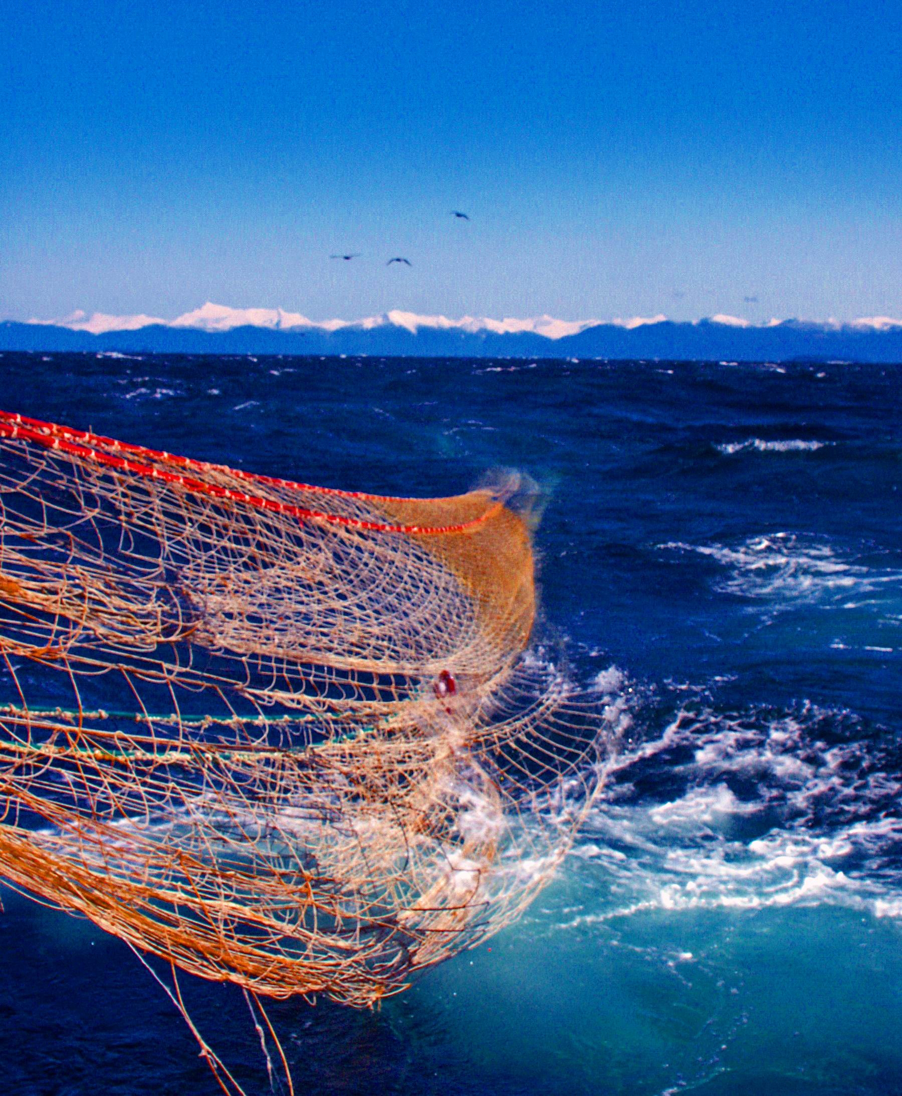
Trawling is a method of fishing that involves pulling a fishing net through the water behind one or more boats. The net used for trawling is called a trawl. This principle requires netting bags which are towed through water to catch different species of fishes or sometimes targeted species. Trawls are often called towed gear or dragged gear. The boats that are used for trawling are called trawlers or draggers. Trawlers vary in size from small open boats with as little as 30 hp (22 kW) engines to large factory trawlers with over 10,000 hp (7.5 MW). Trawling can be carried out by one trawler or by two trawlers fishing cooperatively ( pair trawling). Trawling can be contrasted with trolling. While trawling involves a net and is typically done for commercial usage, trolling instead involves a reed, rod and a bait or a lure and is typically done for recreational purposes. Trawling is also commonly used as a scientific sampling, or survey, method. Bottom vs. midwater trawlin ... [...More Info...] [...Related Items...] OR: [Wikipedia] [Google] [Baidu] |
Los Testigos Islands
Los Testigos Islands ( es, Islas Los Testigos, Witnesses Islands) are a group of islands in the southeastern Caribbean Sea. They are a part of the ''Dependencias Federales'' (Federal Dependencies) of Venezuela. Geography The Los Testigos Islands are located about northeast of Caracas and about northeast of Isla Margarita. The coordinates of the main island are .The archipelago has an area of 6.53 square km (2.52 square miles)1 and consists of 6 major islands and a number of smaller rock islets.Hernández Caballero, Serafín (Editor). 1998: Gran Enciclopedia de Venezuela. Editorial Globe, C.A. Caracas. 10 volúmenes. The larger islands are: * ''Isla Testigo Grande'', main island * ''Isla Conejo'', east of the main island * ''Isla Iguana'', south of the main island * ''Isla Morro Blanco'', south of the main island * ''Isla Noreste'', northeast of the main island * ''Isla Rajado'', east of the main island The larger rock islets are: * ''El Chivo'' * ''Peñón de Fuera'' The pop ... [...More Info...] [...Related Items...] OR: [Wikipedia] [Google] [Baidu] |
Guajira Peninsula
The Guajira Peninsula ( es, Península de La Guajira, links=no, also spelled ''Goajira'', mainly in colonial period texts, guc, Hikükariby) is a peninsula in northern Colombia and northwestern Venezuela in the Caribbean. It is the northernmost peninsula in South America and has an area of extending from the Manaure Bay (Colombia) to the Calabozo Ensenada in the Gulf of Venezuela (Venezuela), and from the Caribbean to the Serranía del Perijá mountains range. It was the subject of a historic dispute between Venezuela and Colombia in 1891, and on arbitration was awarded to the latter and joined to its Magdalena Department. Nowadays, most of the territory is part of Colombia, making it part of La Guajira Department. The remaining strip is part of the Venezuelan Zulia State. The northernmost part of the peninsula is called Punta Gallinas (12° 28´ N) and is also considered the northernmost part of mainland South America. [...More Info...] [...Related Items...] OR: [Wikipedia] [Google] [Baidu] |
Santa Marta
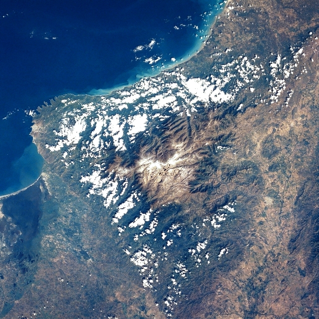
Santa Marta (), officially Distrito Turístico, Cultural e Histórico de Santa Marta ("Touristic, Cultural and Historic District of Santa Marta"), is a city on the coast of the Caribbean Sea in northern Colombia. It is the capital of Magdalena Department and the fourth-largest urban city of the Caribbean Region of Colombia, after Barranquilla, Cartagena, and Soledad. Founded on July 29, 1525, by the Spanish conqueror Rodrigo de Bastidas, it was the first Spanish settlement in Colombia, its oldest surviving city, and second oldest in South America. This city is situated on a bay by the same name and as such, it is a prime tourist destination in the Caribbean region. History Pre-Colombian times Before the arrival of Europeans, the South American continent was inhabited by a number of indigenous groups. Due to a combination of tropical weather, significant rainfall, and the destruction and misrepresentation of many records by Spanish conquistadors, our understanding of the ... [...More Info...] [...Related Items...] OR: [Wikipedia] [Google] [Baidu] |
Barranquilla
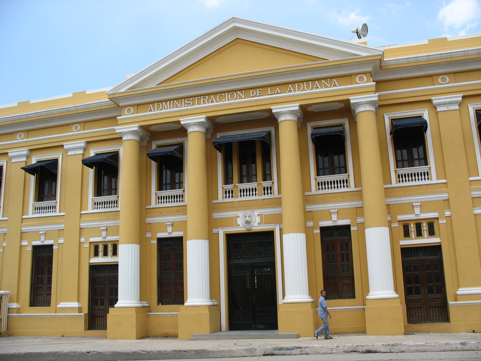
Barranquilla () is the capital district of Atlántico Department in Colombia. It is located near the Caribbean Sea and is the largest city and third port in the Caribbean Coast region; as of 2018 it had a population of 1,206,319, making it Colombia's fourth-most populous city after Bogotá, Medellín, and Cali. Barranquilla lies strategically next to the delta of the Magdalena River, (originally before rapid urban growth) from its mouth at the Caribbean Sea, serving as a port for river and maritime transportation within Colombia. It is also the main economic center of Atlántico department in Colombia. The city is the core of the Metropolitan Area of Barranquilla, with a population of over 2 million, which also includes the municipalities of Soledad, Galapa, Malambo, and Puerto Colombia. Barranquilla was legally established as a town on April 7, 1813, although it dates from at least 1629. It grew into an important port, serving as a haven for immigrants from Europe, espe ... [...More Info...] [...Related Items...] OR: [Wikipedia] [Google] [Baidu] |
Caribbean Sea
The Caribbean Sea ( es, Mar Caribe; french: Mer des Caraïbes; ht, Lanmè Karayib; jam, Kiaribiyan Sii; nl, Caraïbische Zee; pap, Laman Karibe) is a sea of the Atlantic Ocean in the tropics of the Western Hemisphere. It is bounded by Mexico and Central America to the west and southwest, to the north by the Greater Antilles starting with Cuba, to the east by the Lesser Antilles, and to the south by the northern coast of South America. The Gulf of Mexico lies to the northwest. The entire area of the Caribbean Sea, the numerous islands of the West Indies, and adjacent coasts are collectively known as the Caribbean. The Caribbean Sea is one of the largest seas and has an area of about . The sea's deepest point is the Cayman Trough, between the Cayman Islands and Jamaica, at below sea level. The Caribbean coastline has many gulfs and bays: the Gulf of Gonâve, Gulf of Venezuela, Gulf of Darién, Golfo de los Mosquitos, Gulf of Paria and Gulf of Honduras. The Caribbean Sea has ... [...More Info...] [...Related Items...] OR: [Wikipedia] [Google] [Baidu] |
Dermal Denticle
A fish scale is a small rigid plate that grows out of the skin of a fish. The skin of most jawed fishes is covered with these protective scales, which can also provide effective camouflage through the use of reflection and colouration, as well as possible hydrodynamic advantages. The term ''scale'' derives from the Old French , meaning a shell pod or husk. Scales vary enormously in size, shape, structure, and extent, ranging from strong and rigid armour plates in fishes such as shrimpfishes and boxfishes, to microscopic or absent in fishes such as eels and anglerfishes. The morphology of a scale can be used to identify the species of fish it came from. Scales originated within the jawless ostracoderms, ancestors to all jawed fishes today. Most bony fishes are covered with the cycloid scales of salmon and carp, or the ctenoid scales of perch, or the ganoid scales of sturgeons and gars. Cartilaginous fishes (sharks and rays) are covered with placoid scales. Some species ar ... [...More Info...] [...Related Items...] OR: [Wikipedia] [Google] [Baidu] |
Combtooth Lanternshark
The combtoothed lanternshark (''Etmopterus decacuspidatus'') is a shark of the family Etmopteridae the only specimen, and holotype, being found from the South China Sea between the Viet Nam coast and Hainan Island, at a depth of between 510 and 690 m. The holotype's length is 29 cm. Reproduction is presumed to be ovoviviparous Ovoviviparity, ovovivipary, ovivipary, or aplacental viviparity is a term used as a "bridging" form of reproduction between egg-laying oviparous and live-bearing viviparous reproduction. Ovoviviparous animals possess embryos that develop insi .... References * * Compagno, Dando, & Fowler, ''Sharks of the World'', Princeton University Press, New Jersey 2005 {{DEFAULTSORT:Combtoothed lanternshark Etmopterus Fish described in 1966 ... [...More Info...] [...Related Items...] OR: [Wikipedia] [Google] [Baidu] |
Broadbanded Lanternshark
The broadbanded lanternshark (''Etmopterus gracilispinis'') is a shark of the family Etmopteridae found in the western and southeast Atlantic, between latitudes 40°N and 45°S, at depths of between 70 and 1,000 m. Its length is up to 35 cm. Reproduction is presumed to be ovoviviparous Ovoviviparity, ovovivipary, ovivipary, or aplacental viviparity is a term used as a "bridging" form of reproduction between egg-laying oviparous and live-bearing viviparous reproduction. Ovoviviparous animals possess embryos that develop insi .... References {{DEFAULTSORT:Broadbanded Lanternshark Etmopterus Fish described in 1968 ... [...More Info...] [...Related Items...] OR: [Wikipedia] [Google] [Baidu] |
Brown Lanternshark
The brown lanternshark or bristled lanternshark (''Etmopterus unicolor'') is a little-known species of deep-sea dogfish shark in the family Etmopteridae. It is found off Japan and New Zealand, and possibly also South Africa and Australia, typically deeper than . This species can be distinguished from other lanternsharks by its coloration, which is a uniform dark gray or brown without the ventral surface being much darker and clearly delineated from the rest of the body. The brown lanternshark feeds on small bony fishes, cephalopods, and crustaceans. Reproduction is ovoviviparous, with females giving birth to 9–18 young. An unusually high proportion of individuals in Suruga Bay are hermaphrodites, with both male and female characteristics. Taxonomy The brown lanternshark was first described by Robert Engelhardt as ''Spinax unicolor'' in 1912, in the scientific journal ''Zoologischer Anzeiger''. The type specimen was a 55-cm-long female from Sagami Bay, Japan. In 1965, ... [...More Info...] [...Related Items...] OR: [Wikipedia] [Google] [Baidu] |
Fringefin Lanternshark
The fringefin lanternshark (''Etmopterus schultzi'') is a shark of the family Etmopteridae found in the western central Atlantic from Texas to Florida, northern Gulf of Mexico, and Mexico. It is endemic to this area. It is a deep water shark and is found about 220 to 915 meters below the surface, on the upper continental slopes of the Gulf. ''E. schultzi'' is a small shark, about 27–30 cm long and feeds on squid. It is also bioluminescent, which counter-illuminates it and helps with intraspecific interaction. Due to its limited range and the difficulty of collecting deep water species, it has not been evaluated by the IUCN Red List, but due to recent oil spills in the Gulf of Mexico, it is likely that fringefin lanternsharks have decreased in population. Taxonomy The fringefin lanternshark was first identified in 1953 by H.B. Bigelow, W. C. Schroeder, and S. Springer in the ''Bulletin of the Museum of Comparative Zoology'' at Harvard College. Etmopteridae is a family com ... [...More Info...] [...Related Items...] OR: [Wikipedia] [Google] [Baidu] |

_2014-09-21_(3).jpg)


