|
Dunkeld, Queensland
Dunkeld is a locality in the Maranoa Region, Queensland, Australia, situated 80.7 kilometres (55.1 mi) south of Mitchell and 122.1 kilometres (75.8 mi) south-west of Roma. In the , Dunkeld had a population of 41 people. Geography The Maranoa River flows from north to south through the locality. History The name Dunkeld derives from a pastoral run name given in 1863 by pastoralists Edward Flood and Samuel Deane Gordon, after the village of Dunkeld, Tayside, Scotland.Dunkeld State Schoolopened on 25 January 1965. Education Dunkeld State School is a government co-educational primary school (P-6) on Mitchell-St George Road. In 2017, the school had an enrolment of 9 students with 1 teacher and 5 non-teaching staff (1 full-time equivalent). There are no secondary schools in Dunkeld with the closest beinMitchell State School(for students up to Year 10) in Mitchell, 80.7 kilometres (50.1 mi) N of Dunkeld anRoma State College(for students in Year 11 and Year 12) in Roma Roma or RO ... [...More Info...] [...Related Items...] OR: [Wikipedia] [Google] [Baidu] |
Electoral District Of Warrego
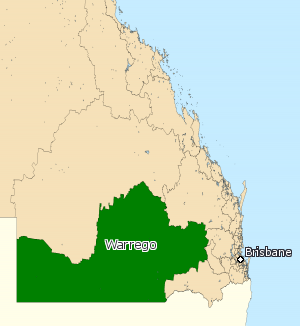
Warrego is an electoral district of the Legislative Assembly in the Australian state of Queensland. The electorate lies in the extreme southwest of Queensland, running along the western part of the border with New South Wales. It includes the large town of Dalby, as well as the rural centres of Surat, Roma, Tara, Charleville, Augathella, St George and Cunnamulla. History The electoral district of Warrego was created by the ''Additional Members Act of 1864'' which introduced six new single-member electorates. A by-election was held to fill the seat. The nomination date was 18 March 1865 and the election was held on 25 March 1865. Warrego was, as with the rest of the state, held by independents and loose groupings of members around the government of the day until the first years of the twentieth century, when the partisan system took hold. It then became a stronghold of the centre-left Labor Party, which held it without interruption from 1908 to 1974. The decline of the ru ... [...More Info...] [...Related Items...] OR: [Wikipedia] [Google] [Baidu] |
Maranoa Region
Maranoa Region is a local government area in South West Queensland, Australia. The town of Roma is the administrative headquarters of the region. History The Gunggari language region of South West Queensland includes the landscape within the local government boundaries of the Maranoa Region particularly the towns of Mitchell, Amby, Dunkeld and Mungallala and the properties of Forest Vale and North Yanco. '' Gungabula'' (also known as ''Kongabula'' and ''Khungabula'') is an Australian Aboriginal language of the headwaters of the Dawson River in Central Queensland. The language region includes areas within the local government area of Maranoa Region, particularly the towns of Charleville, Augathella and Blackall and as well as the Carnarvon Range. On 17 May 1927, 57 allotments of Mount Abundance land, south-west of Roma, were advertised for lease by the Lands Department. Each lease carried a condition that a certain area had to be cultivated with wheat within a specified peri ... [...More Info...] [...Related Items...] OR: [Wikipedia] [Google] [Baidu] |
Tayside
Tayside ( gd, Taobh Tatha) was one of the nine regions used for local government in Scotland from 15 May 1975 to 31 March 1996. The region was named for the River Tay. It was created by the Local Government (Scotland) Act 1973, following recommendations made by the 1969 Wheatley Report which attempted to replace the mishmash of counties, cities, burghs and districts, with a uniform two-tier system of regional and district councils. Since the Local Government etc. (Scotland) Act 1994, the former Tayside has been divided into the council areas of Angus, the City of Dundee and Perth and Kinross, which had previously been the region's districts. Tayside Regional Council directly operated local bus services in the City of Dundee from 1975 until 1986, when bus deregulation under terms of the Transport Act 1985 was implemented. The restructured Tayside Buses became employee-owned in 1991, was sold to National Express in 1997, and today trades as Xplore Dundee. Continued use Tayside ... [...More Info...] [...Related Items...] OR: [Wikipedia] [Google] [Baidu] |
Dunkeld And Birnam
Dunkeld (, sco, Dunkell, from gd, Dùn Chailleann, "fort of the Caledonians") is a town in Perth and Kinross, Scotland. The location of a historic cathedral, it lies on the north bank of the River Tay, opposite Birnam. Dunkeld lies close to the geological Highland Boundary Fault, and is frequently described as the "Gateway to the Highlands" due to its position on the main road and rail lines north. Dunkeld has a railway station, Dunkeld & Birnam, on the Highland Main Line, and is about north of Perth on what is now the A9 road. The main road formerly ran through the town, however following modernisation of this road it now passes to the west of Dunkeld. Dunkeld is the location of Dunkeld Cathedral, and is considered to be a remarkably well-preserved example of a Scottish burgh of the late seventeenth and early eighteenth centuries. Around twenty of the houses within Dunkeld have been restored by the National Trust for Scotland, who run a shop within the town. The Hermitage, ... [...More Info...] [...Related Items...] OR: [Wikipedia] [Google] [Baidu] |
Maranoa River
The Maranoa River, part of the Murray-Darling basin, is a river situated in South West Queensland, Australia. Course and features Formed by the confluence of the west and east branches of the river, the Maranoa River rises on the Consuelo Tableland in the Carnarvon National Park. The valleys in the river's catchment area are broad rather than gorge-like as in the nearby Carnarvon Gorge, with isolated bluffs and pillars of sandstone on sandy plains. The Maranoa passes through Mitchell and flows south towards St George. The river reaches its confluence with the Balonne River north of St George. The Balonne eventually flows into the Darling River (via a few branches), so it contributes to the Murray-Darling Basin. From source to mouth, the Maranoa is joined by 31 tributaries including the Merivale River and descends over its course. The Warrego Highway crosses the river at Mitchell. The Neil Turner Weir was built on the river in 1984. It provides limited supplies for irrigat ... [...More Info...] [...Related Items...] OR: [Wikipedia] [Google] [Baidu] |
Roma, Queensland
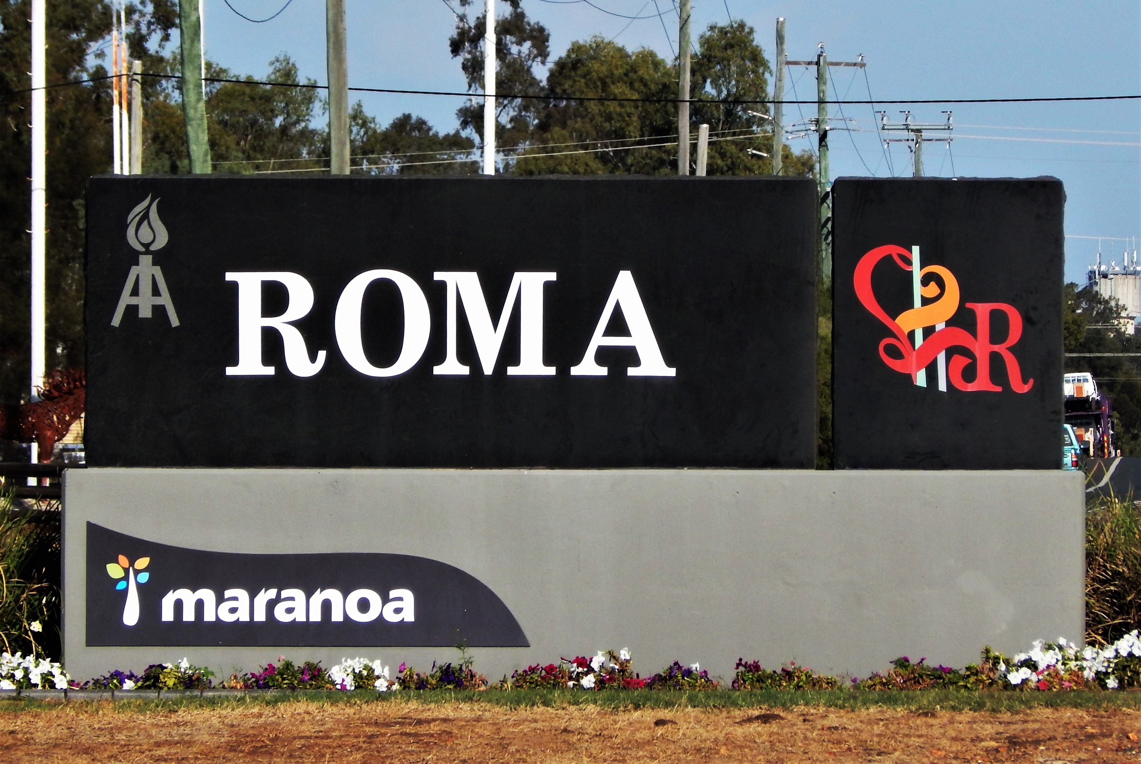
Roma is a rural town and locality in the Maranoa Region, Queensland, Australia. It is the administrative centre of the Maranoa Region. The town was incorporated in 1867 and is named after Lady Diamantina Bowen (née di Roma), the wife of Sir George Bowen, the Governor of Queensland at the time. In the , the locality of Roma had a population of 6,848 people. Geography Roma is in the Maranoa district of South West Queensland, Australia, situated * by rail and road WNW of Brisbane * 355 km (221 mi) W of Toowoomba, * 269 km (167 mi) W of Dalby * 141 km (87.6 mi) W of Miles * 87 km (54 mi) E of Mitchell * 176.6 km (109.7 mi) E of Morven * 266 km (165 mi) E of Charleville It is situated at the junction of the Warrego and Carnarvon highways. It is the centre of a rich pastoral and wheat-growing district. It is also a major town on the Western Railway Line from Toowoomba and Brisbane. History Prior the European settlement the Aboriginal peoples of the Mandandanji Nation o ... [...More Info...] [...Related Items...] OR: [Wikipedia] [Google] [Baidu] |
Mitchell, Queensland
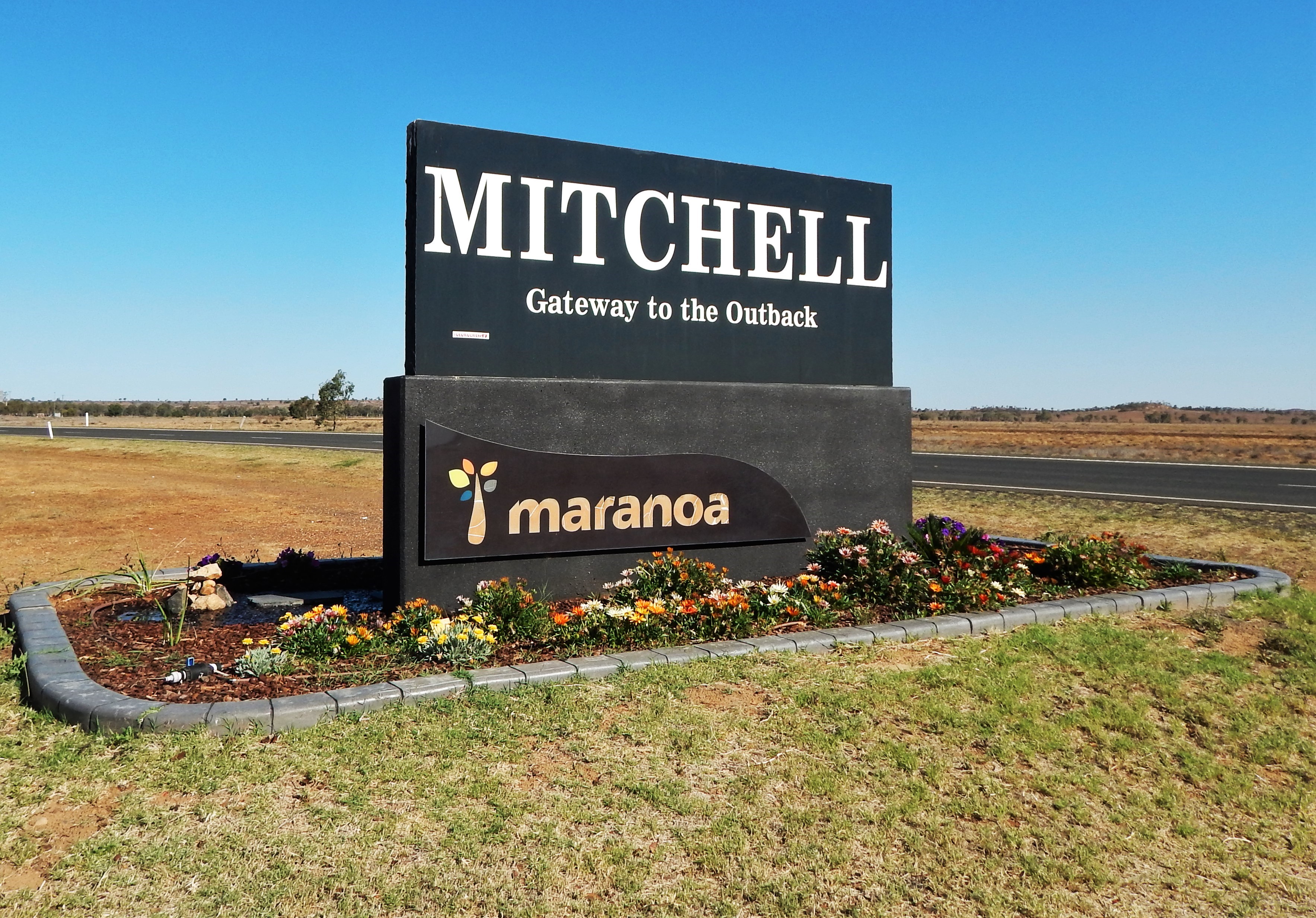
Mitchell is a rural town and locality in the Maranoa Region, Queensland, Australia. The town services the local area, a cattle and sheep farming district. In the , the locality of Mitchell had a population of 1,031 people. Geography Mitchell is on the Warrego Highway, west of Brisbane, 441 kilometres (274 mi) west of Toowoomba, 230 kilometres (143 mi) west of Miles, 89 kilometres (55 mi) west of Roma and 180 kilometres (112 mi) east of Charleville. The Warrego Highway passes through town to form the main street, Cambridge Street. The Maranoa River flows around the northern and eastern sides of the town before eventually flowing into the Balonne River. The Western railway passes through the locality, entering from the east ( Amby / Walhallow) and exiting to the west ( Womalilla). The locality is served by a number of railway stations, from west to east: * Mitchell railway station, a passenger stop in the town () * Booringa railway siding, now dismantled () * Marbango railw ... [...More Info...] [...Related Items...] OR: [Wikipedia] [Google] [Baidu] |
Queensland
) , nickname = Sunshine State , image_map = Queensland in Australia.svg , map_caption = Location of Queensland in Australia , subdivision_type = Country , subdivision_name = Australia , established_title = Before federation , established_date = Colony of Queensland , established_title2 = Separation from New South Wales , established_date2 = 6 June 1859 , established_title3 = Federation , established_date3 = 1 January 1901 , named_for = Queen Victoria , demonym = , capital = Brisbane , largest_city = capital , coordinates = , admin_center_type = Administration , admin_center = 77 local government areas , leader_title1 = Monarch , leader_name1 = Charles III , leader_title2 = Governor , leader_name2 = Jeannette Young , leader_title3 = Premier , leader_name3 = Annastacia Palaszczuk ( ALP) , legislature = Parliament of Queensland , judiciary = Supreme Court of Queensland , national_representation = Parliament of Australia , national_representation_type ... [...More Info...] [...Related Items...] OR: [Wikipedia] [Google] [Baidu] |
Suburbs And Localities (Australia)
Suburbs and localities are the names of geographic subdivisions in Australia, used mainly for address purposes. The term locality is used in rural areas, while the term suburb is used in urban areas. Australian postcodes closely align with the boundaries of localities and suburbs. This Australian usage of the term "suburb" differs from common American and British usage, where it typically means a smaller, frequently separate residential community outside, but close to, a larger city. The Australian usage is closer to the American or British use of "district" or "neighbourhood", and can be used to refer to any portion of a city. Unlike the use in British or American English, this term can include inner-city, outer-metropolitan and industrial areas. Localities existed in the past as informal units, but in 1996 the Intergovernmental Committee on Surveying and Mapping and the Committee for Geographical Names in Australasia (CGNA) decided to name and establish official boundarie ... [...More Info...] [...Related Items...] OR: [Wikipedia] [Google] [Baidu] |
Division Of Maranoa
The Division of Maranoa is an Australian electoral division in Queensland. Maranoa extends across the Southern Outback and is socially conservative. In the 2016 and 2019 federal elections, Pauline Hanson's One Nation finished ahead of Labor, reaching 20% of the primary vote. Maranoa is a stronghold for the Liberal National Party of Queensland. The current MP is David Littleproud, former Minister of Agriculture and current leader of the National Party. Geography Since 1984, federal electoral division boundaries in Australia have been determined at redistributions by a redistribution committee appointed by the Australian Electoral Commission. Redistributions occur for the boundaries of divisions in a particular state, and they occur every seven years, or sooner if a state's representation entitlement changes or when divisions of a state are malapportioned. History The division was proclaimed in 1900, and was one of the original 65 divisions to be contested at the first ... [...More Info...] [...Related Items...] OR: [Wikipedia] [Google] [Baidu] |
V Gate, Queensland
V Gate is a rural locality in the Maranoa Region, Queensland ) , nickname = Sunshine State , image_map = Queensland in Australia.svg , map_caption = Location of Queensland in Australia , subdivision_type = Country , subdivision_name = Australia , established_title = Before federation , establishe ..., Australia. In the , V Gate had a population of 29 people. References {{Maranoa Region Maranoa Region Localities in Queensland ... [...More Info...] [...Related Items...] OR: [Wikipedia] [Google] [Baidu] |
Bargunyah, Queensland
Bargunyah is a rural locality in the Maranoa Region, Queensland ) , nickname = Sunshine State , image_map = Queensland in Australia.svg , map_caption = Location of Queensland in Australia , subdivision_type = Country , subdivision_name = Australia , established_title = Before federation , established_ ..., Australia. In the , Bargunyah had a population of 29 people. Bargunyah's postcode is 4488. References {{Maranoa Region Maranoa Region Localities in Queensland ... [...More Info...] [...Related Items...] OR: [Wikipedia] [Google] [Baidu] |


