|
Dumbarton Bridge, California
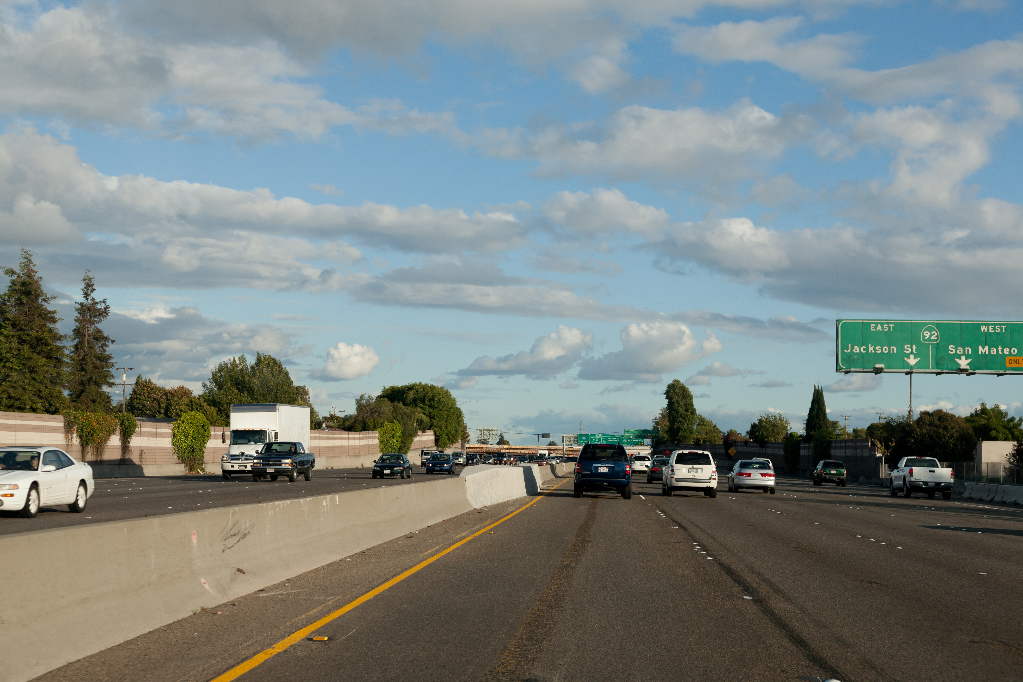
The Dumbarton Bridge is the southernmost of the highway bridges across San Francisco Bay in California. Carrying over 70,000 vehicles and about 118 pedestrian and bicycle crossings daily (384 on weekends), it is the shortest bridge across San Francisco Bay at . Its eastern end is in Fremont, near Newark in the San Francisco Bay National Wildlife Refuge, and its western end is in Menlo Park. Bridging State Route 84 across the bay, it has three lanes each way and a separated bike/pedestrian lane along its south side. Like the San Mateo Bridge to the north, power lines parallel the bridge. History and engineering features The bridge has never been officially named, but its commonly used name comes from Dumbarton Point, named in 1876 after Dumbarton, Scotland. Built originally to provide a shortcut for traffic originating in San Mateo and Santa Clara counties, the bridge served industrial and residential areas on both sides. The earlier bridge opened on January 17, 1927, and ... [...More Info...] [...Related Items...] OR: [Wikipedia] [Google] [Baidu] |
San Francisco Bay
San Francisco Bay is a large tidal estuary in the U.S. state of California, and gives its name to the San Francisco Bay Area. It is dominated by the big cities of San Francisco, San Jose, and Oakland. San Francisco Bay drains water from approximately 40 percent of California. Water from the Sacramento and San Joaquin rivers, and from the Sierra Nevada mountains, flow into Suisun Bay, which then travels through the Carquinez Strait to meet with the Napa River at the entrance to San Pablo Bay, which connects at its south end to San Francisco Bay. It then connects to the Pacific Ocean via the Golden Gate strait. However, this entire group of interconnected bays is often called the ''San Francisco Bay''. The bay was designated a Ramsar Wetland of International Importance on February 2, 2017. Size The bay covers somewhere between , depending on which sub-bays (such as San Pablo Bay), estuaries, wetlands, and so on are included in the measurement. The main part of the bay meas ... [...More Info...] [...Related Items...] OR: [Wikipedia] [Google] [Baidu] |
Arterial Road
An arterial road or arterial thoroughfare is a high-capacity urban road that sits below freeways/motorways on the road hierarchy in terms of traffic flow and speed. The primary function of an arterial road is to deliver traffic from collector roads to freeways or expressways, and between urban centres at the highest level of service possible. As such, many arteries are limited-access roads, or feature restrictions on private access. Because of their relatively high accessibility, many major roads face large amounts of land use and urban development, making them significant urban places. In traffic engineering hierarchy, an arterial road delivers traffic between collector roads and freeways. For new arterial roads, intersections are often reduced to increase traffic flow. In California, arterial roads are usually spaced every half mile, and have intersecting collector(s) and streets. Some arterial roads, characterized by a small fraction of intersections and driveways compared to ... [...More Info...] [...Related Items...] OR: [Wikipedia] [Google] [Baidu] |
California State Route 109
State Route 109 (SR 109) is a short, unsigned state highway in the U.S. state of California. It forms part of University Avenue in San Mateo County between U.S. Route 101 in East Palo Alto and State Route 84 in Menlo Park just west of the Dumbarton Bridge. Although the route is unsigned, it may be noted on some online maps. Route description SR 109 begins at U.S. Route 101 in East Palo Alto. It continues north, paralleling the city border with Menlo Park before entering Menlo Park and crossing a railroad. SR 109 passes by salt evaporators before terminating at SR 84 just west of the Dumbarton Bridge. History In April 1958, I-109 was proposed as a name for the route that is now Interstate 280. This proposal was rejected by AASHTO. The California State Route 109 designation was first defined in 1963, running from Sunset Cliffs Boulevard to Interstate 5 in San Diego. In 1972, that route was deleted and was renumbered as a western extension of Interstate 8. Later ... [...More Info...] [...Related Items...] OR: [Wikipedia] [Google] [Baidu] |
California State Route 114
State Route 114 (SR 114), better known by its street name Willow Road, is a short, unsigned state highway in the U.S. state of California. It runs in San Mateo County from U.S. Route 101 in East Palo Alto to State Route 84 in Menlo Park west of the Dumbarton Bridge. SR 114 was originally planned to stretch to I-280, but that portion was never constructed and has since been deleted from the legislative definition. Route description The route begins at U.S. Route 101 in East Palo Alto. From here, it heads east into Menlo Park. Here, it meets Hamilton Avenue and its east end at SR 84, which continues to the Dumbarton Bridge over the San Francisco Bay. History When defined in 1963, the route began at I-280 and ended at US 101. In 1984, a segment of SR 84 in the vicinity was swapped with SR 114, moving SR 114 from I-280 to SR 84, which followed Willow Road, as it does today. In 1990, however, the I-280 section was truncated and the terminus was switched to US 101. Ma ... [...More Info...] [...Related Items...] OR: [Wikipedia] [Google] [Baidu] |
Atherton, California
Atherton () is an List of municipalities in California, incorporated town in San Mateo County, California, San Mateo County, California, United States. Its population was 7,188 as of 2020. Atherton is known for its wealth; in 1990 and 2019, Atherton was ranked as having the highest per capita income among U.S. towns with a population between 2,500 and 9,999,Archive o"1990 CPH-L-126. Median Family Income for Places with a Population of 2,500 to 9,999, Ranked Within the United States: 1989" United States Census Bureau1990 CPH-L-126F.html Original page/ref> and it is regularly ranked as the most expensive ZIP Code in the United States. The town has very restrictive Zoning in the United States, zoning, only permitting one single-family home per acre and no sidewalks. This policy that prohibits homes from being on less than an acre attempts to keep the town wealthy and exclusive, resulting in the average home price of over 7.5 million. Additionally, the inhabitants have strongly opp ... [...More Info...] [...Related Items...] OR: [Wikipedia] [Google] [Baidu] |
Limited-access Road
A limited-access road, known by various terms worldwide, including limited-access highway, dual-carriageway, expressway, limited access freeway, and partial controlled access highway, is a highway or arterial road for high-speed traffic which has many or most characteristics of a controlled-access highway (also known as a ''freeway'' or ''motorway''), including limited or no access to adjacent property, some degree of Dual carriageway, separation of opposing traffic flow, use of grade separated Interchange (road), interchanges to some extent, prohibition of slow modes of transport, such as bicycles, Working animal, (draught) horses, or self-propelled agricultural machines; and very few or no intersection (road), intersecting cross-streets or level crossings. The degree of isolation from local traffic allowed varies between countries and regions. The precise definition of these terms varies by jurisdiction.''Manual on Uniform Traffic Control Devices''Section 1A.13 Definitions of ... [...More Info...] [...Related Items...] OR: [Wikipedia] [Google] [Baidu] |
Freeway
A controlled-access highway is a type of highway that has been designed for high-speed vehicular traffic, with all traffic flow—ingress and egress—regulated. Common English terms are freeway, motorway and expressway. Other similar terms include '' throughway'' and '' parkway''. Some of these may be limited-access highways, although this term can also refer to a class of highways with somewhat less isolation from other traffic. In countries following the Vienna convention, the motorway qualification implies that walking and parking are forbidden. A fully controlled-access highway provides an unhindered flow of traffic, with no traffic signals, intersections or property access. They are free of any at-grade crossings with other roads, railways, or pedestrian paths, which are instead carried by overpasses and underpasses. Entrances and exits to the highway are provided at interchanges by slip roads (ramps), which allow for speed changes between the highway and arter ... [...More Info...] [...Related Items...] OR: [Wikipedia] [Google] [Baidu] |
Interstate 880 (California)
Interstate 880 (I-880) is a north–south auxiliary Interstate Highway Auxiliary Interstate Highways (also called three-digit Interstate Highways) are a supplemental subset of the freeways within the Interstate Highway System of the United States. Auxiliary routes are generally classified as spur routes, which con ... in the San Francisco Bay Area of Northern California. It runs from Interstate 280 (California), I-280 and California State Route 17, State Route 17 (SR 17) in San Jose, California, San Jose to Interstate 80 in California, I-80 and Interstate 580 (California), I-580 in Oakland, California, Oakland, running parallel to the eastern shore of San Francisco Bay. For most of its route, I-880 is officially known as the Nimitz Freeway, after World War II fleet admiral Chester W. Nimitz, who retired to the Bay Area. The northernmost is also commonly referred to as the Cypress Freeway, after the former alignment of the freeway and its subsequent replaceme ... [...More Info...] [...Related Items...] OR: [Wikipedia] [Google] [Baidu] |
Dumbarton Bridge CA From The Air
Dumbarton (; also sco, Dumbairton; ) is a town in West Dunbartonshire, Scotland, on the north bank of the River Clyde where the River Leven flows into the Clyde estuary. In 2006, it had an estimated population of 19,990. Dumbarton was the capital of the ancient Kingdom of Strathclyde, and later the county town of Dunbartonshire. Dumbarton Castle, on top of Dumbarton Rock, dominates the area. Dumbarton was a Royal burgh between 1222 and 1975. Dumbarton emerged from the 19th century as a centre for shipbuilding, glassmaking, and whisky production. However these industries have since declined, and Dumbarton today is increasingly a commuter town for Glasgow east-southeast of it. Dumbarton F.C. is the local football club. Dumbarton is home to BBC Scotland's drama studio. History Dumbarton history goes back at least as far as the Iron Age and probably much earlier. It has been suggested that in Roman times Dumbarton was the "place of importance" named as Alauna i ... [...More Info...] [...Related Items...] OR: [Wikipedia] [Google] [Baidu] |
Girder
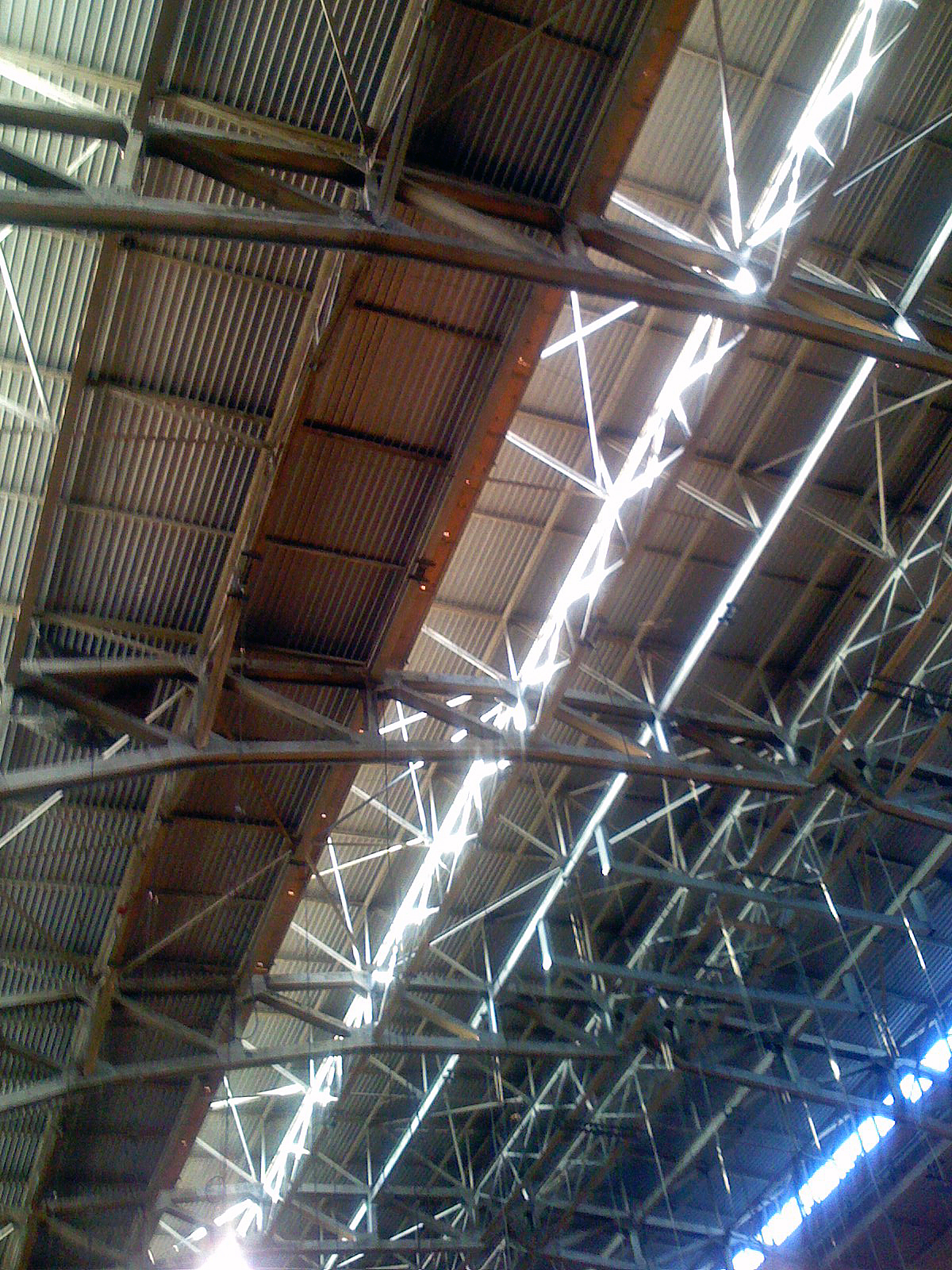
A girder () is a support beam used in construction. It is the main horizontal support of a structure which supports smaller beams. Girders often have an I-beam cross section composed of two load-bearing ''flanges'' separated by a stabilizing ''web'', but may also have a box shape, Z shape, or other forms. Girders are commonly used to build bridges. A girt is a vertically aligned girder placed to resist shear loads. Small steel girders are rolled into shape. Larger girders (1 m/3 feet deep or more) are made as plate girders, welded or bolted together from separate pieces of steel plate. The Warren type girder replaces the solid web with an open latticework truss between the flanges. This arrangement combines strength with economy of materials, minimizing weight and thereby reducing loads and expense. Patented in 1848 by its designers James Warren and Willoughby Theobald Monzani, its structure consists of longitudinal members joined only by angled cross-members, formi ... [...More Info...] [...Related Items...] OR: [Wikipedia] [Google] [Baidu] |
Lightweight Concrete
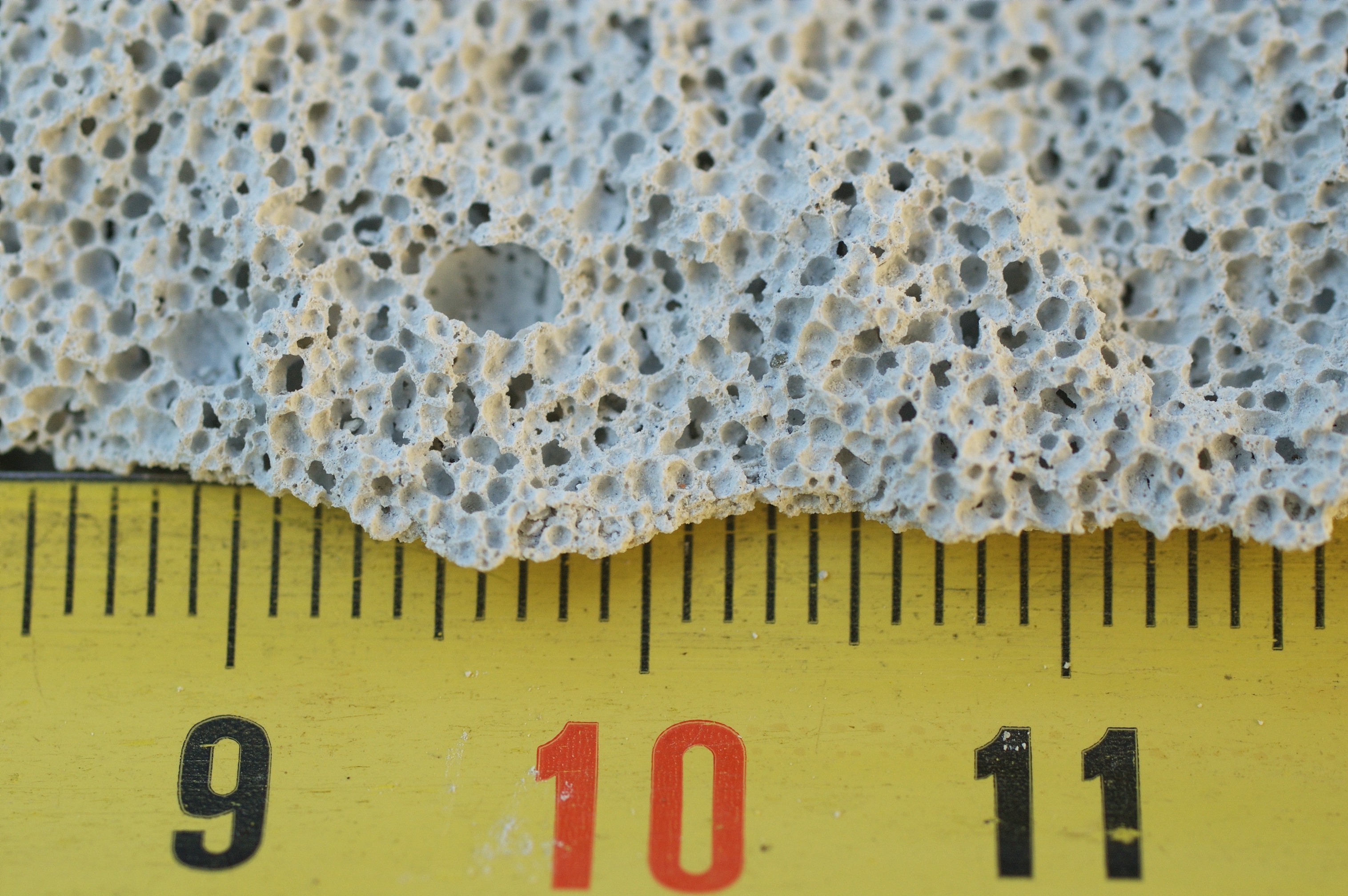
Autoclaved aerated concrete (AAC) is a lightweight, precast, foam concrete building material suitable for producing concrete masonry unit like blocks. Composed of quartz sand (SiO2 with impurities), calcined calcium sulfate (CaSO4, a.k.a. plaster of paris), lime (CaO), cement, water and aluminum powder, AAC products are cured under heat and pressure in an autoclave. Invented in the mid-1920s, AAC simultaneously provides structure, insulation, and fire- and mold-resistance. Forms include blocks, wall panels, floor and roof panels, cladding (façade) panels and lintels. AAC products may be used for both interior and exterior construction, and may be painted or coated with a stucco or plaster compound to guard against the elements, or covered with siding materials such as veneer brick or vinyl siding. In addition to their quick and easy installation, AAC materials can be routed, sanded, or cut to size on site using standard power tools with carbon steel cutters. Etymology O ... [...More Info...] [...Related Items...] OR: [Wikipedia] [Google] [Baidu] |


