|
Dreiskopf
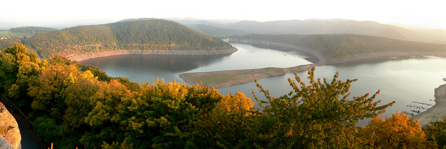
Dreiskopf (also called Treiskopf ) is a mountain near Schwalefeld, in the Waldeck-Frankenberg district, in Hesse, Germany. It has an elevation of 779.8 m above sea level, and it's a part of the Rothaar Mountains. Geographical location The Dreiskopf is located in the northeast part of the Rothaar Mountains on the border between Hochsauerland in the Westphalian Hochsauerlandkreis and Upland in the north Hessian district of Waldeck-Frankenberg. The mountain is located inside the Diemelsee nature park, and it's the highest point of the northern end of the mountain range, while Hohe Eimberg is the highest point on the southern end. Its summit lies on the state border, 3.5 km north of Willingen, 2.4 km north-northwest of Schwalefeld and 3 km southeast of Brilon. The Dreiskopf, located in the Brilon Forest, is traversed by the Hoppecke in the west, which flows in a south-north direction, and by the Itter in the east, which runs in the same direction. Both rivers are tributaries ... [...More Info...] [...Related Items...] OR: [Wikipedia] [Google] [Baidu] |
Landkreis Waldeck-Frankenberg
Waldeck-Frankenberg is a ''Kreis'' (district) in the north of Hesse, Germany. Neighbouring districts are Höxter, Kassel, Schwalm-Eder, Marburg-Biedenkopf, Siegen-Wittgenstein, Hochsauerland. History The district was created in 1972 by merging the two districts of Frankenberg and Waldeck. Most of the area of the district was previously part of the ''Freistaat Waldeck'', the successor of the principality of Waldeck. Geography The district is located in the mountains of the Sauerland, with the highest elevation in the district of . With , it's the largest district in Hessen. Four artificial lakes created by dams are in the district, the biggest is the Edersee, which covers an area of . The Eder is also the main river in the district; the Diemel in the north is a smaller river. Mountains * Sähre Coat of arms ; Blason :''“Per bend sinister Azure a lion rampant issuant per fess Argent and Gules and Or a star with eight rays Sable.”'' The coat of arms shows the lion of Hess ... [...More Info...] [...Related Items...] OR: [Wikipedia] [Google] [Baidu] |
Hesse
Hesse (, , ) or Hessia (, ; german: Hessen ), officially the State of Hessen (german: links=no, Land Hessen), is a States of Germany, state in Germany. Its capital city is Wiesbaden, and the largest urban area is Frankfurt. Two other major historic cities are Darmstadt and Kassel. With an area of 21,114.73 square kilometers and a population of just over six million, it ranks seventh and fifth, respectively, among the sixteen German states. Frankfurt Rhine-Main, Germany's second-largest metropolitan area (after Rhine-Ruhr), is mainly located in Hesse. As a cultural region, Hesse also includes the area known as Rhenish Hesse (Rheinhessen) in the neighbouring state of Rhineland-Palatinate. Name The German name '':wikt:Hessen#German, Hessen'', like the names of other German regions (''Schwaben'' "Swabia", ''Franken'' "Franconia", ''Bayern'' "Bavaria", ''Sachsen'' "Saxony"), derives from the dative plural form of the name of the inhabitants or German tribes, eponymous tribe, the Hes ... [...More Info...] [...Related Items...] OR: [Wikipedia] [Google] [Baidu] |
Germany
Germany,, officially the Federal Republic of Germany, is a country in Central Europe. It is the second most populous country in Europe after Russia, and the most populous member state of the European Union. Germany is situated between the Baltic and North seas to the north, and the Alps to the south; it covers an area of , with a population of almost 84 million within its 16 constituent states. Germany borders Denmark to the north, Poland and the Czech Republic to the east, Austria and Switzerland to the south, and France, Luxembourg, Belgium, and the Netherlands to the west. The nation's capital and most populous city is Berlin and its financial centre is Frankfurt; the largest urban area is the Ruhr. Various Germanic tribes have inhabited the northern parts of modern Germany since classical antiquity. A region named Germania was documented before AD 100. In 962, the Kingdom of Germany formed the bulk of the Holy Roman Empire. During the 16th ce ... [...More Info...] [...Related Items...] OR: [Wikipedia] [Google] [Baidu] |
Waldeck-Frankenberg
Waldeck-Frankenberg is a ''Kreis'' (district) in the north of Hesse, Germany. Neighbouring districts are Höxter, Kassel, Schwalm-Eder, Marburg-Biedenkopf, Siegen-Wittgenstein, Hochsauerland. History The district was created in 1972 by merging the two districts of Frankenberg and Waldeck. Most of the area of the district was previously part of the ''Freistaat Waldeck'', the successor of the principality of Waldeck. Geography The district is located in the mountains of the Sauerland, with the highest elevation in the district of . With , it's the largest district in Hessen. Four artificial lakes created by dams are in the district, the biggest is the Edersee, which covers an area of . The Eder is also the main river in the district; the Diemel in the north is a smaller river. Mountains * Sähre Coat of arms ;Blason :''“Per bend sinister Azure a lion rampant issuant per fess Argent and Gules and Or a star with eight rays Sable.”'' The coat of arms shows the lion of Hesse i ... [...More Info...] [...Related Items...] OR: [Wikipedia] [Google] [Baidu] |
Rothaar Mountains
The Rothaar Mountains (german: Rothaargebirge, , also ''Rotlagergebirge''), or Rothaar, is a low mountain range reaching heights of up to 843.1 m in North Rhine-Westphalia and Hesse, Germany. It is believed that its name must once have been ''Rod-Hard-Gebirge'', or "the cleared forest mountain range", as the range has nothing whatsoever to do with the colour red (''rot'' in German), nor with hair (''Haar''). Geography Location The thickly wooded Rothaar, rich in mineral deposits, is found (mostly) in Westphalia sandwiched between the Sauerland Mountain Range to the north, the Upland mountain range (northeastern foothills of the Rothaar) to the northeast, Wittgenstein Land to the southeast and the Siegerland to the southwest. The range's southeastern foothills are lies in Hesse, and is the only part that lies outside of Westphalia. It stretches from the upper Eder and the Lenne from the ''Kahler Asten'' (841 m) southwest of the Winterberg Tableland (''Winterber ... [...More Info...] [...Related Items...] OR: [Wikipedia] [Google] [Baidu] |
Hoher Eimberg
Hoher Eimberg is a mountain of Landkreis Waldeck-Frankenberg, Hesse, Germany Germany,, officially the Federal Republic of Germany, is a country in Central Europe. It is the second most populous country in Europe after Russia, and the most populous member state of the European Union. Germany is situated betwe .... Mountains of Hesse {{Hesse-geo-stub ... [...More Info...] [...Related Items...] OR: [Wikipedia] [Google] [Baidu] |
Willingen
Willingen (official name: ''Willingen (Upland)'') is a municipality in Waldeck-Frankenberg in northern Hesse, Germany, some 80 km west of Kassel. Geography Location Willingen is found in Waldeck-Frankenberg district in the Upland. Its main town stretches between two river valleys, the Hoppecke in the west and the Itter in the east. The ski resort Skigebiet Willingen is near. It is located 60 km west of Kassel. Mühlenkopfschanze ski jump is also located here. Neighbouring communities Willingen borders in the north on the community of Diemelsee, in the east on the town of Korbach, in the south on the community of Medebach, and in the west on the towns of Winterberg, Olsberg and Brilon (all three in the Hochsauerlandkreis in North Rhine-Westphalia). Constituent communities Willingen consists of the following centres: * Bömighausen, 300 inhabitants (as of 1 September 2003) * Eimelrod, 582 inhabitants (as of 31. December 2006) * Hemmighausen, 100 inhabitants * Neer ... [...More Info...] [...Related Items...] OR: [Wikipedia] [Google] [Baidu] |
Brilon
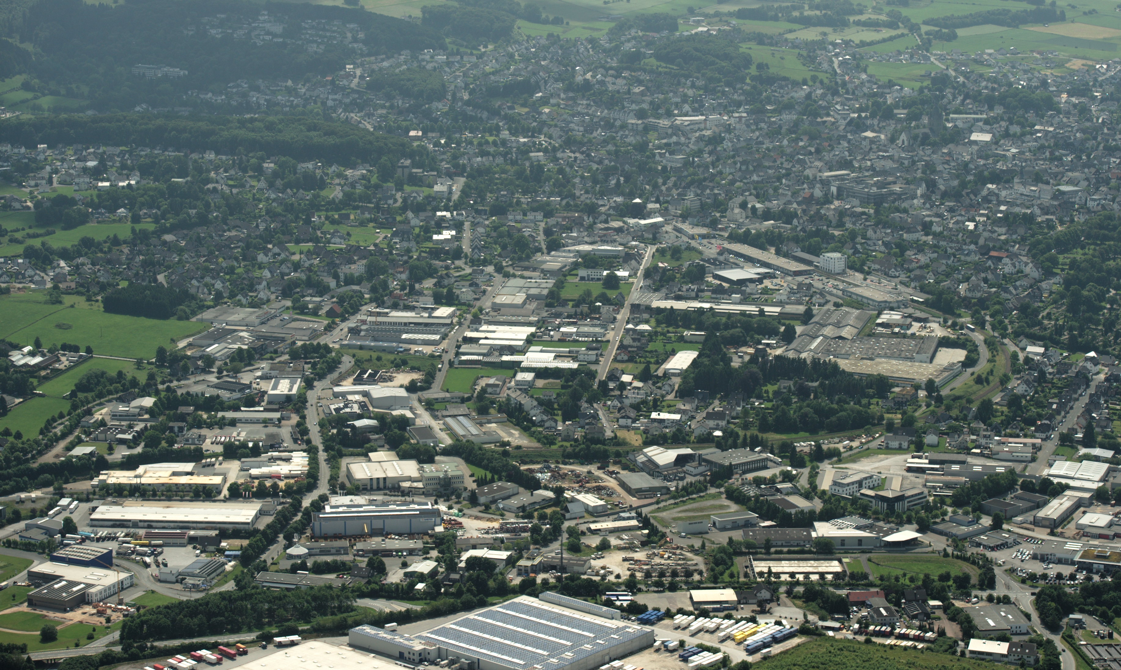
Brilon (; Westphalian: ''Brailen'') is a town in North Rhine-Westphalia, central Germany, that belongs to the Hochsauerlandkreis. Geography Brilon is situated on the Brilon Heights at an altitude of about 450 m on the upper reaches of the river Möhne. The town lies between the Arnsberg Forest nature reserve to the west and the Lake Diemel nature reserve and the Hoppecke to the south-east. Neighboring municipalities Division of the town After the local government reforms of 1975 Brilon consists of 17 districts: * Alme (1.273 inhabitants) * Altenbüren (1.453 inhabitants) * Bontkirchen (553 inhabitants) * Brilon Town (14.513 inhabitants) * Brilon-Wald (595 inhabitants) * Esshoff (80 inhabitants) * Gudenhagen/Petersborn (1.273 inhabitants) * Hoppecke (1.330 inhabitants) * Madfeld (1.395 inhabitants) * Messinghausen (898 inhabitants) * Nehden (503 inhabitants) * Radlinghausen (129 inhabitants) * Rixen (143 inhabitants) * Rösenbeck (858 inhabitants) * Scharfenberg (1.533 ... [...More Info...] [...Related Items...] OR: [Wikipedia] [Google] [Baidu] |
Hoppecke
Hoppecke is a river in North Rhine-Westphalia and Hesse, Germany. It flows into the Diemel near Marsberg. See also *List of rivers of Hesse A list of rivers of Hesse, Germany: A * Aar, tributary of the Dill * Aar, tributary of the Lahn * Aar, tributary of the Twiste *Aarbach *Affhöllerbach * Ahlersbach, tributary of the Kinzig in Schlüchtern-Herolz * Ahlersbach, tributary of the K ... References Rivers of Hesse Rivers of North Rhine-Westphalia Rivers of Germany {{NorthRhineWestphalia-river-stub ... [...More Info...] [...Related Items...] OR: [Wikipedia] [Google] [Baidu] |
Itter (Diemel)
Itter is a river of Hesse and of North Rhine-Westphalia, Germany. It is a left tributary of the Diemel. It flows through Willingen. See also *List of rivers of Hesse *List of rivers of North Rhine-Westphalia A list of rivers of North Rhine-Westphalia, Germany: A * Aa, left tributary of the Möhne * Aa, left tributary of the Nethe * Aa, left tributary of the Werre * Aabach, tributary of the Afte * Aabach, small river in the Ems river system * Abbabac ... References Rivers of Hesse Rivers of North Rhine-Westphalia Rivers of Germany {{NorthRhineWestphalia-river-stub ... [...More Info...] [...Related Items...] OR: [Wikipedia] [Google] [Baidu] |
Diemel
The Diemel is a river in Hesse and North Rhine-Westphalia, Germany. It is a left tributary of the Weser. Route The source of the Diemel is near Willingen, in Sauerland. The Diemel flows generally northeast through the towns Marsberg, Warburg, and Trendelburg. It flows into the Weser in Bad Karlshafen Bad Karlshafen () is a baroque, thermal salt spa town in the district of Kassel, in Hesse, Germany. It has 2300 inhabitants in the main ward of Bad Karlshafen, and a further 1900 in the medieval village of Helmarshausen. It is situated at the co .... References Rivers of Hesse Rivers of North Rhine-Westphalia Sauerland Rivers of Germany {{Hesse-river-stub ... [...More Info...] [...Related Items...] OR: [Wikipedia] [Google] [Baidu] |
Bremecke (Hoppecke)
Bremecke is a river of North Rhine-Westphalia, Germany. It is a right tributary of the Hoppecke. See also *List of rivers of North Rhine-Westphalia A list of rivers of North Rhine-Westphalia, Germany: A * Aa, left tributary of the Möhne * Aa, left tributary of the Nethe * Aa, left tributary of the Werre * Aabach, tributary of the Afte * Aabach, small river in the Ems river system * Abbabac ... References Rivers of North Rhine-Westphalia Rivers of Germany {{NorthRhineWestphalia-river-stub ... [...More Info...] [...Related Items...] OR: [Wikipedia] [Google] [Baidu] |


