|
Down End Castle
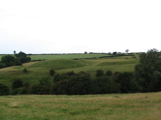
Down End Castle, also known as Downend Castle, Chisley Mount or Chidley Mount, was a motte-and-bailey castle at Down End, north of Dunball in the parish of Puriton, Somerset, England. It has been designated as a Scheduled Ancient Monument. History Down End Castle was built at Down End, north of Dunball in Somerset, England. The castle has a motte and bailey design, with the two baileys lying to the north of the motte; the inner bailey has one bank and the outer one a double bank. The mound measures across the top, and may have exploited an existing Viking site. The castle was once fed water by a natural spring at the base of the motte. Recent academic work has suggested that the castle was built around 1100, after the surrounding region of Somerset had become stable in the years following the Norman invasion of England and the subsequent Anglo-Saxon rebellion against Norman rule. The location Down End was strategically well placed, as the nearby Parrett is an important tid ... [...More Info...] [...Related Items...] OR: [Wikipedia] [Google] [Baidu] |
Dunball
Dunball is a small hamlet west of the village of Puriton and close to the town of Bridgwater, Somerset, England. Just north of Dunball is Down End which is the site of Down End Castle a motte-and-bailey castle, which has been designated as a Scheduled Ancient Monument. Located on the A38, adjacent to Junction 23 of the M5 motorway, it hosts a wharf on the River Parrett, created in 1844 by Bridgwater coal merchants, which is the only part of the Port of Bridgwater still in commercial use today. Dunball also has a small industrial estate, built on the site of the Royal Ordnance Factory's hostel blocks; and a hotel. The wharf was formerly linked to the Bristol and Exeter Railway by a rail track which crossed the A38, on the right hand side of the hotel. The link was built in 1876 by coal merchants, and was originally operated as a horse-drawn tramway. It was removed during the Beeching Axe and Dunball also lost its railway station on 5 October 1964, which had opened in 1873. The ... [...More Info...] [...Related Items...] OR: [Wikipedia] [Google] [Baidu] |
River Parrett
The River Parrett flows through the counties of Dorset and Somerset in South West England, from its source in the Thorney Mills springs in the hills around Chedington in Dorset. Flowing northwest through Somerset and the Somerset Levels to its mouth at Burnham-on-Sea, into the Bridgwater Bay nature reserve on the Bristol Channel, the Parrett and its tributaries drain an area of – about 50 per cent of Somerset's land area, with a population of 300,000. The Parrett's main tributaries include the Rivers Tone, Isle, and Yeo, and the River Cary via the King's Sedgemoor Drain. The long river is tidal for up to Oath. The fall of the river between Langport and Bridgwater is only , so it is prone to frequent flooding in winter and during high tides. Many approaches have been tried since at least the medieval period to reduce the incidence and effect of floods and to drain the surrounding fields. In Anglo-Saxon times the river formed a boundary between Wessex and Dumn ... [...More Info...] [...Related Items...] OR: [Wikipedia] [Google] [Baidu] |
List Of Castles In England
This list of castles in England is not a list of every building and site that has "castle" as part of its name, nor does it list only buildings that conform to a strict definition of a castle as a medieval fortified residence. It is not a list of every castle ever built in England, many of which have vanished without trace, but is primarily a list of buildings and remains that have survived. In almost every case the buildings that survive are either ruined, or have been altered over the centuries. For several reasons, whether a given site is that of a medieval castle has not been taken to be a sufficient criterion for determining whether or not that site should be included in the list. Castles that have vanished or whose remains are barely visible are not listed, except for some important or well-known buildings and sites. Fortifications from before the medieval period are not listed, nor are architectural follies. In other respects it is difficult to identify clear and cons ... [...More Info...] [...Related Items...] OR: [Wikipedia] [Google] [Baidu] |
Castles In Great Britain And Ireland
Castles have played an important military, economic and social role in Great Britain and Ireland since their introduction following the Norman invasion of England in 1066. Although a small number of castles had been built in England in the 1050s, the Normans began to build motte and bailey and ringwork castles in large numbers to control their newly occupied territories in England and the Welsh Marches. During the 12th century the Normans began to build more castles in stone – with characteristic square keep – that played both military and political roles. Royal castles were used to control key towns and the economically important forests, while baronial castles were used by the Norman lords to control their widespread estates. David I invited Anglo-Norman lords into Scotland in the early 12th century to help him colonise and control areas of his kingdom such as Galloway; the new lords brought castle technologies with them and wooden castles began to be established over ... [...More Info...] [...Related Items...] OR: [Wikipedia] [Google] [Baidu] |
Scheduled Monument
In the United Kingdom, a scheduled monument is a nationally important archaeological site or historic building, given protection against unauthorised change. The various pieces of legislation that legally protect heritage assets from damage and destruction are grouped under the term "designation." The protection provided to scheduled monuments is given under the Ancient Monuments and Archaeological Areas Act 1979, which is a different law from that used for listed buildings (which fall within the town and country planning system). A heritage asset is a part of the historic environment that is valued because of its historic, archaeological, architectural or artistic interest. Only some of these are judged to be important enough to have extra legal protection through designation. There are about 20,000 scheduled monuments in England representing about 37,000 heritage assets. Of the tens of thousands of scheduled monuments in the UK, most are inconspicuous archaeological sites, but ... [...More Info...] [...Related Items...] OR: [Wikipedia] [Google] [Baidu] |
Bridgwater Castle
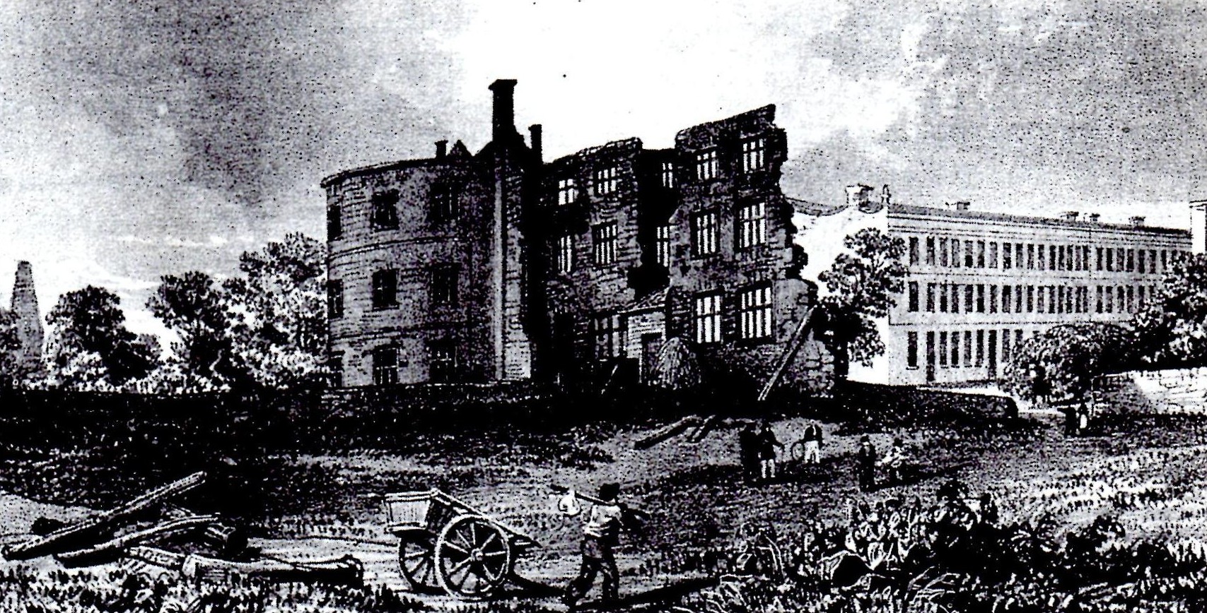
Bridgwater Castle was a castle in the town of Bridgwater, Somerset, England. The stone castle was built around 1220 and contributed to the development of the town. It was surrounded by a moat and included a watergate giving access to the quay. In the 13th and 14th centuries the castle was involved in the Second Barons' War and Despenser War. It then fell into ruin and parts were demolished in the first half of the 17th century and a new house built. Some of the walls survived and it played a minor role in the English Civil War and Monmouth Rebellion. In the later 17th and early 18th centuries many of the remaining buildings were demolished and new residential and industrial buildings constructed, giving its name to Castle Street. The watergate and some sections of wall survive. Early history The castle was built early in the 13th century by William Brewer, like several other castle-builders of the period, an exceptionally wealthy man. He was granted the lordship of the Ma ... [...More Info...] [...Related Items...] OR: [Wikipedia] [Google] [Baidu] |
Bridgwater
Bridgwater is a large historic market town and civil parish in Somerset, England. Its population currently stands at around 41,276 as of 2022. Bridgwater is at the edge of the Somerset Levels, in level and well-wooded country. The town lies along both sides of the River Parrett; it has been a major inland port and trading centre since the industrial revolution. Most of its industrial bases still stand today. Its larger neighbour, Taunton, is linked to Bridgwater via a canal, the M5 motorway and the GWR railway line. Historically, the town had a politically radical tendency. The Battle of Sedgemoor, where the Monmouth Rebellion was finally crushed in 1685, was fought nearby. Notable buildings include the Church of St Mary and Blake Museum, which is a largely restored house in Blake Street and was the birthplace of Admiral Blake in 1598. The town has an arts centre and plays host to the annual Bridgwater Guy Fawkes Carnival. Etymology It is thought that the town was original ... [...More Info...] [...Related Items...] OR: [Wikipedia] [Google] [Baidu] |
Castle Neroche
Castle Neroche is a Norman motte-and-bailey castle on the site of an earlier hill fort in the parish of Curland, near Staple Fitzpaine, Somerset, England. It is a Scheduled Ancient Monument. Location The hill rises to on the northern escarpment of the Blackdown Hills. The area is part of a site covered by a landscape partnership, known as the Neroche Scheme which is establishing trails and a public forest. It is managed by Forestry England and supported by the Heritage Lottery Fund and local organisations. History The origin of the term Neroche is believed to be a contraction of the Old English words ''nierra'' and ''rechich'' or ''rachich'' for Rache, a type of hunting-dog used in Britain in the Middle Ages, giving a meaning of the ''camp where hunting dogs were kept''. This also gives the site its alternative name of Castle Rache. Iron Age The reason for the construction of Iron Age hill forts has been a subject of debate. It has been argued that they could have been mi ... [...More Info...] [...Related Items...] OR: [Wikipedia] [Google] [Baidu] |
Stowey Castle
Stowey Castle (or Nether Stowey Castle known locally as The Mount) was a Norman motte-and-bailey castle, built in the 11th century, in the village of Nether Stowey on the Quantock Hills in Somerset, England. It has been designated as a Scheduled Monument, the foundations of the keep are also a Grade I listed building. Details The Castle is sited on a small isolated knoll of Leighland Slates of the Devonian series, about high. It consisted of a square keep, (which may have been stone, or a wooden superstructure on stone foundations) and its defences, and an outer and an inner bailey. The mount is above the wide ditch which itself is deep. The motte has a flat top. Central area occupied by approximately square foundations by with internal divisions. Alfred of Spain is the Norman Lord of Stowey recorded in Domesday and the building of the castle is normally attributed to him or to his daughter Isabel. The earliest written reference to the castle is in a forged charter of 1 ... [...More Info...] [...Related Items...] OR: [Wikipedia] [Google] [Baidu] |
Norman Invasion Of England
The Norman Conquest (or the Conquest) was the 11th-century invasion and occupation of England by an army made up of thousands of Norman, Breton, Flemish, and French troops, all led by the Duke of Normandy, later styled William the Conqueror. William's claim to the English throne derived from his familial relationship with the childless Anglo-Saxon king Edward the Confessor, who may have encouraged William's hopes for the throne. Edward died in January 1066 and was succeeded by his brother-in-law Harold Godwinson. The Norwegian king Harald Hardrada invaded northern England in September 1066 and was victorious at the Battle of Fulford on 20 September, but Godwinson's army defeated and killed Hardrada at the Battle of Stamford Bridge on 25 September. Three days later on 28 September, William's invasion force of thousands of men and hundreds of ships landed at Pevensey in Sussex in southern England. Harold marched south to oppose him, leaving a significant portion of his army ... [...More Info...] [...Related Items...] OR: [Wikipedia] [Google] [Baidu] |
Puriton
Puriton is a village and parish at the westerly end of the Polden Hills, in the Sedgemoor district of Somerset, England. The parish has a population of 1,968. The local parish church is dedicated to St Michael and All Angels. A chapel on Woolavington Road was converted to a private house some 20 years ago. The parish includes the hamlets of Dunball and Down End. In 1996, the village was described as "now becoming a rural commuter village".Hollingrake, Charles and Nancy (1996). ''A Desk Top Survey on Land Proposed for Roadside Services on the A39 Puriton Hill, Puriton, Bridgwater''. Glastonbury: Charles and Nancy Hollingrake (Report No. 78), on behalf of Lyndon Brett Partnership, page 11. The built-up area is mostly between 5 and 50 metres above sea level. The village has a full range of facilities, such as a primary school, parish church, pub, post office, butcher and hairdresser. It started to expand considerably in the 1960s and 1970s when new houses were built on former f ... [...More Info...] [...Related Items...] OR: [Wikipedia] [Google] [Baidu] |
Spring (hydrosphere)
A spring is a point of exit at which groundwater from an aquifer flows out on top of Earth's crust (pedosphere) and becomes surface water. It is a component of the hydrosphere. Springs have long been important for humans as a source of fresh water, especially in arid regions which have relatively little annual rainfall. Springs are driven out onto the surface by various natural forces, such as gravity and hydrostatic pressure. Their yield varies widely from a volumetric flow rate of nearly zero to more than for the biggest springs. Formation Springs are formed when groundwater flows onto the surface. This typically happens when the groundwater table reaches above the surface level. Springs may also be formed as a result of karst topography, aquifers, or volcanic activity. Springs also have been observed on the ocean floor, spewing hot water directly into the ocean. Springs formed as a result of karst topography create karst springs, in which ground water travels throu ... [...More Info...] [...Related Items...] OR: [Wikipedia] [Google] [Baidu] |


