|
Dollis Valley Greenwalk
The Dollis Valley Greenwalk (or Green Walk) is a footpath route in the London Borough of Barnet in London, England, between Moat Mount Nature Reserve in Mill Hill and Hampstead Heath. The route is designed to act as a link between the Capital Ring and the London Loop, and between the many green spaces and wildlife corridors along the way. It is approximately long. It mainly follows the Dollis Brook and is one of the many parks and open spaces in Barnet. History Dollis Valley Greenwalk is based on the Brookside Walk, built by Finchley Council (now part of Barnet) in the 1930s. It was the brainchild of leading Finchley Councillor, Alfred Pike, and followed Mutton Brook west from Falloden Way to its junction with Dollis Brook, and then the Dollis north to the Finchley boundary in Wyatts Farm Open Space, opposite Walfield Avenue. Mutton Brook was the southern boundary of the borough and Dollis Brook the western one, and the walk was almost all built on the Finchley side. At Wes ... [...More Info...] [...Related Items...] OR: [Wikipedia] [Google] [Baidu] |
London Borough Of Barnet
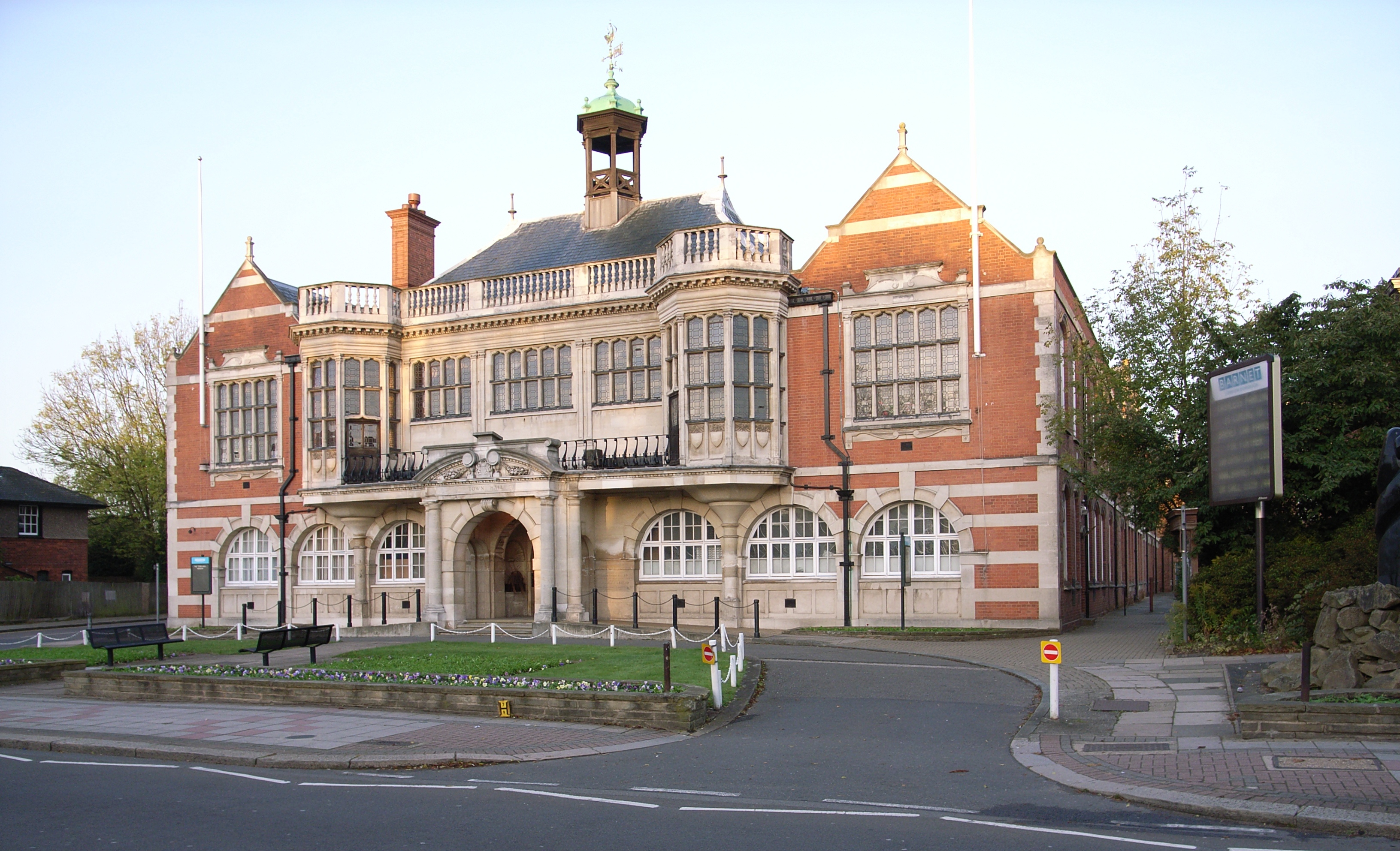
The London Borough of Barnet () is a suburban London boroughs, London borough in North London. The borough was formed in 1965 from parts of the ceremonial counties of Middlesex and Hertfordshire. It forms part of Outer London and is the largest London borough by population with 384,774 inhabitants, also making it the 13th largest List of English districts by population, district in England. The borough covers an area of , the fourth highest of the 32 London boroughs, and has a population density of 45.8 people per hectare, which ranks it 25th. Barnet borders the Hertfordshire district of Hertsmere to the north and five other London boroughs: London Borough of Camden, Camden and London Borough of Haringey, Haringey to the southeast, London Borough of Enfield, Enfield to the east, as well as London Borough of Harrow, Harrow and London Borough of Brent, Brent to the west of the ancient Watling Street (now the A5 road). The borough's major urban settlements are Hendon, Finchley, Gol ... [...More Info...] [...Related Items...] OR: [Wikipedia] [Google] [Baidu] |
Mayor Of London
The mayor of London is the chief executive of the Greater London Authority. The role was created in 2000 after the 1998 Greater London Authority referendum, Greater London devolution referendum in 1998, and was the first Directly elected mayors in England and Wales, directly elected mayor in the United Kingdom. The current mayor is Sadiq Khan, who took office on 9 May 2016. The position was held by Ken Livingstone from the creation of the role on 4 May 2000 until he was defeated in May 2008 by Boris Johnson, who then also served two terms before being succeeded by Khan. The mayor is scrutinised by the London Assembly and, supported by their Deputy Mayor of London, Mayoral Cabinet, directs the entirety of London, including the City of London (for which there is also the Lord Mayor of the City of London). Each London boroughs, London Borough also has a ceremonial mayor or, Mayor of Hackney, in Hackney, Mayor of Lewisham, Lewisham, Mayor of Newham, Newham and Mayor of Tower Ham ... [...More Info...] [...Related Items...] OR: [Wikipedia] [Google] [Baidu] |
Totteridge And Whetstone Tube Station
Totteridge & Whetstone () is a London Underground station in Whetstone in the London Borough of Barnet, North London. The station is the penultimate one on the High Barnet branch of the Northern line, between High Barnet and Woodside Park stations, in . It was first built in 1872. It is on the north side of Totteridge Lane ( A5109), to the east of the Dollis Brook, the traditional boundary between Totteridge and Whetstone, so narrowly in the latter. History The Totteridge & Whetstone station was planned by the Edgware, Highgate and London Railway (EH&LR) and was originally opened as Whetstone and Totteridge on 1 April 1872 by the Great Northern Railway (which had taken over the EH&LR). The station was on a branch of a line whose main part ran from Finsbury Park to Edgware via Highgate. After the 1921 Railways Act created the ''Big Four'' railway companies the line was, from 1923, part of the London and North Eastern Railway (LNER). The section of the High Barnet branch no ... [...More Info...] [...Related Items...] OR: [Wikipedia] [Google] [Baidu] |
A406 Road
The North Circular Road (officially the A406 and sometimes known as simply the North Circular) is a ring road around Central London in England. It runs from Chiswick in the west to Woolwich in the east via suburban North London, connecting various suburbs and other trunk roads in the region. Together with its counterpart, the A205 South Circular Road, it forms a ring road around central London. This ring road does not make a complete circuit of the city, being C-shaped rather than a complete loop as the crossing of the River Thames in the east is made on the Woolwich Ferry. Design The road was originally designed to connect local industrial communities together in addition to bypassing London, and was constructed in the 1920s and 1930s. It received significant upgrades after World War II, and was at one point planned to be upgraded to motorway as part of the controversial and ultimately cancelled London Ringways scheme in the late 1960s. In the early 1990s, the road was e ... [...More Info...] [...Related Items...] OR: [Wikipedia] [Google] [Baidu] |
Finchley Road
Finchley Road is a designated arterial road in north-west London, England. The Finchley Road starts in St John's Wood near central London as part of the A41; its southern half is a major dual carriageway with high traffic levels often frequented by lorries and long-distance coaches as it connects central London, via the A41 Hendon Way, to the M1 motorway at Brent Cross and other roads at that interchange. Its northern half, which dissects away from the A41 and is designated as the A598, runs through suburban areas via the centre of Golders Green to Henlys Corner, where the road north of it leads to Finchley, from which Finchley Road gets its name from. Its southern half, in which it gives its name to the centre-west part of Hampstead, has two current railway stations including the name ''Finchley Road''. London Buses route 13 runs through the entire road, while the route 113 runs only in its southern half. History Originally named Finchley New Road, it was built as a ... [...More Info...] [...Related Items...] OR: [Wikipedia] [Google] [Baidu] |
A1 Road (London)
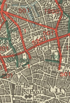
The A1 in London is the southern part of the A1 road. It starts at Aldersgate in the City of London, passing through the capital to Borehamwood on the northern fringe of Greater London, before continuing to Edinburgh. The road travels through the City and three London boroughs: Islington, Haringey and Barnet, which include the districts of Islington, Holloway, Highgate, Hendon and Mill Hill, and travels along Upper Street and Holloway Road, crossing the North Circular Road in Hendon, a district in the London Borough of Barnet. The A1 is the most recent in a series of routes north out of London to York and beyond. It was designated in 1921 by the Ministry of Transport under the Great Britain road numbering scheme, comprising existing roads and streets, mostly historic, and later using stretches of purpose-built new roads in what is now the outer London borough of Barnet. The Archway Road section was built by Thomas Telford using Roman cement and gravel, an innovative techniq ... [...More Info...] [...Related Items...] OR: [Wikipedia] [Google] [Baidu] |
Waymarking
Trail blazing or way marking is the practice of marking paths in outdoor recreational areas with signs or markings that follow each other at certain, though not necessarily exactly defined, distances and mark the direction of the trail. A blaze in the beginning meant "a mark made on a tree by slashing the bark" (''The Canadian Oxford Dictionary''). Originally a waymark was "any conspicuous object which serves as a guide to travellers; a landmark" (''Oxford English Dictionary''). There are several ways of marking trails, including paint, carvings, affixed markers, posts, flagging, cairns, and crosses, with paint being the most widely used. Types of signage Paint A painted marking of a consistent shape or shapes (often rectangular), dimension and colour or combination of colours is used along the trail route. The system by which blazes are used to signify turns and endpoints in trails (see below) strongly favors the use of paint blazes. European countries usually use systems ... [...More Info...] [...Related Items...] OR: [Wikipedia] [Google] [Baidu] |
Hampstead Garden Suburb
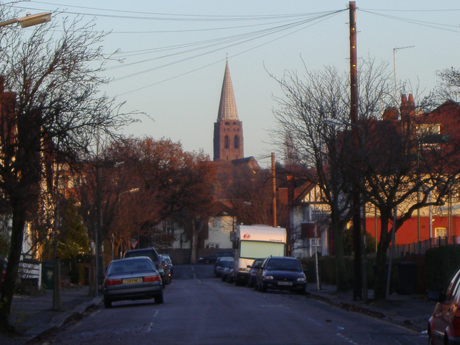
Hampstead Garden Suburb is an elevated suburb of London, north of Hampstead, west of Highgate and east of Golders Green. It is known for its intellectual, liberal, artistic, musical and literary associations. It is an example of early twentieth-century domestic architecture and town planning in the London Borough of Barnet, northwest London. The master plan was prepared by Richard Barry Parker, Barry Parker and Sir Raymond Unwin. Comprising just over 5,000 properties, and home to around 16,000 people, undivided houses with individual gardens are a key feature. The area enjoys landscaped Squares in London, garden squares, several communal parks and Hampstead Heath Extension. History Hampstead Garden Suburb was founded by Henrietta Barnett, who, with her husband Samuel Augustus Barnett, Samuel, had started the Whitechapel Art Gallery and Toynbee Hall. In 1906, Barnett set up the Hampstead Garden Suburb Trust Ltd, which purchased 243 acres of land from Eton College for the schem ... [...More Info...] [...Related Items...] OR: [Wikipedia] [Google] [Baidu] |
River Brent
The River Brent is a river in west and northwest London, England, and a tributary of the River Thames. in length, it rises in the Borough of Barnet and flows in a generally south-west direction before joining the Tideway stretch of the Thames at Brentford. Hydronymy and etymology A letter from the Bishop of London in 705 suggesting a meeting at Breġuntford, now Brentford, is the earliest record of this place and probably therefore that of the river, suggesting that the name may be related to the Celtic *''brigant-'' meaning "high" or "elevated" perhaps linked to the goddess BrigantiaCanham, Roy; Glanville G H (1978). ''A London Museum Archaeological Report: 2000 years of Brentford''. Ch 2; pg 3. Her Majesty's Stationery Office. Geology, topography and natural history The River Thames can first be identified as a discrete drainage line as early as 58 million years ago, in the Thanetian stage of the late Palaeocene epoch. Until around half a million years ago, the ... [...More Info...] [...Related Items...] OR: [Wikipedia] [Google] [Baidu] |
Dollis Brook Viaduct
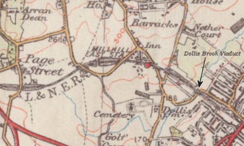
The Dollis Brook Viaduct, also known as the Dollis Road Viaduct, Dollis Viaduct or Mill Hill Viaduct, is a railway viaduct to the west of Finchley, North London, United Kingdom. It carries the London Underground's Northern line from Mill Hill East station to Finchley Central station. It is the highest point on the London Underground above ground level, reaching nearly . It is located on a branch that was formerly part of the Edgware, Highgate and London Railway. Etymology The official name of the viaduct is taken from Dollis Brook which it crosses. The brook was marked on an 1877 Ordnance Survey map and the name may have originated from a farm called Dollis, previously in Hendon. This was earlier named Dalys in 1563, (the) Doles 1574, Dallys 1584 and in its current form of Dollis in 1822. This probably meant "the portions or shares of land (in the common field)", from the Middle English word dole. The name is not thought to be connected with the area of Dollis Hill, further s ... [...More Info...] [...Related Items...] OR: [Wikipedia] [Google] [Baidu] |
Woodside Park (Barnet, London)
Woodside Park is a suburban residential area in London. It is located in the London Borough of Barnet, in the North Finchley London postal district, postal district of N12. Description The area to the east of the Woodside Park tube station, tube station consists predominantly of large Victorian architecture, Victorian and Edwardian architecture, Edwardian houses, many of which have been converted into Flat (domicile), flats. It also contains Woodside Park Synagogue and a Jewish school operating from the synagogue. The western and north-western part of the area, which can also be regarded as the part of Totteridge in N12 rather than London N20, N20, is sometimes called Woodside Park Garden Suburb and consists of semi-detached or detached 3 to 4 bedroom houses built in the 1950s. It includes the Woodside Park Club. The eastern boundary of the Garden Suburb is the Dollis Brook and the southern boundary is the Folly Brook. To the south of this suburb is Woodside Park Garden Subur ... [...More Info...] [...Related Items...] OR: [Wikipedia] [Google] [Baidu] |
Whetstone, London
Whetstone is a place in the London Borough of Barnet, bearing the postcode N20. It is to the east of Totteridge, and these areas are known together as Totteridge and Whetstone. Whetstone is around 8.5 miles North of Charing Cross and is within the boundaries of the historic county of Middlesex. The combined areas of Totteridge and Whetstone was, at the outset of the 21st century, found to be the 63rd-richest of the more than 9,000 wards of the United Kingdom. The High Road is the A1000, formerly known as the Great North Road, parts of it still bear this name. Until the late 19th century its tiny developed area was one of two main settlements in the ancient parish of Friern Barnet, the other being Colney Hatch. It was thus the northernmost settlement in the Ossulstone hundred. Whetstone is also the northernmost part of the parish of Finchley. History Early history In medieval times the Hospitallers had a settlement nearby in Friern Barnet probably where Friary Park is n ... [...More Info...] [...Related Items...] OR: [Wikipedia] [Google] [Baidu] |
