|
Des Sources Station
Des Sources is a planned Réseau express métropolitain (REM) station in the city of Pointe-Claire Pointe-Claire (, ) is a Quebec local municipality within the Urban agglomeration of Montreal on the Island of Montreal in Canada. It is entirely developed, and land use includes residential, light manufacturing, and retail. As of the 2021 ce ..., Quebec, Canada, scheduled to open in the second quarter of 2024. It is planned to be operated by CDPQ Infra and to serve as a station of the Anse-à-l'Orme branch of the REM. The planned site is near the intersection of Des Sources Boulevard, its namesake, and Hymus Boulevard. References {{reflist Railway stations in Montreal Transport in Pointe-Claire Réseau express métropolitain railway stations Buildings and structures in Pointe-Claire Railway stations scheduled to open in 2024 ... [...More Info...] [...Related Items...] OR: [Wikipedia] [Google] [Baidu] |
Pointe-Claire
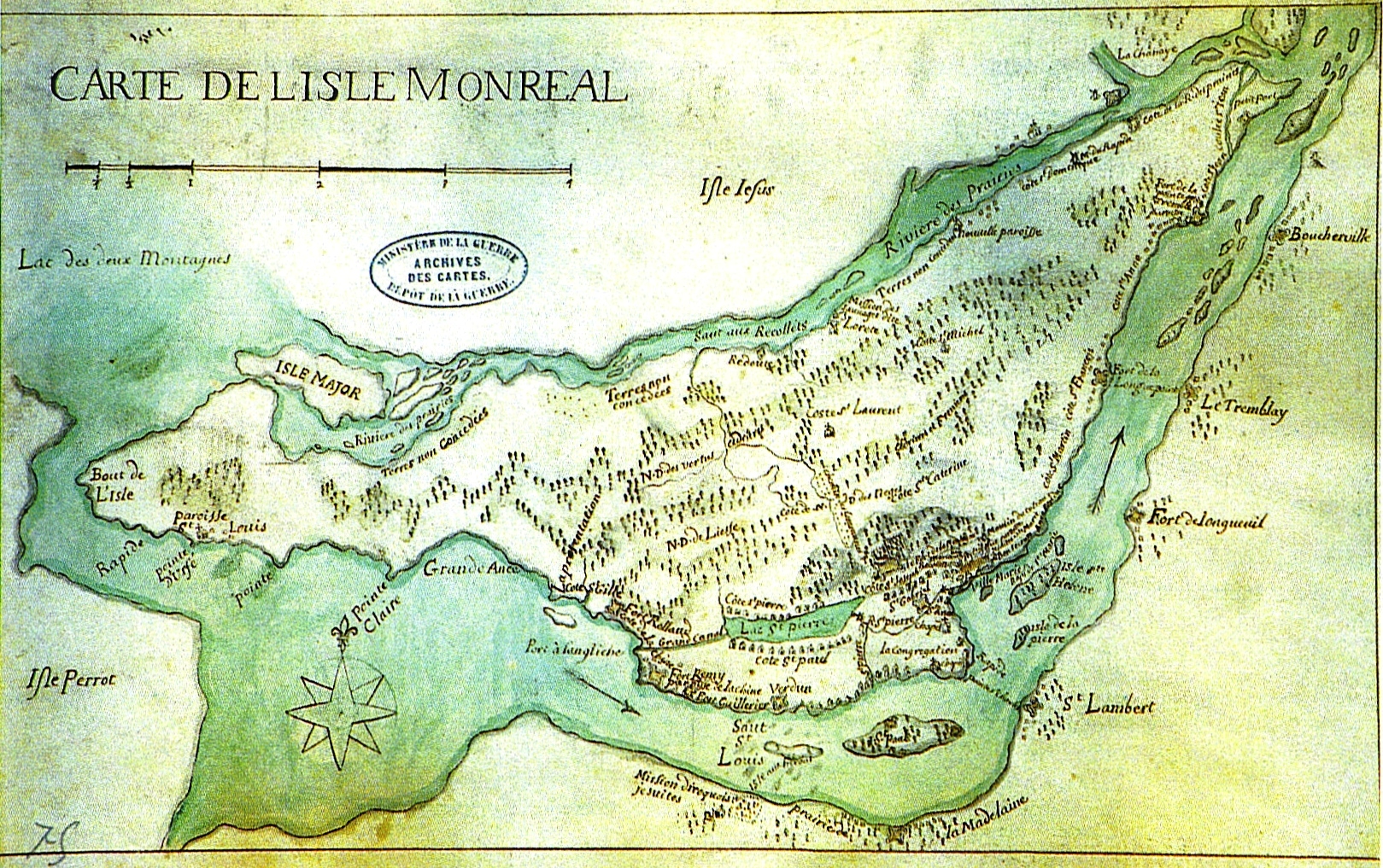
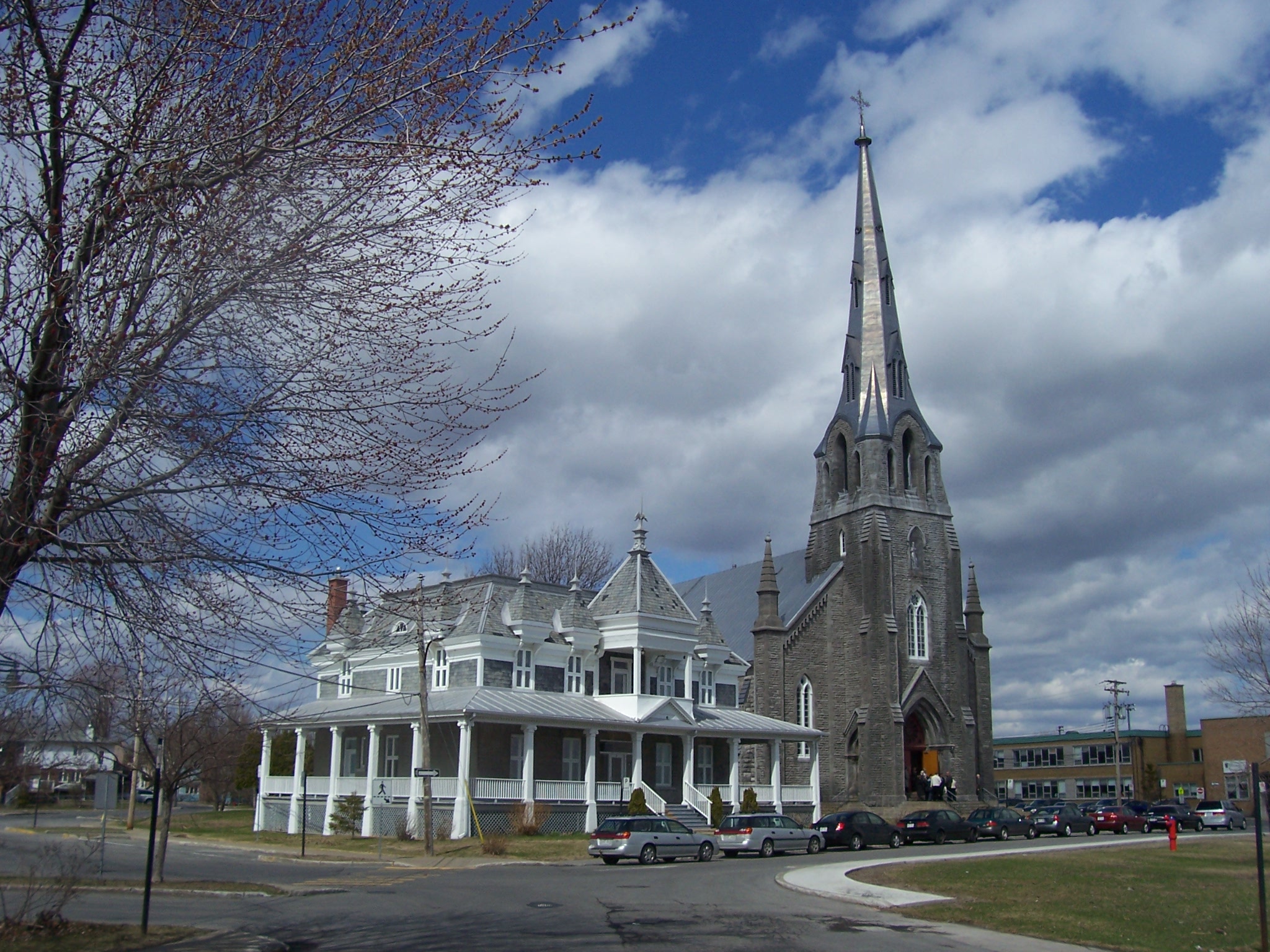
Pointe-Claire (, ) is a Quebec local municipality within the Urban agglomeration of Montreal on the Island of Montreal in Canada. It is entirely developed, and land use includes residential, light manufacturing, and retail. As of the 2021 census the population was 33,488. Toponymy The toponym refers to the peninsula, or point, where the windmill, convent, and the Saint-Joachim de Pointe-Claire Church are sited. The point extends into Lac Saint-Louis and has a clear view of its surroundings. History Pointe-Claire was first described by Nicolas Perrot in his account of 1669, and the name Pointe-Claire appeared on a map as early as 1686. Although Samuel de Champlain canoed through the area in 1613, he reported no village or dwelling visible. The urbanization of the territory of Pointe-Claire began in the 1600s, when the Sulpicians were lords of the island of Montreal. Land on the island of Montreal was granted to the Sulpicians for development as early as 1663. They beg ... [...More Info...] [...Related Items...] OR: [Wikipedia] [Google] [Baidu] |
Réseau Express Métropolitain
The Réseau express métropolitain (REM; en, Metropolitan Express Network) is a light metro rapid transit system under construction in Greater Montreal, Quebec, Canada. When completed in 2025, the system will link several Montreal suburbs and Montréal–Trudeau International Airport with Downtown Montreal. The existing Deux-Montagnes line is being converted to light metro standards. The light metro rail system is projected to cost $6.9billion. It will be independent of—but connect to—the existing Montreal Metro, operated by the STM. Trains on the network will be fully automated and driverless, and it will become the fifth-longest automated transportation system in the world, after the Singapore Mass Rapid Transit, Kuala Lumpur Rapid KL, Vancouver SkyTrain, and Dubai Metro. The first section between Brossard and Central Station is expected to open in the second quarter of 2023. History On 13 January 2015, Quebec Premier Philippe Couillard and Michael Sabia, CEO of ... [...More Info...] [...Related Items...] OR: [Wikipedia] [Google] [Baidu] |
Pointe-Claire, Quebec
Pointe-Claire (, ) is a Quebec local municipality within the Urban agglomeration of Montreal on the Island of Montreal in Canada. It is entirely developed, and land use includes residential, light manufacturing, and retail. As of the 2021 census the population was 33,488. Toponymy The toponym refers to the peninsula, or point, where the windmill, convent, and the Saint-Joachim de Pointe-Claire Church are sited. The point extends into Lac Saint-Louis and has a clear view of its surroundings. History Pointe-Claire was first described by Nicolas Perrot in his account of 1669, and the name Pointe-Claire appeared on a map as early as 1686. Although Samuel de Champlain canoed through the area in 1613, he reported no village or dwelling visible. The urbanization of the territory of Pointe-Claire began in the 1600s, when the Sulpicians were lords of the island of Montreal. Land on the island of Montreal was granted to the Sulpicians for development as early as 1663. They beg ... [...More Info...] [...Related Items...] OR: [Wikipedia] [Google] [Baidu] |
Boulevard Des Sources
Des Sources Boulevard is a north-south artery located in the west of the island of Montreal, informally known locally as the West Island. The boulevard crosses the island completely from north to south. In the south, it starts at the intersection of Chemin du Bord-du-Lac and intersects Highway 20 at Exit 53. It then intersects Highway 40 at Exit 55. Thereafter, it crosses the city of Dollard-des-Ormeaux and reaches Pierrefonds Boulevard and Gouin Boulevard in the north. It ends on Debours Street in a newly built residential area. History Des Sources goes back to the 1700s when it facilitated the movement from one concession to the nexthence its former nam“montée des Sources” It was designated a boulevard only in 1961. Public transport The 209 Des Sources serves the boulevard starting from YUL Montréal Trudeau airport to Roxboro Pierrfonds REM station. The 409 Express Des Sources goes from Av. Anselme-Lavigne to Du College metro station. See also *Boulevard Saint-Je ... [...More Info...] [...Related Items...] OR: [Wikipedia] [Google] [Baidu] |
Railway Stations In Montreal
Rail transport (also known as train transport) is a means of transport that transfers passengers and goods on wheeled vehicles running on rails, which are incorporated in tracks. In contrast to road transport, where the vehicles run on a prepared flat surface, rail vehicles (rolling stock) are directionally guided by the tracks on which they run. Tracks usually consist of steel rails, installed on sleepers (ties) set in ballast, on which the rolling stock, usually fitted with metal wheels, moves. Other variations are also possible, such as "slab track", in which the rails are fastened to a concrete foundation resting on a prepared subsurface. Rolling stock in a rail transport system generally encounters lower frictional resistance than rubber-tyred road vehicles, so passenger and freight cars (carriages and wagons) can be coupled into longer trains. The operation is carried out by a railway company, providing transport between train stations or freight customer facil ... [...More Info...] [...Related Items...] OR: [Wikipedia] [Google] [Baidu] |
Transport In Pointe-Claire
Transport (in British English), or transportation (in American English), is the intentional movement of humans, animals, and goods from one location to another. Modes of transport include air, land (rail and road), water, cable, pipeline, and space. The field can be divided into infrastructure, vehicles, and operations. Transport enables human trade, which is essential for the development of civilizations. Transport infrastructure consists of both fixed installations, including roads, railways, airways, waterways, canals, and pipelines, and terminals such as airports, railway stations, bus stations, warehouses, trucking terminals, refueling depots (including fueling docks and fuel stations), and seaports. Terminals may be used both for interchange of passengers and cargo and for maintenance. Means of transport are any of the different kinds of transport facilities used to carry people or cargo. They may include vehicles, riding animals, and pack animals. Vehicles may i ... [...More Info...] [...Related Items...] OR: [Wikipedia] [Google] [Baidu] |
Réseau Express Métropolitain Railway Stations
The term réseau derives from a French word meaning "network". It may mean: *a network of fine lines on a glass plate, used in photographic telescopes to make a corresponding network on photographs of the stars: see Réseau plate *a system of weather stations under a single agency, or cooperating on common goals *an intelligence network as used by John Le Carré, in ''Tinker, Tailor, Soldier, Spy'', chapter 11. *the Bobbin lace ground, net in bobbin lace * SNCF TGV Réseau {{Disambiguation ... [...More Info...] [...Related Items...] OR: [Wikipedia] [Google] [Baidu] |
Buildings And Structures In Pointe-Claire
A building, or edifice, is an enclosed structure with a roof and walls standing more or less permanently in one place, such as a house or factory (although there's also portable buildings). Buildings come in a variety of sizes, shapes, and functions, and have been adapted throughout history for a wide number of factors, from building materials available, to weather conditions, land prices, ground conditions, specific uses, prestige, and aesthetic reasons. To better understand the term ''building'' compare the list of nonbuilding structures. Buildings serve several societal needs – primarily as shelter from weather, security, living space, privacy, to store belongings, and to comfortably live and work. A building as a shelter represents a physical division of the human habitat (a place of comfort and safety) and the ''outside'' (a place that at times may be harsh and harmful). Ever since the first cave paintings, buildings have also become objects or canvasses of much artis ... [...More Info...] [...Related Items...] OR: [Wikipedia] [Google] [Baidu] |


